Hunting Season 2026/27 — Check for hunts

Autumn is here, and that means hunting season has begun! From mid-October to January/February, hunters are active across the country. Stay safe by checking hunt dates in your area on our Map. 

Click on Map in the Header > Services > More > Hunting.

Starting point

Mullerthal Heringer Millen

Destination

Blumenthal

Distance
9,34 km
Duration
2:35 h
Difficulty
medium
  • Condition
Highest point
384 Hm
Lowest point
213 Hm
Aggregated Ascent
171 Hm
Aggregated Descent
103 Hm
Visit Luxembourg

Description

This section of the Mullerthal Trail leads from Müllerthal to Blumenthal. It is one of 13 sections into which the entire Mullerthal Trail can be divided.

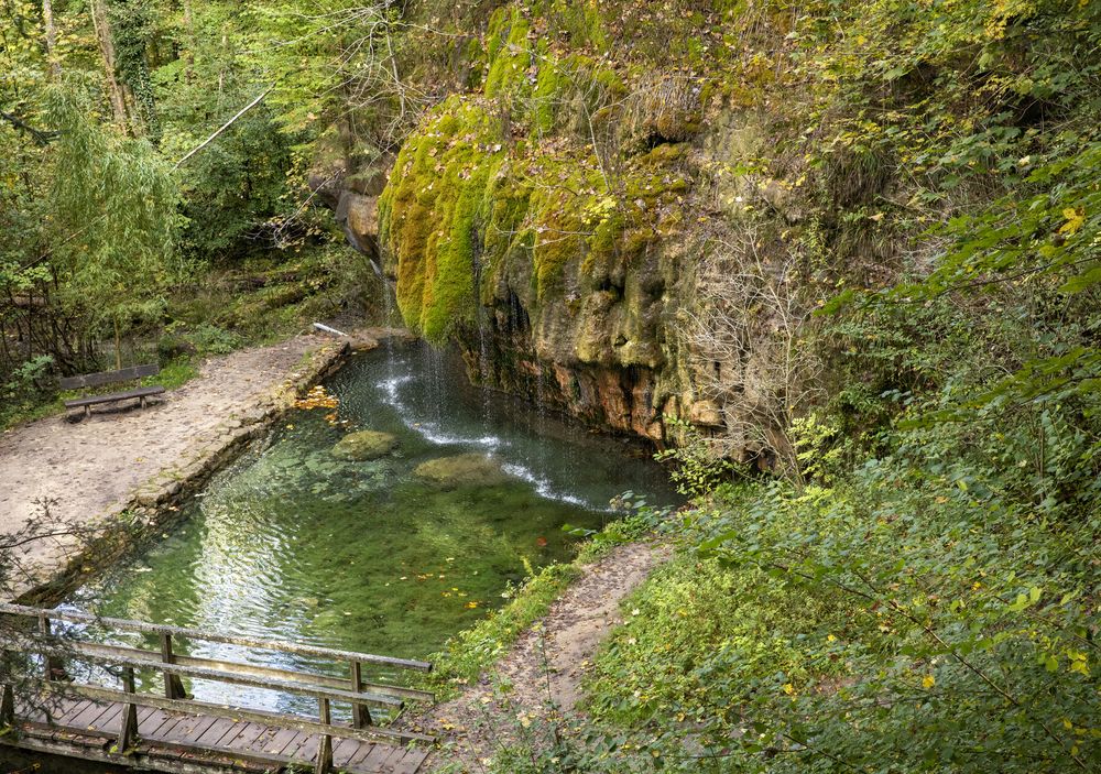
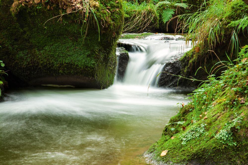
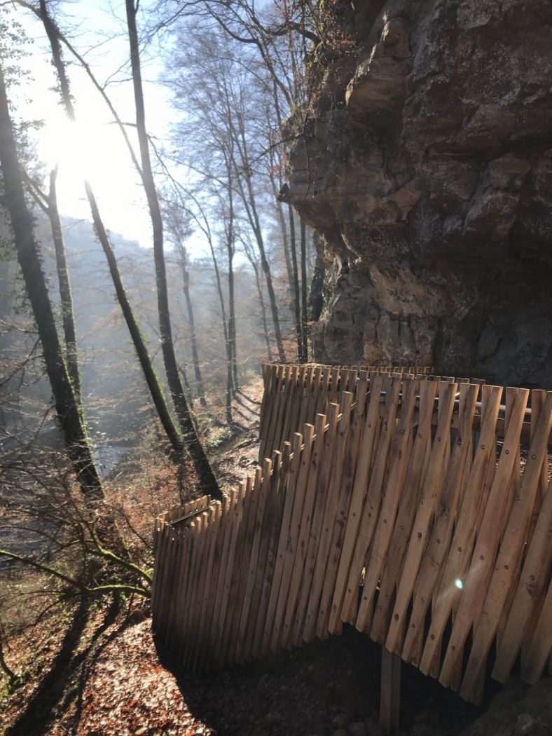
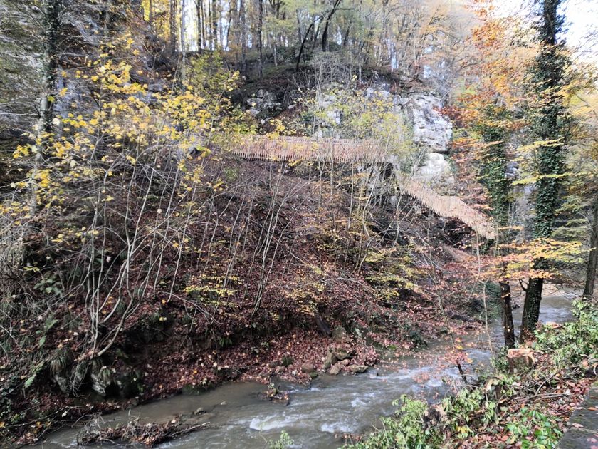
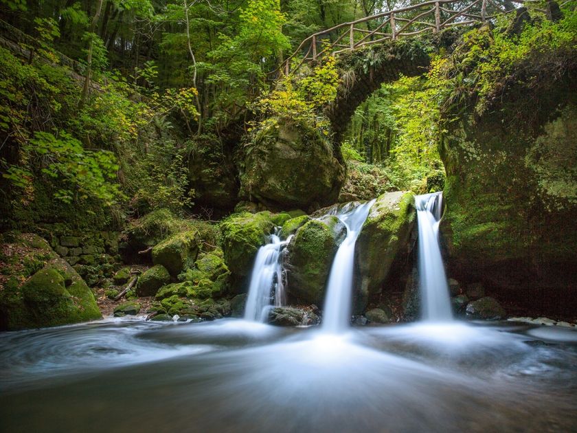
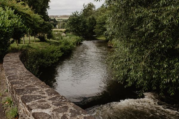
The Black Ernz is the recurring companion of this route. From the starting point at the Heringer Millen, the Mullerthal Trail follows the course of this stream to the picturesque waterfall Schéissendëmpel. You cross the Black Ernz here and above the brook the route runs along a narrow path directly along the slope. After a few meters, there is a spectacular passage over a nearly 90 m long and seemingly floating staircase construction. You continue, following the stream, into the Paaschent forest. After a few meters, the Mullerthal Trail leaves the creek and leads up into the forest for a certain while until it goes down the steps to the geosite Kallektuffquell. Here the Black Ernzis very close again. The Mullerthal Trail now runs parallel to the creek on a wooden bridge that crosses it several times. Then, the MullerthalTrail leads uphill towards Marscherwald known as peaty, light beech wood. In the following section, the MullerthalTrail crosses the Rippsmuer- a high moor - and the Sonnenauer, a sundial, chiseled in arock. The walk continues towards Blumenthal, where the MullerthalTrail meets the Black Ernz again.

Suggestions nearby

Mullerthal Trail – Section 7: Müllerthal–Blumenthal

  • ©GPM Raymond Clement
    Lëschbuer
    The oldest Luxembourgers lived in the Mullerthal Region – Luxembourg’s Litte Switzerland
    Find out more
  • Trap - Schiessentümpel staircase
    Trap - Schiessentümpel staircase
    Find out more
  • ©Charel Heinen
    Brasserie Heringer Millen
    Eat, drink, relax – the Brasserie Heringer Millen in the locality of Mullerthal welcomes you.
    Find out more
  • Schiessentümpel / Schéissendëmpel waterfall
    Schiessentümpel / Schéissendëmpel waterfall
    Find out more
  • Natura 2000 area - Valley of the Black Ernz
    Natura 2000 area - Valley of the Black Ernz
    Find out more
  • ©C. Bosseler
    Travertine source Kallektuffquell
    Travertine source Kallektuffquell
    Find out more

Similar hiking tours

©Visit Luxembourg
Circular routes
Local hiking trail GM2 - Gruussfooscht/Haard
Distance: 6,93 km
Duration: 2:00 h
Difficulty: medium
Find out more
©Visit Luxembourg
Circular routes
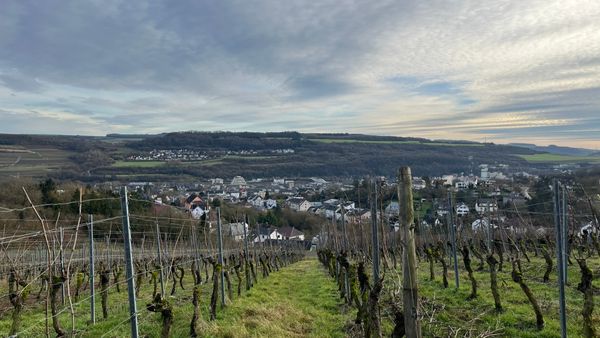
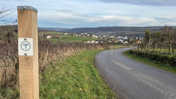
Local hiking trail GM3 - Groësteen
Distance: 8,37 km
Duration: 2:30 h
Difficulty: medium
Find out more
©Visit Éislek
Circular routes
Auto-Pédestre hiking route Heiderscheid
Distance: 7,97 km
Duration: 2:25 h
Difficulty: medium
Find out more
©Jeniska, Visit Éislek
Circular routes
Auto-Pédestre hiking route Roder
Distance: 7,64 km
Duration: 2:30 h
Difficulty: medium
Find out more
©Visit Éislek
Circular routes
Auto-Pédestre route Goesdorf
Distance: 6,87 km
Duration: 2:10 h
Difficulty: medium
Find out more
©Visit Éislek
Circular routes
Auto-Pédestre Baschleiden route
Distance: 8,55 km
Duration: 2:40 h
Difficulty: medium
Find out more
©Visit Éislek
Circular routes
Auto-Pédestre hiking route Wilwerwiltz
Distance: 9,65 km
Duration: 2:50 h
Difficulty: medium
Find out more
©Visit Éislek
Circular routes
Auto-Pédestre Hiking Trail Consthum
Distance: 7,72 km
Duration: 2:15 h
Difficulty: medium
Find out more
©Visit Luxembourg
Circular routes
Circuit du Lac (eastern part)
Distance: 16,79 km
Duration: 5:30 h
Difficulty: medium
Find out more
outdooractive This website uses technology and content from the Outdooractive Platform.