©Visit Luxembourg

Local hiking trail GM3 - Groësteen

Starting point

Bus station next to the Machera Cultural Center

Destination

Bus station next to the Machera Cultural Center

Distance
8,37 km
Duration
2:30 h
Difficulty
medium
  • Condition
Highest point
290 Hm
Lowest point
140 Hm
Aggregated Ascent
198 Hm
Aggregated Descent
198 Hm
Visit Luxembourg

Description

Scenic Refreshment stops available Dog-friendly
Local hiking trail in Grevenmacher

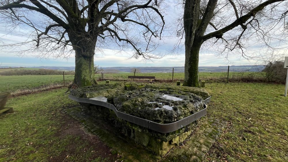
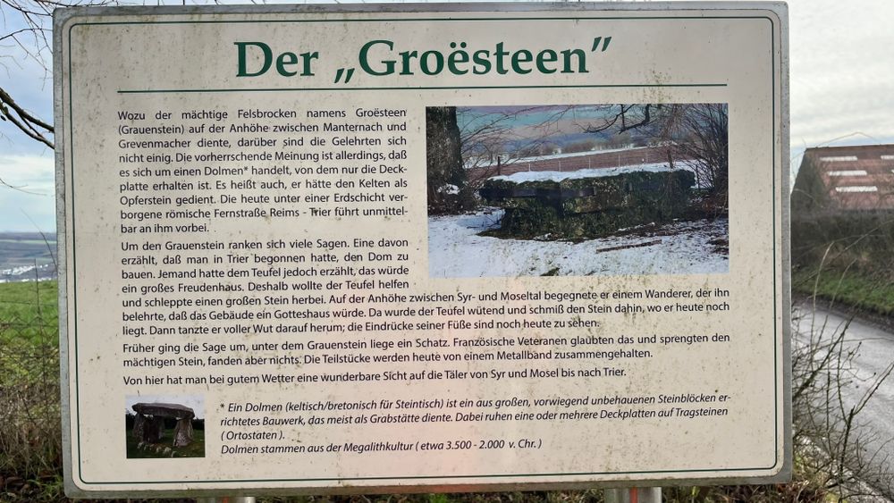
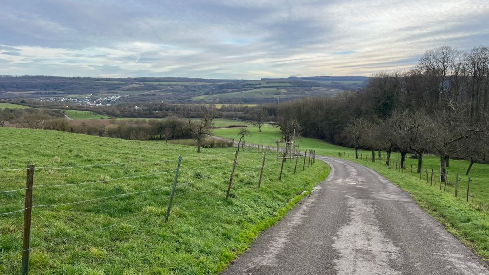
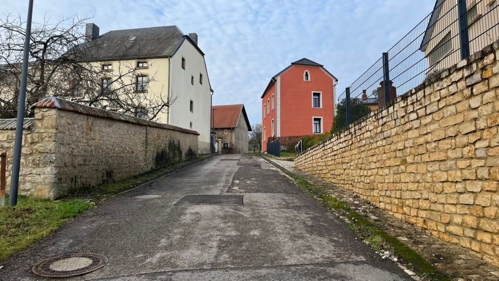
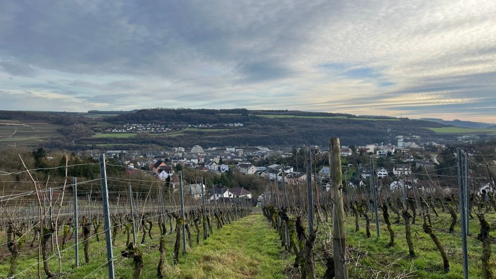
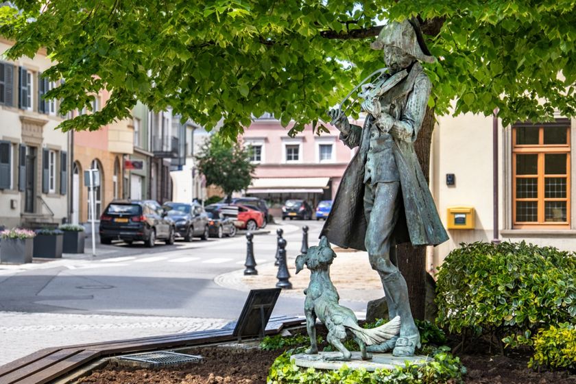
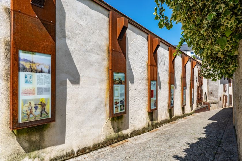
The local hiking trail starts at the bus station and passes the market square, then continues along rue des Remparts – where a former tower of the fortifications recalls part of Grevenmacher’s history – towards rue Hiel, a residential street at the end of which there is a farm and winery. The route then crosses the A1 motorway bridge into the Haard forest area. An intermediate destination is the Groesteen, a dolmen dating from pre-Christian times. From there, the trail continues along the road to the village of Münschecker. It then leads through fields and meadows, as well as a short stretch along the road. After crossing the bridge, the path turns left, running alongside the A1 motorway towards the “Pärdsmoart”, where horse trading used to take place. Passing through the residential area along rue de Münschecker, the route continues via rue des Caves and rue de Trèves back to the starting point.
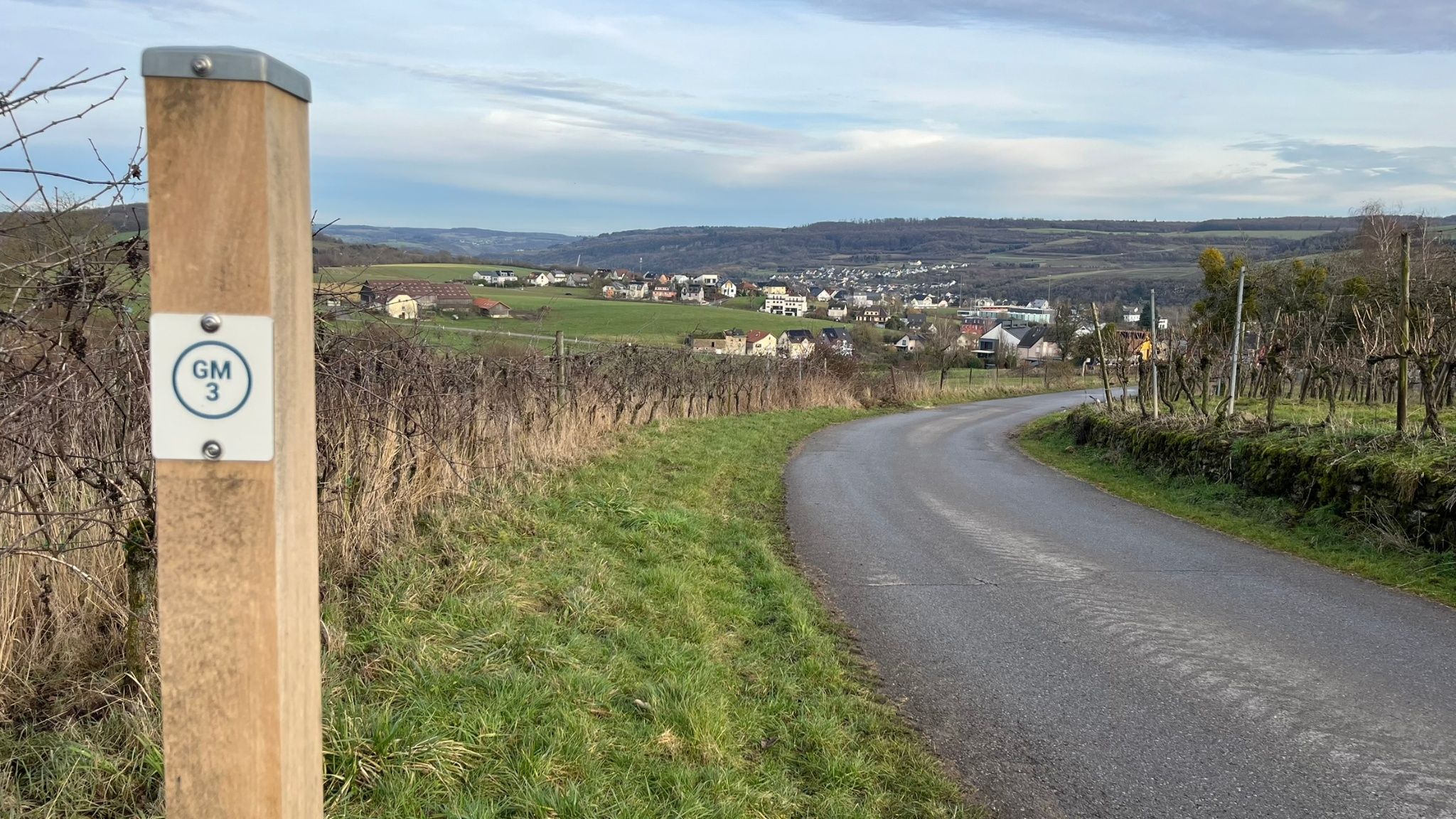
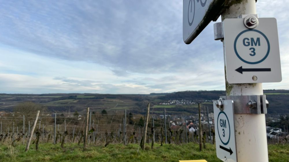
Current conditions

Source: Visit Luxembourg, Published: 2026-05-05
Closure of the local hiking trail GM3 - Groësteen
Closure: Due to the closure of the motorway bridge on CR 137 between Grevenmacher and Münschecker, the local hiking trail GM3 – Groesteen is closed. As an alternative, the local hiking trails GM1, GM2 and GM4 are available (starting point: Centre Culturel Machera).

Please take note of this change and thank you for your understanding.

Duration: +/- March 2027

Suggestions nearby

Local hiking trail GM3 - Groësteen

  • ©Ville de Grevenmacher
    The Turgaass
    The Turgaass
    Find out more
  • ©Ville de Grevenmacher
    The Kundel
    The Kundel
    Find out more
  • The Zéintscheier
    The Zéintscheier
    Find out more
  • The Parish Church of St. Laurent
    The Parish Church of St. Laurent
    Find out more
  • ©Ville de Grevenmacher
    De blannen Theis
    De blannen Theis
    Find out more
  • ©Restaurant Savory by Chris Juchemes
    Restaurant Savory by Chris Juchemes
    Restaurant Savory by Chris Juchemes
    Find out more

Similar hiking tours

©Visit Luxembourg
Local hiking trail GM2 - Gruussfooscht/Haard
Distance: 6,93 km
Duration: 2:00 h
Difficulty: medium
Find out more
©Visit Éislek
Circular routes
Auto-Pédestre hiking route Heiderscheid
Distance: 7,97 km
Duration: 2:25 h
Difficulty: medium
Find out more
©Visit Éislek
Circular routes
Auto-Pédestre route Lieler
Distance: 7,85 km
Duration: 2:15 h
Difficulty: medium
Find out more
©Jeniska, Visit Éislek
Circular routes
Auto-Pédestre hiking route Roder
Distance: 7,64 km
Duration: 2:30 h
Difficulty: medium
Find out more
©Visit Luxembourg
Circular routes
Auto-Pédestre trail Holtz
Distance: 8,92 km
Duration: 2:30 h
Difficulty: medium
Find out more
©Lynn Schüssler, Visit Luxembourg
Éislek Pied
Éislek Pad Heinerscheid
Distance: 15,84 km
Duration: 4:50 h
Difficulty: medium
Find out more
©Visit Éislek
Circular routes
Auto-Pédestre Baschleiden route
Distance: 8,55 km
Duration: 2:40 h
Difficulty: medium
Find out more
©Visit Éislek
Circular routes
Auto-Pédestre Hiking Trail Consthum
Distance: 7,72 km
Duration: 2:15 h
Difficulty: medium
Find out more
©Visit Luxembourg
Circular routes
Circuit du Lac (eastern part)
Distance: 16,79 km
Duration: 5:30 h
Difficulty: medium
Find out more
outdooractive This website uses technology and content from the Outdooractive Platform.