Luxembourg Hiking
Heat and drought: help us protect nature
During periods of high temperatures and prolonged dry weather, the risk of vegetation and forest fires increases significantly. By following a few simple precautionary measures, everyone can help protect our natural landscapes and forests.
Read the recommendations issued by the Luxembourg authorities to help prevent vegetation and forest fires.
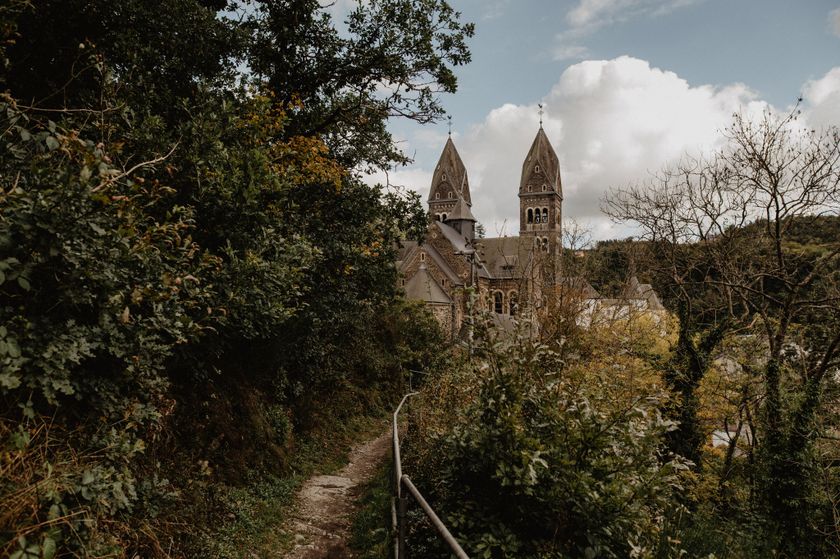
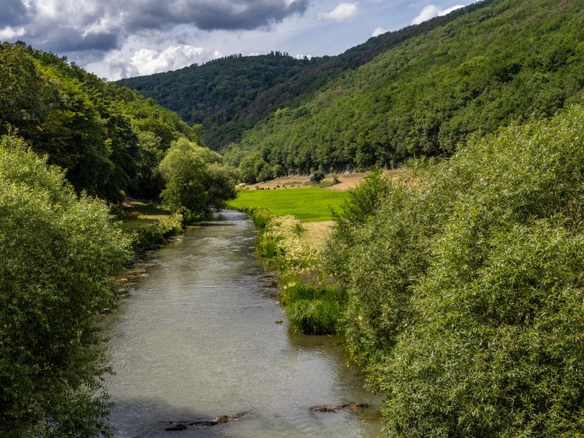
Dirbach©Jeniska Photography Hiking map
pdf | 5.60 MBDownload - Hiking map | pdf | 5.60 MBThe foldable hiking map includes a geographic orientation of the country’s walking trails as well as useful information about the activity. It provides an overview of the main hiking offer in Luxembourg, with guidance on where to find more specific information. One map in four languages (DE, FR, EN, NL).

Hiking trails in Luxembourg
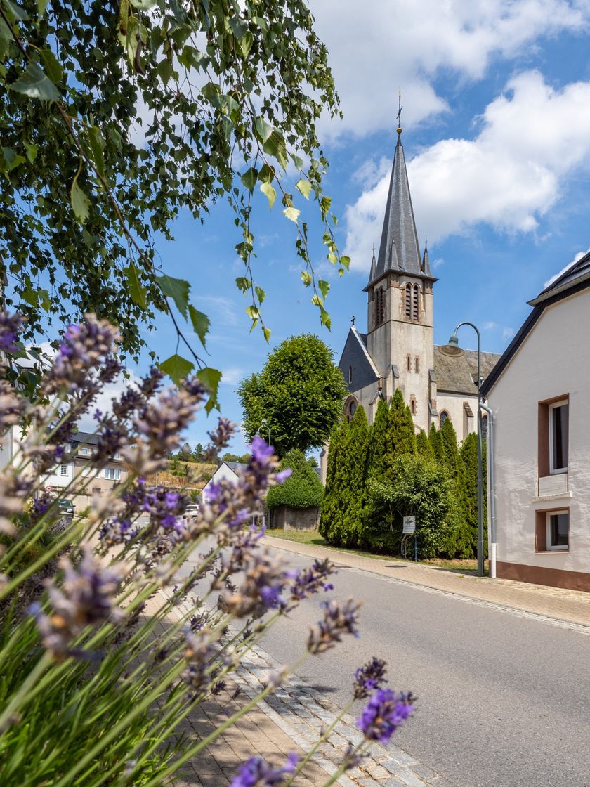
641 results
©Visit Éislek, Visit Éislek Éislek PiedKids & Family ScenicÉislek Path Clervaux
Distance: 13,68 kmFind out more
Duration: 4:05 h
Difficulty: difficult©Anne Lommel, Visit Luxembourg Circular routesKids & Family Scenic Dog-friendlyLocal hiking trail - L5
Distance: 6,61 kmFind out more
Duration: 1:55 h
Difficulty: medium©ORT Sud Thematic pathsKids & FamilyDidactic path "Am Brill" - Schifflange
Distance: 3,06 kmFind out more
Duration: 0:45 h
Difficulty: easy©©Caroline Martin , Visit Luxembourg Thematic pathsKids & Family ScenicFormer Game Park Clervaux
Distance: 2,80 kmFind out more
Duration: 0:55 h
Difficulty: medium©Gregor Lengler, Visit Luxembourg Circular routesTour tip Kids & Family Scenic Dog-friendlyWenzel Circular Route
Distance: 2,50 kmFind out more
Duration: 3:00 h
Difficulty: easy©Visit Éislek Circular routesScenicAuto-Pédestre Tadler hiking trail
Distance: 4,57 kmFind out more
Duration: 1:30 h
Difficulty: easy©Aarnon Burden, Visit Luxembourg Circular routesAuto-pédestre trail Kopstal
Distance: 9,61 kmFind out more
Duration: 2:50 h
Difficulty: medium©Visit Luxembourg Circular routesScenicLocal Hiking Trail FE 1 - Niederfeulen
Distance: 9,47 kmFind out more
Duration: 2:35 h
Difficulty: medium©Paul Hilbert, Visit Luxembourg Circular routesAuto-Pédestre hiking route Ahn
Distance: 5,78 kmFind out more
Duration: 1:40 h
Difficulty: easy©Visit Éislek Circular routesScenicAuto-Pédestre hiking route Arsdorf
Distance: 11,05 kmFind out more
Duration: 3:10 h
Difficulty: medium