Distance trails Visit Luxembourg
Description
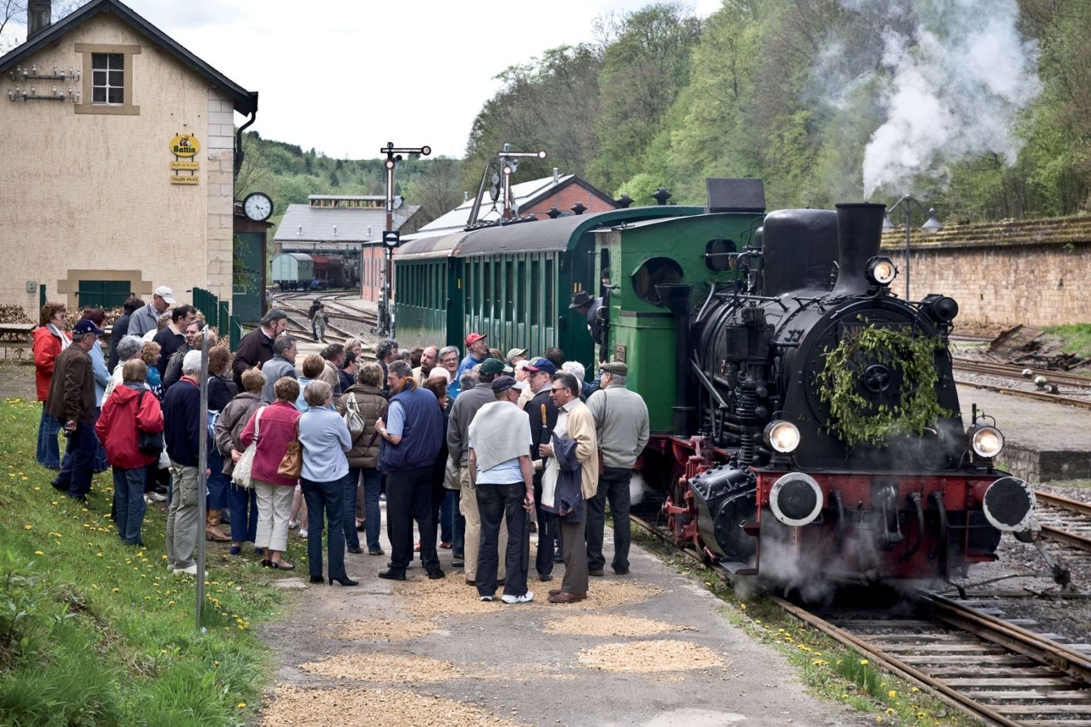
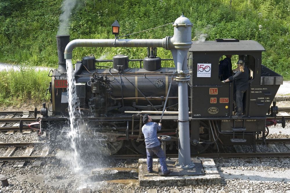
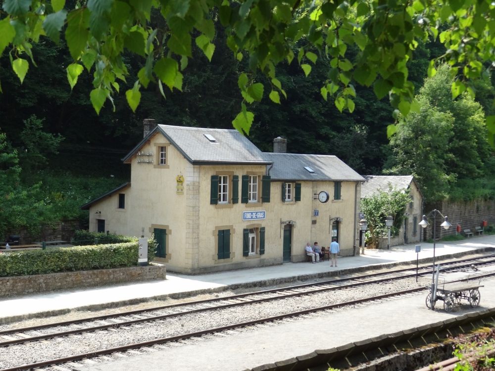
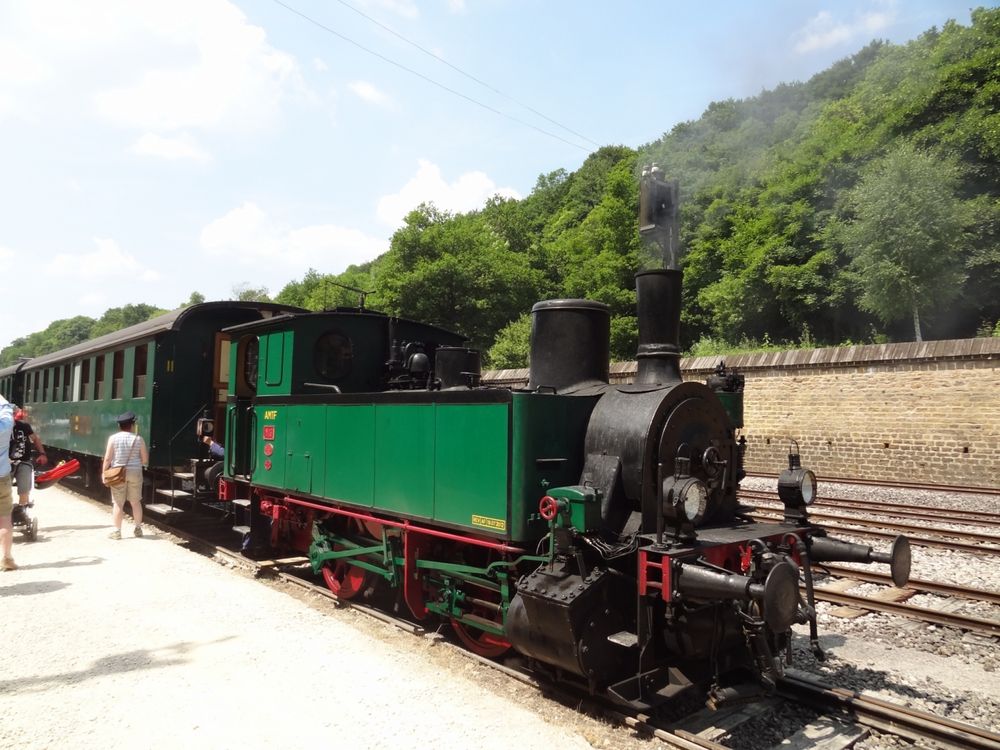
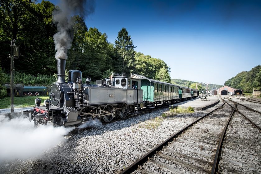
Hike from station to station, from Oberkorn via Fond-de-Gras to Rodange
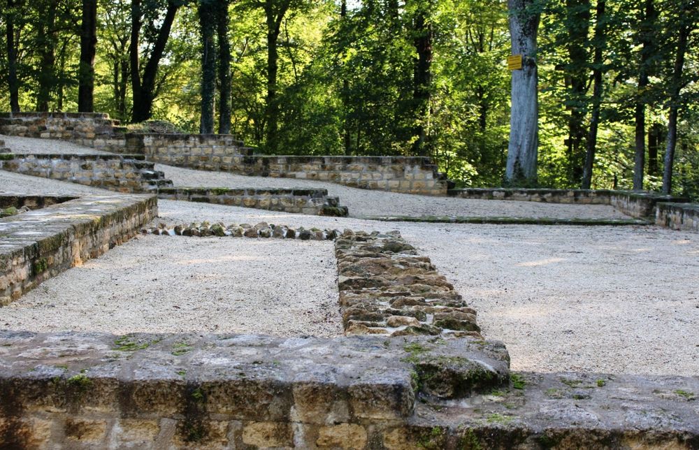
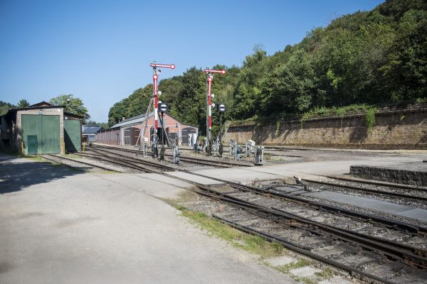
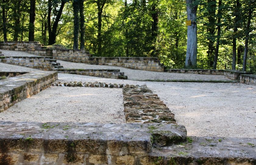
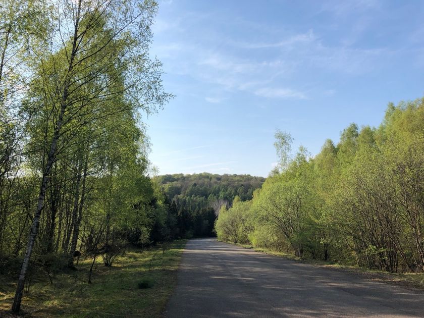
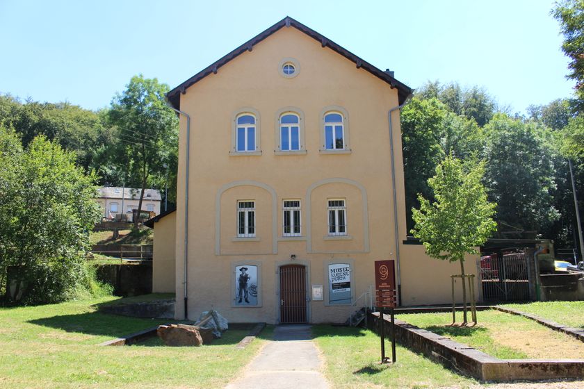
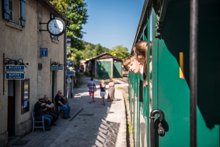
The route follows the national hiking trail Sentier du Sud to the French border, then the Sentier des Mineurs through an extensive forest area. At Roudenhaff, the path leaves the border and leads down to Fond-de-Gras with its interesting industrial and railway museum. The hiker circles the Têtelbierg with its interesting archaeological excavations and reaches the Rodange station via Lamadelaine.
© Editions Guy Binsfeld
Signposting
Directions
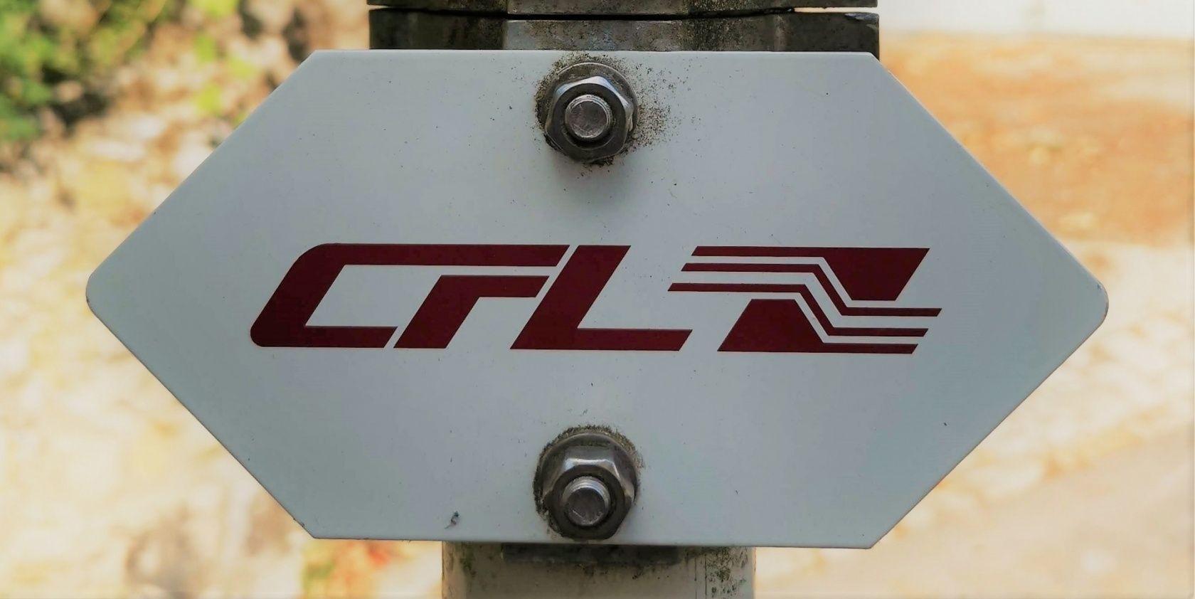
Please follow the signs labeled "CFL"
For your safety
Remember to bring sufficient food and drinking water
Equipment
Remember to bring sufficient food and drinking water
Journey
Public transport:
Parking:
Start and finish are at a station
Parking:
There are public parking spaces at both stations


 This website uses technology and content from the Outdooractive Platform.