
Description
The Auto-Pédestre leads along the Wemperbaach past three old mills.
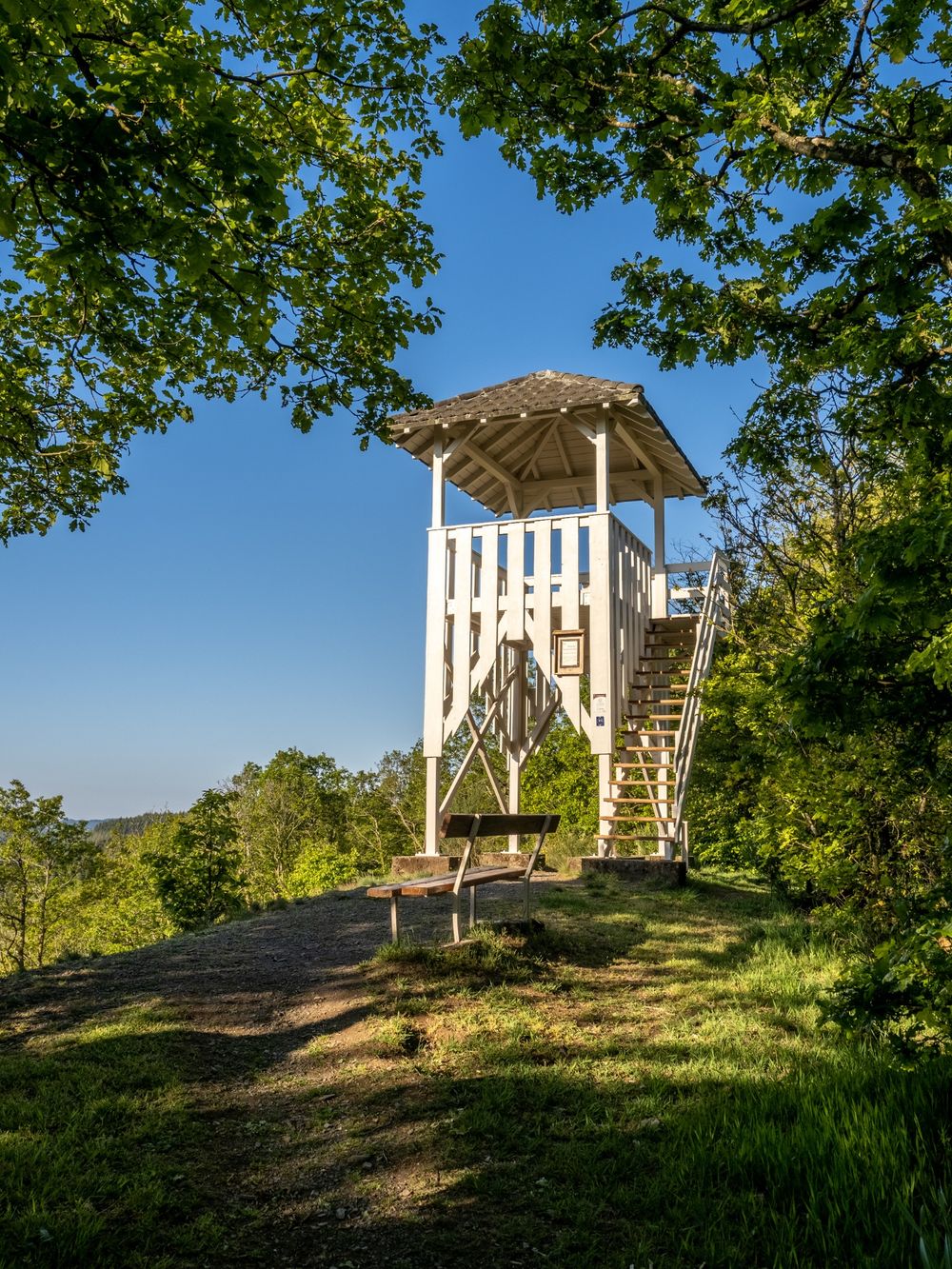
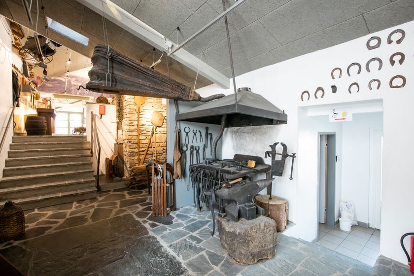
The Auto-Pédestre Binsfeld starts in the town center, directly at the cultural center. After a few meters, you walk past the museum for rural culture “A Schiewesch”. In this former farmhouse, you can discover the history and everyday life of the rural population in past centuries.
The hike continues southwards towards the Himmelsbierg. Then it follows a narrow path, the Mauluslee, to reach the Maulusmühle. Here the path turns and leads along the Wëmperbaach, past the Kléimillen, the Rossmillen, and the Hollermillen.
The Rossmillen and the adjoining ponds are part of a nature reserve where you can observe rare and protected animal species, such as black storks, little grebes, and cormorants.
The route then returns to Binsfeld, where a Roman burial site was discovered during the 1970s. The area has thus been inhabited since antiquity. The archaeological finds of the burial site can be seen in the Lëtzebuerg City Museum.
Audio
Binsfeld mp3Signposting
For your safety
Weather conditions like wetness, ice, and wind can make a route difficult. The information refers to optimal conditions.
Equipment
Sturdy footwear and something to drink.


 This website uses technology and content from the Outdooractive Platform.