Luxembourg City Éislek Müllerthal Mosel Minett Guttland Germany France

CL 5 - Clervaux

Starting point

Clervaux

Destination

Clervaux

Distance

12,54 km

Duration

3:55 h

Difficulty

medium

  • Condition

Highest point

448 Hm

Lowest point

448 Hm

Circular routes Visit Éislek

Description

From the leisurely afternoon round to the challenging hiking tour, everything is included in the Local Hiking Trails.

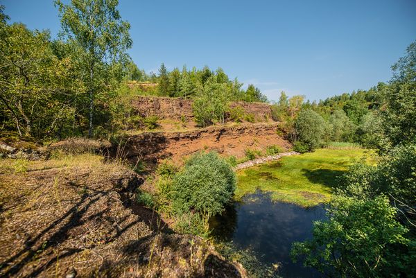
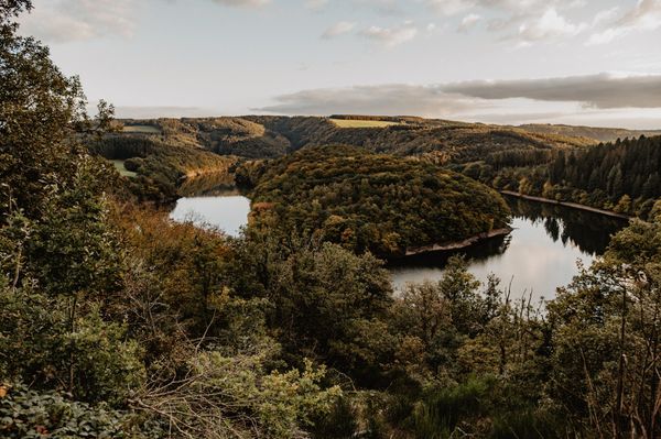
The local hiking trails are marked with the abbreviations of the municipality where they start. The larger the number that the marker symbol contains, the longer the circular hiking trail. See for yourself the variety of local hiking trails and the different features in the Éislek region.

for tour routing
local-hiking-trail-cl-5 gpx
Plan your journey

Tour feedback

Report a problem

Suggestions nearby

CL 5 - Clervaux

  • Musée des Maquettes Clervaux
    free
    with theLuxembourgCard

    Where? 6, Montée du Château, L-9712 Clervaux

    Museum of models of the Castles and Palaces of Luxembourg

    Luxembourg's castles in miniature

    Find out more
  • The Family of Man Clervaux
    free
    with theLuxembourgCard

    Where? Château de Clervaux, L-9712 Clervaux

    The Family of Man

    "The Family of Man" photo exhibition: What is humanity?

    Find out more
  • Tourist Center Clervaux

    Where? 11, Grand-Rue, L-9710 Clervaux

    Tourist Info Clervaux

    Tourist Info Clervaux

    Find out more

Similar hiking tours

Distance trails
21 Station to station Bettembourg - Dudelange-Burange

Distance: 14,68 km
Duration: 3:45 h
Difficulty: medium

Find out more
Distance trails
22 Station to Station Dudelange - Burange - Rumelange

Distance: 10,28 km
Duration: 3:00 h
Difficulty: medium

Find out more
Distance trails
23 Station to station Rumelange - Kayl

Distance: 12,64 km
Duration: 3:25 h
Difficulty: medium

Find out more
Distance trails
25 Station to station Kayl - Schifflange - Esch-sur-Alzette

Distance: 21,80 km
Duration: 6:00 h
Difficulty: medium

Find out more
Distance trails
26 Station to station Esch-sur-Alzette - Belvaux-Soleuvre

Distance: 9,06 km
Duration: 2:25 h
Difficulty: medium

Find out more
Distance trails
27 Station to station Belvaux-Soleuvre-Oberkorn

Distance: 5,20 km
Duration: 1:25 h
Difficulty: medium

Find out more
Distance trails
28 Station to station Oberkorn - Niederkorn

Distance: 8,68 km
Duration: 2:25 h
Difficulty: medium

Find out more
Distance trails
29 Station to station Niederkorn - Rodange

Distance: 10,16 km
Duration: 2:55 h
Difficulty: medium

Find out more
Distance trails
30 Station to station Oberkorn - Fond de Gras - Rodange

Distance: 17,83 km
Duration: 4:55 h
Difficulty: medium

Find out more
outdooractive This website uses technology and content from the Outdooractive Platform.