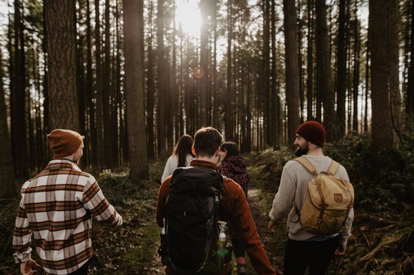
Description
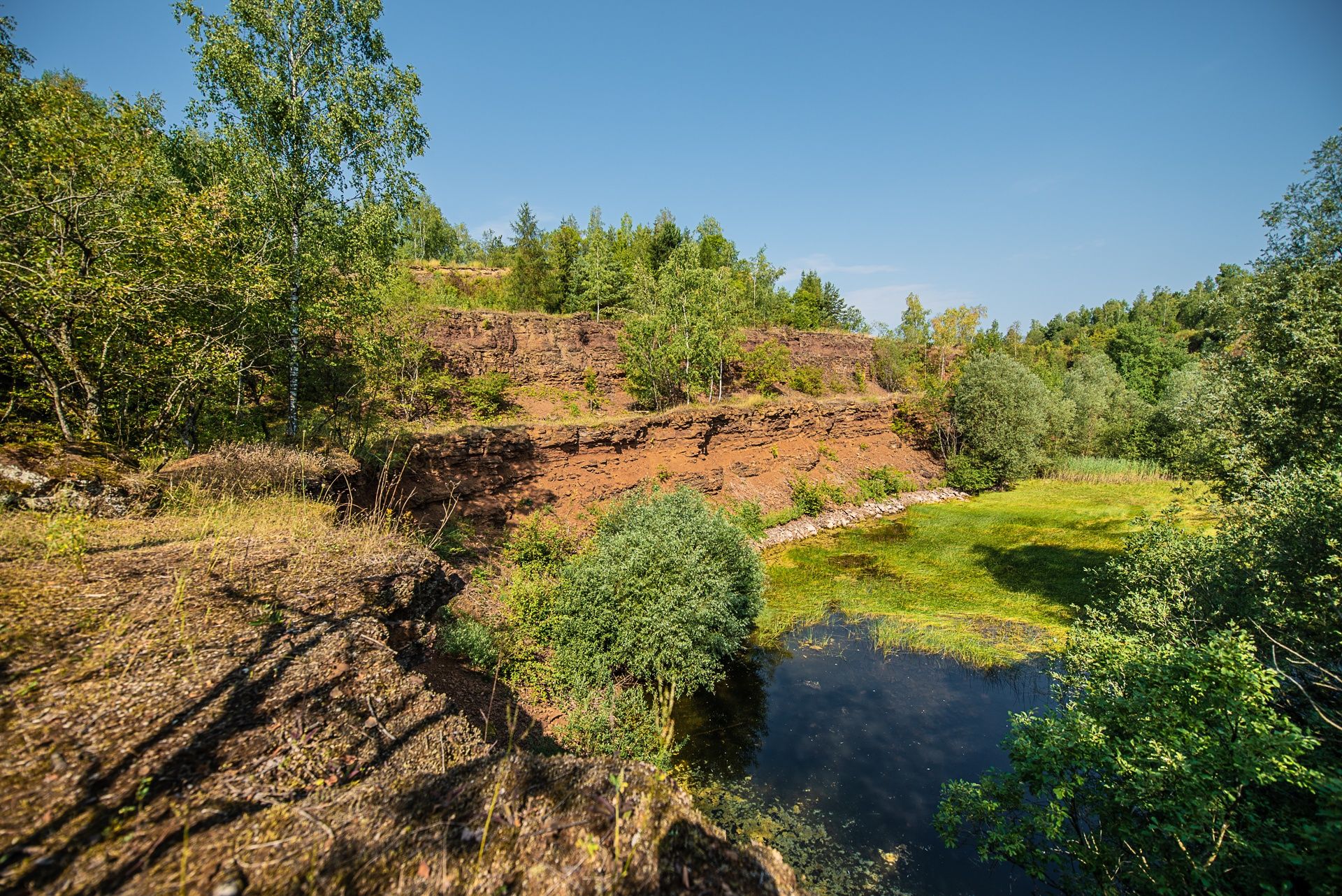
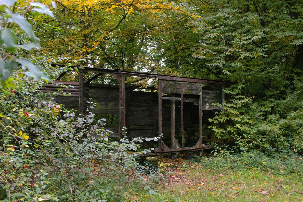
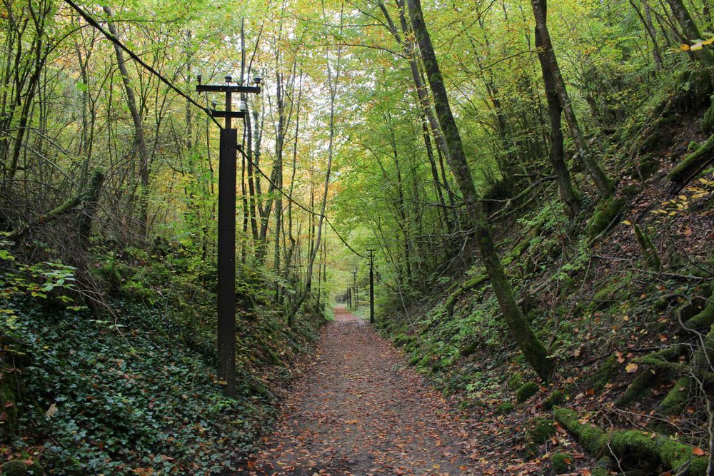
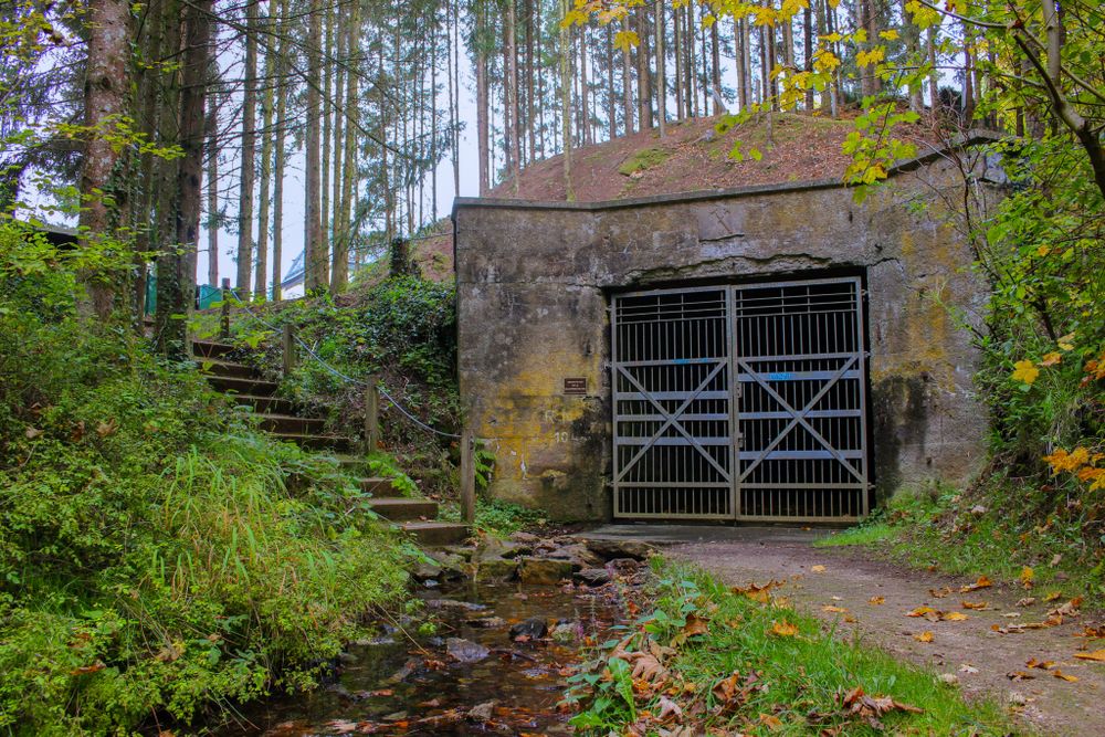
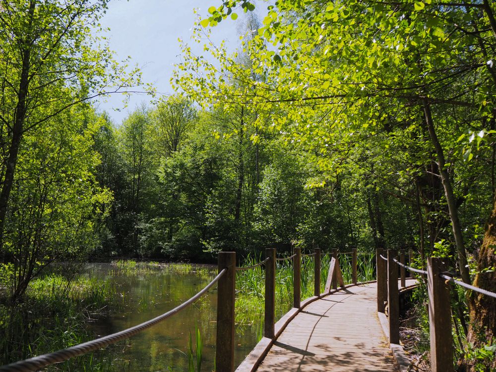
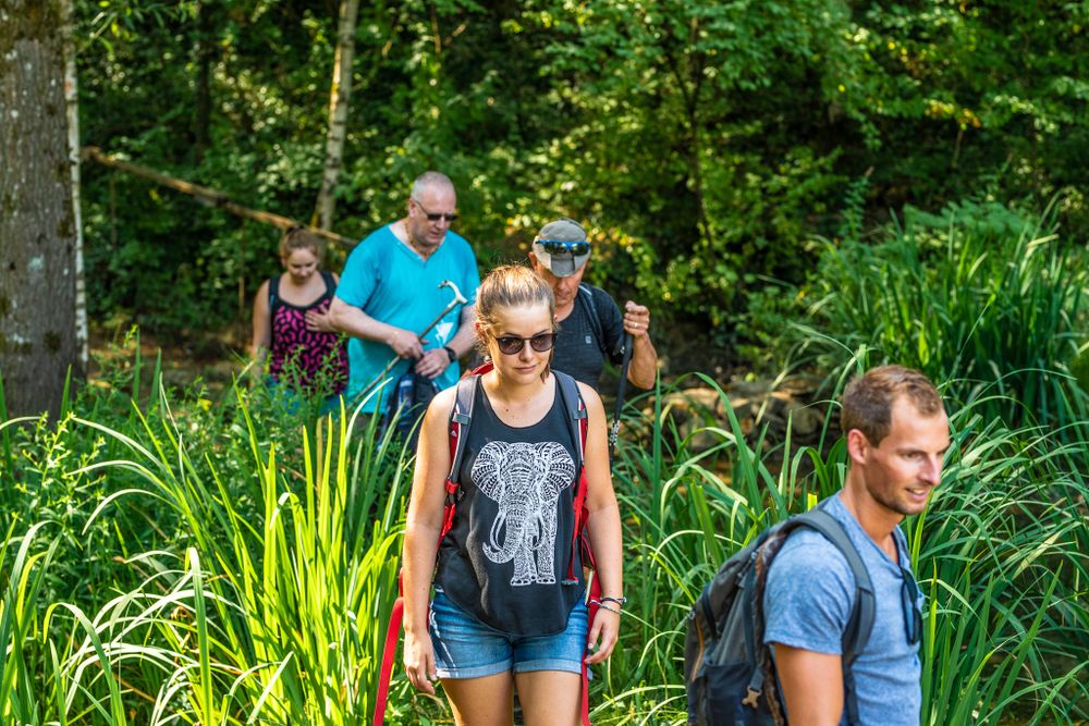
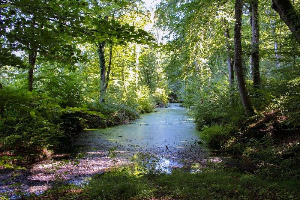
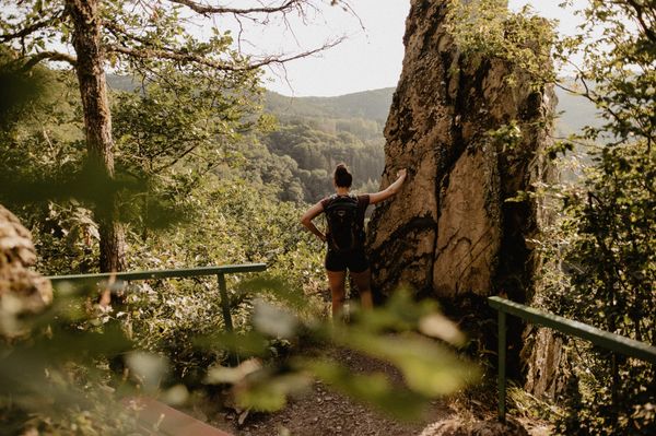
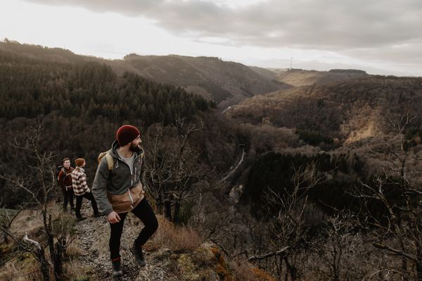
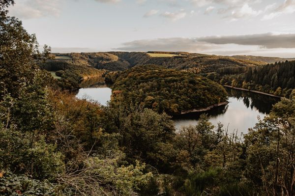
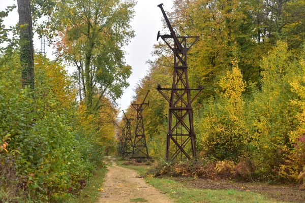
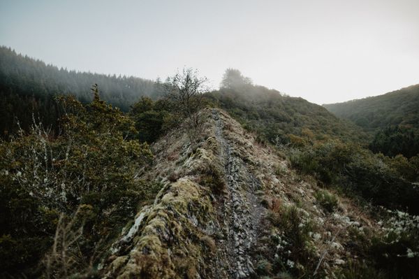
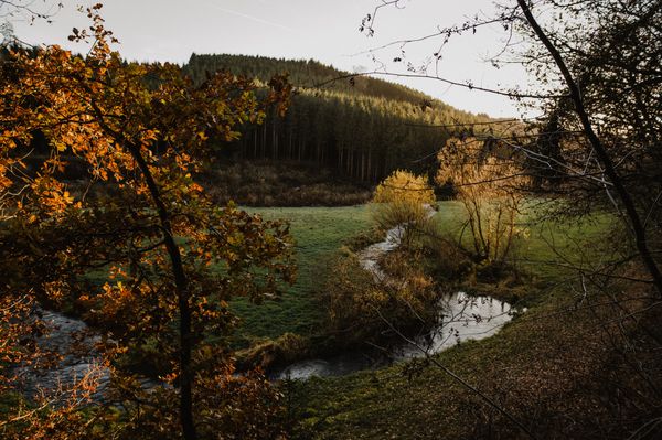
The circular hiking trail, approximately 24 kilometers long, leads through former mining towns, relics of the steel industry, and tranquil nature reserves of the Minett region. Along the route, disused mines, former railway lines, and authentic villages tell stories of work and daily life, of change, resistance, and new beginnings. It's a trail for everyone who wants to explore history, enjoy the scenery, and experience what has shaped this region—and what defines it today.
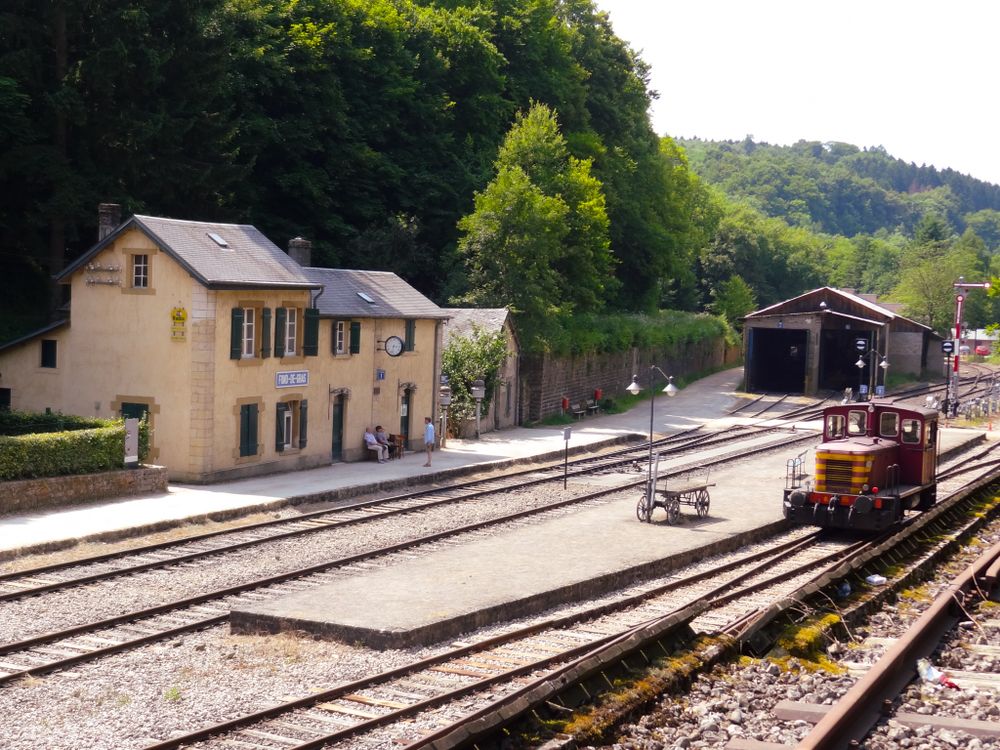
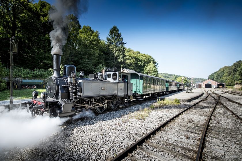
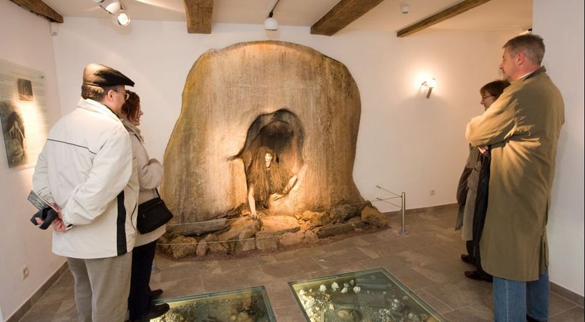
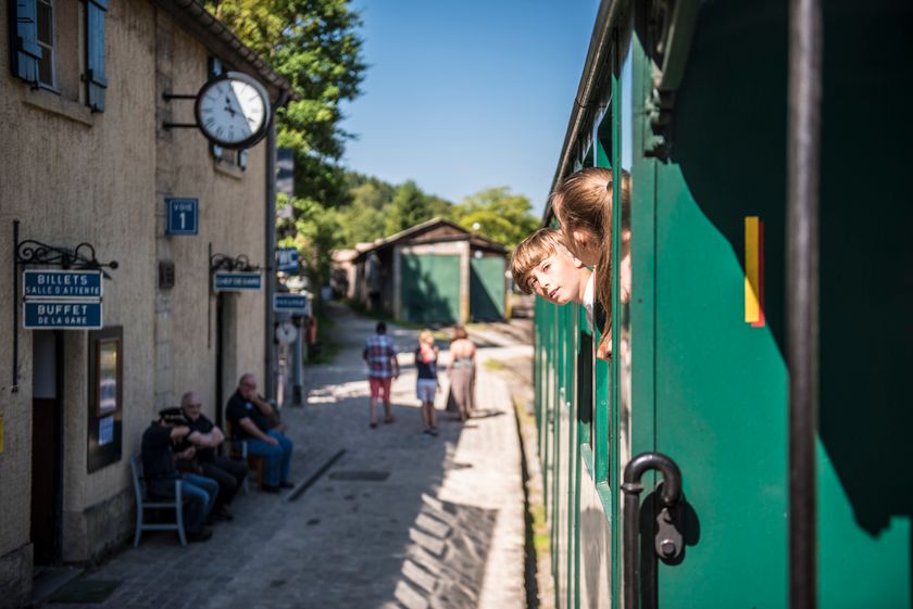
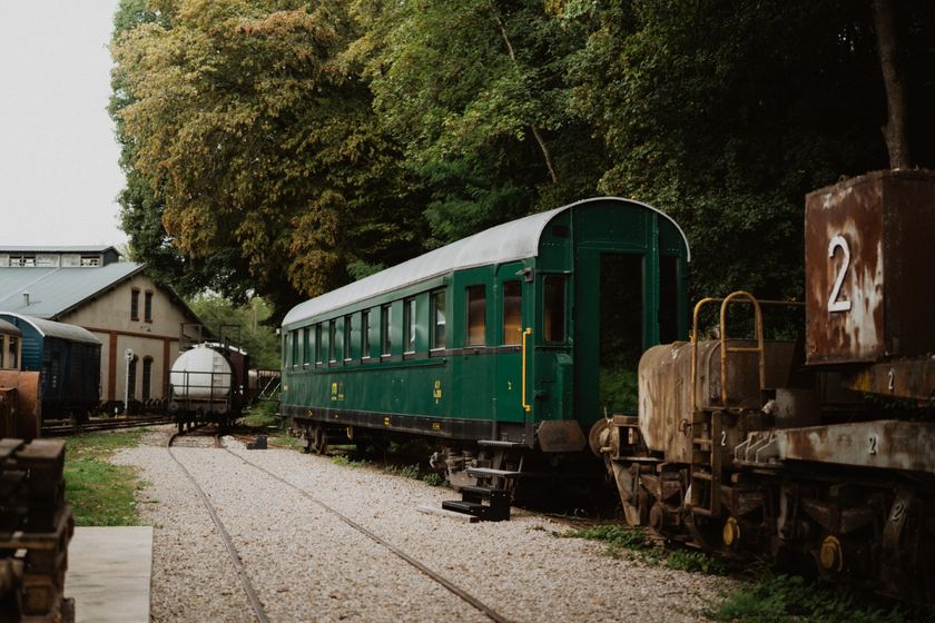
More information about the industrial past can be found at the "Minett Park Fond-de-Gras" close-by.
The Sentier des Mineurs is designed as a circular route. However, since the 24 km distance can be challenging, it's possible to split the trail into two shorter loops using a shortcut. This allows you to explore the Sentier des Mineurs at a more relaxed pace over two days.
Suggested itinerary:
Day 1 (18.5 km) Fond-de-Gras – Lasauvage – Differdange – Baggerweier (Niederkorn) – Fond-de-Gras
Day 2 (9.8 km) Fond-de-Gras – Baggerweier (Niederkorn) – Pétange – Lamadelaine – Fond-de-Gras
The connection between the two loops is via a section of the Minett Trail, which provides a direct route back to the starting point.
This shortcut is signposted at the relevant junctions between the Sentier des Mineurs and the Minett Trail. Information panels at the trail markers also indicate the alternative route.
This division makes it possible to perceive the scenic and cultural-historical features along the route more intensively, without having to cover the entire distance in one day.
Signposting

Directions
Please follow the white signposts with the red minecart
For your safety
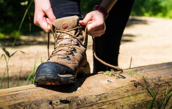
Think of sturdy shoes and weatherproof clothing
Equipment
Please bring enough food and drinking water for the tour
Journey
Bus line 6 runs regularly from Differdange to Minett Park Fond-de-Gras.
Parking:
You can park in the public car parks in front of the Minett Park, or at the Titelberg Parking further up the hill

 This website uses technology and content from the Outdooractive Platform.