Description
“Luxembourg Sandstone Rocks”
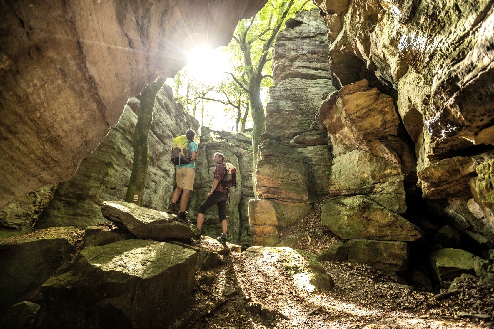
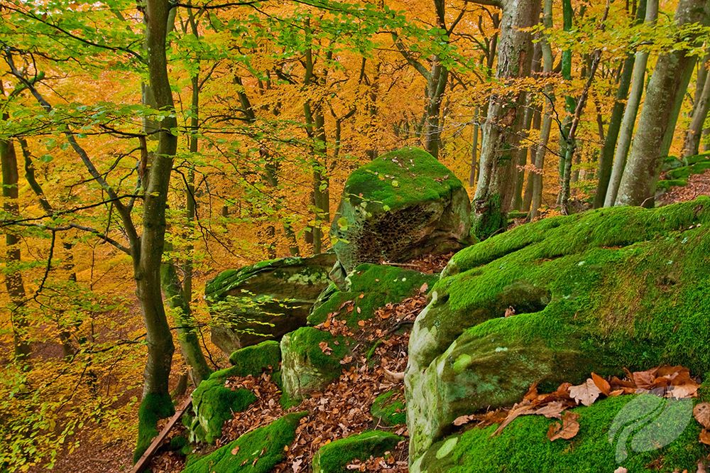
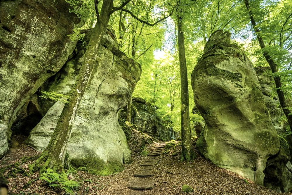
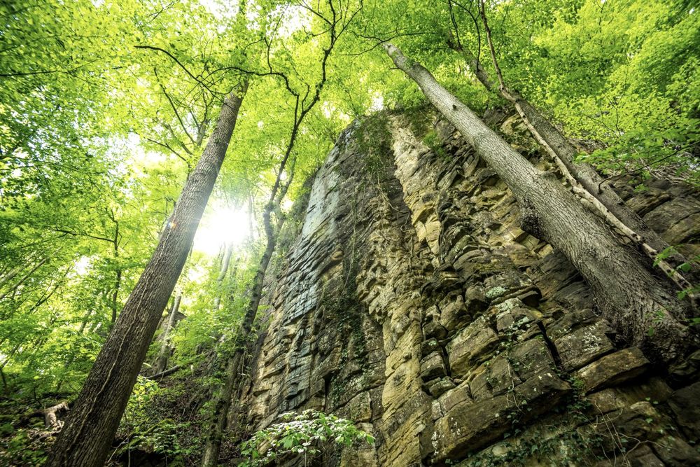
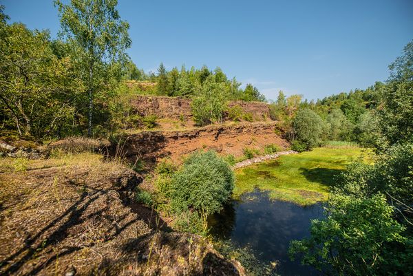
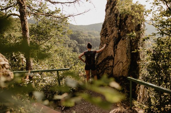
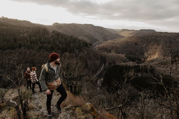
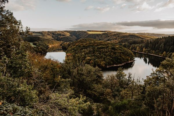
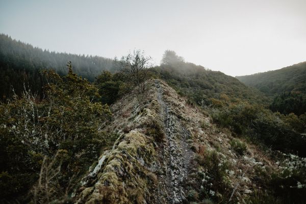
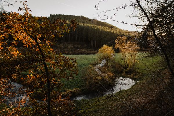
Three large landscape features are the main protagonists on this route: the Ferschweiler Plateau on the German side, the Luxembourg Berdorf Plateau, and the deeply incised Sauer valley. The composition of grand panoramas and picturesque rock formations creates the unmistakable charm of the route. The Martbusch Plateau offers many noteworthy geological features: crevices, rock hollows, caves, and rockslides.
Highlights along the way:
- Bizarre rock landscapes and spectacular rock worlds, such as Sieweschluff and rock labyrinth
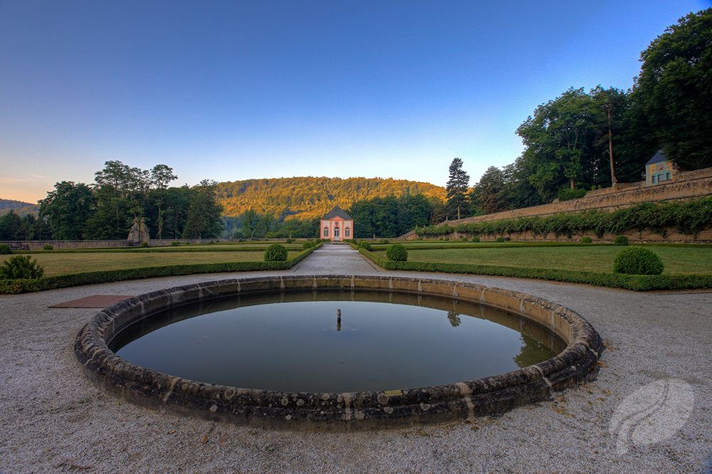
- Baroque Weilerbach Castle with picturesque park
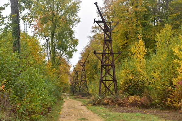
- Climbing rocks of the Wanterbach
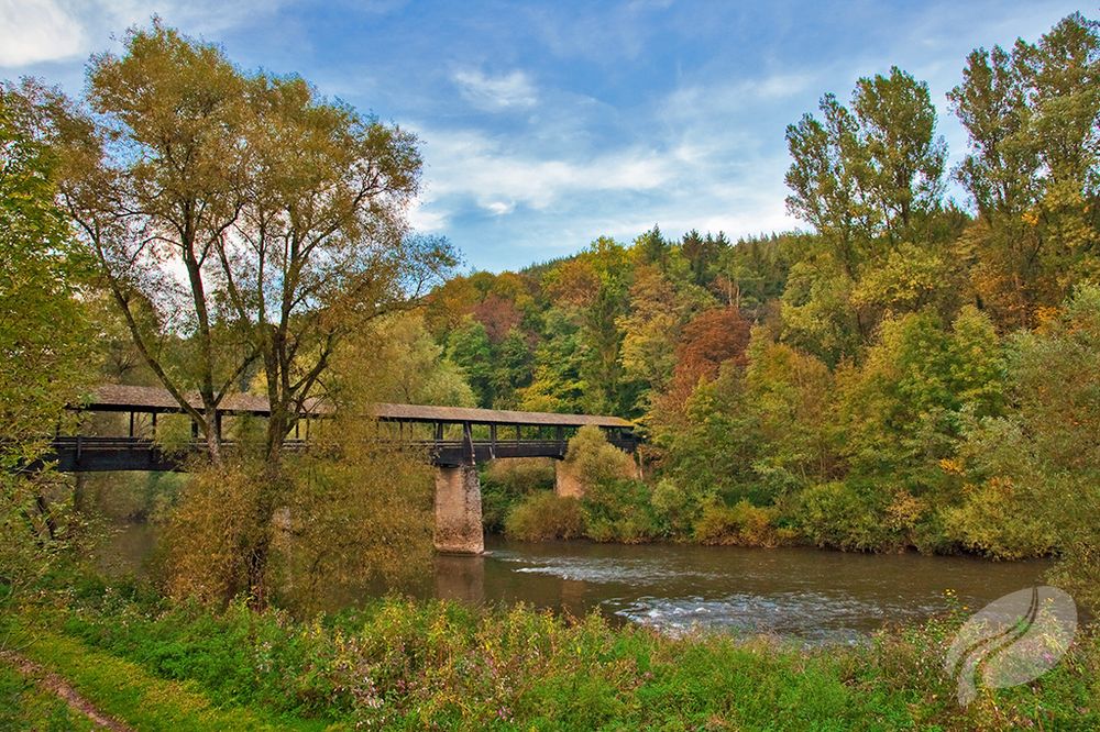
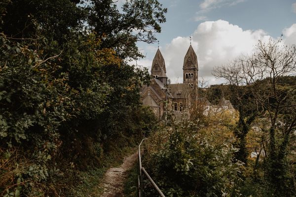
- Picturesque Bollendorf with Sauer basin
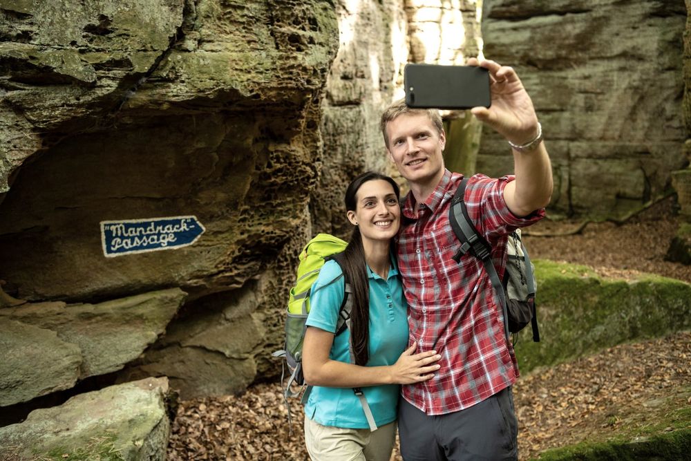
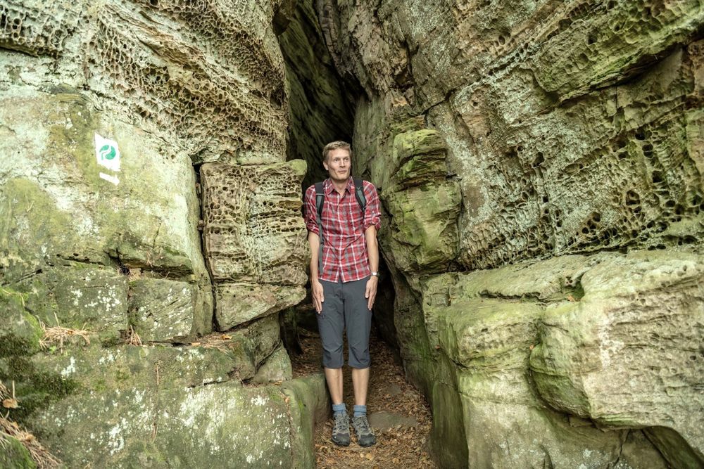
Note: A highlight of this route is the “Mandrack” passage (Manuel Andrack). The passage between the rocks of Kalekopp is only about 40 cm wide at shoulder height. It's best to decide before starting if you dare to pass through here. There is no detour for the passage, only forward or back, and we do not want anyone to get stuck. So best take off your backpack and pass sideways!
Hiker-friendly hosts
Planning an overnight stay? Whether hotel, private room, holiday apartment, or holiday home, the hosts of NaturWanderPark delux are especially committed to hikers.

Signposting

Directions
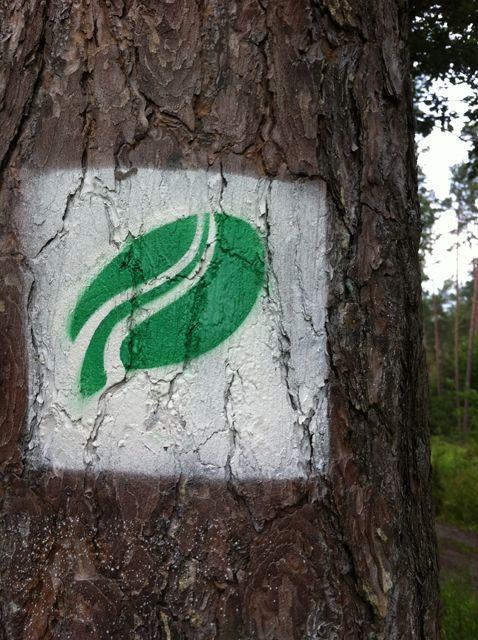
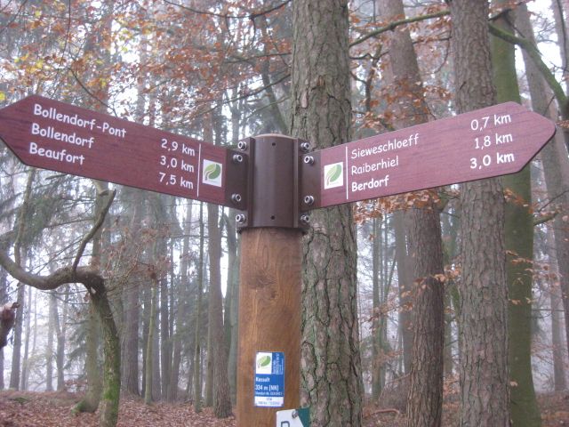
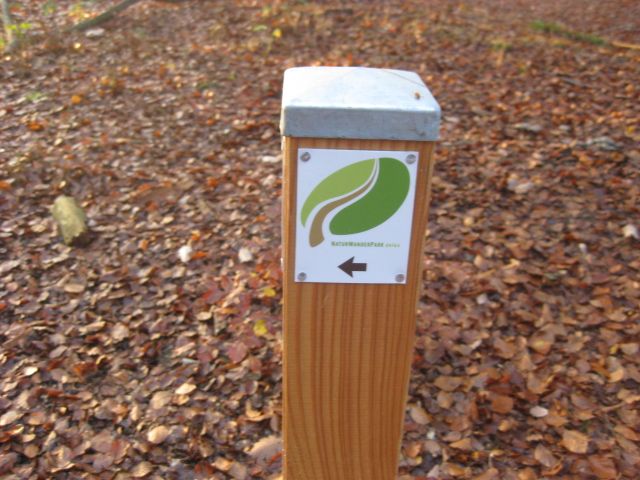
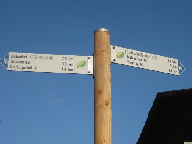
The premium route is sufficiently marked by NaturWanderPark delux signs.
For your safety
For your own safety, please always stay on marked paths and do not leave them.
The hike is challenging and takes time. From autumn onwards, make sure you do not start too late to avoid being caught in the dark. The rocky paths can be slippery especially in wet weather and in autumn.
Equipment
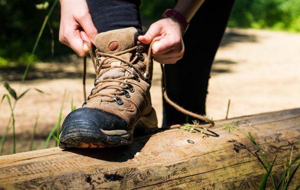
Sturdy footwear, weather-appropriate clothing, and packed food (especially water) are recommended.
Journey
Train: no direct train connection. The nearest stations are in Bitburg-Erdorf or L-Diekirch.
Bus: Rhein-Mosel-Bus (www.bahn.de, www.vrt-info.de)
Information on Luxembourg public transport: www.mobiliteitszentral.lu
We recommend for this route
a) arriving by car
b) if arriving by train, to contact local taxi companies (www.gelbeseiten.de or www.editus.lu).
Getting there:
Please use the navigation-capable start address in the parking section for inputting into your navigation device.
Or use the online route planner at the end of the stage description.
Parking:
The starting points of the routes are also hiking car parks.


 This website uses technology and content from the Outdooractive Platform.