Description
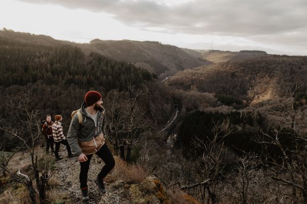
The Mullerthal Trail is supplemented by five other ExtraTours, which are also very attractive hiking trails. They are ideal for getting to know the region or as supplementary tours if you have already hiked the three Routes.
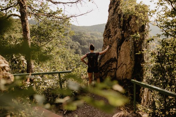
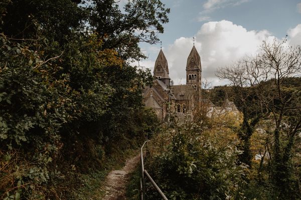
ExtraTour E starts in Fischbach at the car park on Rue du Moulin. The path first leads through the village, past a fountain. This is followed by a short climb that offers a beautiful view of the church and the castle.
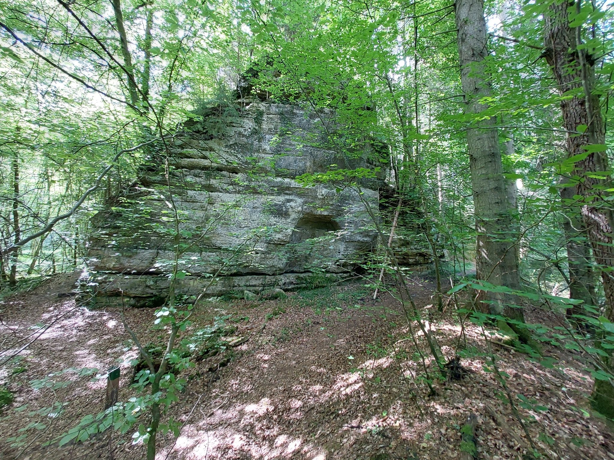
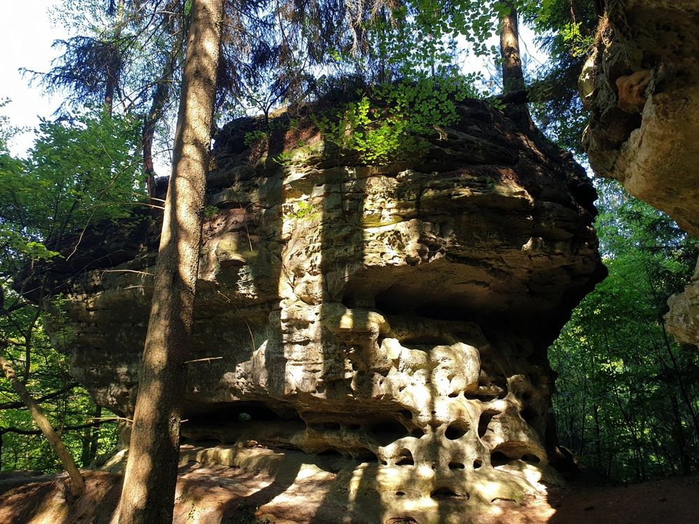
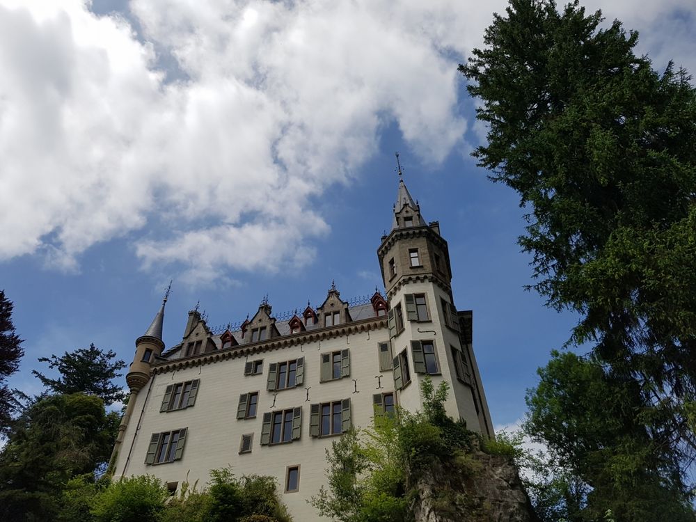
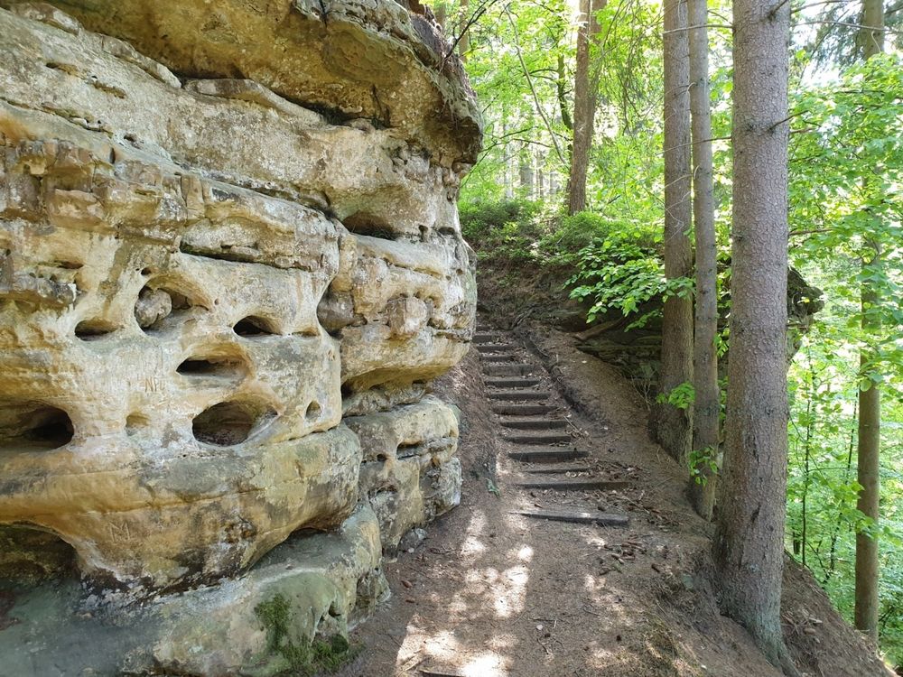
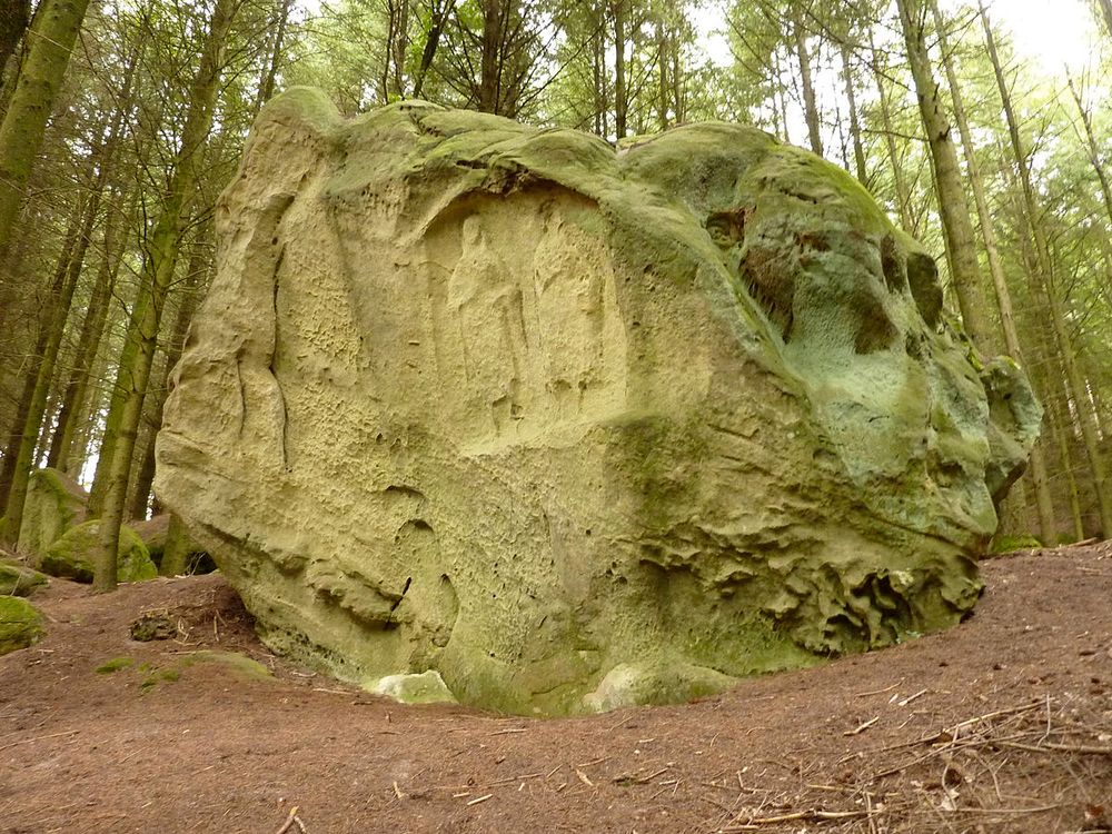
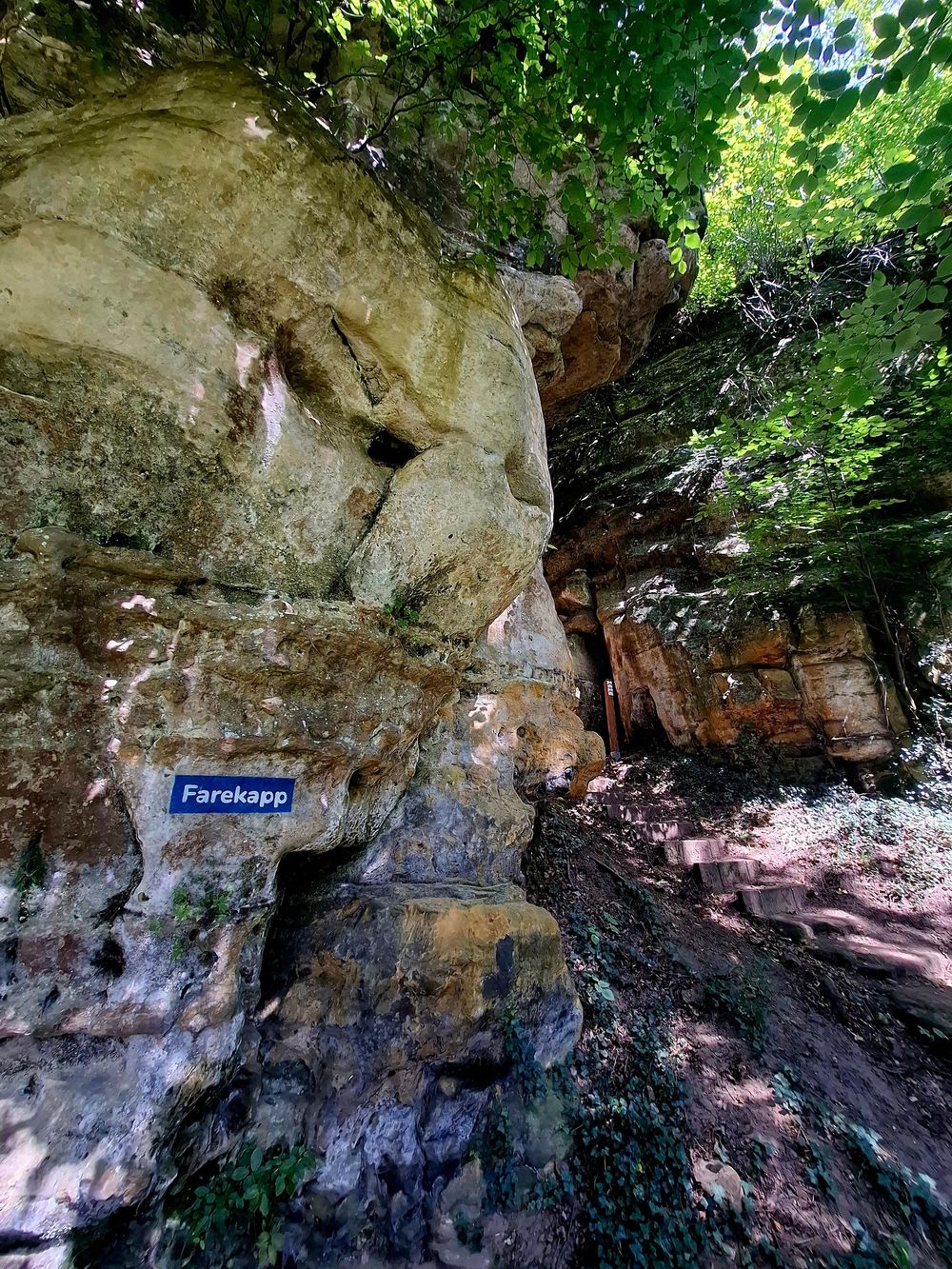
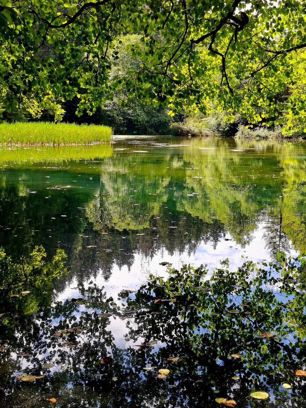
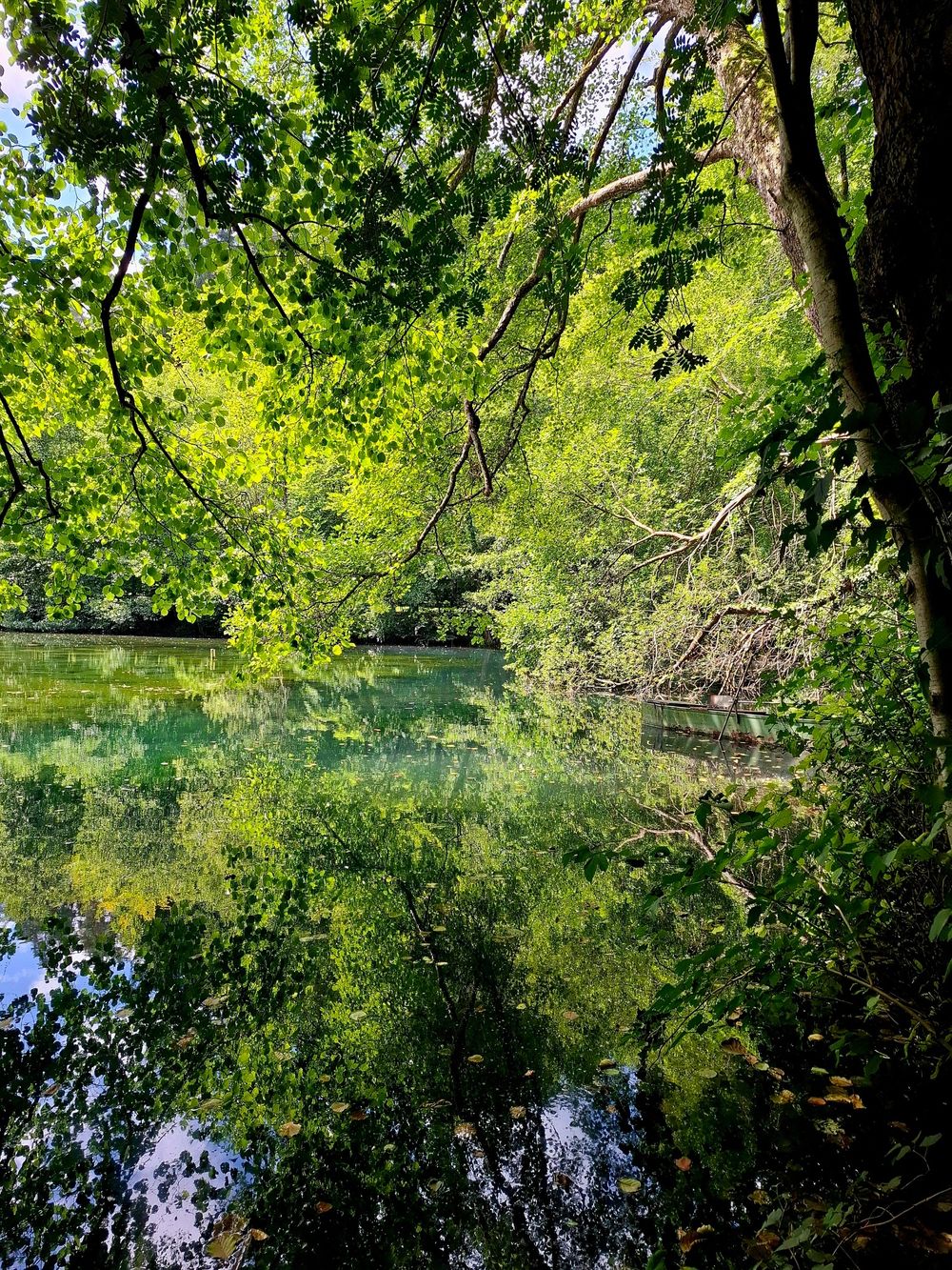
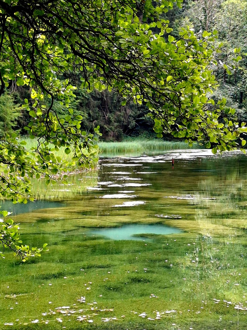
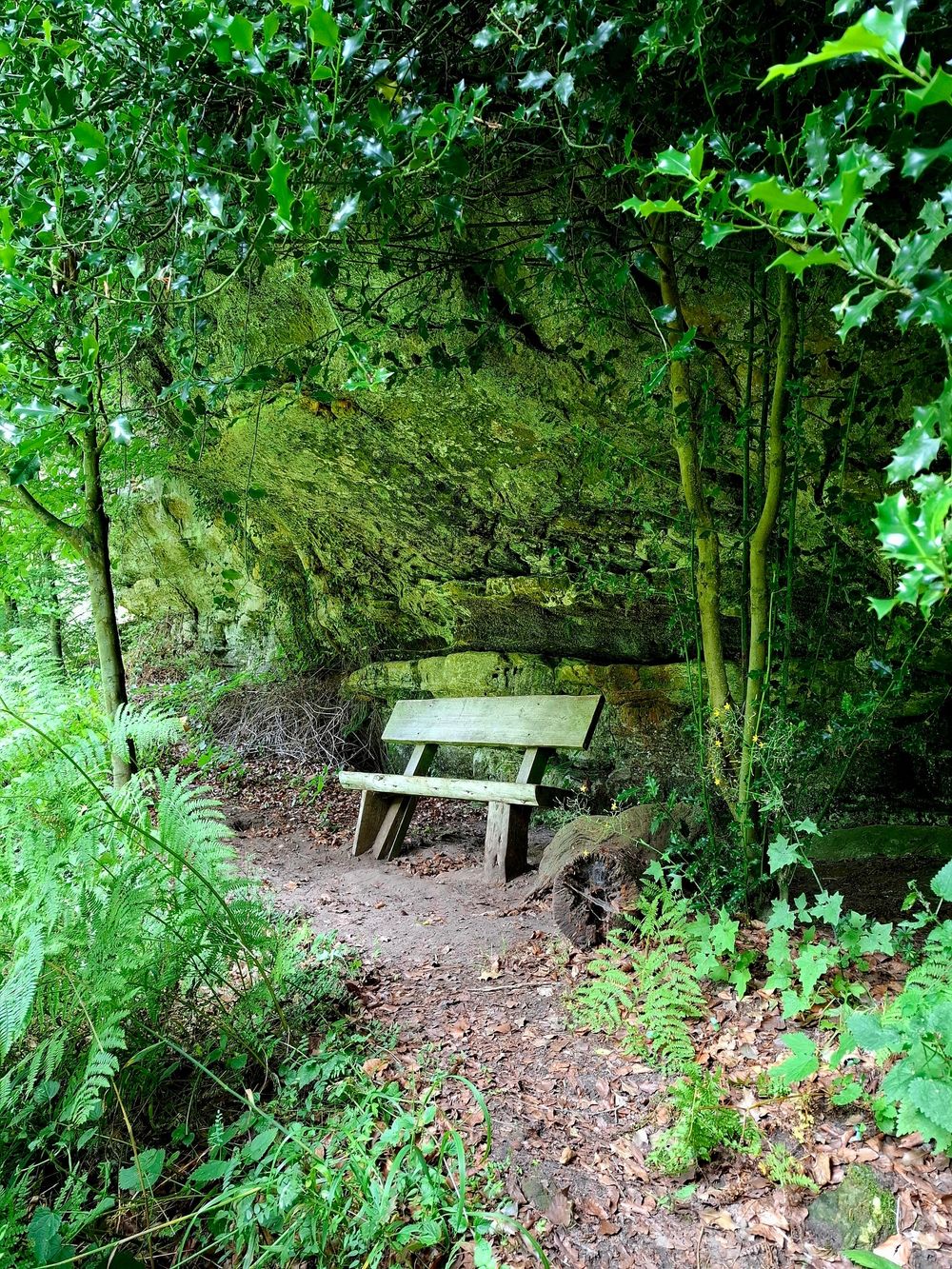
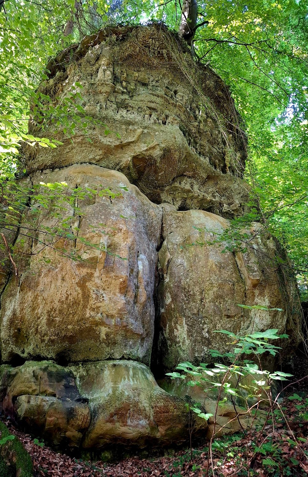
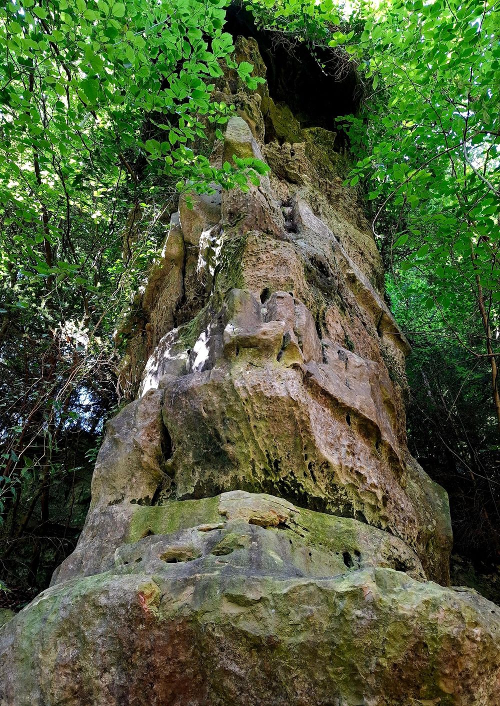
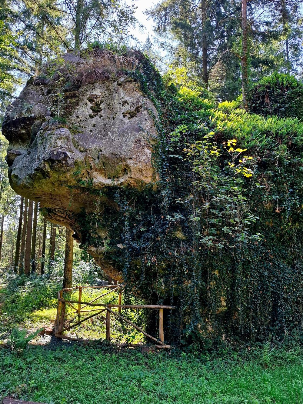
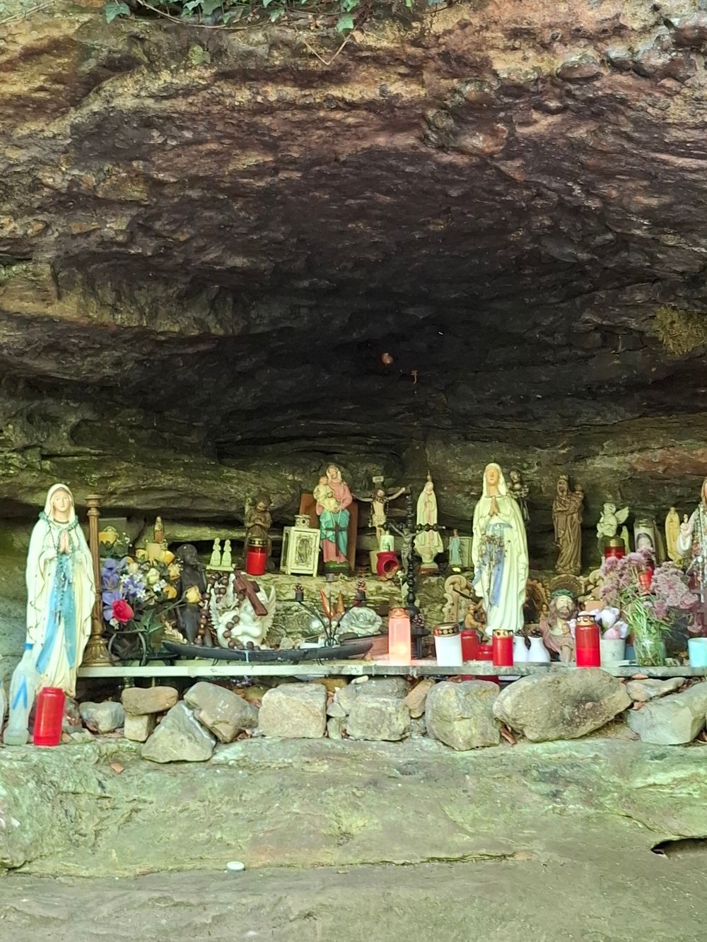
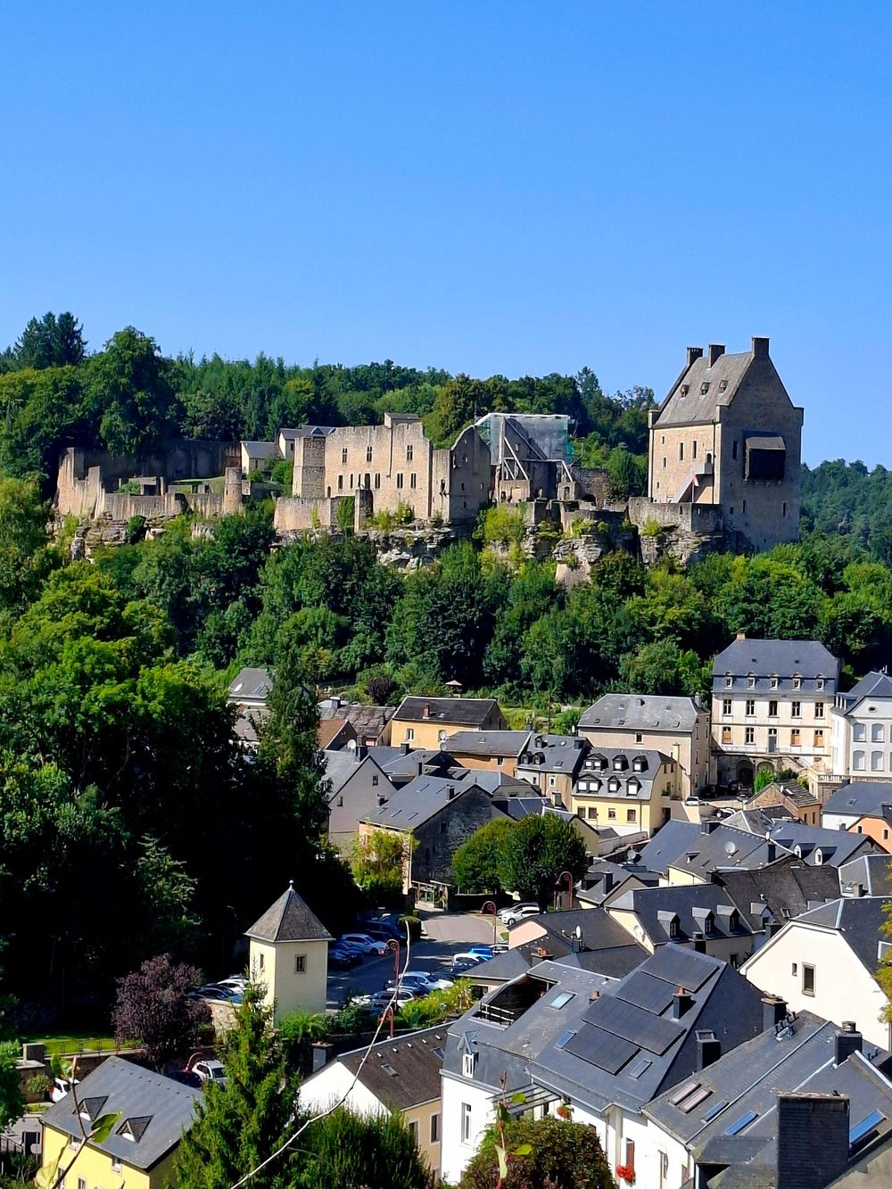
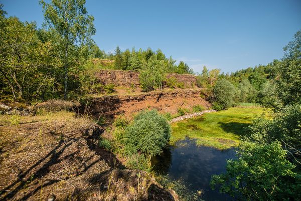
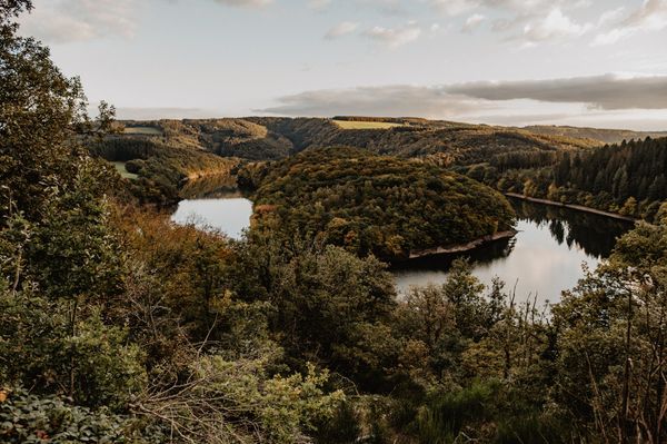
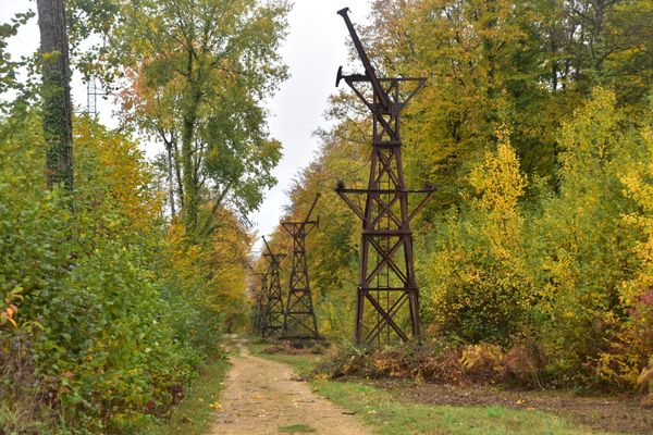
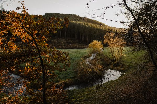
You walk past the ‘Al Schmëlz’ geosite to the Napoleonshut rock formation, then along a dirt track to Koedange and cross the Kéidenger Brill – “Soup”, a nature reserve. From there, the route climbs uphill again through the forest, along the Häertcheslee, where you can see grinding the traces. The path runs across an open field landscape on Mullerthal Trail Route 3 towards ‘Soup’ . Continue along Mullerthal Trail Route 3 to Larochette. The trail leads along the Manzebaach to Meysembourg Castle, where you can take a break. You walk uphill, past the church of Meysembourg, then back into the forest. Downhill you go back to Fischbach.
Possible Starting Points: Fischbach: Rue du Moulin / Heffingen: Soup /Larochette: Place Bleech
Equipment
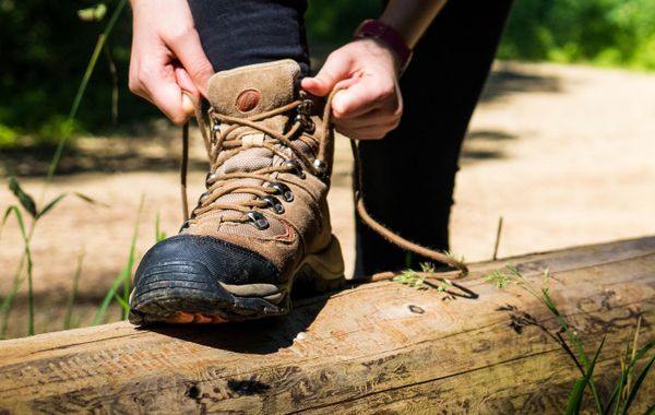
Sturdy shoes recommended, especially in wet weather.
Journey
Nearest bus stop: Fischbach, Beim Schlass
Heffingen, Soup
Larochette, Spuerkees ou Bleech
Parking:
Nearest car park: Fischbach, Rue du Moulin
Heffingen, Soup
Larochette, Schongfabrik


 This website uses technology and content from the Outdooractive Platform.