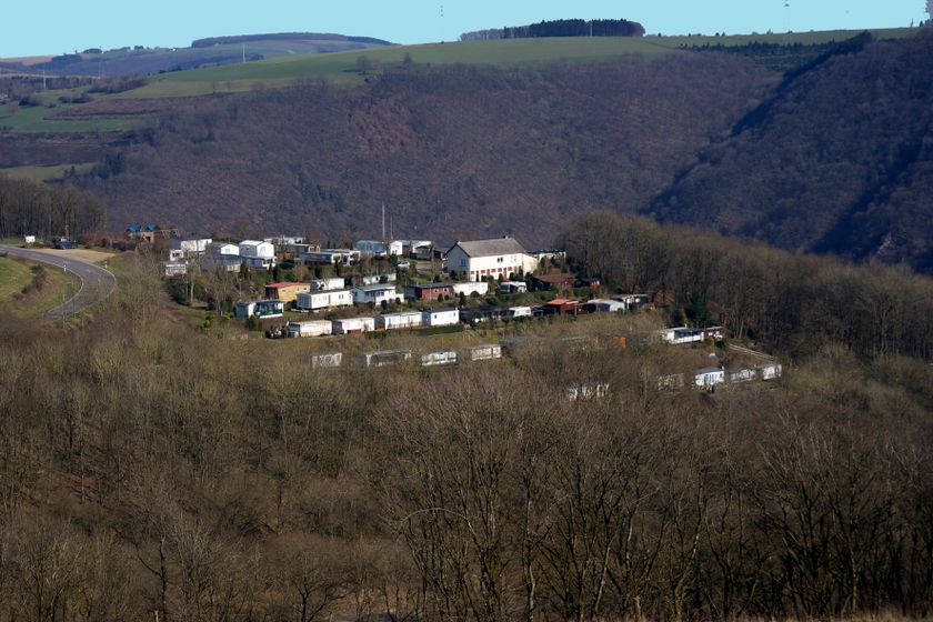
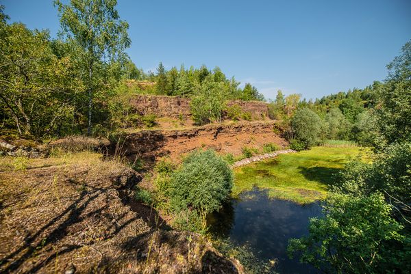
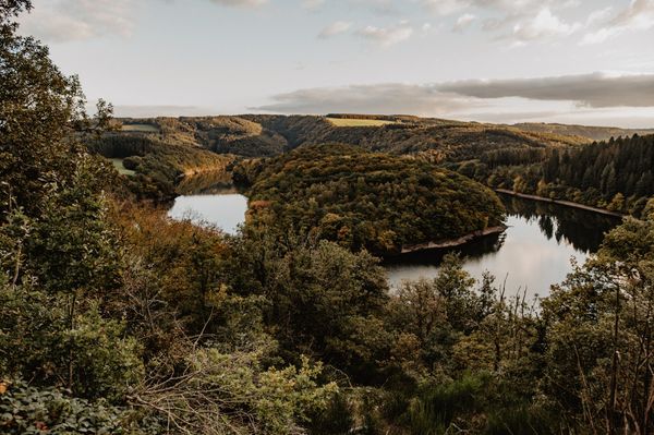
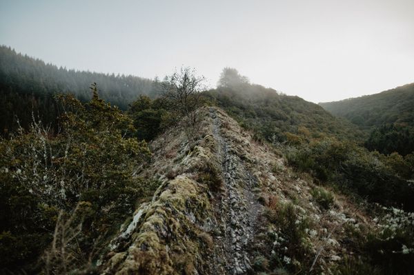
Description
Past the Finger of God
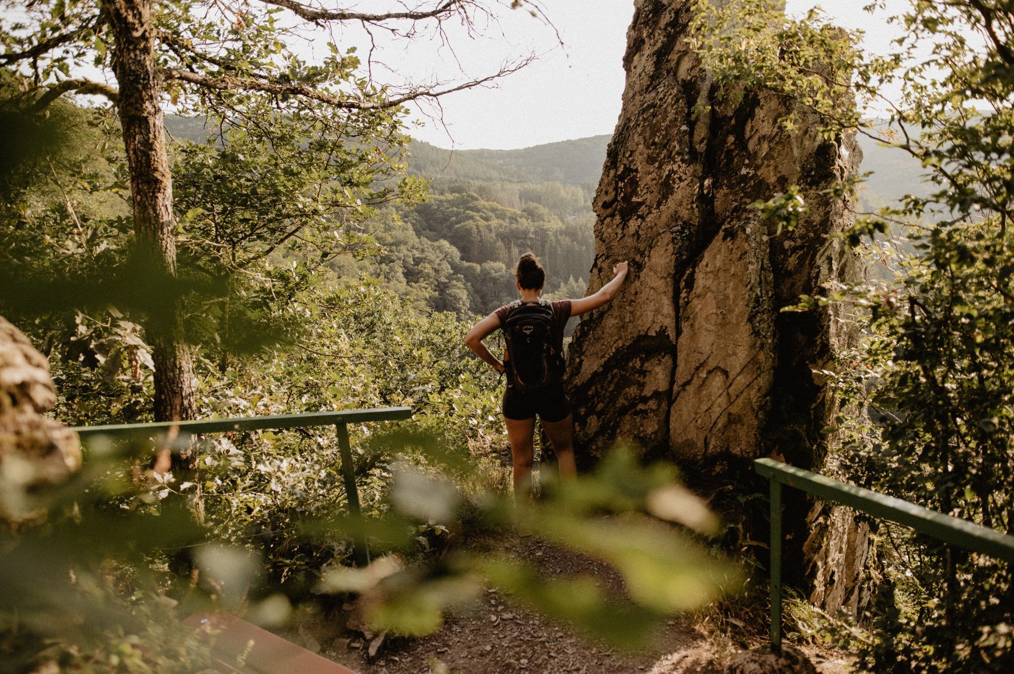
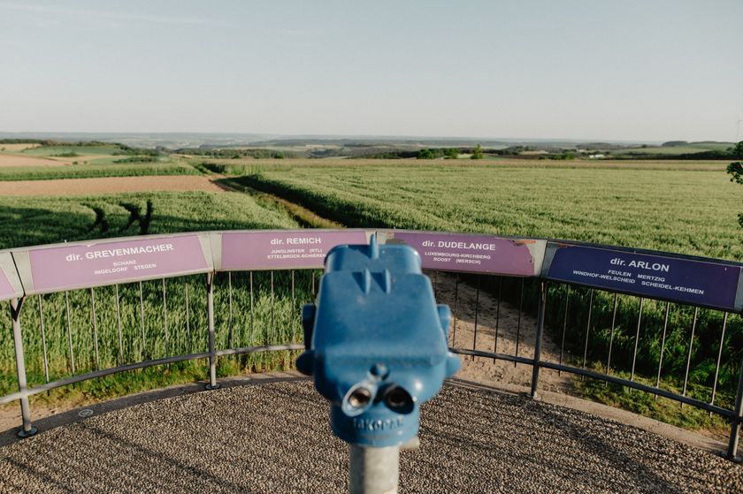
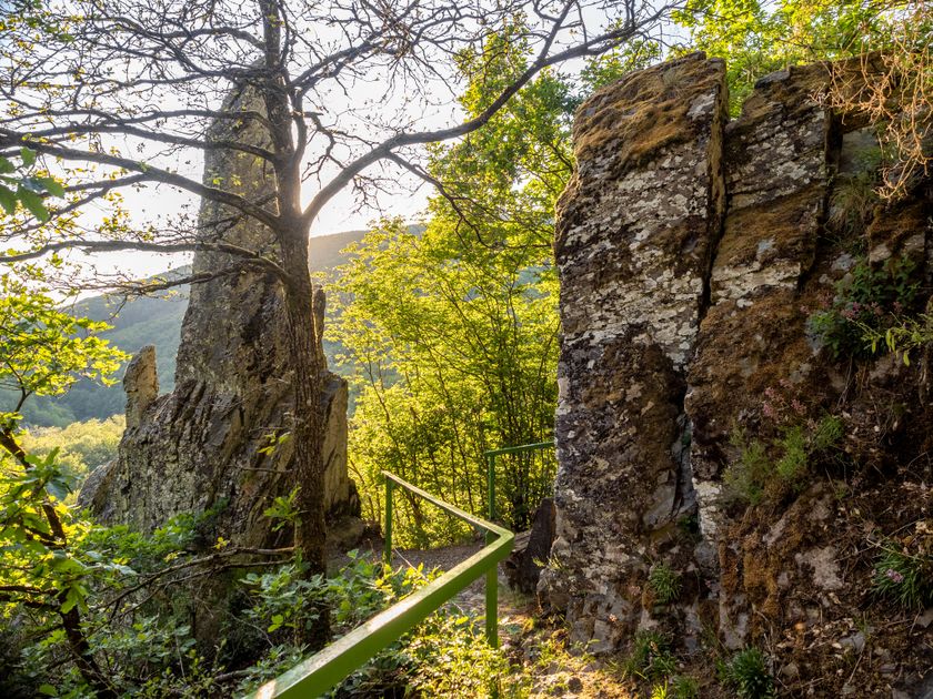
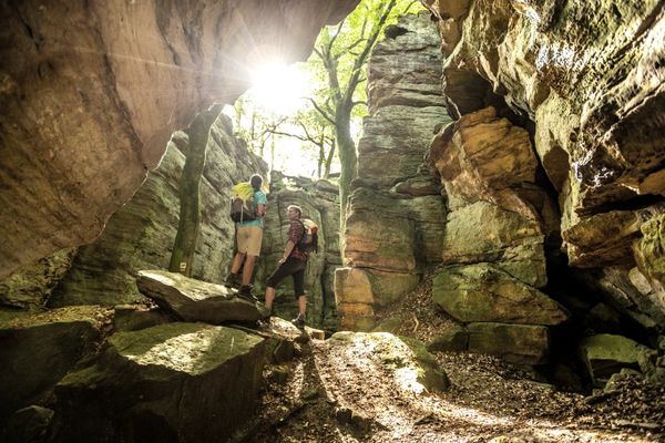
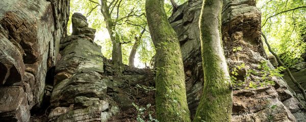
On this route you will encounter two special monuments. At Napoléonsknäppchen, an oak tree rises in honor of Napoleon's son and a viewing platform presents you the plateau. Doigt de Dieu means Finger of God in German. This natural, stone monument may not show you the right way, but marks a magnificent view.
Signposting
Directions
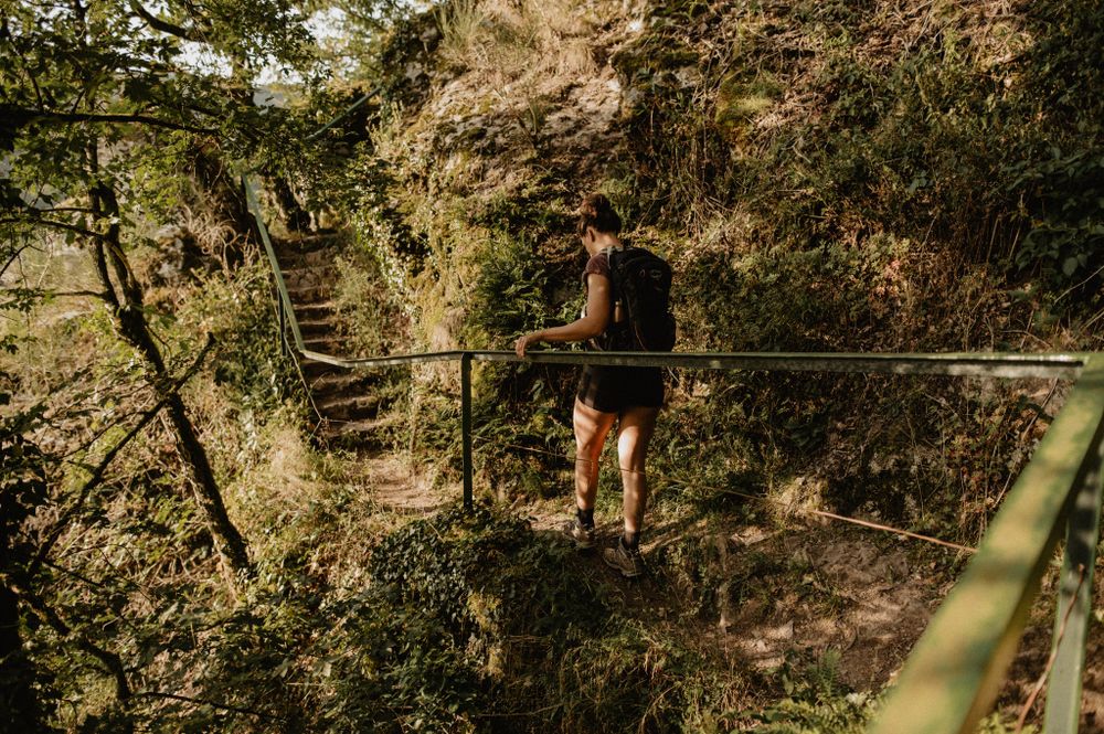
The hiking trail is marked in both directions. Please follow the Éislek marking sign.
For your safety
Weather conditions such as wetness, ice, and wind can make a route difficult. The information refers to optimal conditions.
Equipment
Sturdy footwear and something to drink.
Journey
Use the free public transport and travel climate-friendly by bus and train.
Nearest bus stop: "Bei der Kiirch"
www.mobiliteit.lu
Parking:
A parking lot is located directly at the starting point.


 This website uses technology and content from the Outdooractive Platform.