Description
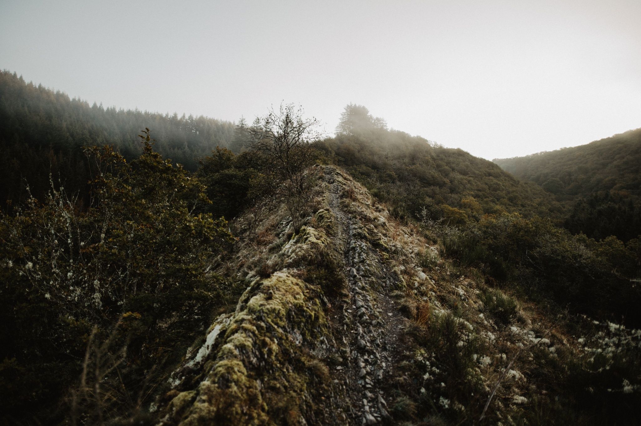
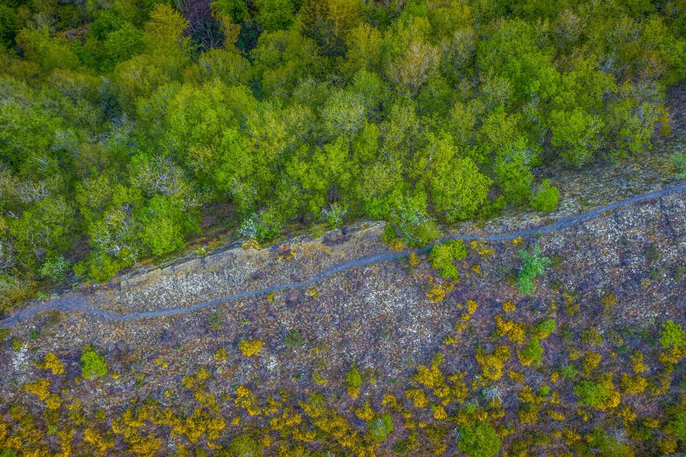
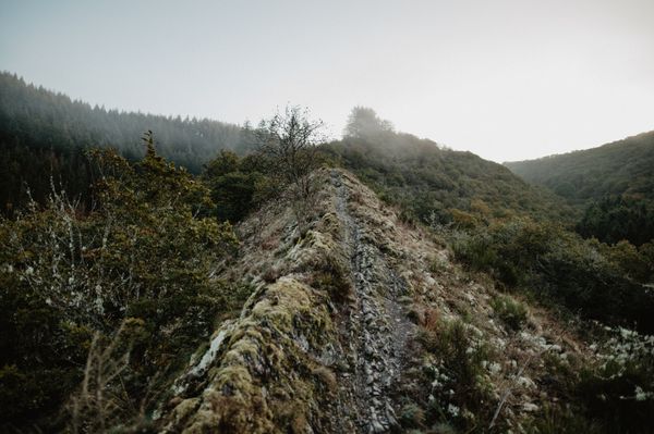
Along the narrow ridge
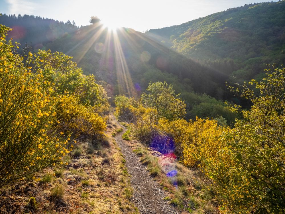
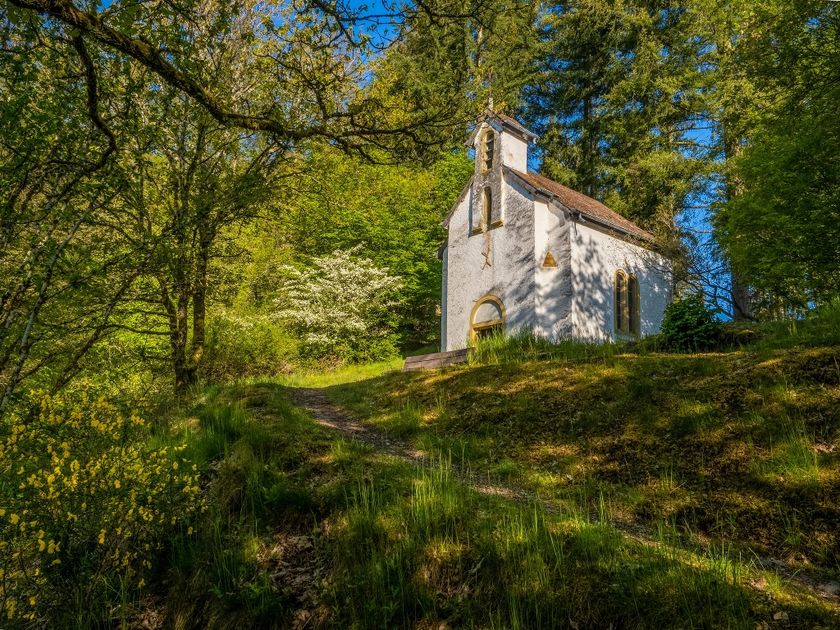
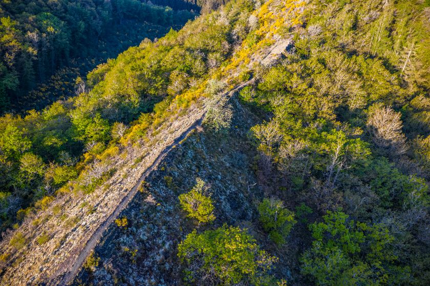
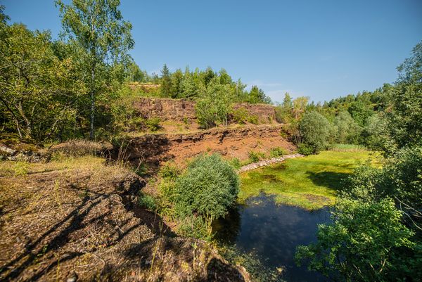
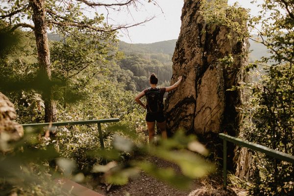
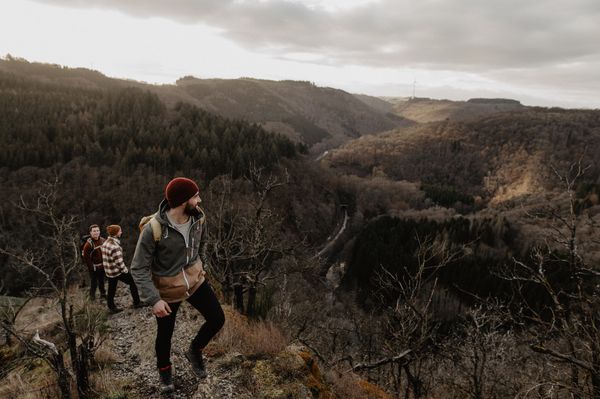
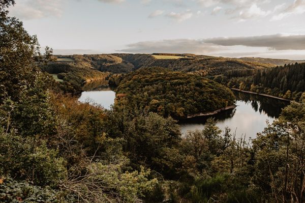
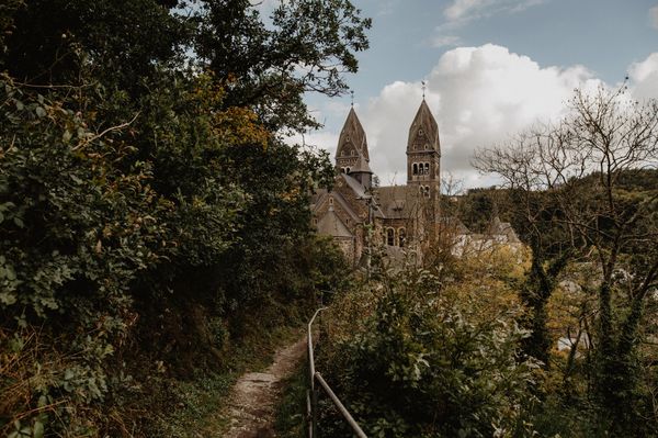
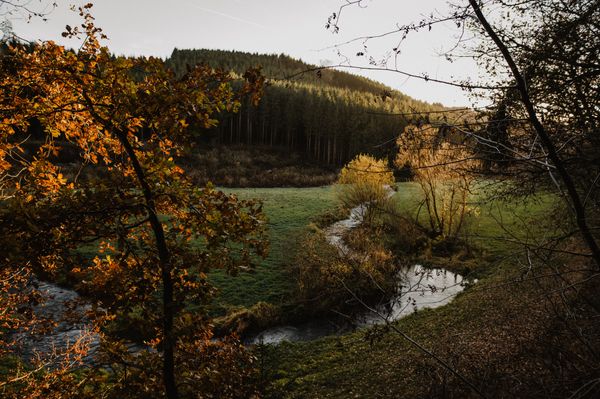
This path goes through the Schlindertal, where a "fabulous" fox is said to have caused mischief. A small detour takes you to its monument. The Chapel of Saint-Michel stands all alone with its mystical aura and is pleased to welcome your visit. The highlight of the route is the Molberlee, an exposed jagged slate ridge with a great view of the valley.
Signposting

Directions
The hiking trail is marked in both directions. Please follow the Éislek marking sign.
For your safety
Weather conditions such as wetness, ice, and wind can make a route more difficult. The information refers to optimal conditions.
Equipment
Sturdy footwear and something to drink.
Journey
Use the free public transport and travel climate-friendly by bus and train.
Nearest bus stop (70 m): "Kräizgaass"
www.mobiliteit.lu
Parking:
A parking lot is located directly at the starting point.


 This website uses technology and content from the Outdooractive Platform.