© Visit Éislek, Visit Éislek
Éislek Germany France

Local hiking trail PH 2 - Hoscheid

Starting point
Hoscheid
Destination
Hoscheid
Distance
7,07 km
Duration
2:15 h
Difficulty
medium
  • Condition
Highest point
494 Hm
Lowest point
284 Hm
Aggregated Ascent
260 Hm
Aggregated Descent
260 Hm
Circular routes Visit Luxembourg

Description

Scenic
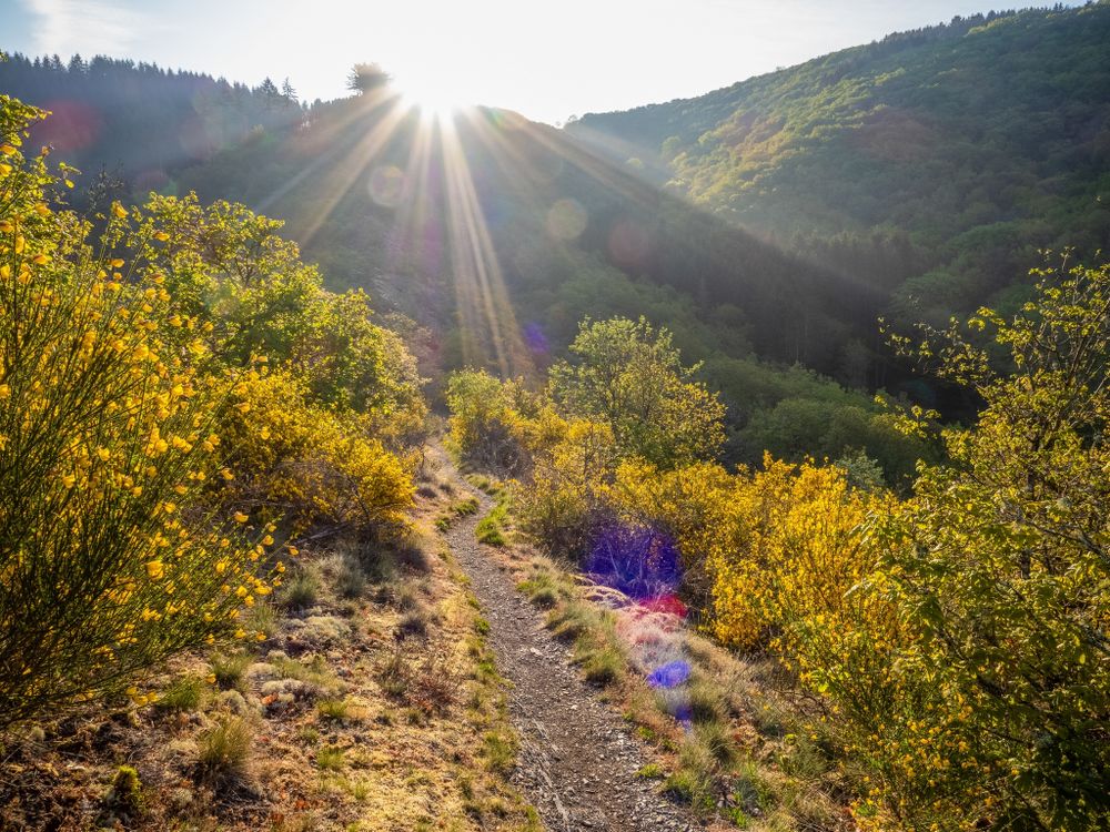
From the leisurely afternoon round to the challenging hiking tour, everything is included in the Local Hiking Trails.

The local hiking trails are marked with the abbreviations of the municipality where they start. The larger the number that the marker symbol contains, the longer the circular hiking trail. See for yourself the variety of local hiking trails and the different features in the Éislek region.

Suggestions nearby

Local hiking trail PH 2 - Hoscheid

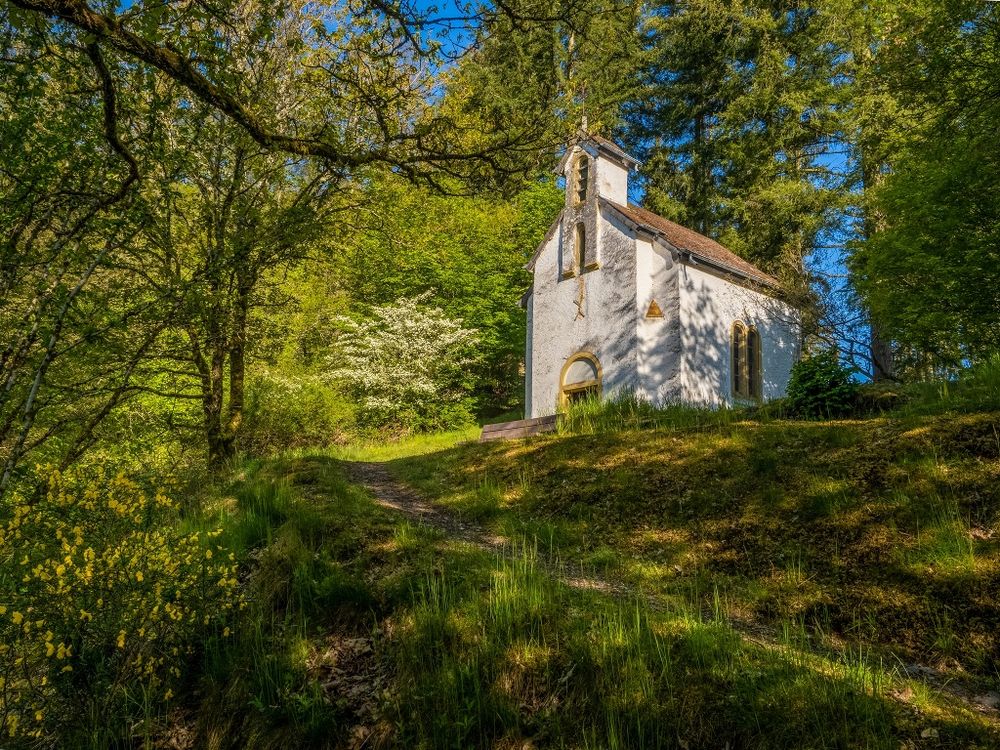
  • Saint-Michel Chapel
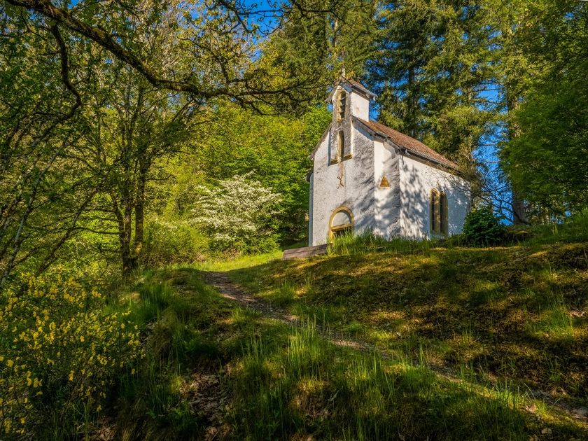
    The Saint-Michel Chapel towers high above Oberschlinder, surrounded by forest and accessible via hiking trails.
    Find out more
  • © Visit Éislek
    Molberlee
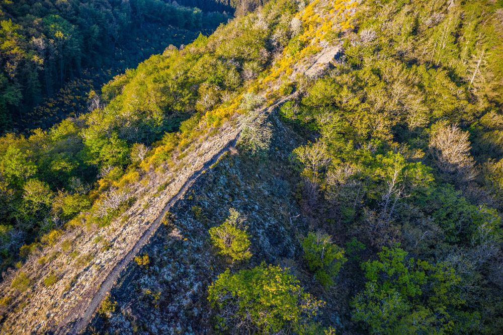
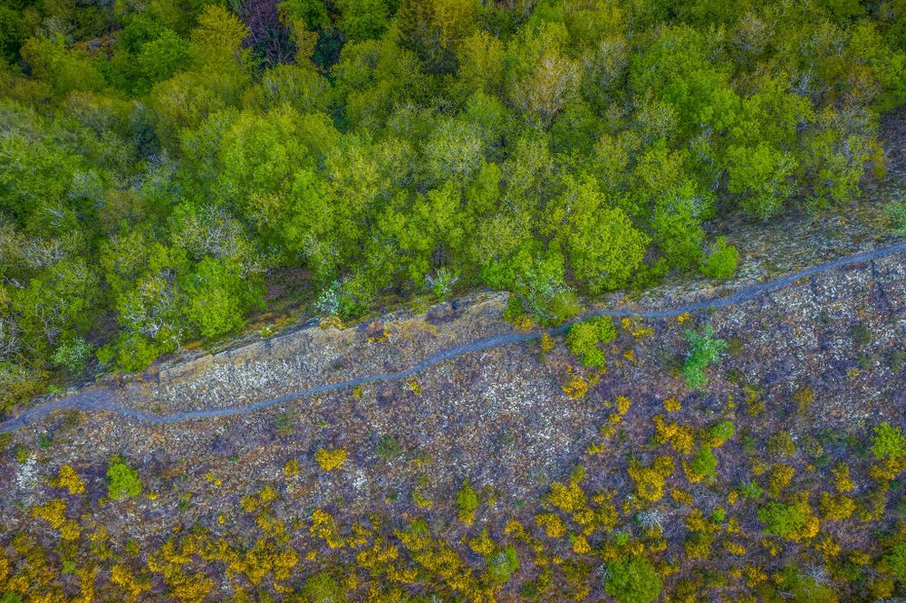
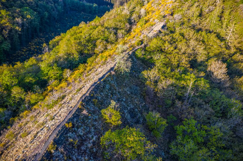
    The Molberlee near Hoscheid is an impressive mountain ridge that offers a breathtaking view of the Schlinder valley. The Molberlee is known for its unique biodiversity and has been designated a forest reserve and natural monument.
    Find out more

Similar hiking tours

© Visit Luxembourg
Circular routes
Local hiking trail - L2
Distance: 8,54 km
Duration: 2:30 h
Difficulty: medium
Find out more
© Visit Luxembourg
Circular routes
Local hiking trail - E8
Distance: 6,26 km
Duration: 1:40 h
Difficulty: medium
Find out more
© ORT MPSL , Visit Luxembourg
Circular routes
Local hiking trail - B1
Distance: 10,58 km
Duration: 3:05 h
Difficulty: medium
Find out more
© Pulsa Pictures, ORT SUD
Circular routes
Discovery trail "Prënzebierg - Giele Botter"
Distance: 7,65 km
Duration: 2:15 h
Difficulty: medium
Find out more
© Visit Luxembourg
Circular routes
Local hiking trail - W1
Distance: 6,81 km
Duration: 1:47 h
Difficulty: medium
Find out more
© ORT Sud
Circular routes
Auto-pédestre trail Lamadelaine
Distance: 8,36 km
Duration: 2:25 h
Difficulty: medium
Find out more
© Pulsa Pictures, ORT SUD
Minett Trail
Minett Trail: Esch-sur-Alzette Gare - Tétange Gare
Distance: 11,95 km
Duration: 3:25 h
Difficulty: medium
Find out more
© Pulsa Pictures, Pulsa Pictures_ORT SUD
Minett Trail
Minett Trail: Rumelange Gare - Dudelange Gare
Distance: 10,77 km
Duration: 3:00 h
Difficulty: medium
Find out more
© Pulsa Pictures, ORT SUD
Minett Trail
Minett Trail: Bergem/Beim Nëssert - Gare Bettembourg
Distance: 11,69 km
Duration: 3:05 h
Difficulty: medium
Find out more