©Lynn Schüssler, Visit Luxembourg
Éislek Germany France

Éislek Pad Heinerscheid

Hunting Season 2025/26 — Check for hunts

Autumn is here, and that means hunting season has begun! From mid-October to January/February, hunters are active across the country. Stay safe by checking hunt dates in your area on our Map. 

Click on Map in the Header > Services > More > Hunting.

Starting point

Parking lot at the town exit, Hepperdangerstrooss, Heinerscheid

Destination

Parking lot at the town exit, Hepperdangerstrooss, Heinerscheid

Distance
15,84 km
Duration
4:50 h
Difficulty
medium
  • Condition
Highest point
528 Hm
Lowest point
283 Hm
Aggregated Ascent
370 Hm
Aggregated Descent
370 Hm
Éislek Pied Visit Luxembourg

Description

Kids & Family Scenic Refreshment stops available

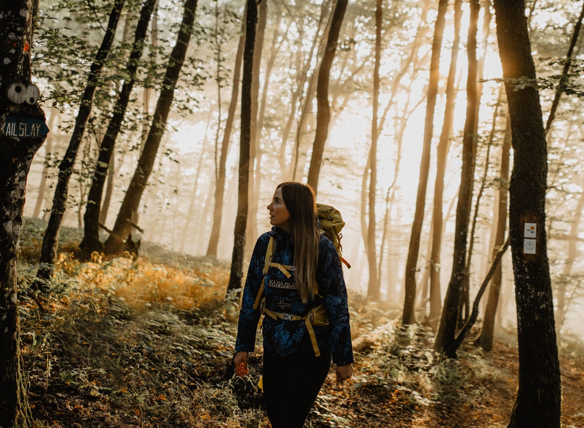
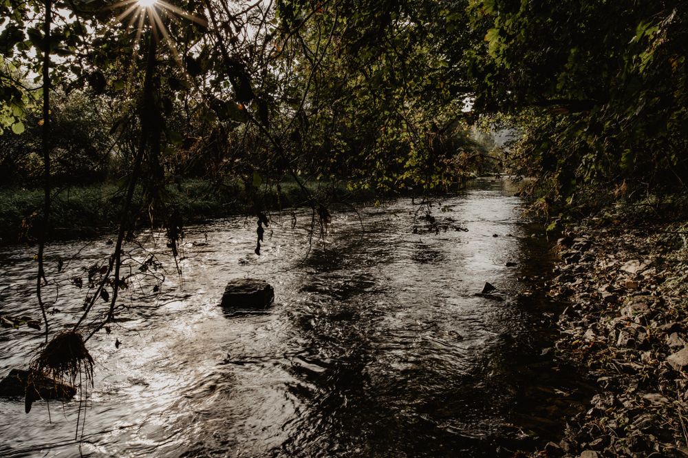
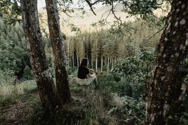
Down into the deep valley 
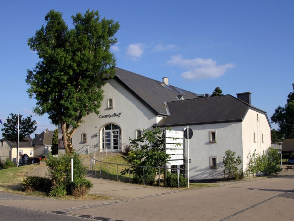
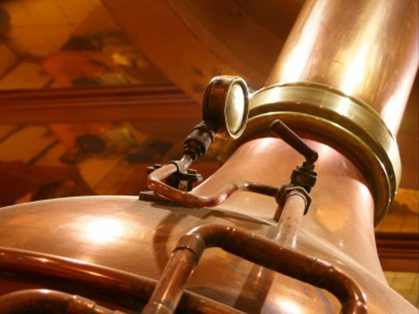
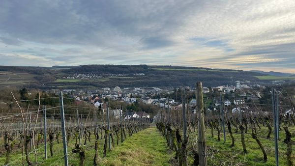
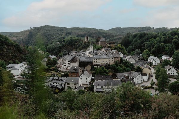
Your path begins up in Heinerscheid. There you can briefly pause at the monument of the 6th Armored Division . Then you proceed slowly, step by step, down into the valley of the Our. Before you fully descend, you go over a steep rocky ridge, the Kasselslee. From there you take a first look at the river that accompanies you on your further way. The ascent to the viewpoint Kailslee finally leads you back out of the valley.

Suggestions nearby

Éislek Pad Heinerscheid

  • ©Cornelyshaff
    Hotel and Restaurant Cornelyshaff
    Pets allowedGarden / ParkParkingSituated in the centre of townWifiRestaurantBicycle rental
  • ©Hotel - Restaurant Reiff
    Restaurant Reiff
    Modern restaurant in Fischbach with regional cuisine, panoramic terrace and wines from Luxembourg and France.
    Find out more
  • ©Camping Tintesmühle
    Camping Tintesmühle
    Pets allowedWifi
  • Ourdall Brewery
    Ourdall Brewery
    Find out more

Similar hiking tours

©Visit Luxembourg
Circular routes
Auto-Pédestre hiking route Heiderscheid
Distance: 7,97 km
Duration: 2:25 h
Difficulty: medium
Find out more
©Visit Luxembourg
Circular routes
Auto-Pédestre hiking route Roder
Distance: 7,64 km
Duration: 2:30 h
Difficulty: medium
Find out more
©Visit Luxembourg
Circular routes
Auto-Pédestre trail Holtz
Distance: 8,92 km
Duration: 2:30 h
Difficulty: medium
Find out more
©Visit Luxembourg
Circular routes
Auto-Pédestre hiking route Arsdorf
Distance: 11,05 km
Duration: 3:10 h
Difficulty: medium
Find out more
©Visit Luxembourg
Circular routes
Auto-Pédestre route Goesdorf
Distance: 6,87 km
Duration: 2:10 h
Difficulty: medium
Find out more
©Visit Luxembourg
Circular routes
Auto-Pédestre hiking route Wilwerwiltz
Distance: 9,65 km
Duration: 2:50 h
Difficulty: medium
Find out more
©Visit Luxembourg
Circular routes
Auto-Pédestre Hiking Trail Consthum
Distance: 7,72 km
Duration: 2:15 h
Difficulty: medium
Find out more
©Visit Luxembourg
Circular routes
Auto-Pédestre trail Gralingen
Distance: 9,47 km
Duration: 2:50 h
Difficulty: medium
Find out more
©Visit Luxembourg
Circular routes
Auto-Pédestre hiking trail Binsfeld
Distance: 8,68 km
Duration: 2:30 h
Difficulty: medium
Find out more
outdooractive This website uses technology and content from the Outdooractive Platform.