Circular routes Visit Éislek
Description
The Auto-Pédestre Heiderscheid runs to the Sauer valley, to Heiderscheidergrund.
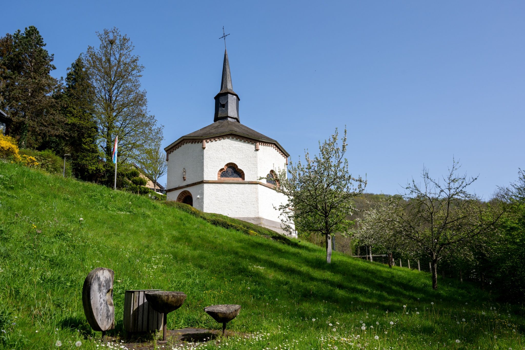
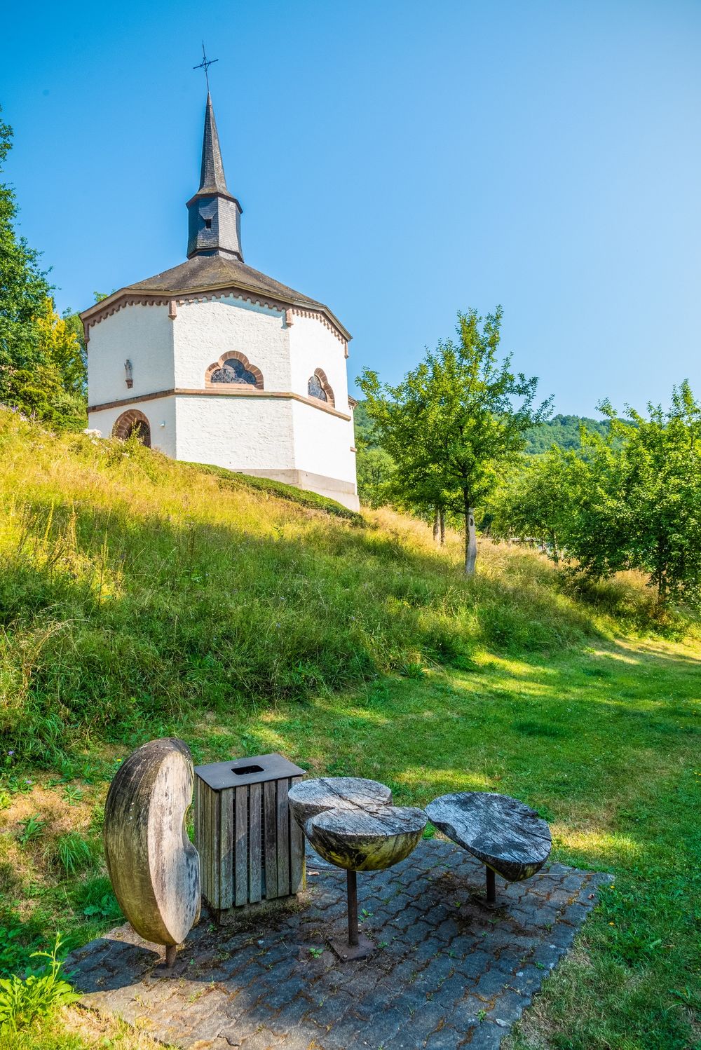
The Auto-Pédestre Heiderscheid first runs downhill, towards the Sauer valley. There, the path follows the river to the Saint Cunigunde Chapel. This building, erected in 1850, is unique nationwide due to its octagonal shape. Because of this shape, the chapel is also called the “Inkwell.”
Then the hiking route follows the Heesbech to the small village of Heiderscheidergrund.
After an approximately 3-kilometer-long ascent, you return to your starting point, the cultural center in Heiderscheid.
Signposting
For your safety
Weather conditions such as wetness, ice, and wind can make a route more difficult. The information refers to optimal conditions.
Equipment
Sturdy footwear and something to drink.
Journey
Public transport:


 This website uses technology and content from the Outdooractive Platform.