Description
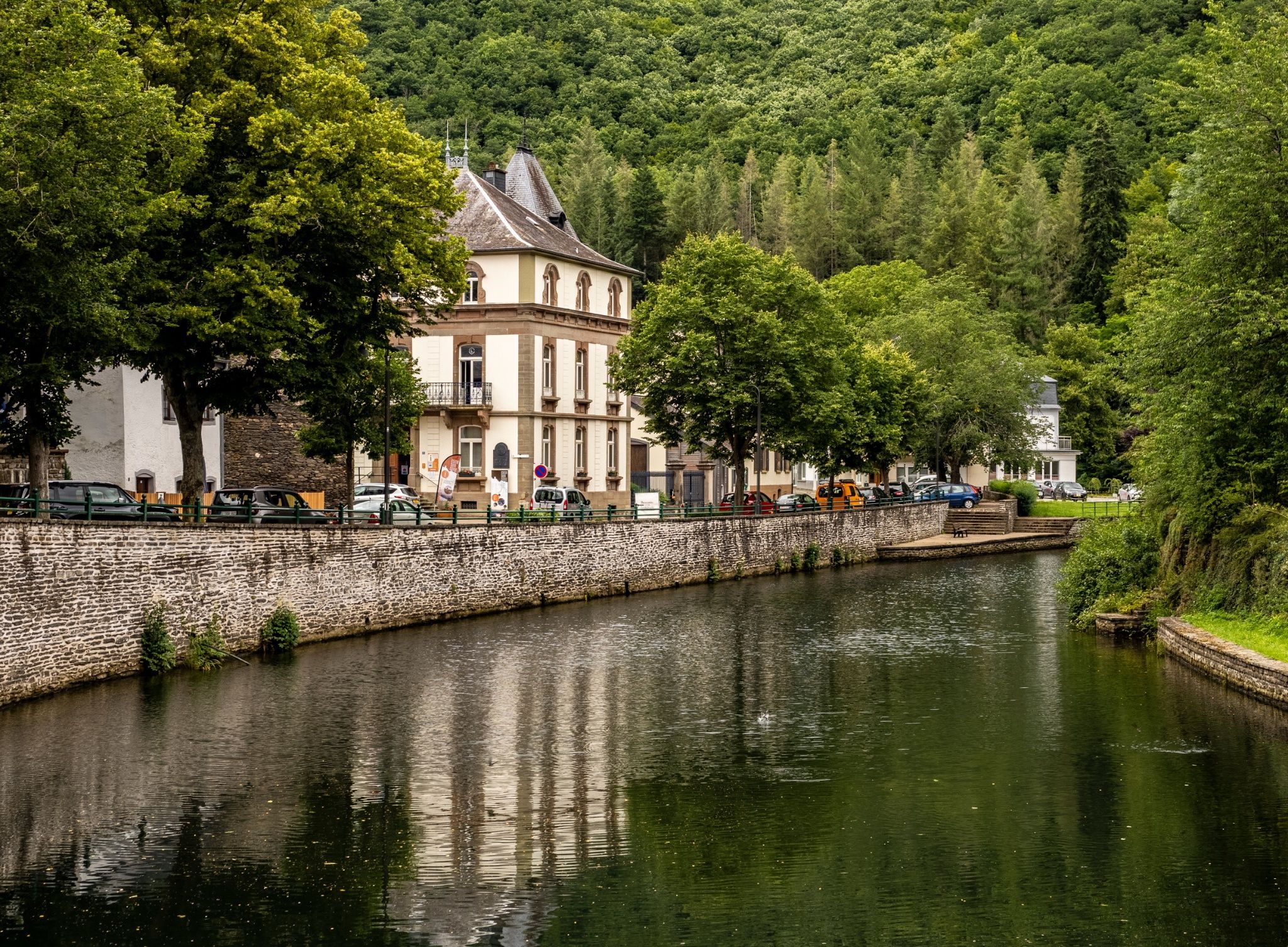
The Auto-Pédestre Esch-sur-Sûre runs northeast of the idyllic little town, up to the Upper Sauer Reservoir and across the wooded hills of the surrounding area.
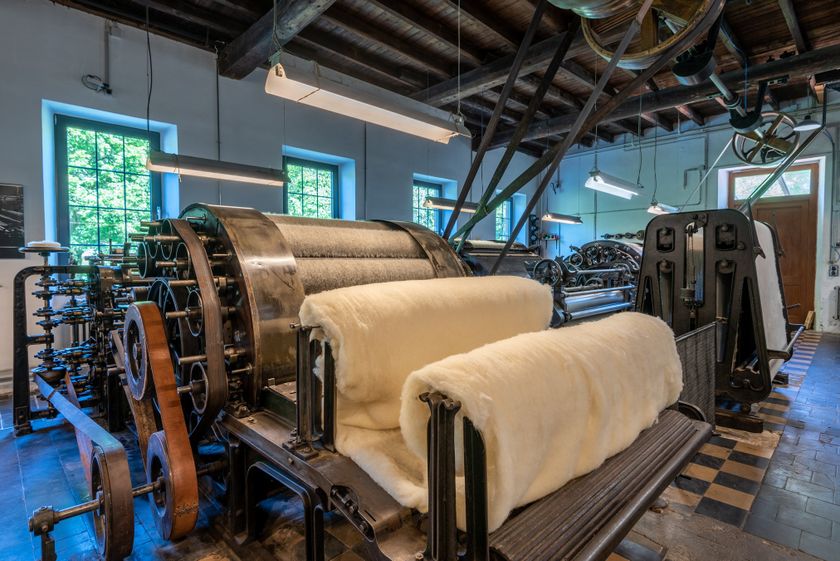
The Auto-Pédestre Esch-sur-Sûre starts at a car park slightly outside the town. First, it leads you through the town and then along the Sauer riverbank, past the old cloth factory and to the 47-meter-high arch dam. This was built from 1955 to 1958. Its wall thickness is about 1.5 m at the top and about 4.5 meters at the bottom. The path then leads to the wooded hills around the Upper Sauer Reservoir. This serves not only as a beautiful natural spectacle but also as a drinking water reserve and for power production.
From above, you get great views over the reservoir, whose appearance changes constantly throughout the seasons.
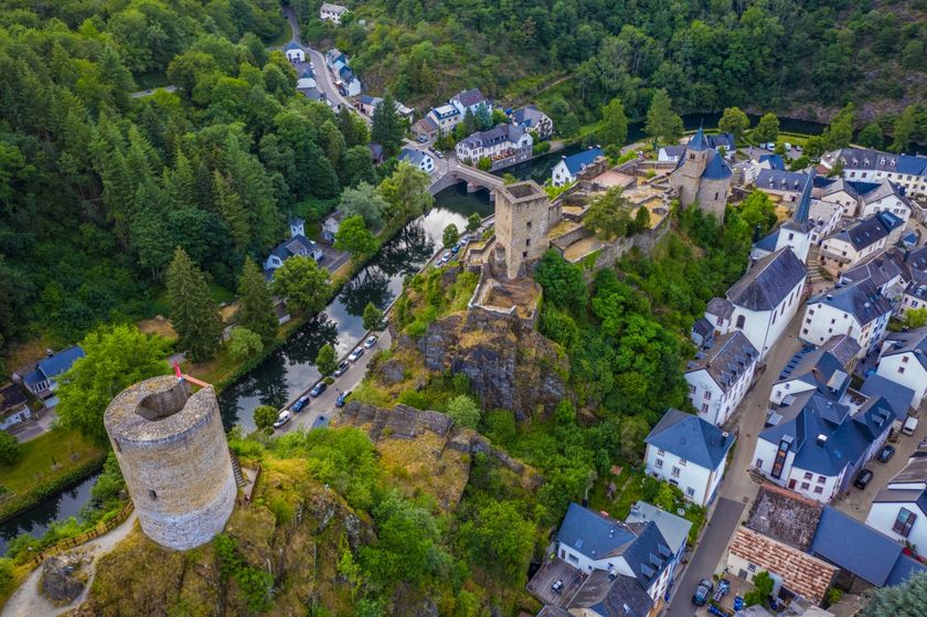
The path takes you almost to Kaundorf, where it turns back, slowly leading back to Esch-sur-Sûre. From here, it is always downhill, then through the idyllic little town and past the ruins of the medieval castle, returning to the starting point.
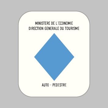
Signposting
For your safety
Weather conditions such as wetness, ice, and wind can make a route more difficult. The information refers to optimal conditions.
Equipment
Sturdy footwear and something to drink.


 This website uses technology and content from the Outdooractive Platform.