Description
Passing the main sights of the town, the Auto-Pédestre Wiltz then leads over the wooded heights east of the village.
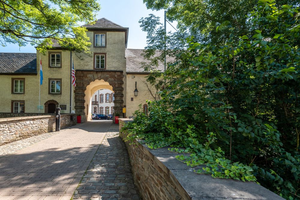
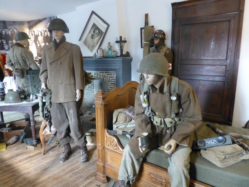
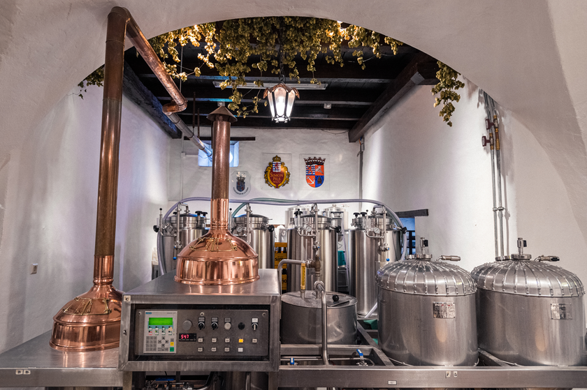
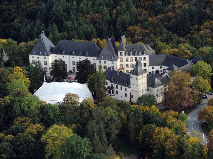
The Auto-Pédestre Wiltz starts at the castle, which also houses the National Brewery Museum and the Museum of the Battle of the Ardennes as well as a tourist information office. From here, the path runs east into the Bambësch before crossing the Hemeschterbaach. To the south, it goes almost to Nocher, where the path turns back. After passing the Schnéibech, it continues into the Wiltz valley, which it crosses near Merkholtz.
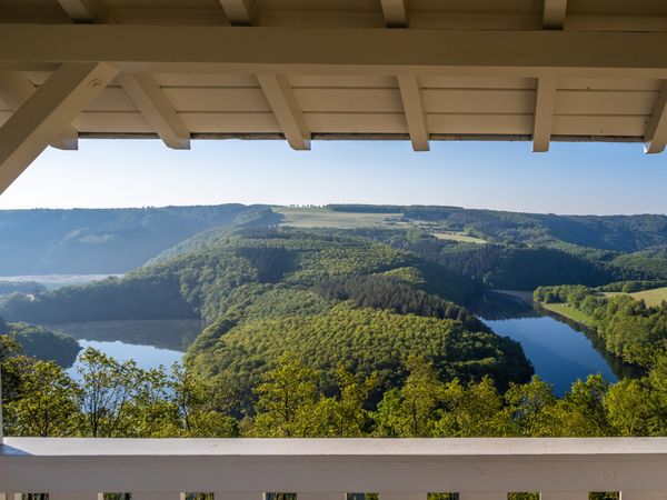
The path leads back to Wiltz through dense forests. On this last section, you will enjoy several beautiful views of the so-called capital of the Luxembourg Ardennes.
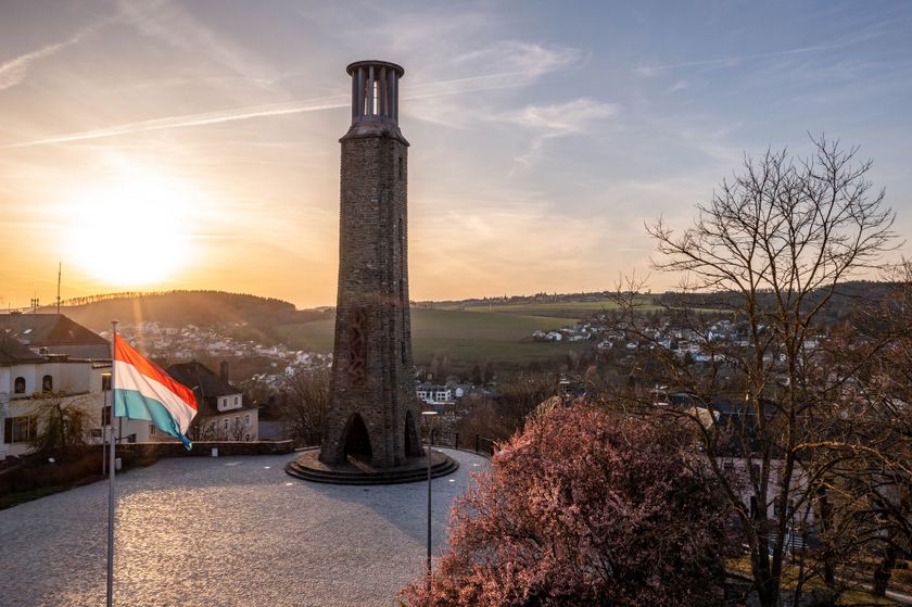
In the town, there are of course several places to stop as well as various sights, including the city garden with art installations, the late Gothic church from the 16th century, the national strike memorial, and much more.
Signposting

For your safety
Weather conditions such as wetness, ice, and wind can make a route more difficult. The details refer to optimal conditions.
Equipment
Sturdy footwear and something to drink.


 This website uses technology and content from the Outdooractive Platform.