Description
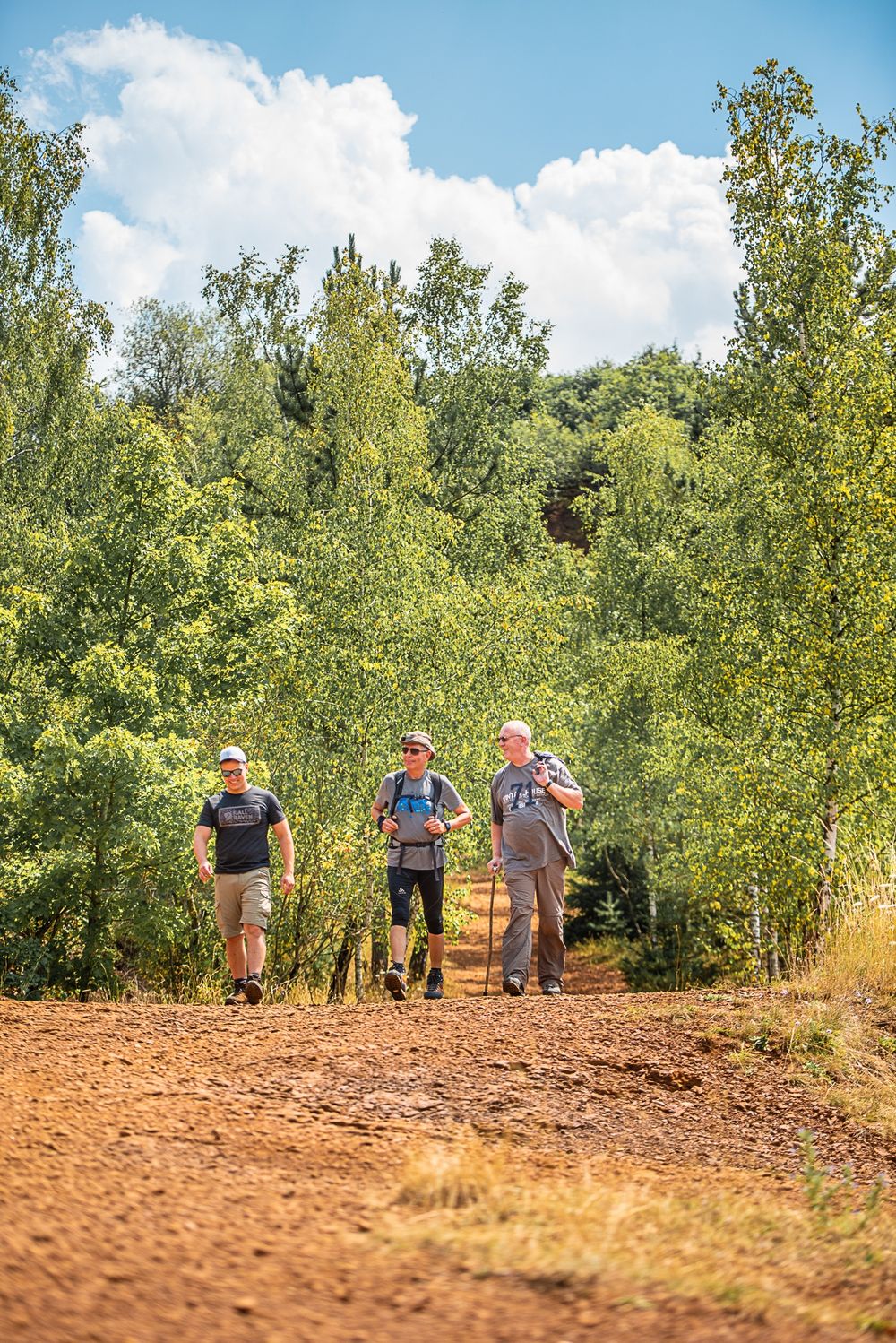
Hike on the regional Minett Trail between the Esch-sur-Alzette and Schifflange stations through the nature reserve "Lalléngerbierg - Brucherbierg" and experience the region's characteristic red rock walls.
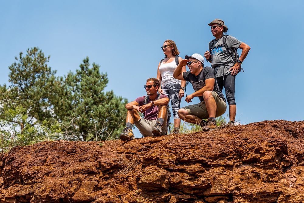
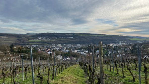
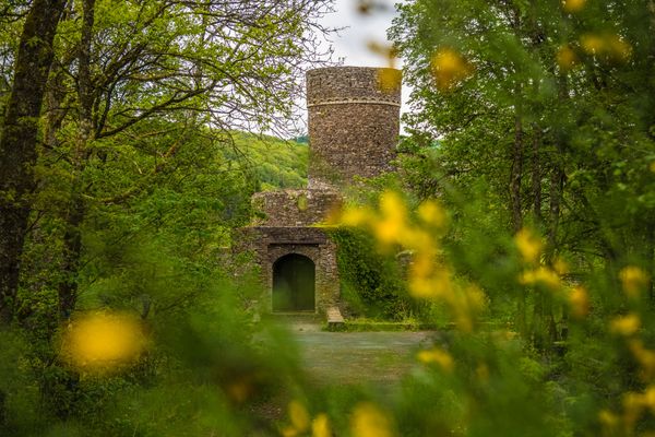
The Minett Trail is a 90-kilometer-long hiking trail running across the Minett region. In ten stages, you can experience smaller and larger towns as well as eight nature reserves. These impress with old forests and former open-cast mining areas. Due to the steep rock walls, the red earth, and mine entrances, they are unique in Luxembourg.
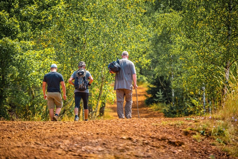
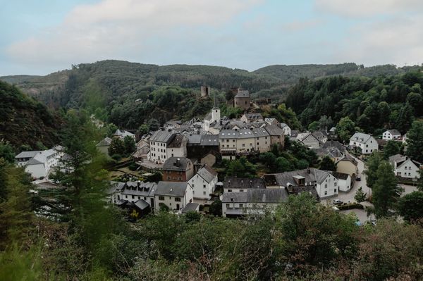
On this section, you hike between the towns of Esch-sur-Alzette and Schifflange through the nature reserve "Lalléngerbierg - Brucherbierg" and thus through an important piece of history that has strongly shaped the region and both towns.
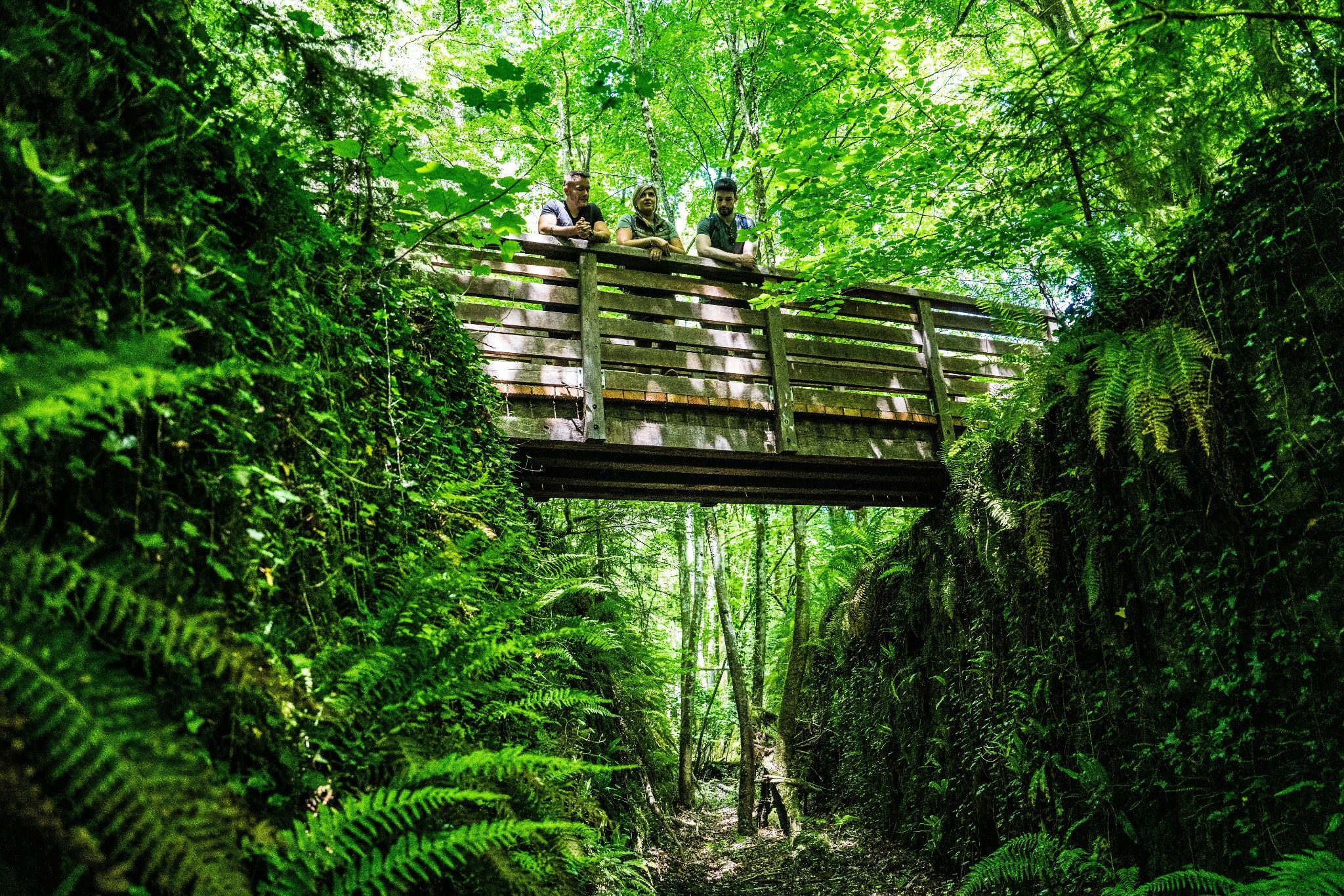
This stage is particularly contrasting; on the one hand, you pass through barren lunar landscapes with distinct red soil. Then the path leads through lush, green forests, and with some luck, you will find the source of the "Marxeweiher" near Schifflange. The path is also very scenic, offering deep insights into the ever-changing region. Only a short detour off the path towards the "Kabaischens" offers, for example, a view over the new Belval district.

Signposting

Directions
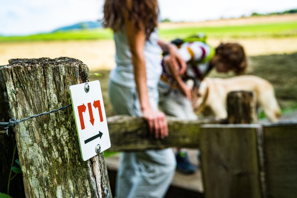
Please follow the "Minett Trail" signs, which you can follow in either direction along the path.
The path for this section starts at the "Passerelle" to Parc Gaalgebierg near the station in Esch-sur-Alzette or at the station behind the town hall in Schifflange. Look out for the signs with three red arrows on a white background. They are marked "in sight" and can be attached to streetlights or other posts.
In nature, you will find the marking on trees and posts. At important junctions, there are also signposts with arrows indicating direction and information on the distance to specific points, as well as pictograms with hints to possible hiking destinations.
For your safety
Please note that mountain bikers may come towards you at certain sections along the way, and the trail partly runs within the town over road crossings. Therefore, please follow the posted signs, do not leave the path, and pay attention to your surroundings.
Equipment
Please remember to wear sturdy footwear and appropriate clothing in case of bad weather.
Journey
Start and finish are at stations. Direct trains run from here to Luxembourg City.
Parking:
On-site parking available.


 This website uses technology and content from the Outdooractive Platform.