Luxemburg Wandeltochten
Hitte en droogte: help onze natuur te beschermen
Tijdens periodes met hoge temperaturen en aanhoudende droogte neemt het risico op natuur- en bosbranden aanzienlijk toe. Met enkele eenvoudige voorzorgsmaatregelen kan iedereen bijdragen aan de bescherming van onze natuur en bossen.
Lees de aanbevelingen van de Luxemburgse autoriteiten om natuur- en bosbranden te helpen voorkomen.
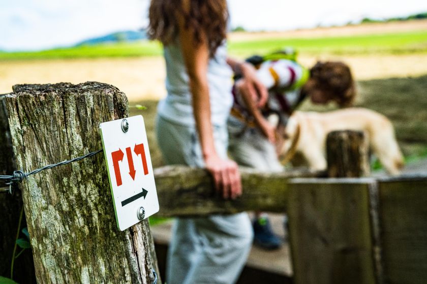
Wandelroutes in Luxemburg
613 resultaten
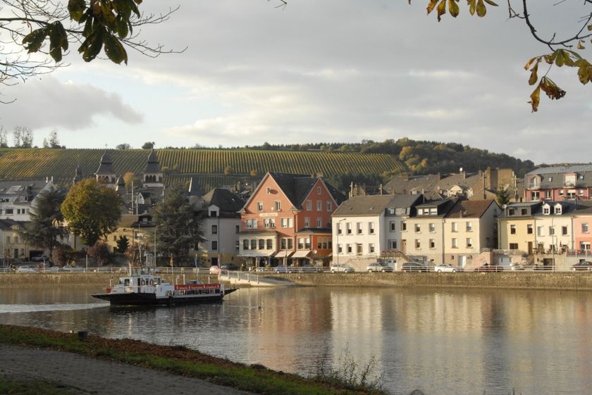
©Visit Luxembourg RondwandelroutesWasserbillig F
Afstand: 8,71 kmMeer informatie
Duur: 2:15 h
Moeilijkheidsgraad: medium©Visit Luxembourg RondwandelroutesLokale wandelroute - J1
Afstand: 12,46 kmMeer informatie
Duur: 3:15 h
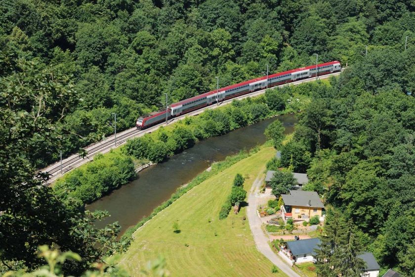
Moeilijkheidsgraad: moeilijk©Visit Luxembourg LangeafstandswandelroutesCFL-spoorweg 15 (Mersch - Kopstal - Mamer)
Afstand: 25,78 kmMeer informatie
Duur: 7:15 h
Moeilijkheidsgraad: moeilijk©Visit Éislek, Visit Éislek Éislek PiedKinderen & Gezin SchilderachtigÉislek Pad Boulaide
Afstand: 11,54 kmMeer informatie
Duur: 3:35 h
Moeilijkheidsgraad: medium©Visit Luxembourg RondwandelroutesSchilderachtigLokale wandelroute WW 3 - Weiswampach Zie
Afstand: 11,16 kmMeer informatie
Duur: 2:55 h
Moeilijkheidsgraad: medium©Jemp Origer, Visit Luxembourg RondwandelroutesLokale wandelroute - C3
Afstand: 6,66 kmMeer informatie
Duur: 1:48 h
Moeilijkheidsgraad: makkelijk©Visit Luxembourg RondwandelroutesLokale wandelroute - W5
Afstand: 10,10 kmMeer informatie
Duur: 2:50 h
Moeilijkheidsgraad: medium©Ninon Sitz, Visit Luxembourg RondwandelroutesHeedbaach Tour - RE2
Afstand: 3,62 kmMeer informatie
Duur: 0:55 h
Moeilijkheidsgraad: makkelijk©Pulsa Pictures, ORT Sud RondwandelroutesAuto-Pédestre Rondwandelroute Rumelange II
Afstand: 6,84 kmMeer informatie
Duur: 2:05 h
Moeilijkheidsgraad: medium©Pulsa Pictures, ORT SUD Minett TrailMinett Trail: Differdange Gare - Belval-Rédange Gare
Afstand: 8,15 kmMeer informatie
Duur: 2:15 h
Moeilijkheidsgraad: medium