Description
Varied circular hiking route in Manternach
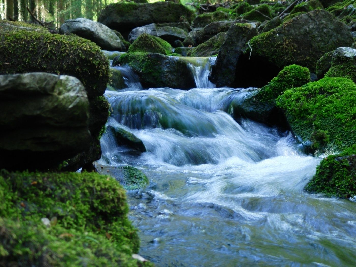
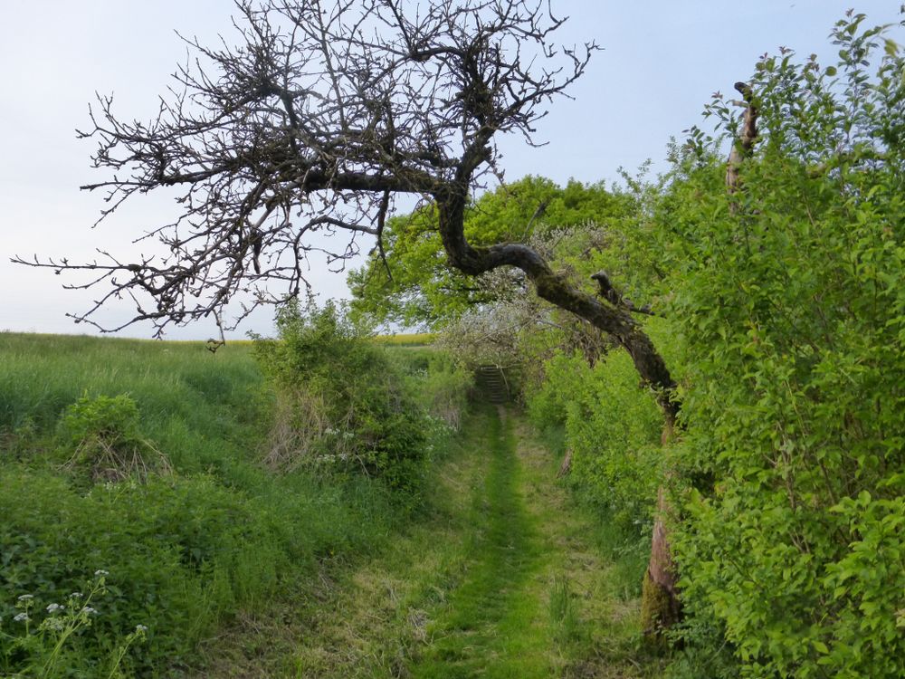
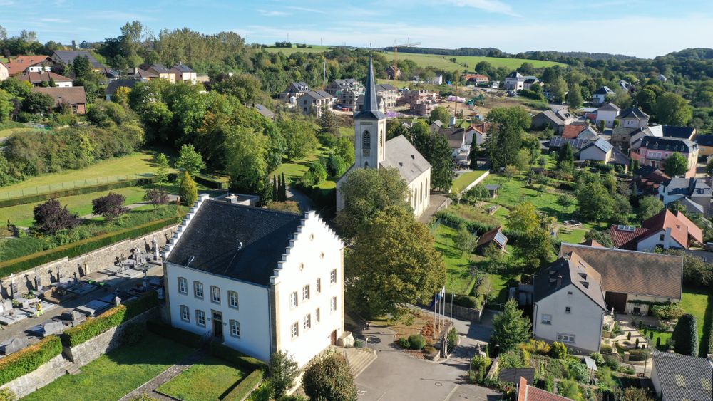
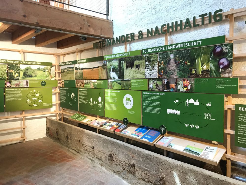
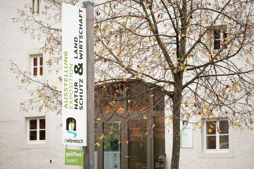
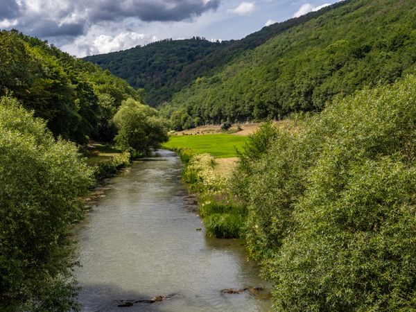
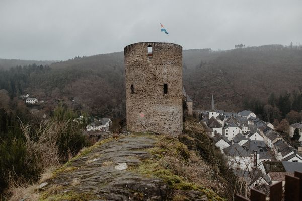
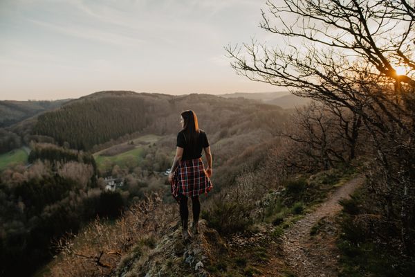
This circular hike impresses with a combination of scenic beauty and informative information panels. Using 24 topics, the interaction between agriculture and nature conservation is described. The educational trail starts at the Manternach train station and briefly passes through the Manternacher Fiels nature reserve. You first go down to the Syr. There you cross the river and the railway tracks twice. Along the edge of the forest, you follow the course of the river before heading up to Fuusskopp. Then you go across the Lellig Plateau to Lellig. Along the Oster and Wuelbertsbaach, the path leads back to the starting point.
Signposting
Directions
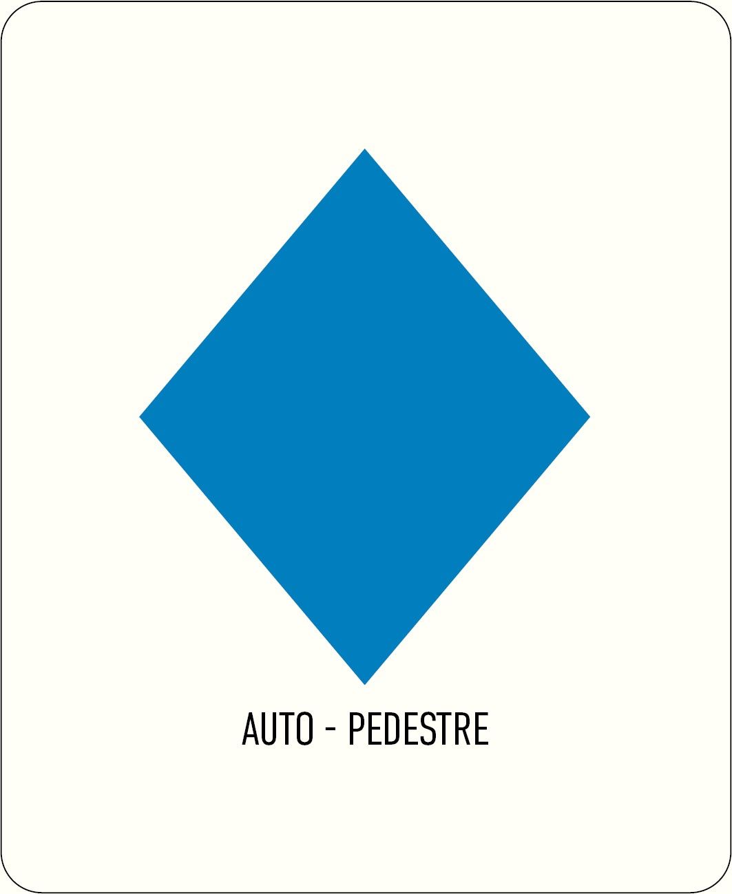
Follow the blue diamond on a white background, the path is marked in both directions.
Journey
By bus: Bus stop: Manternach, Gare routière
By train: Manternach Station
Parking:
A car park is located directly at the starting point.


 This website uses technology and content from the Outdooractive Platform.