©Visit Luxembourg
Éislek Germany France

Auto-Pédestre Tadler hiking trail

Hunting Season 2025/26 — Check for hunts

Autumn is here, and that means hunting season has begun! From mid-October to January/February, hunters are active across the country. Stay safe by checking hunt dates in your area on our Map. 

Click on Map in the Header > Services > More > Hunting.

Starting point

Car park at the village exit towards Ringel, Haaptstrooss, Tadler

Destination

Car park at the village exit towards Ringel, Haaptstrooss, Tadler

Distance
4,57 km
Duration
1:30 h
Difficulty
easy
  • Condition
Highest point
408 Hm
Lowest point
258 Hm
Aggregated Ascent
130 Hm
Aggregated Descent
130 Hm
Circular routes Visit Luxembourg

Description

Scenic

Just under 5 kilometers long and with a steep descent shortly before the finish: this is how the Auto-Pédestre Tadler can be summarized.

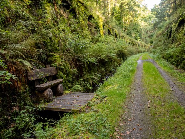
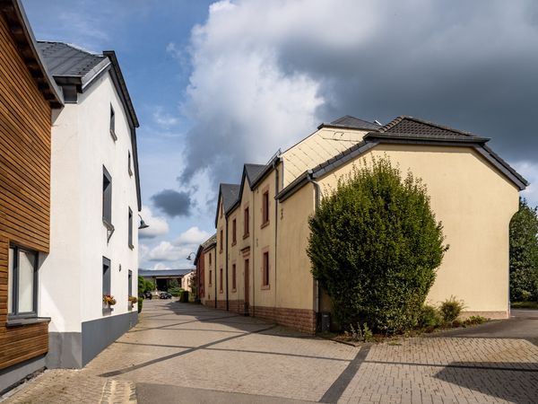
The village of Tadler lies directly on the Sauer river, which winds through the region in idyllic meanders. The Auto-Pédestre hiking trail leads you south, over a paved road into the forest.

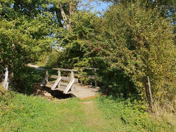
Here, in Roudewäldchen, you walk to the Toodlerbach, which you cross. Now it goes always northwards to the entrance of the village Ringel, which has fewer than 50 inhabitants. Here the hiking trail turns back and takes you to the Sauer, passing the hamlet Todlermillen, returning to your starting point.

Similar hiking tours

©Ville de Dudelange, Ville de Dudelange
Circular routes
Local hiking trail Dudelange - "Buerfousswee"
Distance: 0,64 km
Duration: 0:10 h
Difficulty: easy
Find out more
©Pancake!
Circular routes
Nature walk Natura 2000 - Boucle A: « L’homme et la forêt » – 5 km
Distance: 5,51 km
Duration: 1:30 h
Difficulty: easy
Find out more
©ORT SUD
Circular routes
Local hiking trail Esch: Sentier Norbert Theis Trail – 7km
Distance: 7,98 km
Duration: 2:15 h
Difficulty: easy
Find out more
©Pulsa Pictures, ORT SUD
Circular routes
Local hiking trail Esch: Burgronn - 3 km
Distance: 2,97 km
Duration: 0:45 h
Difficulty: easy
Find out more
©Visit Luxembourg
Thematic paths
Naturentdeckungspfad Cactusbësch
Distance: 6,09 km
Duration: 1:50 h
Difficulty: easy
Find out more
©Visit Luxembourg
Thematic paths
Honeybee educational trail between Waldbillig and Christnach
Distance: 4,00 km
Duration: 1:30 h
Difficulty: easy
Find out more
©Jeniska Photography, Visit Luxembourg
Guttland.Trails
Guttland.Trail Fautelfiels
Distance: 5,40 km
Duration: 1:45 h
Difficulty: easy
Find out more
©Fernand Morbach, Visit Luxembourg
Circular routes
Bësch Tour - RE1
Distance: 7,63 km
Duration: 2:00 h
Difficulty: easy
Find out more
©ORT Sud
Thematic paths
Educational trail “Felten's Pol säi Léierpad"
Distance: 1,80 km
Duration: 0:25 h
Difficulty: easy
Find out more
outdooractive This website uses technology and content from the Outdooractive Platform.