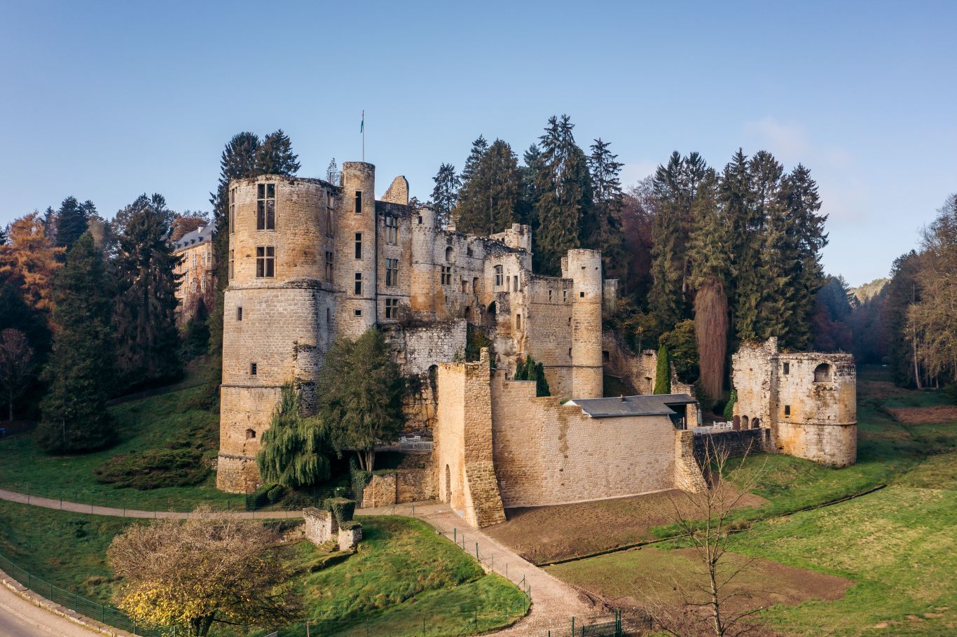
©Anne Lommel
Müllerthal Germany France

Mullerthal Trail – Section 10: Beaufort–Müllerthal

Hunting Season 2026/27 — Check for hunts

Autumn is here, and that means hunting season has begun! From mid-October to January/February, hunters are active across the country. Stay safe by checking hunt dates in your area on our Map. 

Click on Map in the Header > Services > More > Hunting.

Starting point

Beaufort Castle

Destination

Müllerthal

Distance
7,93 km
Duration
2:05 h
Difficulty
medium
  • Condition
Highest point
314 Hm
Lowest point
188 Hm
Aggregated Ascent
45 Hm
Aggregated Descent
144 Hm
Visit Luxembourg

Description

This section of the Mullerthal Trail leads from Beaufort to Müllerthal. It is one of 13 sections into which the entire Mullerthal Trail can be divided.

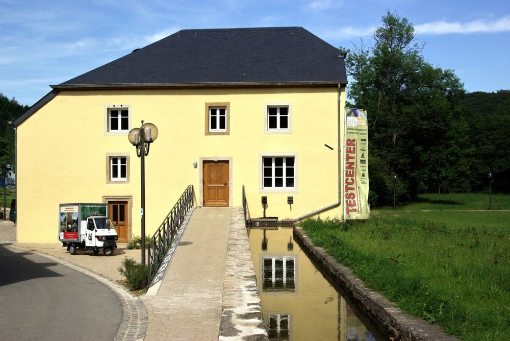
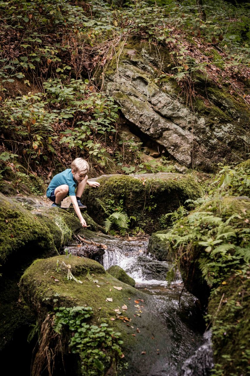
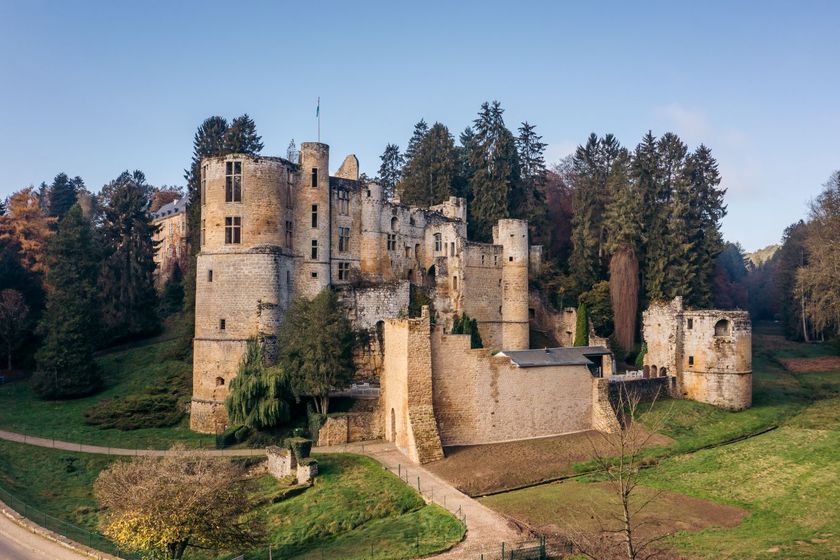
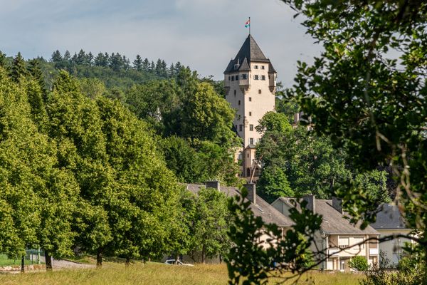
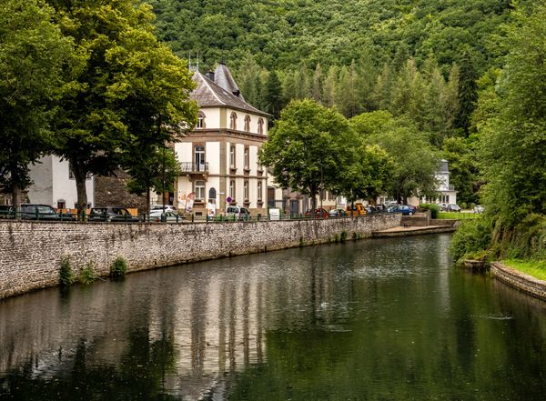
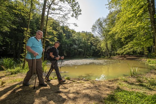
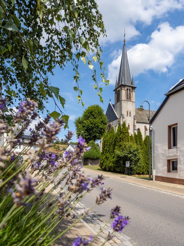
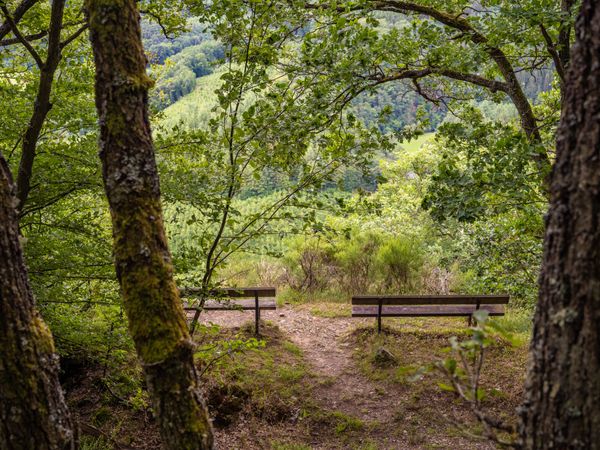
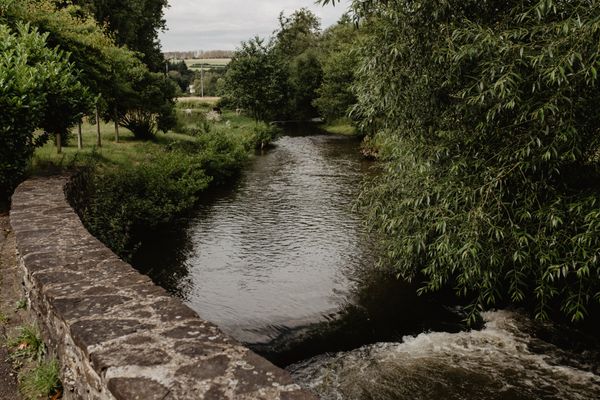
This section of the Mullerthal Trail inspired by the elements ofrocks, forest and water is particularly interesting. The starting point is near the imposing castle ruins of Beaufort which date from the 12th century. Right behind the ruins, there is a Renaissance castle from the 17th century, where the famous Cassero, a blackcurrant liqueur is still produced today and offered for tasting. The Mullerthal Trail runs beside the pond opposite the castle into the woods and leads along the banks of the wild, romantic Haupeschbaach which determines, together with the moss-covered rocks, the character of this section. After a short time, the Haupeschbaach meets the Halerbaach. There are many small wooden bridges here that cross the creek and an extraordinary, moss-covered rocky landscape.

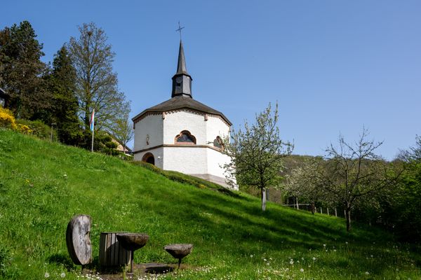
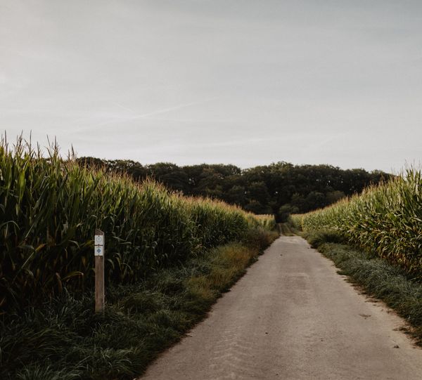
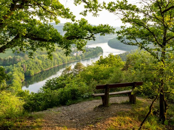
After a few kilometers,the trail leaves the forest and runs into the beautiful open valley of the Black Ernz. On the meadows along the meandering creek you can see Black Angus cattle grazing most of the year. The trail then passes through an idyllic landscape along the forest to the next destination - the Heringer Millen in the village of Mullerthal.

Suggestions nearby

Mullerthal Trail – Section 10: Beaufort–Müllerthal

  • ©PANCAKE! Photographie
    Creek valleys “Haupeschbaach and Halerbaach”
    Hike along the wild-romantic, bubbling streams Haupeschbaach and Halerbaach
    Find out more
  • ©Anne Lommel
    free
    with theLuxembourgPass
    Beaufort Castle
    Immerse yourself in the history of the medieval castle and discover how the last occupant lived in the Renaissance castle.
    Find out more
  • Natura 2000 area - Valley of the Black Ernz
    Natura 2000 area - Valley of the Black Ernz
    Find out more

Similar hiking tours

©Visit Éislek
Circular routes
Auto-Pédestre hiking route Heiderscheid
Distance: 7,97 km
Duration: 2:25 h
Difficulty: medium
Find out more
©Dan Castiglia, Visit Éislek
Circular routes
Auto-Pédestre route Colmar-Berg
Distance: 7,24 km
Duration: 2:00 h
Difficulty: medium
Find out more
©Visit Éislek
Circular routes
Auto-Pédestre hiking route Esch-Sur-Sûre
Distance: 9,72 km
Duration: 3:10 h
Difficulty: medium
Find out more
©Pulsa Pictures, ORT SUD
Thematic paths
Nature walk "Natura 2000" - Ellergronn
Distance: 11,89 km
Duration: 3:10 h
Difficulty: medium
Find out more
©Visit Luxembourg
Circular routes
Auto-Pédestre Hiking Trail Holtz
Distance: 8,92 km
Duration: 2:30 h
Difficulty: medium
Find out more
©Visit Éislek
Circular routes
Auto-Pédestre hiking route Arsdorf
Distance: 11,05 km
Duration: 3:10 h
Difficulty: medium
Find out more
©Visit Éislek
Circular routes
Auto-Pédestre route Goesdorf
Distance: 6,87 km
Duration: 2:10 h
Difficulty: medium
Find out more
©Visit Éislek
Circular routes
Auto-Pédestre hiking route Wilwerwiltz
Distance: 9,65 km
Duration: 2:50 h
Difficulty: medium
Find out more
©Runtschelt, Visit Éislek
Circular routes
Auto-Pédestre Hiking Trail Kaundorf
Distance: 8,51 km
Duration: 2:25 h
Difficulty: medium
Find out more
outdooractive This website uses technology and content from the Outdooractive Platform.