
Creek valleys “Haupeschbaach and Halerbaach”
Where? CR 364, 6315 Beaufort
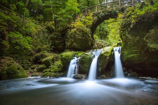
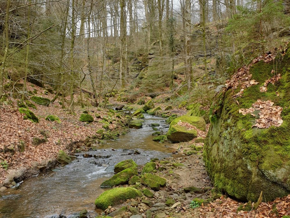
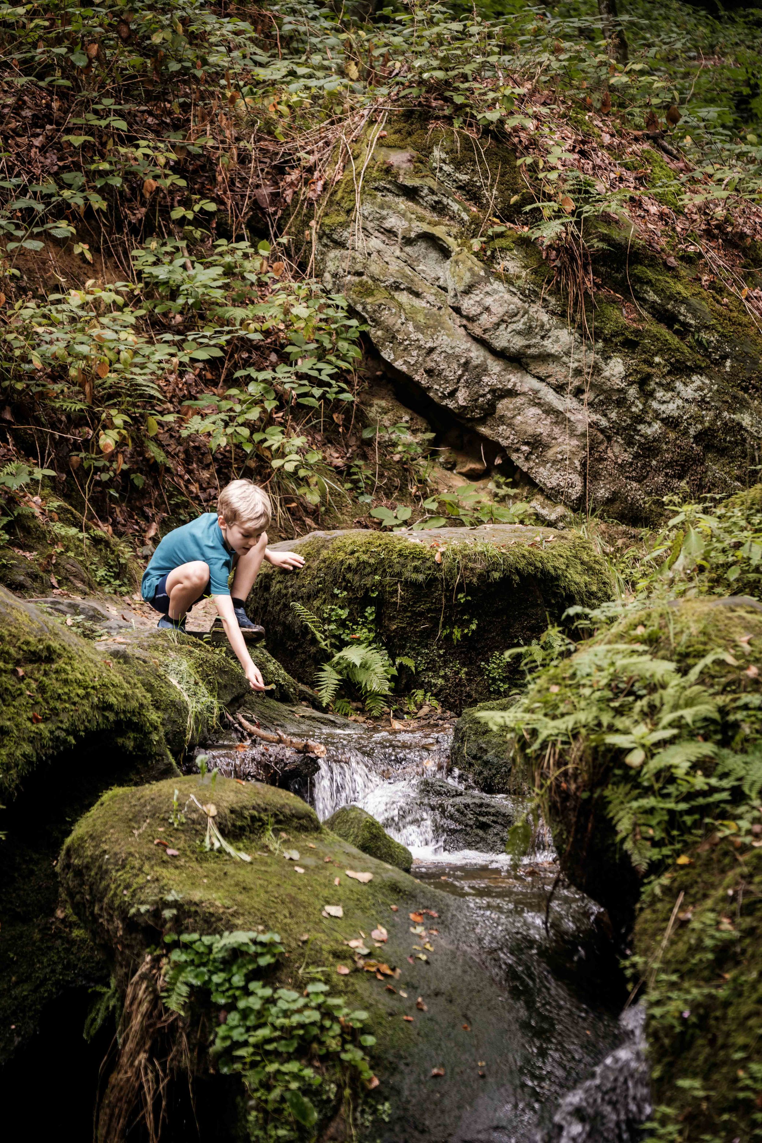
Hike along the wild-romantic, bubbling streams Haupeschbaach and Halerbaach
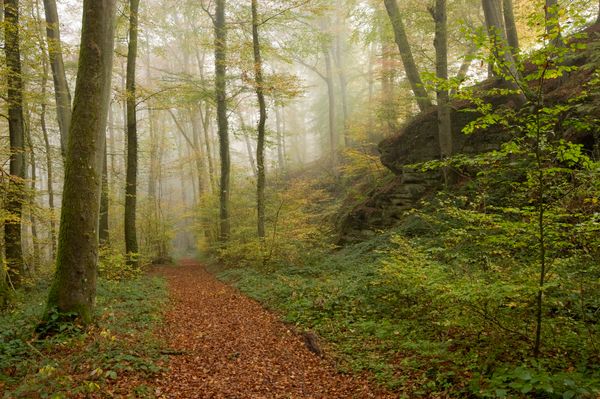
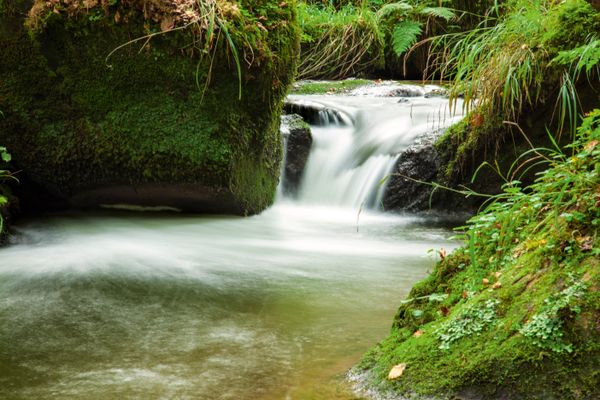
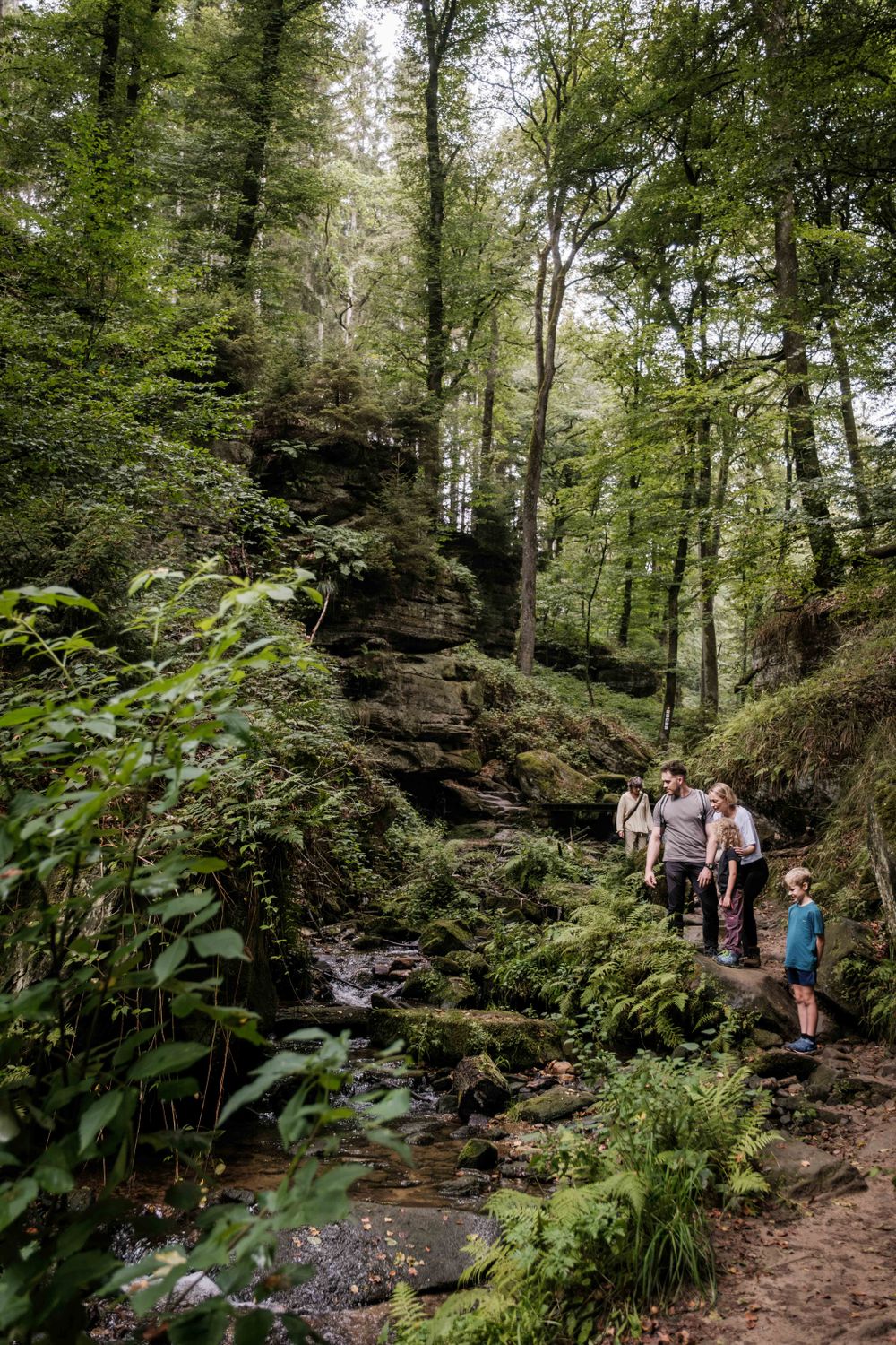
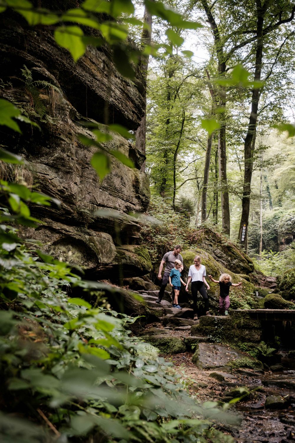
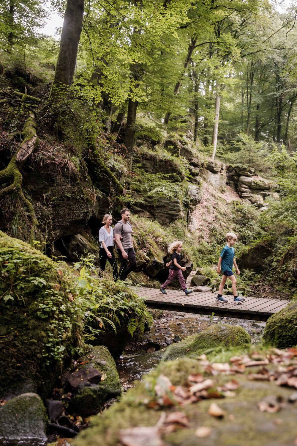
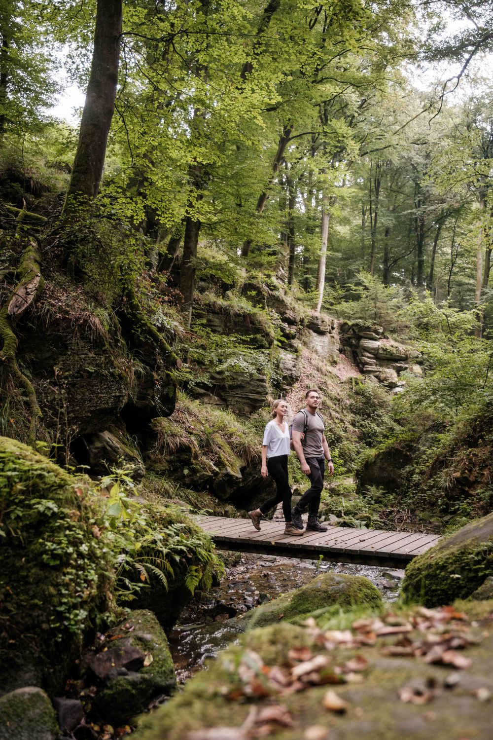
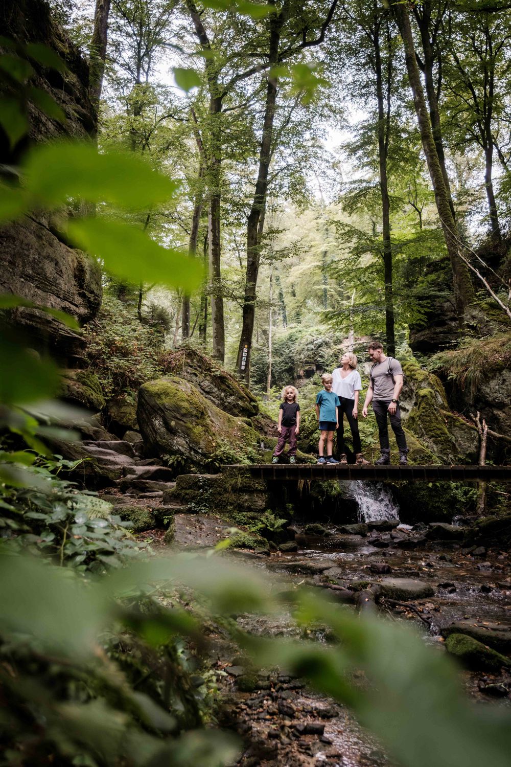
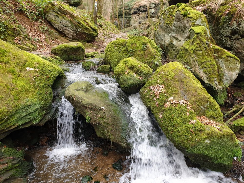
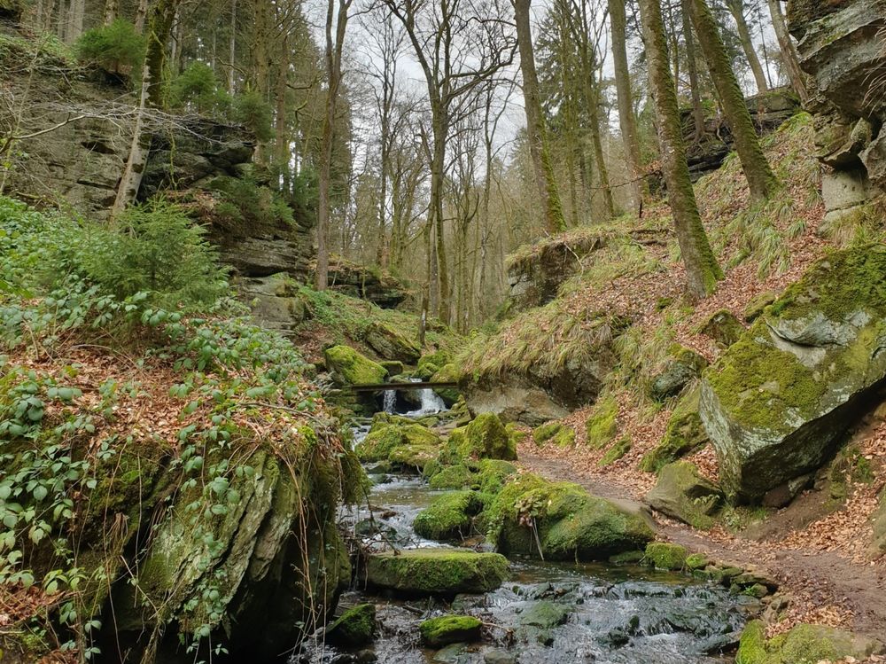
A hike along the wild-romantic, bubbling streams Haupeschbaach and Halerbaach leads through typical V-shaped valleys. This form is created by the weathering of the rock walls. The weathered material falling from the rock faces covers the foot of the steep cliffs of sandstone with sandy and stony debris. Numerous springs emerge from the sandstone and feed the streams, so that the landscape is characerised by the water. Therefore, even on hot summer days it is pleasantly cool in the valley. Hikers can enjoy many small wooden bridges that cross the stream and a unique landscape of mossy rocks.
The stream valleys of Haupeschbaach and Halerbaach are accessible from Route 3 of the Mullerthal Trail. You can also hike on local trails W4, W5, B1 and B7.