
Rondwandelroutes Visit Luxembourg
Beschrijving
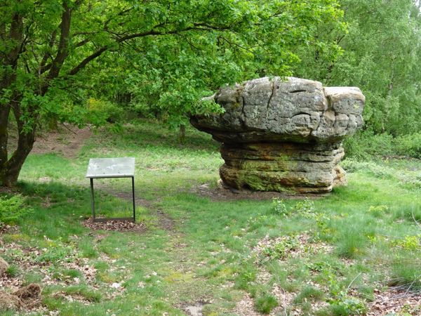
Deze korte wandelroute loopt langs de Péiteschmark, een oude grensmarkering die ooit het bezit van de aartsbisschop van Trier afbakende, en leidt vervolgens naar de oude Romeinse weg Kiem, die vroeger Lyon met de Neder-Rijn verbond.
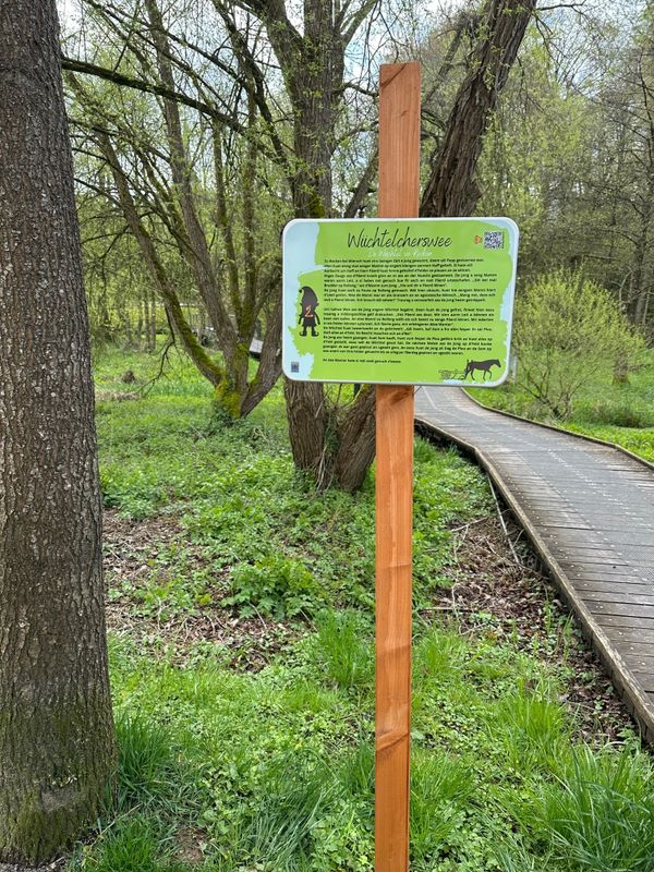
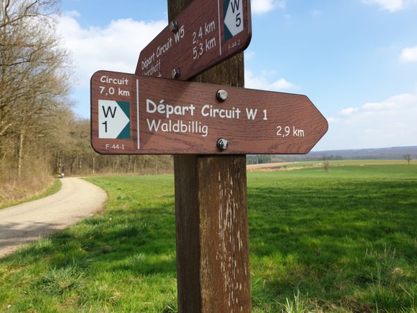
Bewegwijzering

Veiligheidsaanwijzingen
Weersomstandigheden zoals nattigheid, ijs en wind kunnen een tocht bemoeilijken. De gegeven informatie heeft betrekking op optimale omstandigheden.
Uitrusting
Stevige schoenen en iets te drinken.


 Deze website maakt gebruik van technologie en inhoud van het Outdooractive Platform.