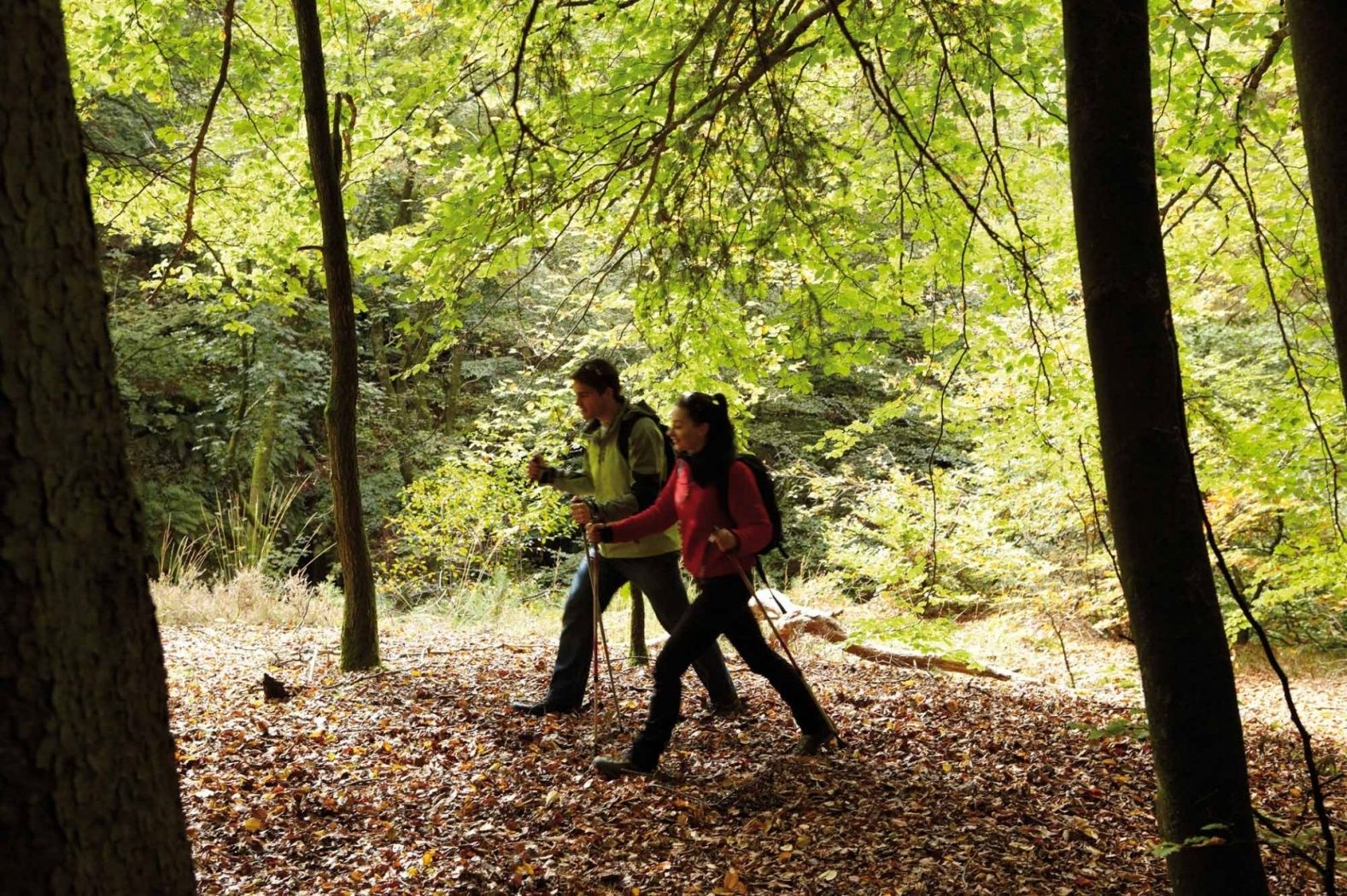
©Visit Luxembourg
Guttland Germany France

Auto-Pédestre trail Uebersyren

Starting point

CR 185 halfway between Beyren and Uebersyren

Destination

CR 185 halfway between Beyren and Uebersyren

Distance
5,06 km
Duration
1:20 h
Difficulty
easy
  • Condition
Highest point
327 Hm
Lowest point
256 Hm
Aggregated Ascent
63 Hm
Aggregated Descent
63 Hm
Circular routes Visit Luxembourg

Description

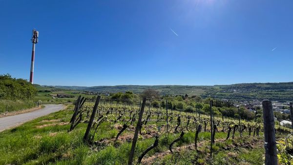
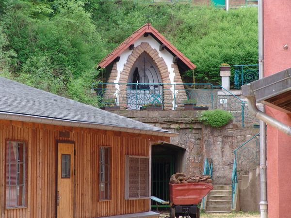
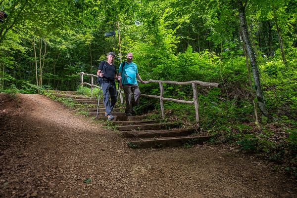
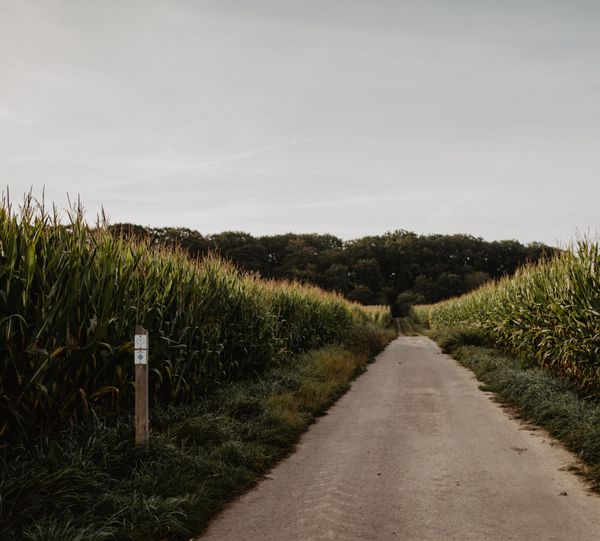
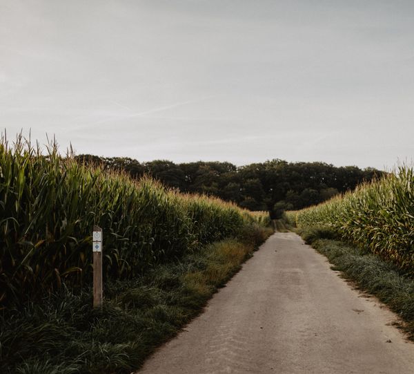
This short walk passes near the Péiteschmark, a border which once marked the boundary of the Archbishopric of Trier, before joining the ancient Roman road Kiem linking Lyon to the Lower Rhine region.

Similar hiking tours

©Pancake!
Circular routes
Nature walk Natura 2000 - Boucle A: « L’homme et la forêt » – 5 km
Distance: 5,51 km
Duration: 1:30 h
Difficulty: easy
Find out more
©Pulsa Pictures, Pulsa Pictures ORT Sud
Local hiking trail Esch: Réimerwee - 4 km
Distance: 4,42 km
Duration: 1:15 h
Difficulty: easy
Find out more
©Visit Luxembourg
Circular routes
Auto-Pédestre Hiking Trail Büderscheid
Distance: 4,64 km
Duration: 1:20 h
Difficulty: easy
Find out more
©Luxembourg for Tourism
Circular routes
Auto-Pédestre Bourscheid route
Distance: 5,88 km
Duration: 2:05 h
Difficulty: easy
Find out more
©Dan Castiglia, Visit Éislek
Circular routes
Auto-Pédestre Hiking Trail Bürden
Distance: 4,62 km
Duration: 1:25 h
Difficulty: easy
Find out more
©ORT Sud
Circular routes
Local hiking route "Parc Le'h" - children’s route
Distance: 1,46 km
Duration: 0:25 h
Difficulty: easy
Find out more
©Visit Luxembourg
Circular routes
Auto-Pédestre Hiking Trail Surré
Distance: 6,21 km
Duration: 1:45 h
Difficulty: easy
Find out more
©Visit Luxembourg
Thematic paths
Honeybee educational trail between Waldbillig and Christnach
Distance: 4,00 km
Duration: 1:30 h
Difficulty: easy
Find out more
©Visit Luxembourg
Circular routes
Local hiking trail TA 2 - Bettel
Distance: 6,00 km
Duration: 1:45 h
Difficulty: easy
Find out more
outdooractive This website uses technology and content from the Outdooractive Platform.