©Visit Luxembourg
Éislek Germany France

Auto-Pédestre Hiking Route Eschweiler

Starting point

Parking, 20 Duerfstrooss, Eschweiler

Destination

Parking, 20 Duerfstrooss, Eschweiler

Distance
7,05 km
Duration
1:55 h
Difficulty
easy
  • Condition
Highest point
487 Hm
Lowest point
369 Hm
Aggregated Ascent
140 Hm
Aggregated Descent
140 Hm
Circular routes Visit Luxembourg

Description

Scenic

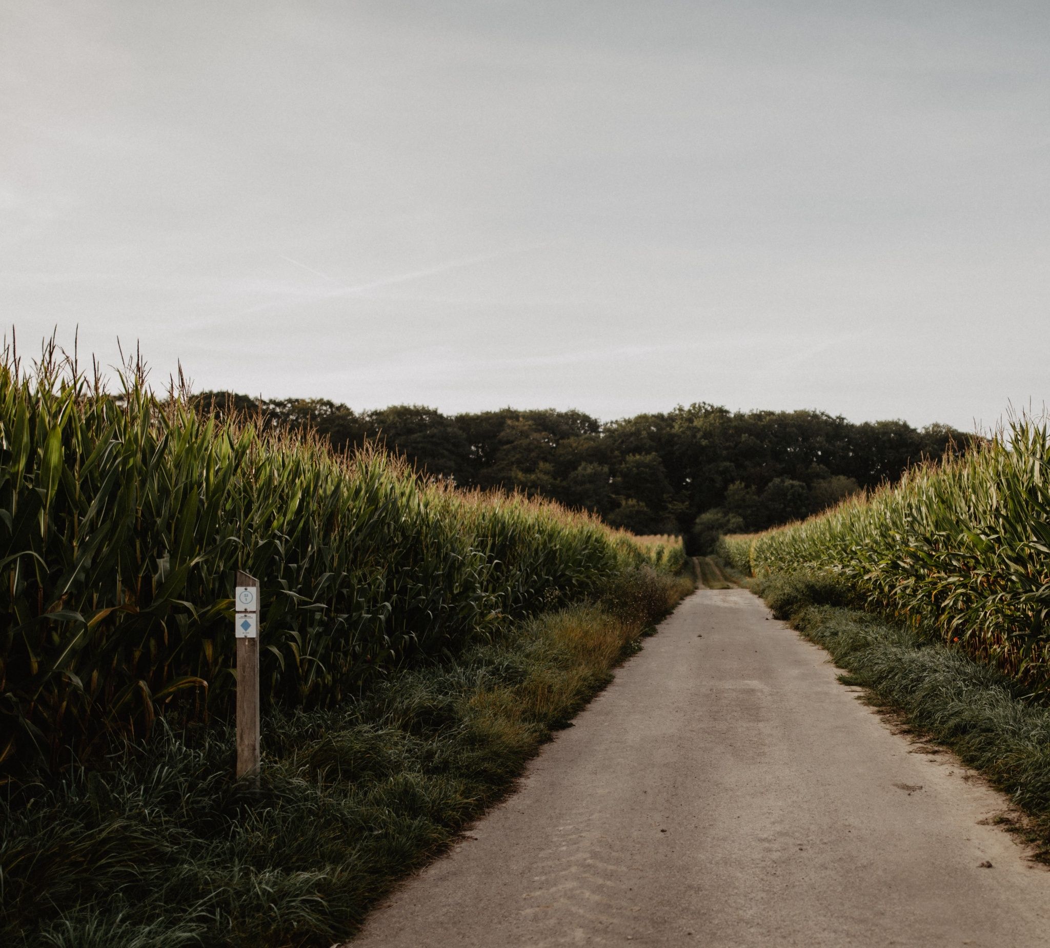
The Auto-Pédestre Eschweiler route leads through green meadows and dense forests in the southwest of the small village.

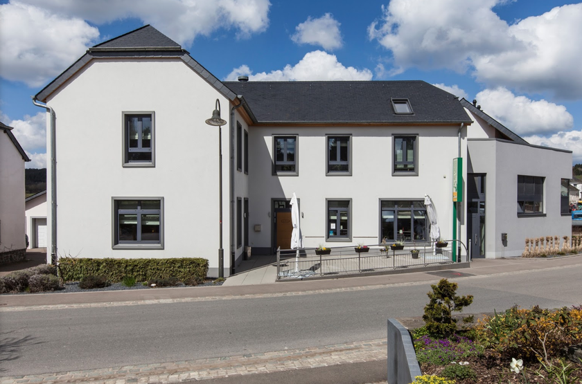
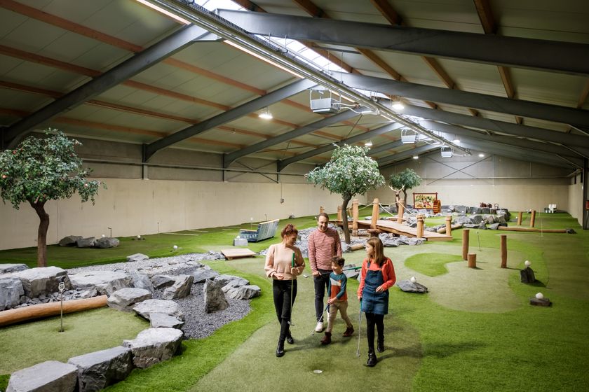
The Auto-Pédestre Eschweiler starts near the MIGO, the mini-golf and playground in the village center. By the way, here you will also find a place to stop for refreshments.

From now on, it goes downhill to the Burebaach, which the path follows until the mouth into the Ierpeldéngerbaach. This is also the lowest point of the hike.

Slowly it goes uphill to Schoorthaff, into the forest, across the Ierpeldéngerbaach, and back to Eschweiler, the destination.

Suggestions nearby

Auto-Pédestre Hiking Route Eschweiler

  • ©An der Gaessen
    Restaurant "An der Gaessen"
    Modern restaurant in Eschweiler (Wiltz) offering regional cuisine, daily menus, a bar and terrace.
    Find out more
  • ©Pancake! Photographie
    free
    with theLuxembourgPass
    MIGO – Mini-Golf & Spill-Park
    MIGO indoor leisure centre: Mini-golf & play park
    Find out more

Similar hiking tours

©Ville de Dudelange, Ville de Dudelange
Circular routes
Local hiking trail Dudelange - "Buerfousswee"
Distance: 0,64 km
Duration: 0:10 h
Difficulty: easy
Find out more
©Pancake!
Circular routes
Nature walk Natura 2000 - Boucle A: « L’homme et la forêt » – 5 km
Distance: 5,51 km
Duration: 1:30 h
Difficulty: easy
Find out more
©KuFa
Circular routes
Nature walk Natura 2000 - Boucle C: "La succession végétale sur un ancien territoire minier" – 2,5 km
Distance: 2,68 km
Duration: 0:45 h
Difficulty: easy
Find out more
©ORT SUD
Circular routes
Local hiking trail Esch: Sentier Norbert Theis Trail – 7km
Distance: 7,98 km
Duration: 2:15 h
Difficulty: easy
Find out more
©Visit Luxembourg
Circular routes
Auto-Pédestre Tadler hiking trail
Distance: 4,57 km
Duration: 1:30 h
Difficulty: easy
Find out more
©Visit Luxembourg
Circular routes
Auto-Pédestre trail Bürden
Distance: 4,62 km
Duration: 1:25 h
Difficulty: easy
Find out more
©Visit Luxembourg
Thematic paths
Honeybee educational trail between Waldbillig and Christnach
Distance: 4,00 km
Duration: 1:30 h
Difficulty: easy
Find out more
©Visit Luxembourg
Thematic paths
Kuebendällchen educational trail
Distance: 5,55 km
Duration: 1:35 h
Difficulty: easy
Find out more
©ORT Sud
Thematic paths
Educational trail “Felten's Pol säi Léierpad"
Distance: 1,80 km
Duration: 0:25 h
Difficulty: easy
Find out more
outdooractive This website uses technology and content from the Outdooractive Platform.