

Beschrijving
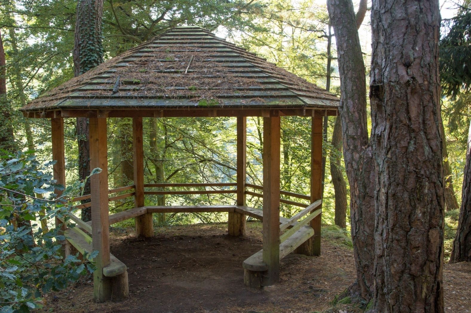
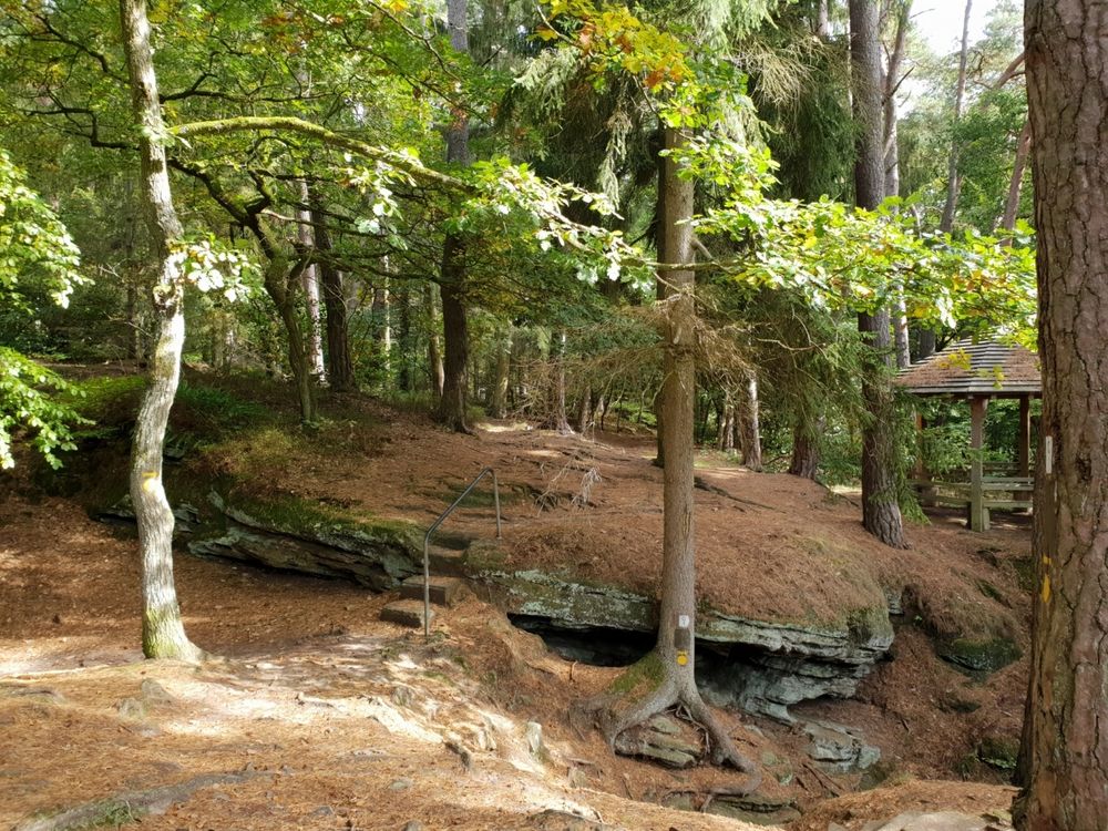
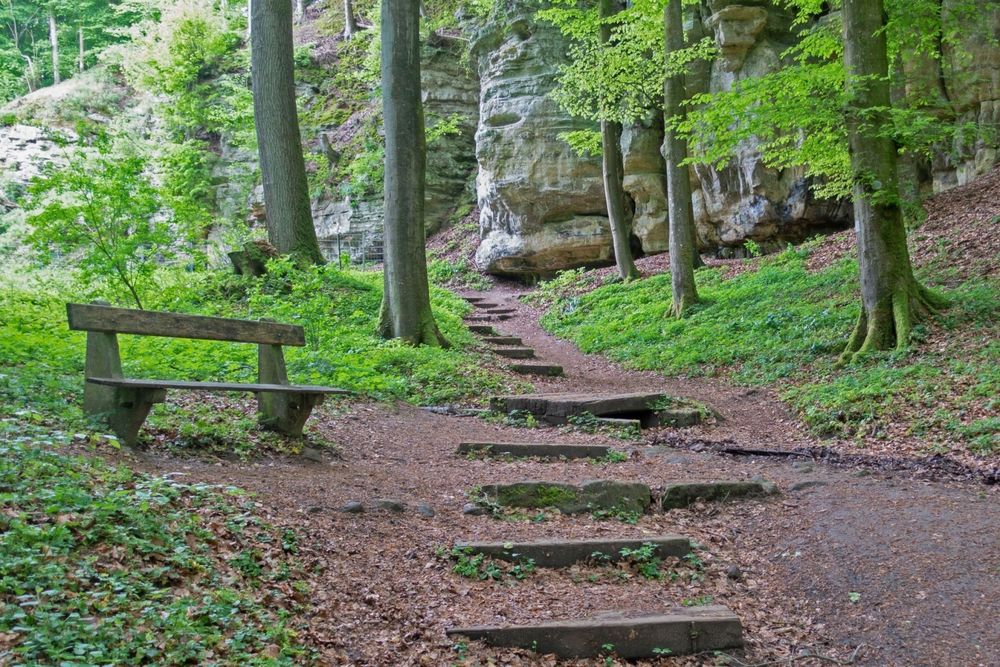
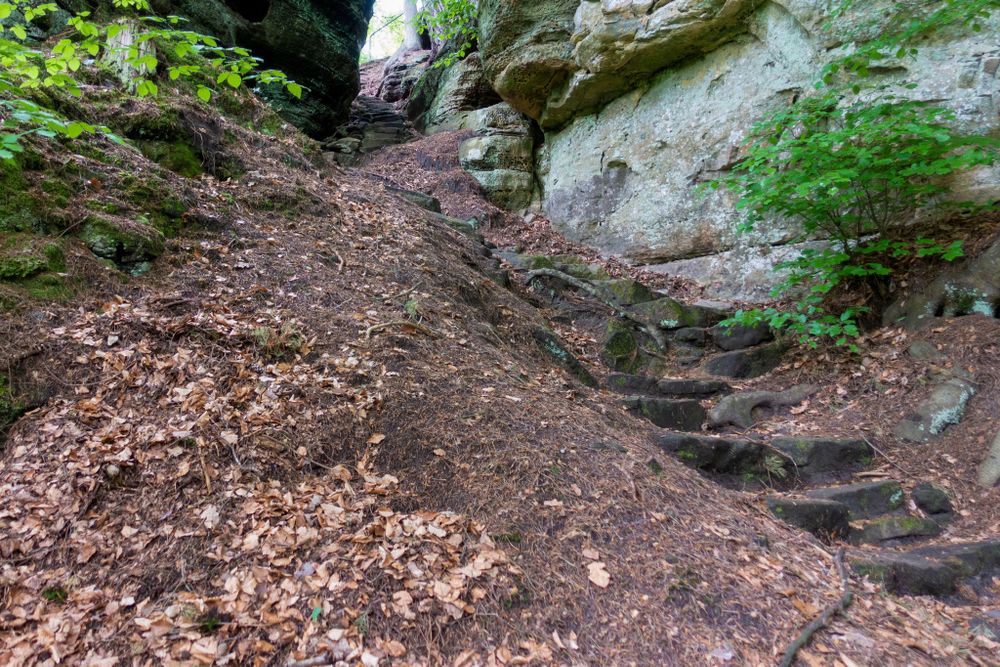
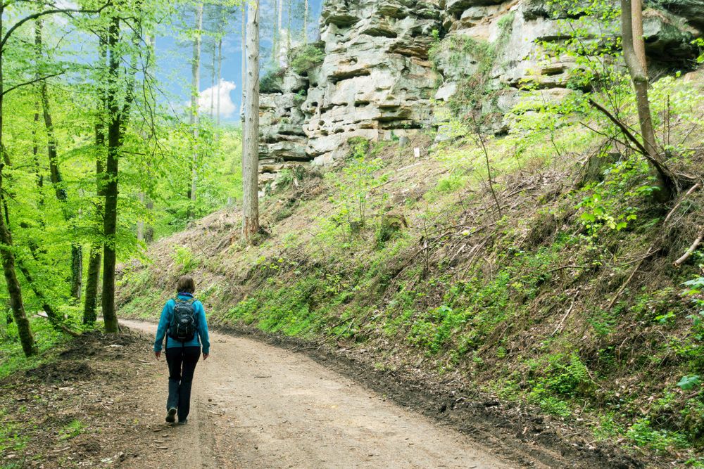
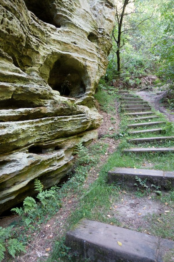
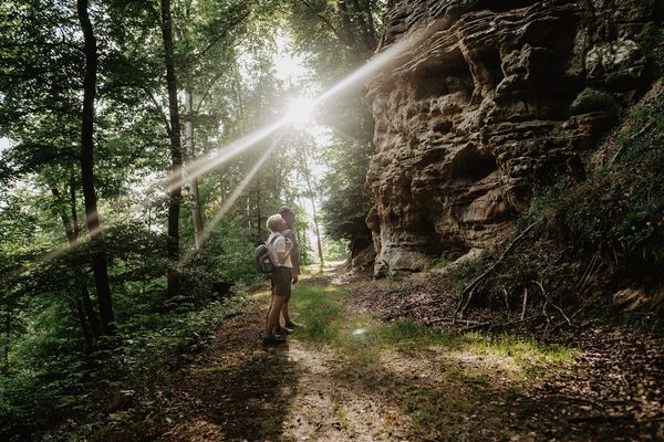
Deze kleine rondwandeling met veel bospaden leidt over aanvankelijk enigszins uitdagende trappen door een smalle spleet het dal in. Ter hoogte van de straatweg is het midden van het pad al bereikt. Vanaf hier gaat het pad weer omhoog, langs het imposante rotslandschap en terug naar Consdorf.
Aan het einde van de wandeling loopt het pad langs Bäckerei Jeitz. Hier kunt u kennismaken met traditioneel bakkersvakmanschap en regionale producten. Mocht de bakkerij gesloten zijn, dan kunt u bij de eigen Regiomat op elk moment versgebakken producten en regionale specialiteiten kopen.
Bewegwijzering

Wegbeschrijving
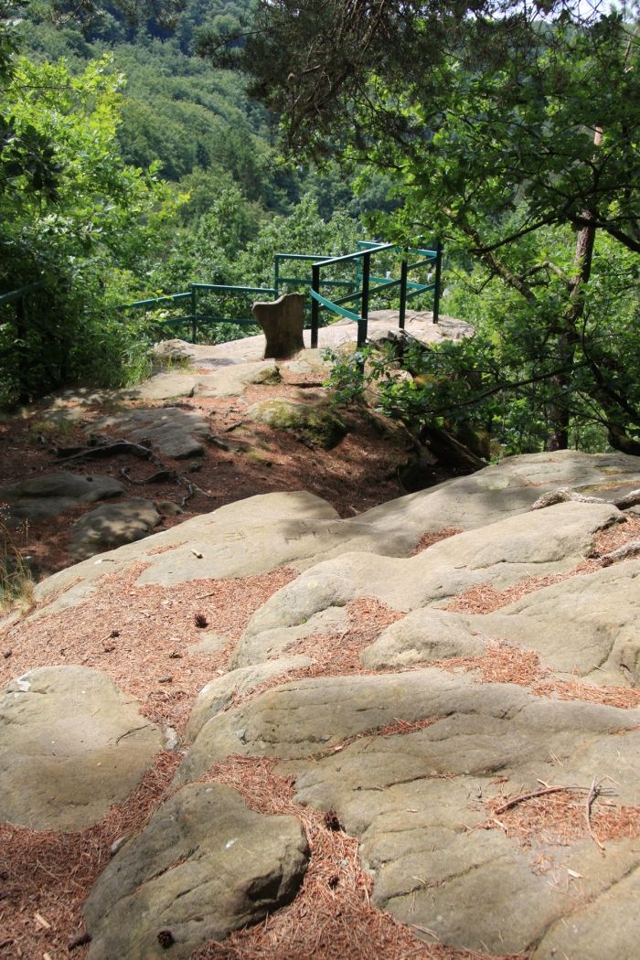
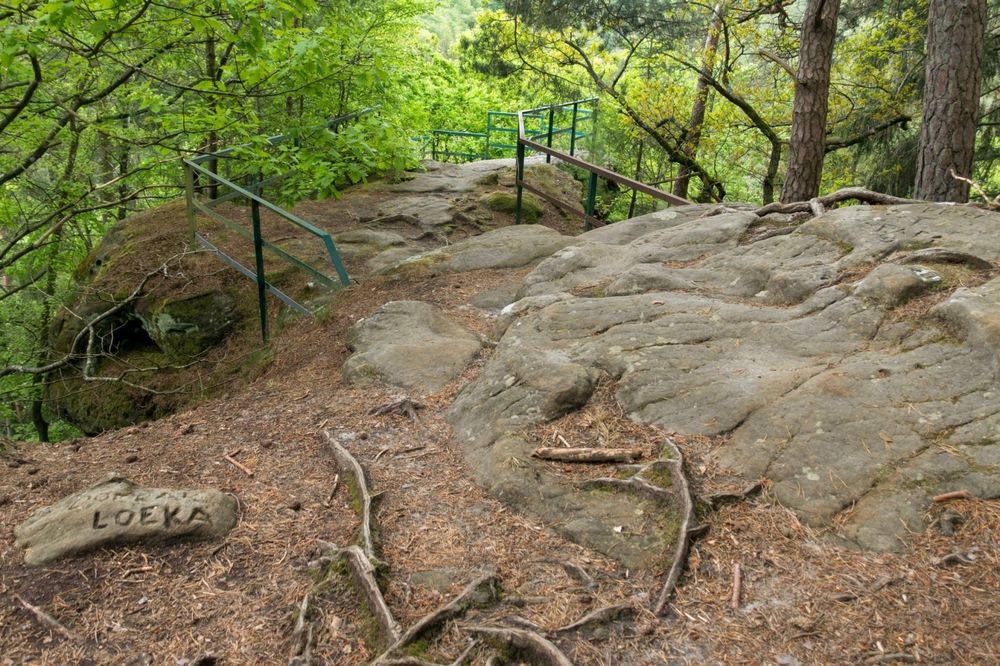
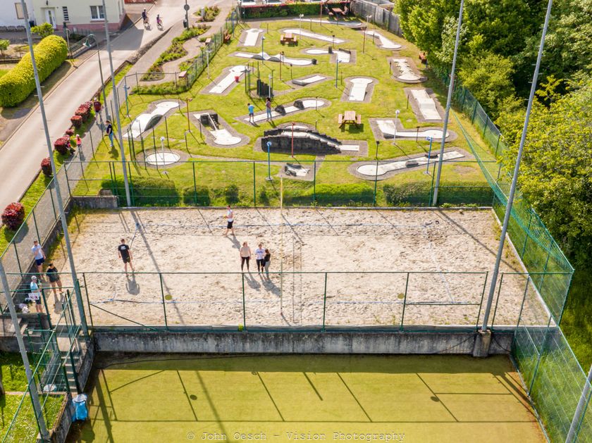
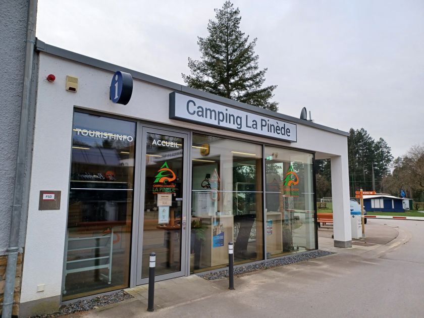
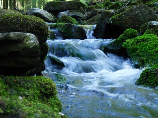
Na het oversteken van het vroegere areaal van een "Fliehburg" (een vesting uit de tijd van de Kelten en Romeinen) waar vandaag een camping met voetbalveld en speelplaats gevestigd is, leidt de wandeling in westelijke richting. Hier vinden we een ruige rotswand die een fantastisch uitzicht geeft op het pittoreske dal van de Consdorfse molen (Consdorfer Mühle). Nauwe trappen voeren door een smalle rotsspleet in het dal van de Consdorfse beek (Consdorfer Bach). Na de parking „Fluedebuer“ en het oversteken van de hoofdstraat voert het bospad een stukje stroomopwaarts langs de „Härdbaach“. Langs een smal pad leidt de weg langs een bron weer opnieuw opwaarts, deze wordt in de volksmond „Nidderbierchen“, kleine bron genoemd.
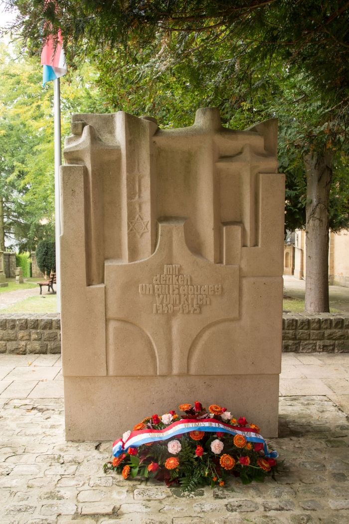
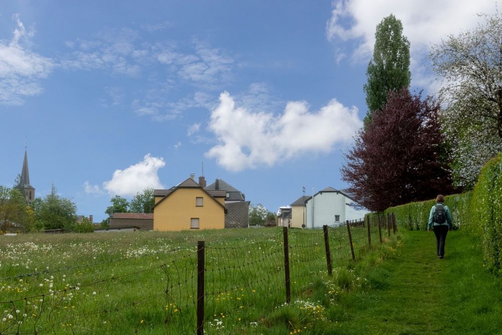
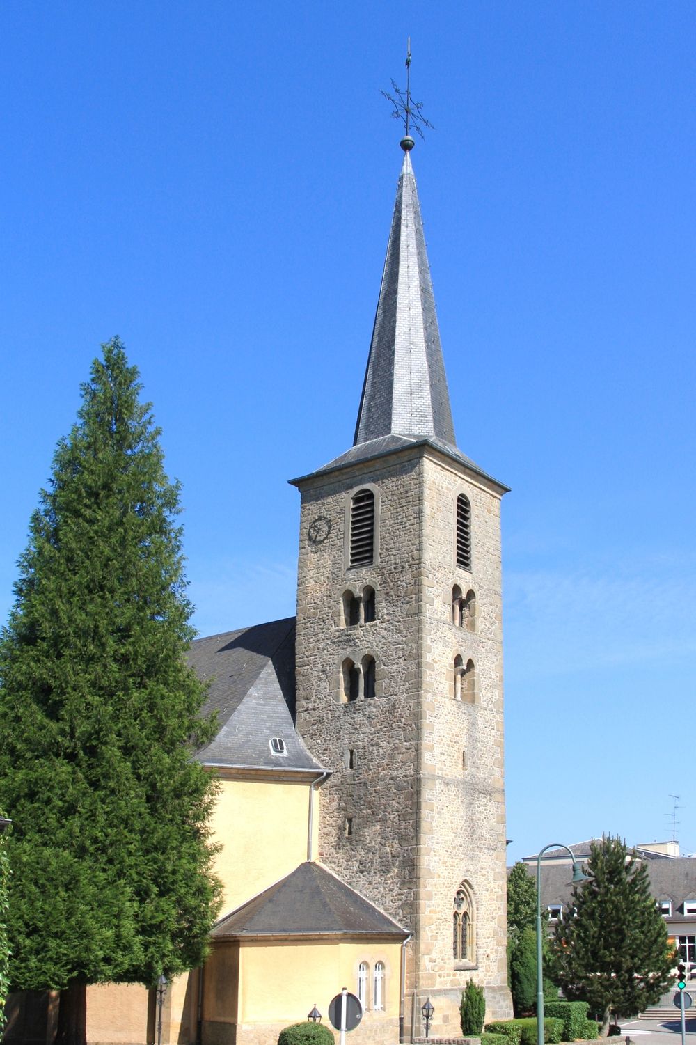
In het dorpscentrum springt de opvallende, als nationaal monument beschermde kerktoren onmiddelijk in het oog. Het monument naast de kerk herinnert aan de gevallen burgers van Consdorf tijdens de 2de wereldoorlog, maar ook aan de door de uitgebroken Typhusepidemie gestorven burgers in het jaar 1945. Na de basisschool, het seniorenhuis en het kerkhof in de straat „Burgkapp“, is het uitgangspunt weer bereikt.
Uitrusting
Stevige wandelschoenen en iets te drinken.
Aankomst
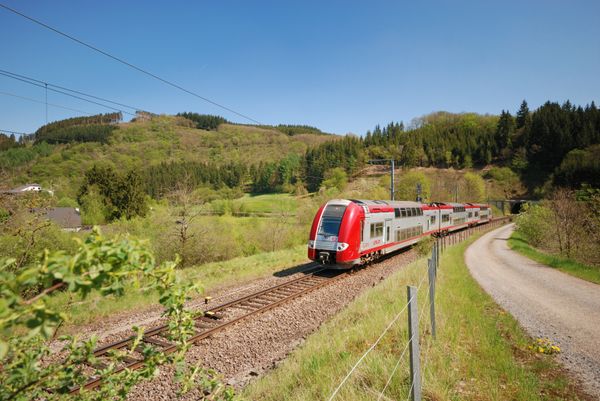
Dichtstbijzijnde bushalte: Consdorf, Schoul (500 m)
Parking:
Dichtstbijzijndeparkeerplaz: Camping (50 m)

 Deze website maakt gebruik van technologie en inhoud van het Outdooractive Platform.