©Jeniska Photography, Visit Luxembourg
Guttland Germany France

Guttland.Trail Fautelfiels

Vertrekpunt

Parking Neolithicum Blaschette - Beim Houbësch, 7390 Blaschette

Bestemming

Parking Neolithicum Blaschette - Beim Houbësch, 7390 Blaschette

Route
5,40 km
Duur
1:45 h
moeilijkheid
makkelijk
  • Voorwaarde
Hoogste punt
445 Hm
Laagste punt
341 Hm
Beklimming
153 Hm
Herkomst
152 Hm
Guttland.Trails V. G.

Beschrijving

Insider tip

Op ontdekkingstocht langs natuurwonderen die verhalen vertellen

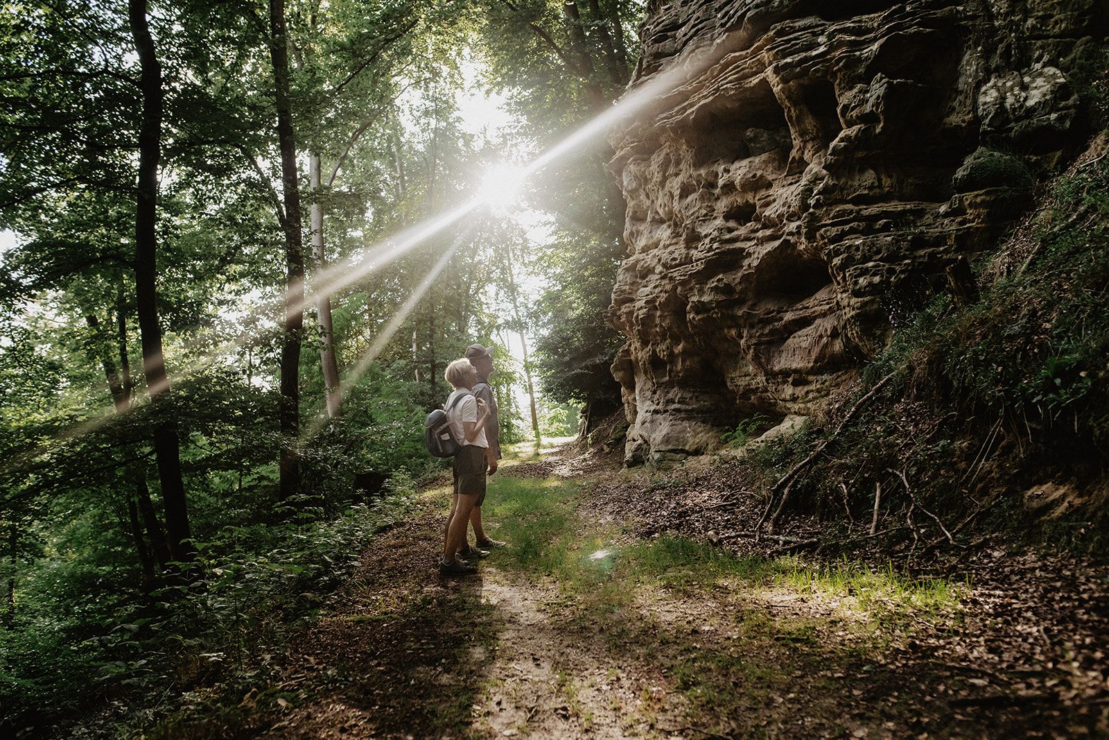
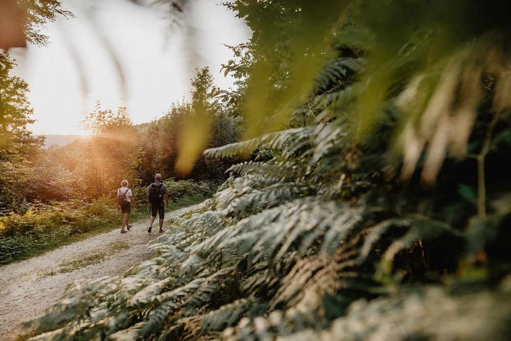
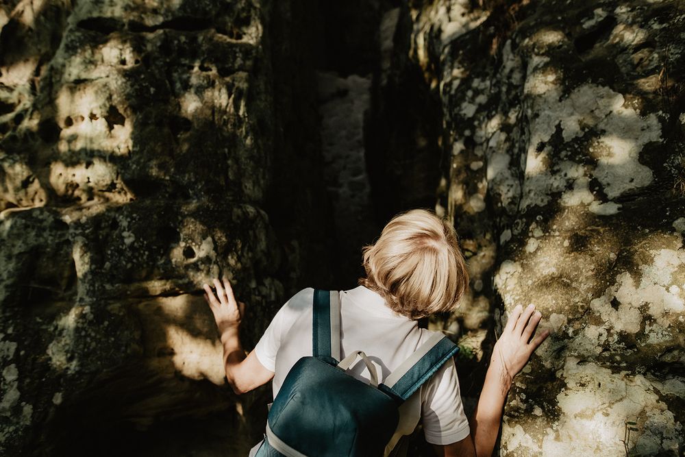
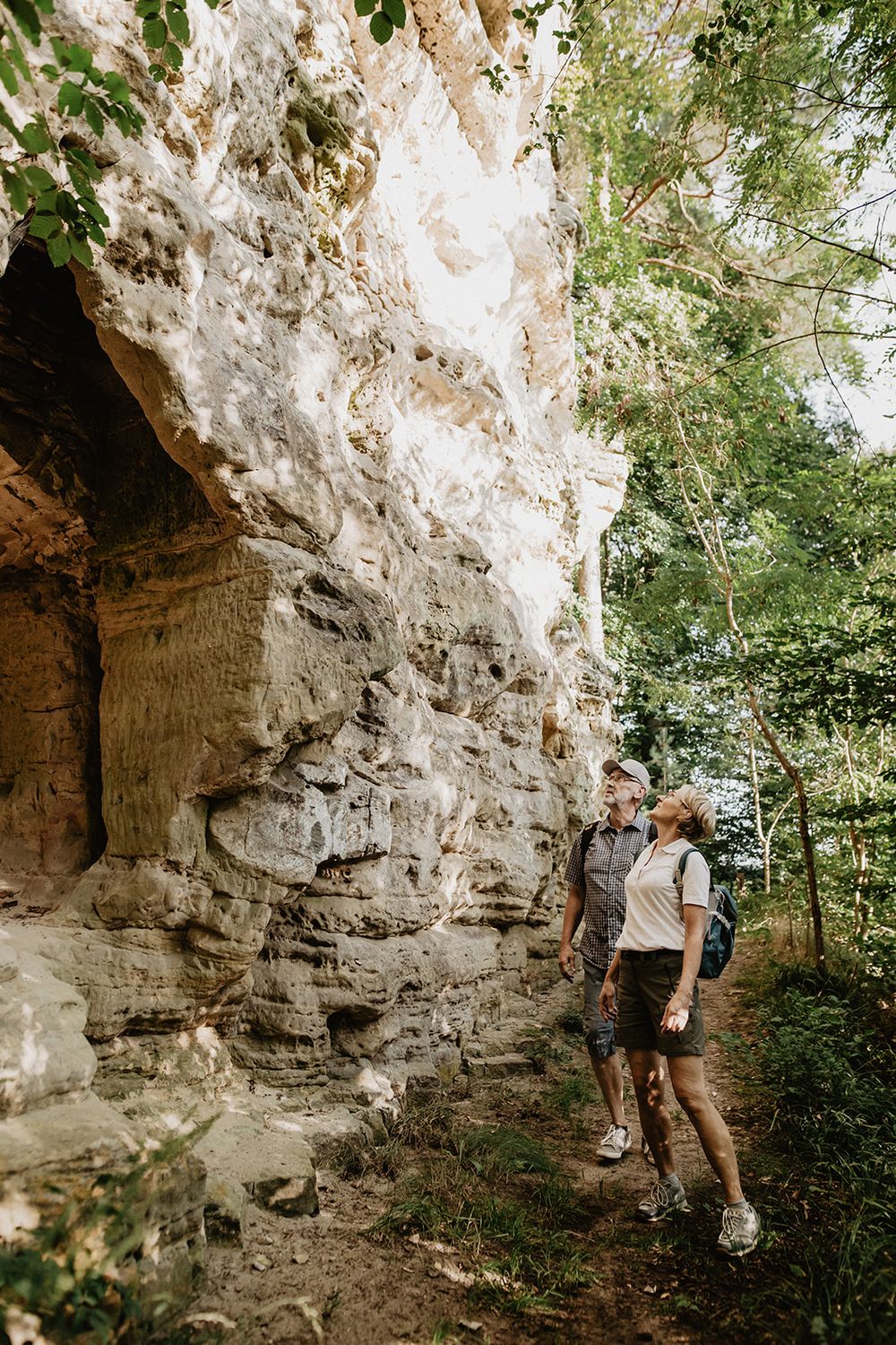
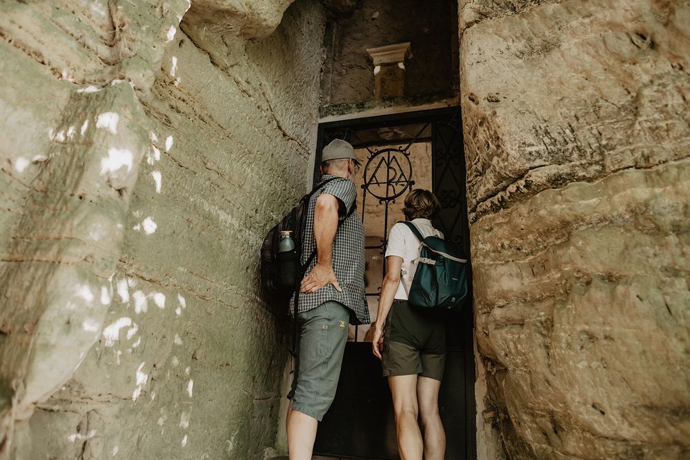
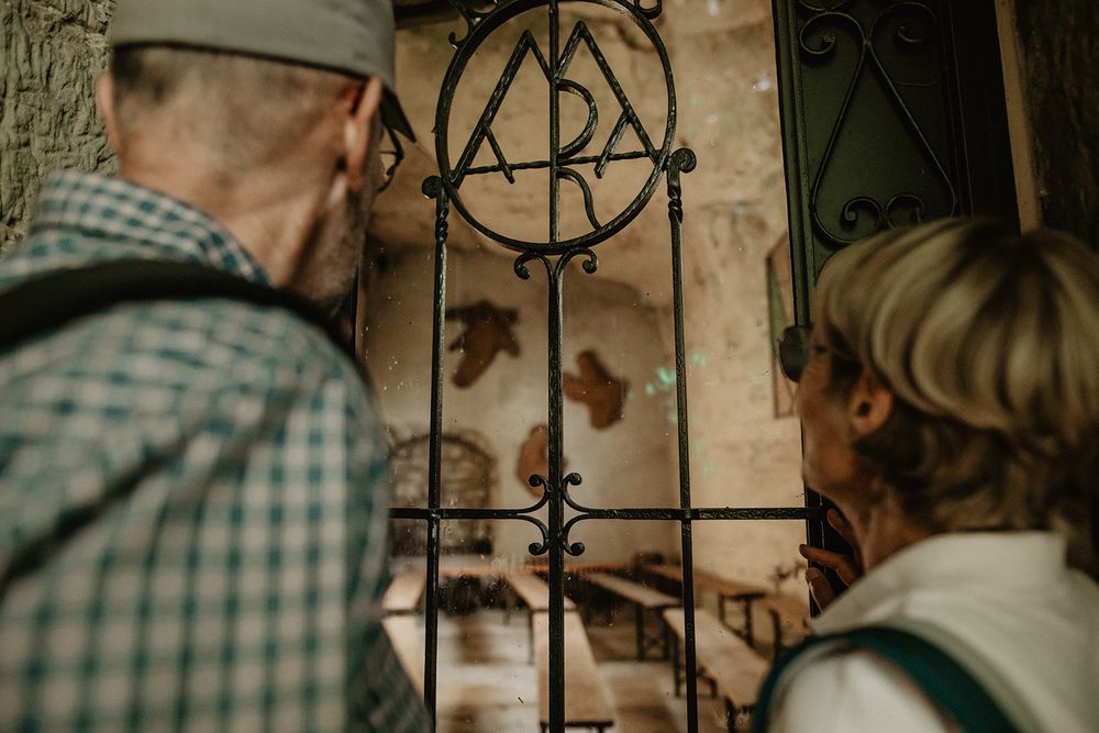
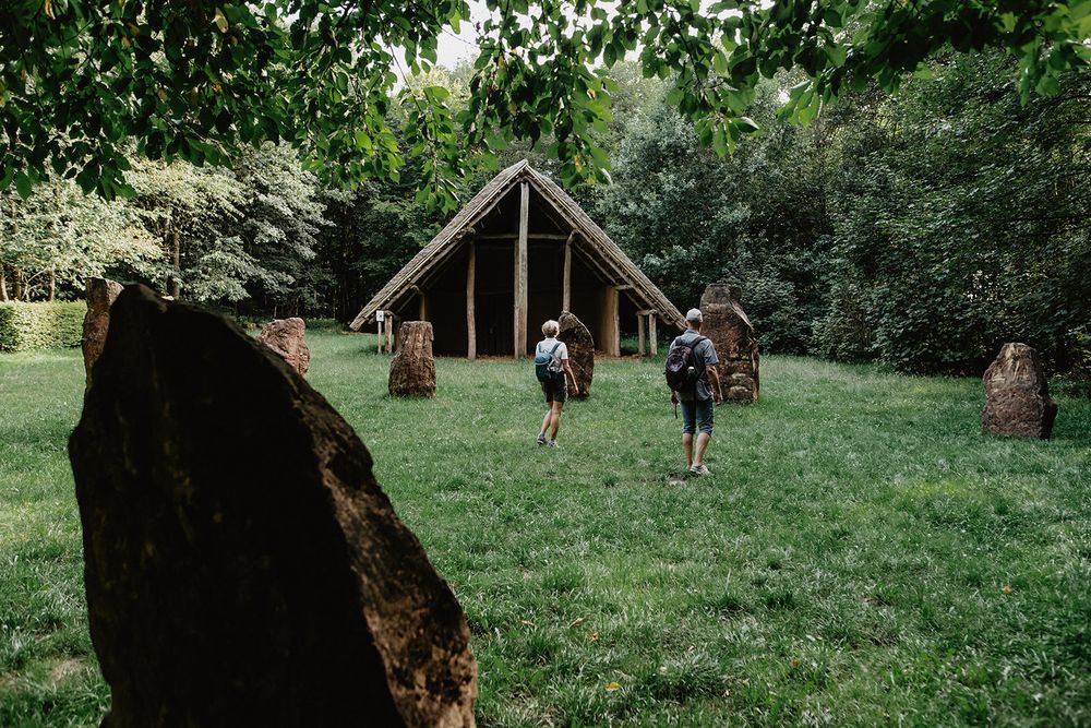
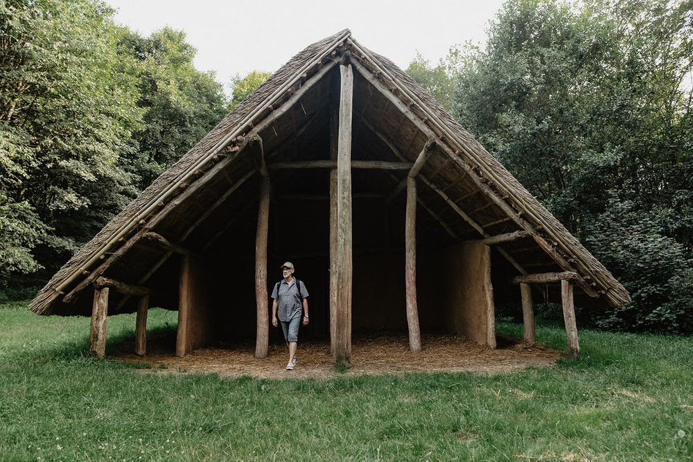
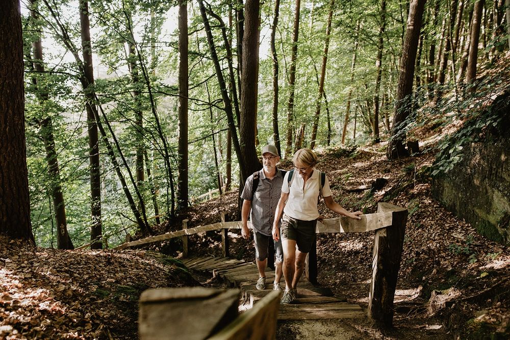
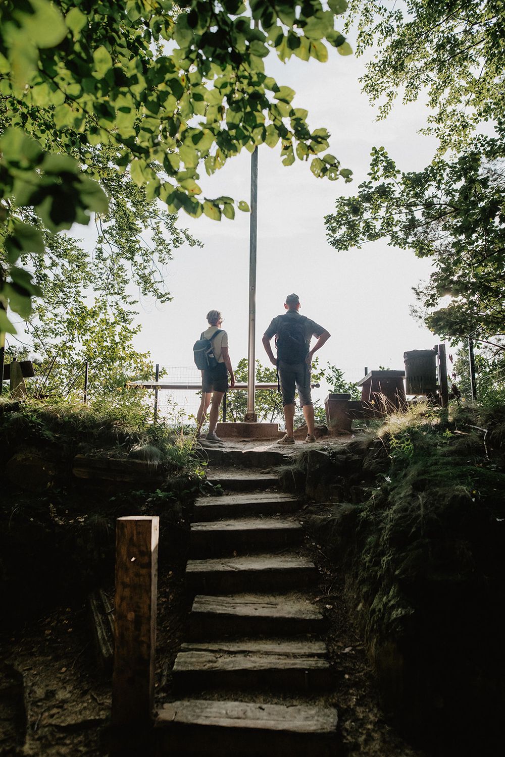
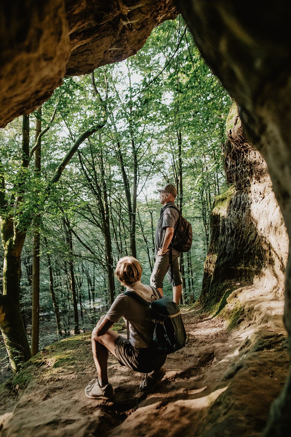
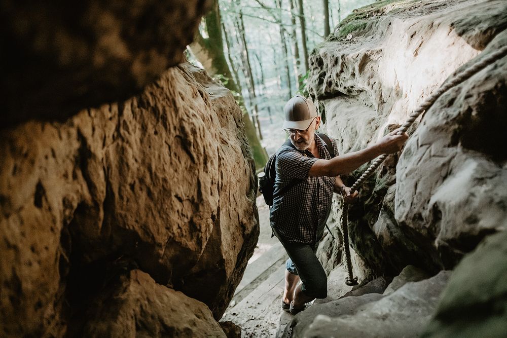
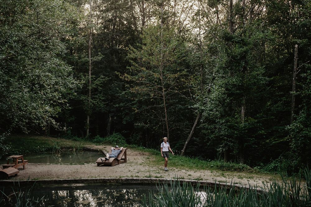
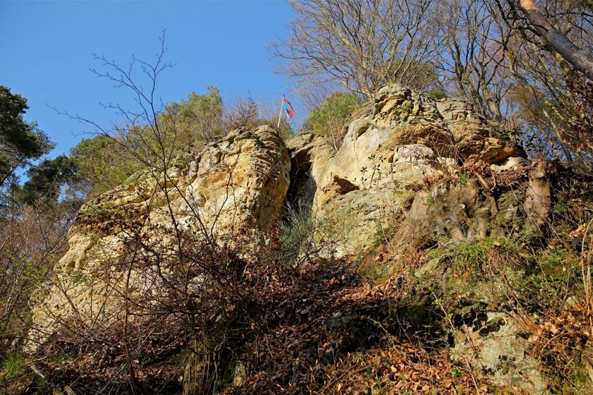
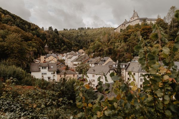
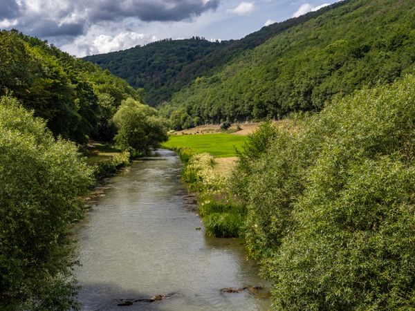
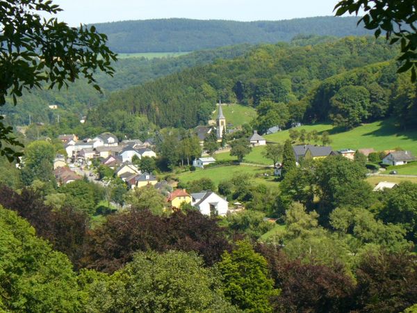
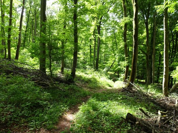
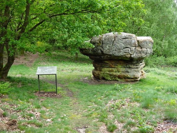
Beleef verborgen natuurschatten in dichte bossen die getuigen van vervlogen tijden. Langs het Neolithicum, over de markante rotsformatie Fautelfiels, die een kleine kapel verbergt en van bovenaf een indrukwekkend uitzicht over het Alzette-dal biedt, langs de rotsgrot Gourmangslay tot aan een idyllische vijver die uitnodigt tot een ontspannen pauze.

> Aanbevolen looprichting: Voor de beste wandelervaring raden we aan de route met de klok mee te starten in de richting van de neolithische site.
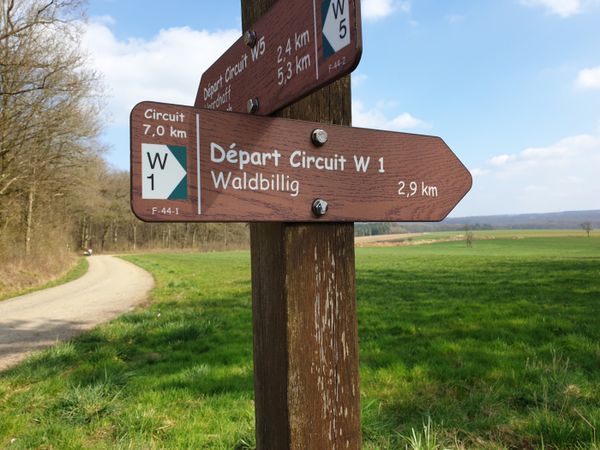
Hoogtepunten langs de tocht

Guttland.Trail Fautelfiels

  • Kapel Fautelfiels
    Kapel Fautelfiels
    Meer informatie

Vergelijkbare wandeltochten

©ORT Sud
Rondwandelroutes
Parc Le'h - wandelpad voor kinderen
Afstand: 1,46 km
Duur: 0:25 h
Moeilijkheidsgraad: makkelijk
Meer informatie
©Visit Luxembourg
Thematische routes
Didactische pad over bijen tussen Waldbillig en Christnach
Afstand: 4,00 km
Duur: 1:30 h
Moeilijkheidsgraad: makkelijk
Meer informatie
©Visit Éislek, Visit Luxembourg
Thematische routes
Naturpur? - Kleine Tocht
Afstand: 1,88 km
Duur: 0:35 h
Moeilijkheidsgraad: makkelijk
Meer informatie
©Visit Luxembourg
Rondwandelroutes
Rondwandelroute Mensdorf
Afstand: 4,49 km
Duur: 1:20 h
Moeilijkheidsgraad: makkelijk
Meer informatie
©©Visit Éislek
Éischter Bëschrou
Afstand: 4,33 km
Duur: 1:10 h
Moeilijkheidsgraad: makkelijk
Meer informatie
©Pancake! Photographie, Visit Guttland
Thematische routes
Meditatieweg van Rindschleiden
Afstand: 1,49 km
Duur: 0:25 h
Moeilijkheidsgraad: makkelijk
Meer informatie
©Anna Katina, Visit Luxembourg
Rondwandelroutes
Auto-pédestre wandelroute Remich
Afstand: 9,76 km
Duur: 2:30 h
Moeilijkheidsgraad: makkelijk
Meer informatie
©Visit Luxembourg
Langeafstandswandelroutes
33 Station to station Dippach-Reckange - Leudelange
Afstand: 8,52 km
Duur: 2:15 h
Moeilijkheidsgraad: makkelijk
Meer informatie
©Jeniska photography, DGT
Comfort-wandelpad Mondercange
Afstand: 5,32 km
Duur: 1:30 h
Moeilijkheidsgraad: makkelijk
Meer informatie
outdooractive Deze website maakt gebruik van technologie en inhoud van het Outdooractive Platform.