Vertrekpunt

Haller: Parking Rue du Hallerbach

Bestemming

Haller: Parking Rue du Hallerbach

Route
6,81 km
Duur
1:47 h
moeilijkheid
makkelijk
  • Voorwaarde
Hoogste punt
370 Hm
Laagste punt
295 Hm
Beklimming
96 Hm
Herkomst
96 Hm
Rondwandelroutes Visit Luxembourg

Beschrijving

Kinderen & Gezin Schilderachtig
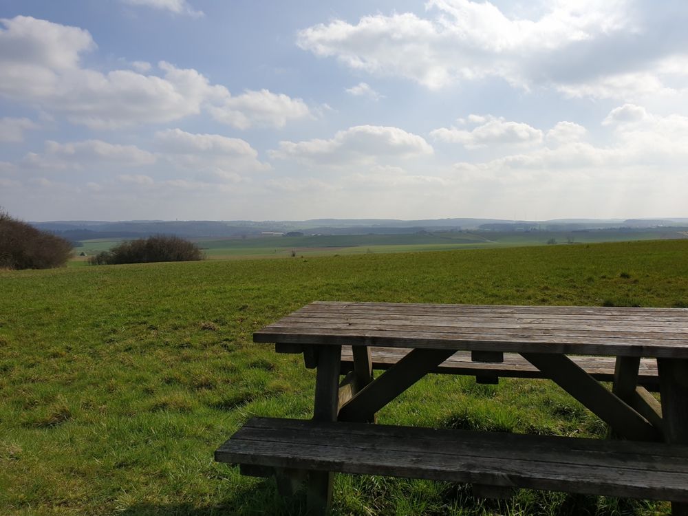
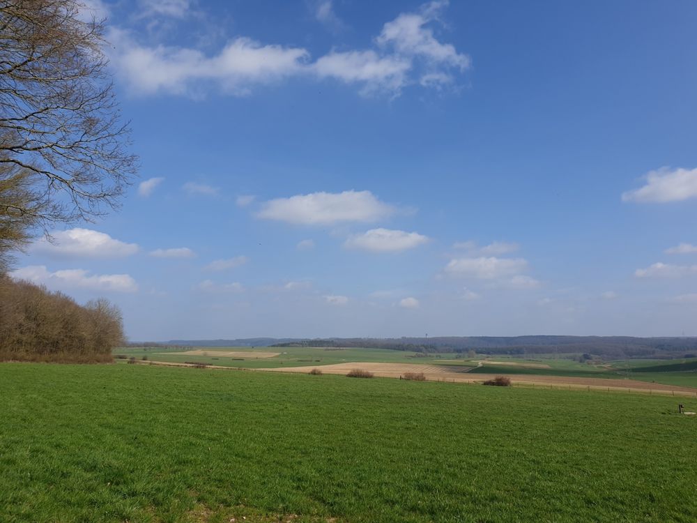
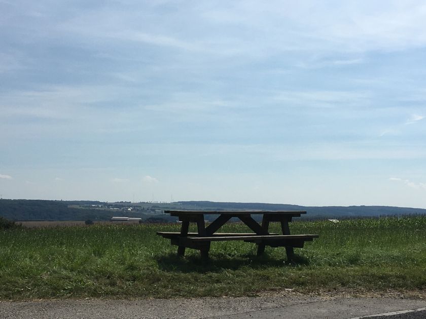
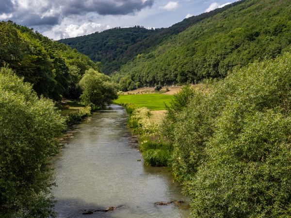
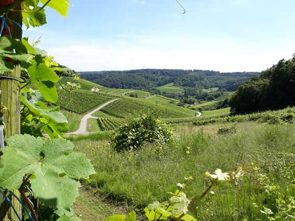
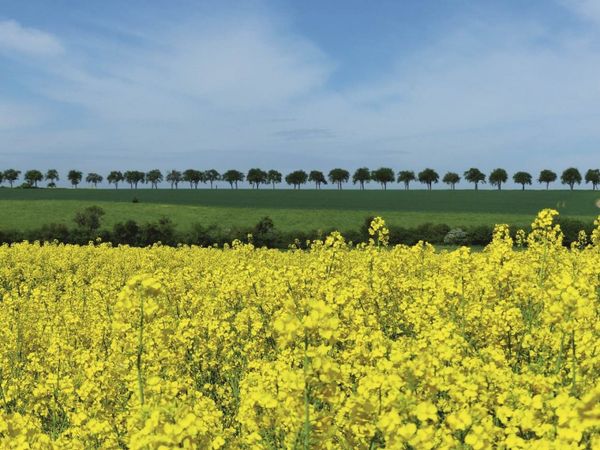
Goed weer wandelpad met panoramisch uitzicht over het Waldbillig-plateau.

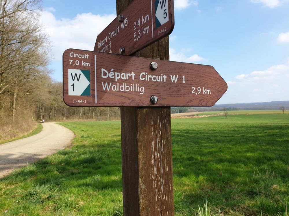
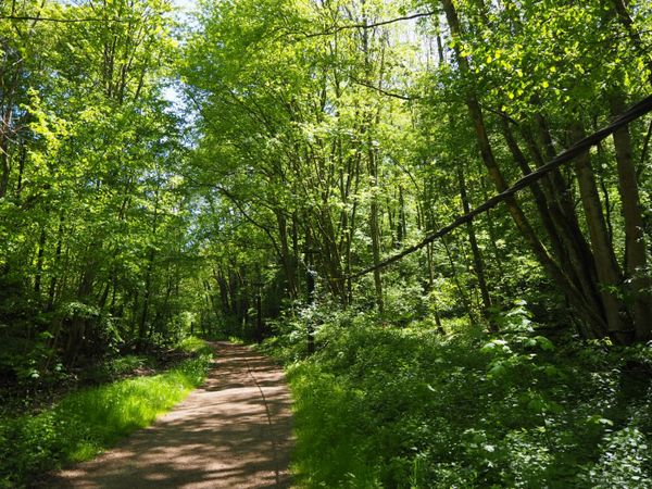
Deze 6,8 km lange wandelroute loopt voornamelijk over verharde paden en is daarmee een van de weinige wandelpaden in de regio, die ook geschikt is voor kinderwagens (maar niet voor rolstoelgebruikers!). De route langs uitgestrekte velden en bosranden met een weids uitzicht over het plateau tussen Waldbillig en Haller nodigt u uit om te gaan wandelen, vooral bij mooi weer.


Hoogtepunten langs de tocht

Lokale wandelroute - W1

  • Picknickplaats Haller
    Picknickplaats Haller
    Meer informatie

Vergelijkbare wandeltochten

©ORT Sud
Rondwandelroutes
Parc Le'h - wandelpad voor kinderen
Afstand: 1,46 km
Duur: 0:25 h
Moeilijkheidsgraad: makkelijk
Meer informatie
©Administration Communcale de Mondorf-les-Bains
Rondwandelroutes
Auto-pédestre wandelroute Mondorf-les-Bains
Afstand: 10,38 km
Duur: 2:40 h
Moeilijkheidsgraad: makkelijk
Meer informatie
©Visit Luxembourg
Rondwandelroutes
Rondwandelroute Mensdorf
Afstand: 4,49 km
Duur: 1:20 h
Moeilijkheidsgraad: makkelijk
Meer informatie
©Visit Luxembourg
Rondwandelroutes
Lokale wandelroute - C7
Afstand: 6,83 km
Duur: 1:45 h
Moeilijkheidsgraad: makkelijk
Meer informatie
©Visit Luxembourg
Langeafstandswandelroutes
33 Station to station Dippach-Reckange - Leudelange
Afstand: 8,52 km
Duur: 2:15 h
Moeilijkheidsgraad: makkelijk
Meer informatie
©Visit Luxembourg
Rondwandelroutes
Circular walk Machtum E
Afstand: 3,11 km
Duur: 0:57 h
Moeilijkheidsgraad: makkelijk
Meer informatie
©Visit Luxembourg
Circular walk "
Afstand: 1,03 km
Duur: 0:17 h
Moeilijkheidsgraad: makkelijk
Meer informatie
©Visit Luxembourg
Bosnatuurpad Rackeweier
Afstand: 3,58 km
Duur: 0:55 h
Moeilijkheidsgraad: makkelijk
Meer informatie
©Visit Luxembourg
Rondwandelroutes
Lokale wandelroute - F3
Afstand: 2,69 km
Duur: 0:50 h
Moeilijkheidsgraad: makkelijk
Meer informatie
outdooractive Deze website maakt gebruik van technologie en inhoud van het Outdooractive Platform.