Circular routes Visit Luxembourg
Description
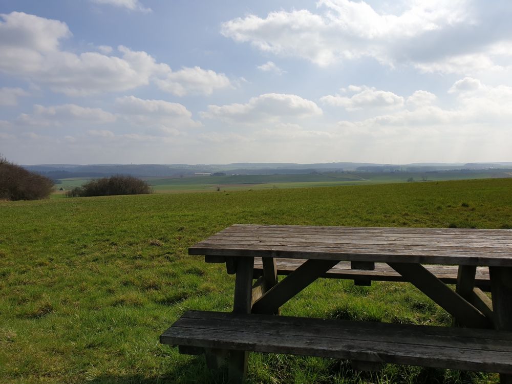
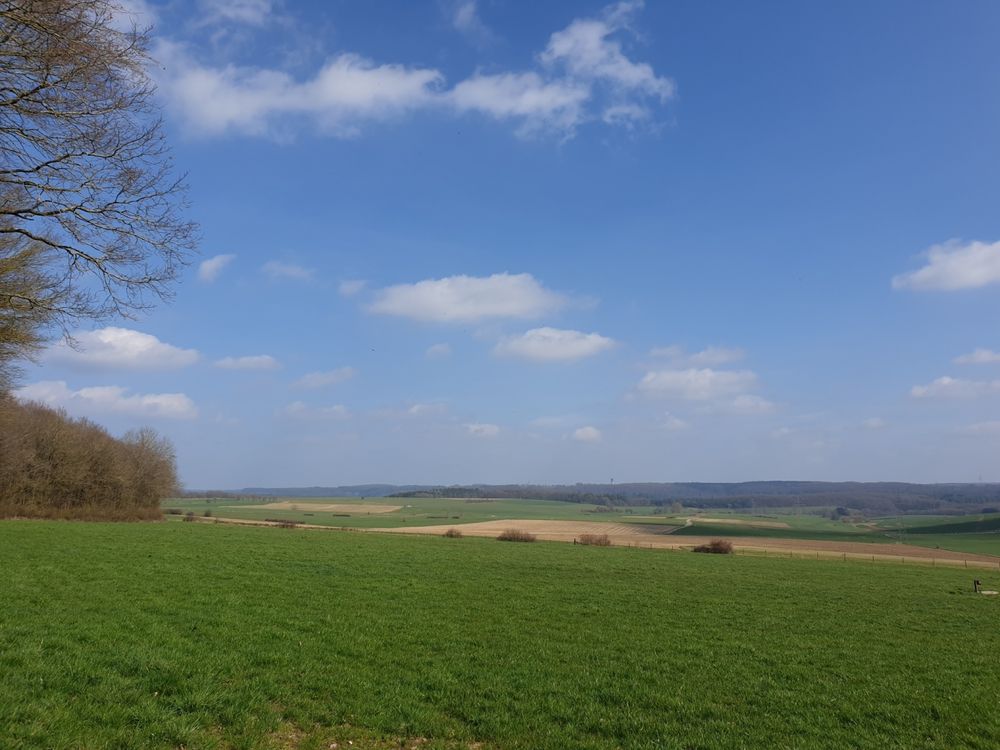
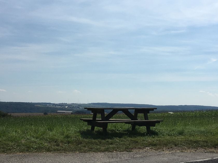
Good-weather hiking route with panoramic views over the Waldbillig plateau.
This 6.8 km long hiking route mainly runs over paved paths and is therefore one of the few hiking routes in the region suitable also for strollers (but not for wheelchairs!). The route along extensive fields and forest edges with wide views over the plateau between Waldbillig and Haller invites especially to go hiking in good weather.
The route takes you past the vending machine Akerblumm, which sells regional produce directly from the producer, 24 hours a day.
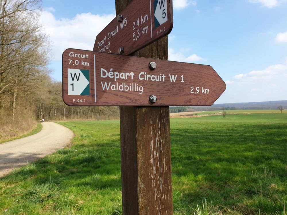
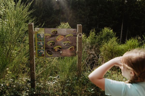
Signposting

Equipment
Sturdy footwear and something to drink.
Journey
Public transport:
Parking:
Nearest bus stop: Haller, Beim Basseng (200m)
Parking:
A parking lot is located directly at the starting point.


 This website uses technology and content from the Outdooractive Platform.