©Visit Luxembourg

Lokale wandelroute GM4 - Pärdsmaart

Vertrekpunt

Busstation naast het cultuurcentrum Machera

Bestemming

Busstation naast het cultuurcentrum Machera

Route
4,62 km
Duur
1:30 h
moeilijkheid
makkelijk
  • Voorwaarde
Hoogste punt
192 Hm
Laagste punt
139 Hm
Beklimming
73 Hm
Herkomst
73 Hm
Visit Luxembourg

Beschrijving

Schilderachtig Stop voor verfrissingen Hondvriendelijk
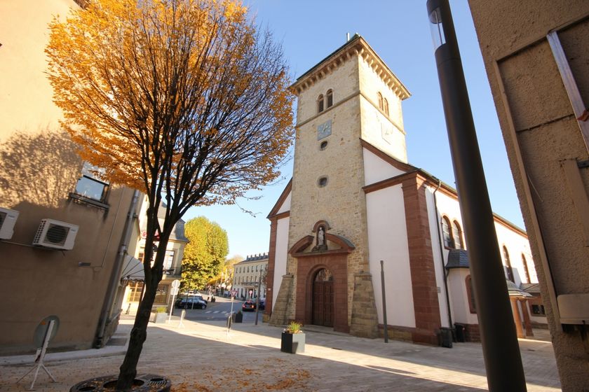
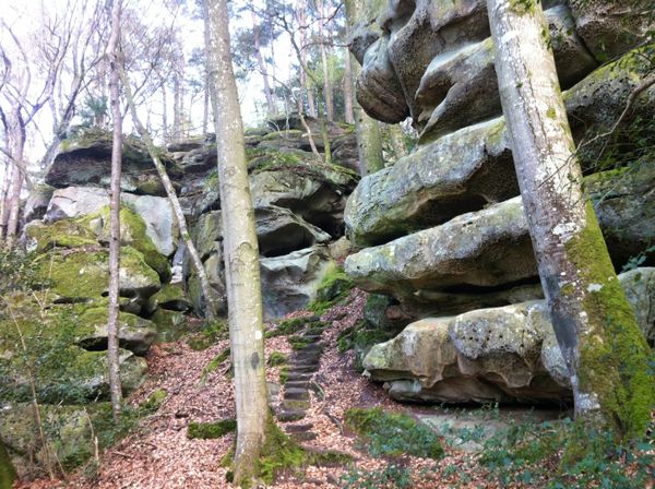
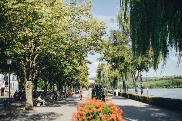
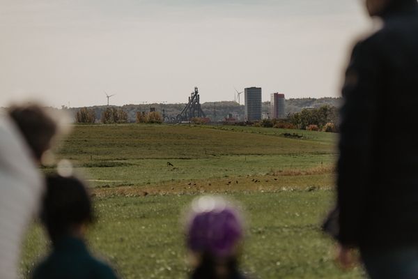
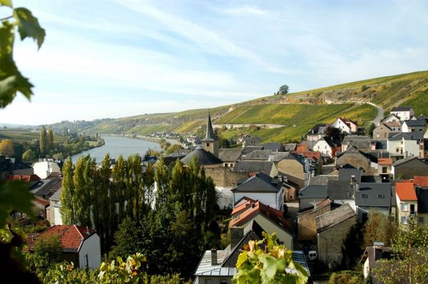
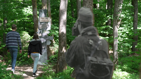
Lokale wandelroute in Grevenmacher

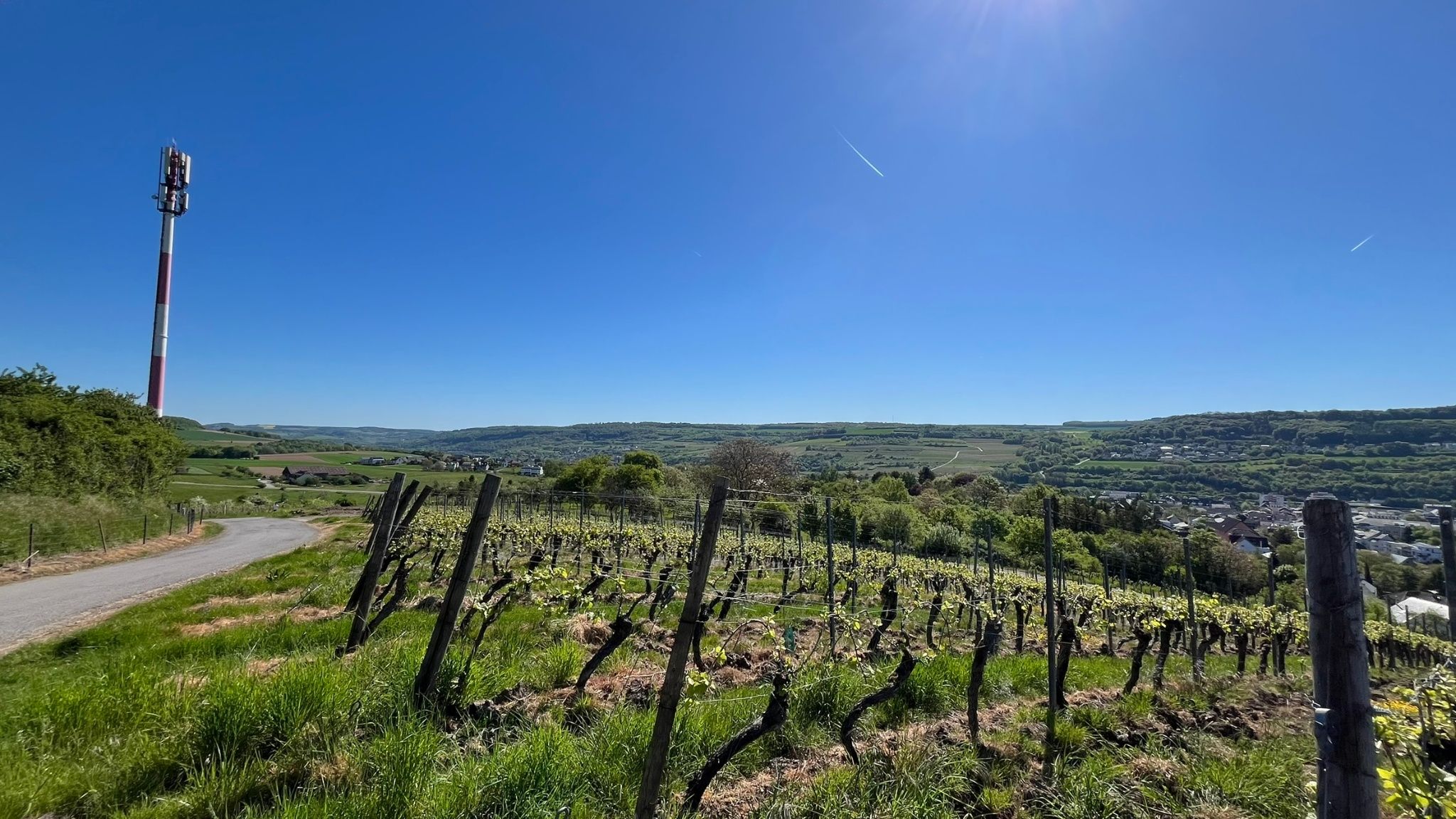
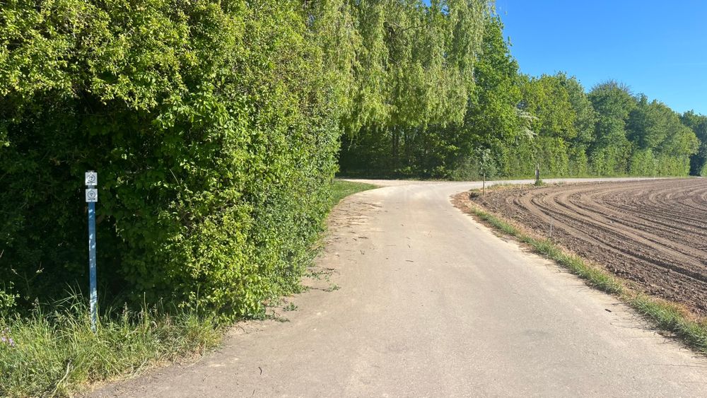
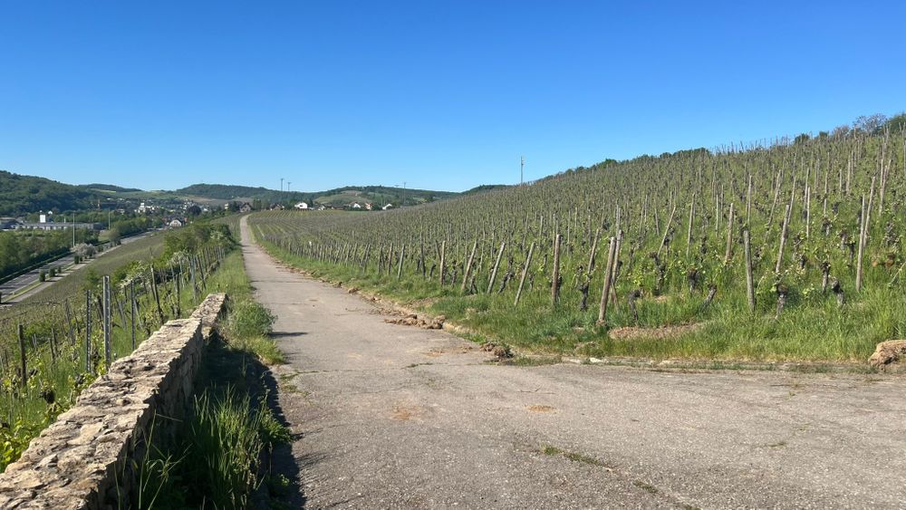
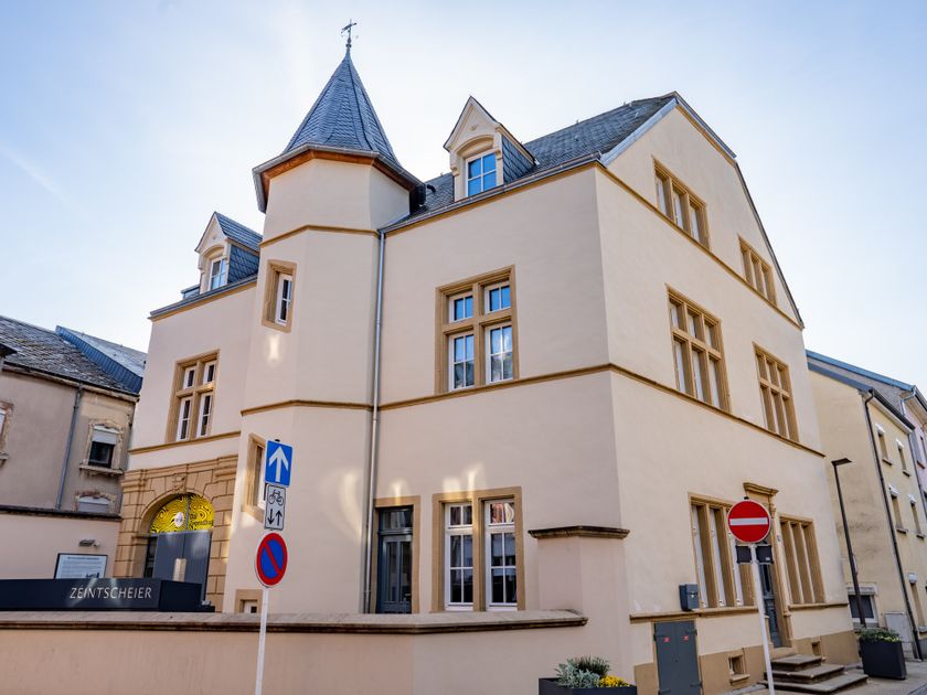
De lokale wandelroute begint bij het busstation en loopt langs het marktplein door de rue de Münschecker naar de “Päerdsmaart”, waar vroeger paarden werden verhandeld. Op de hoogte van “op Flohr” heeft men uitzicht op landbouwgronden en op de wijngaarden van de “Leitschberg”. Van hieruit heeft men ook een goed overzicht over het havengebied van Mertert. Langs het sportstadion komt men in de rue de Trèves en vervolgens terug naar het vertrekpunt.

Hoogtepunten langs de tocht

Lokale wandelroute GM4 - Pärdsmaart

  • Meer informatie
  • De Parochiekerk van Sint-Laurent
    De Parochiekerk van Sint-Laurent
    Meer informatie
  • ©Ville de Grevenmacher
    De blannen Theis
    De blannen Theis
    Meer informatie
  • Meer informatie
  • Meer informatie

Vergelijkbare wandeltochten

©ORT Sud
Rondwandelroutes
Parc Le'h - wandelpad voor kinderen
Afstand: 1,46 km
Duur: 0:25 h
Moeilijkheidsgraad: makkelijk
Meer informatie
©Visit Luxembourg
Thematische routes
Didactische pad over bijen tussen Waldbillig en Christnach
Afstand: 4,00 km
Duur: 1:30 h
Moeilijkheidsgraad: makkelijk
Meer informatie
©Administration Communcale de Mondorf-les-Bains
Rondwandelroutes
Auto-pédestre wandelroute Mondorf-les-Bains
Afstand: 10,38 km
Duur: 2:40 h
Moeilijkheidsgraad: makkelijk
Meer informatie
©Visit Éislek, Visit Luxembourg
Thematische routes
Naturpur? - Kleine Tocht
Afstand: 1,88 km
Duur: 0:35 h
Moeilijkheidsgraad: makkelijk
Meer informatie
©Visit Luxembourg
Rondwandelroutes
Rondwandelroute Mensdorf
Afstand: 4,49 km
Duur: 1:20 h
Moeilijkheidsgraad: makkelijk
Meer informatie
©Visit Luxembourg
Rondwandelroutes
Lokale wandelroute - C7
Afstand: 6,83 km
Duur: 1:45 h
Moeilijkheidsgraad: makkelijk
Meer informatie
©©Visit Éislek
Éischter Bëschrou
Afstand: 4,33 km
Duur: 1:10 h
Moeilijkheidsgraad: makkelijk
Meer informatie
©Pancake! Photographie, Visit Guttland
Thematische routes
Meditatieweg van Rindschleiden
Afstand: 1,49 km
Duur: 0:25 h
Moeilijkheidsgraad: makkelijk
Meer informatie
©Visit Luxembourg
Langeafstandswandelroutes
33 Station to station Dippach-Reckange - Leudelange
Afstand: 8,52 km
Duur: 2:15 h
Moeilijkheidsgraad: makkelijk
Meer informatie
outdooractive Deze website maakt gebruik van technologie en inhoud van het Outdooractive Platform.