Rondwandelroutes Visit Luxembourg
Beschrijving
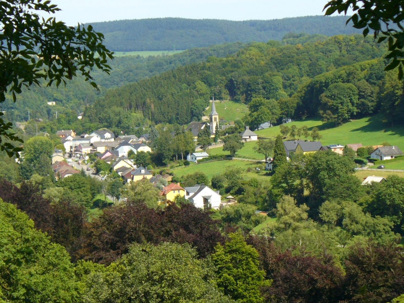
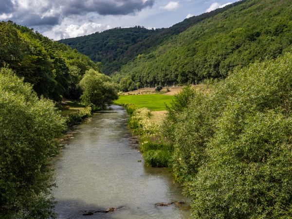
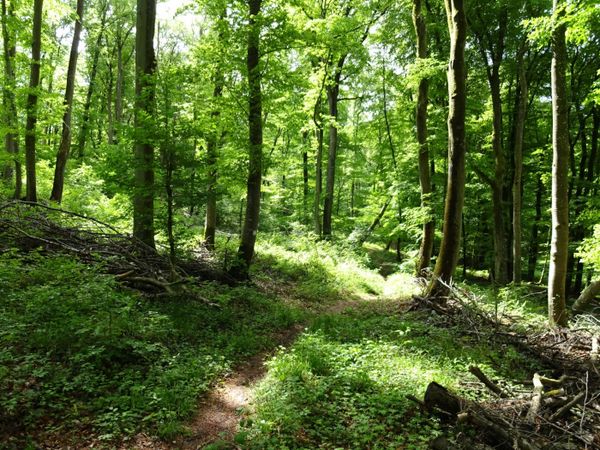
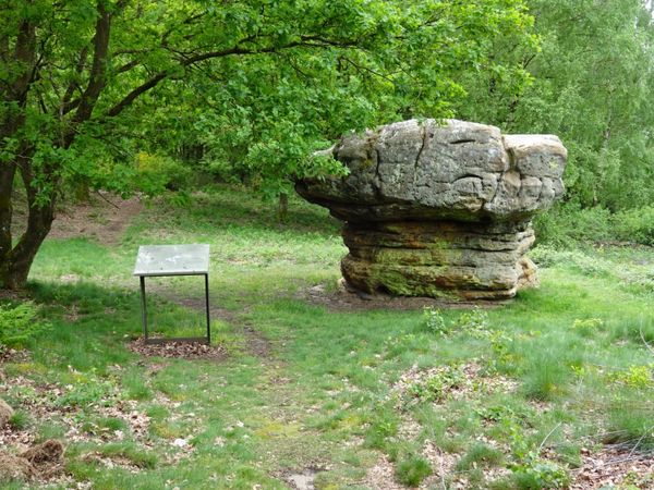
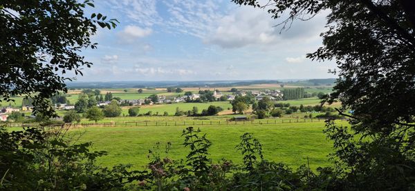
Een ontspannend pad door het dal van de rivier de Sûre en dicht bos met twee beklimmingen.
Het bospad loopt langs de rivier de Sûre naar het dorp Moestroff. Daar gaat het de heuvel Schoofsbierg omhoog en voert over het hoogteplateau terug naar Reisdorf. De wandeling gaat voornamelijk door dicht bos. Ontspanning gegarandeerd!
Bewegwijzering

Uitrusting
Stevige wandelschoenen en iets te drinken.
Aankomst
Openbaar vervoer:
Parking:
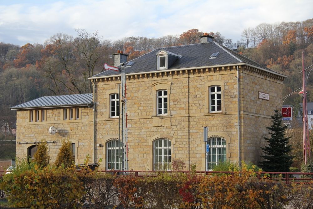
Dichtstbijzijnde bushalte: Reisdorf, Bei der Gare (50 m)
Parking:
Dichtstbijzijnde parkeerplaats: Op der Gare (100 m)


 Deze website maakt gebruik van technologie en inhoud van het Outdooractive Platform.