Description
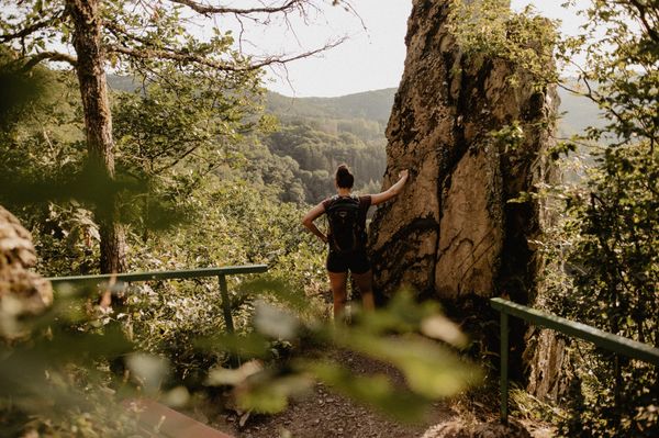
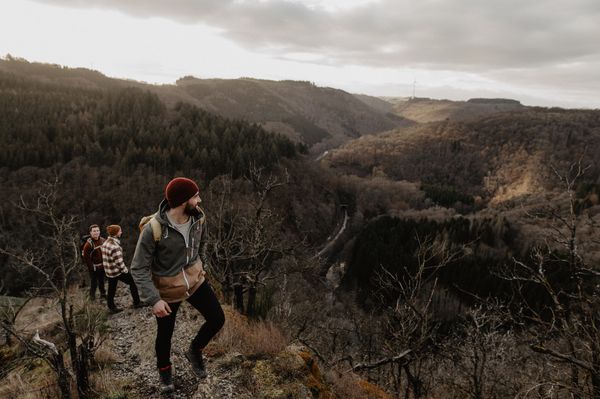
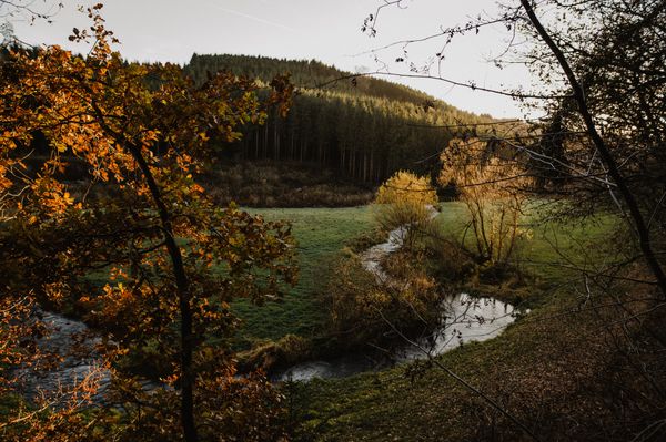
Enchanting stream valleys, spectacular rock landscapes, and romantic castles characterize Route 3 of the Mullerthal Trail.
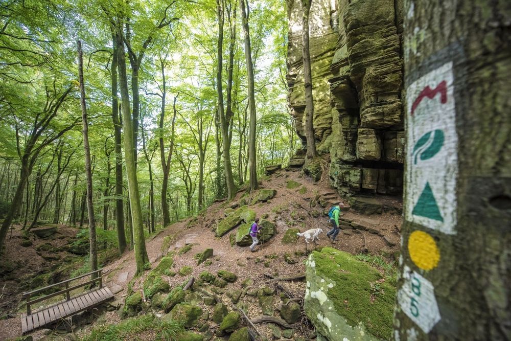
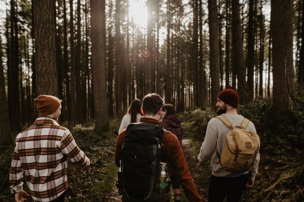
The approximately 112 km long Mullerthal Trail consists of three loops (Route 1, Route 2, and Route 3). Route 3 is characterized especially by enchanting stream valleys and romantic castles. It can be hiked in two day stages.
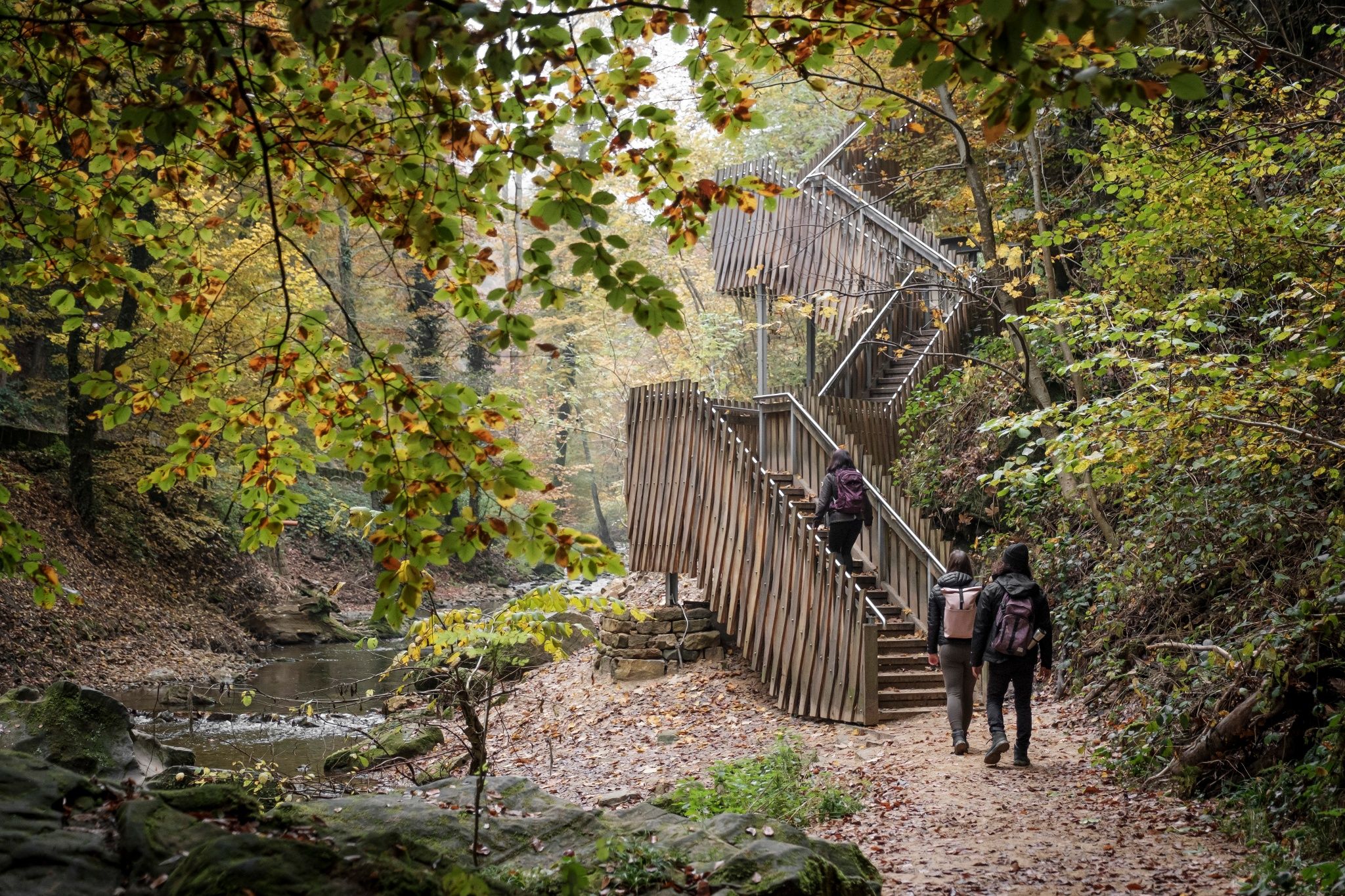
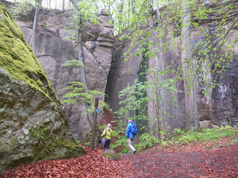
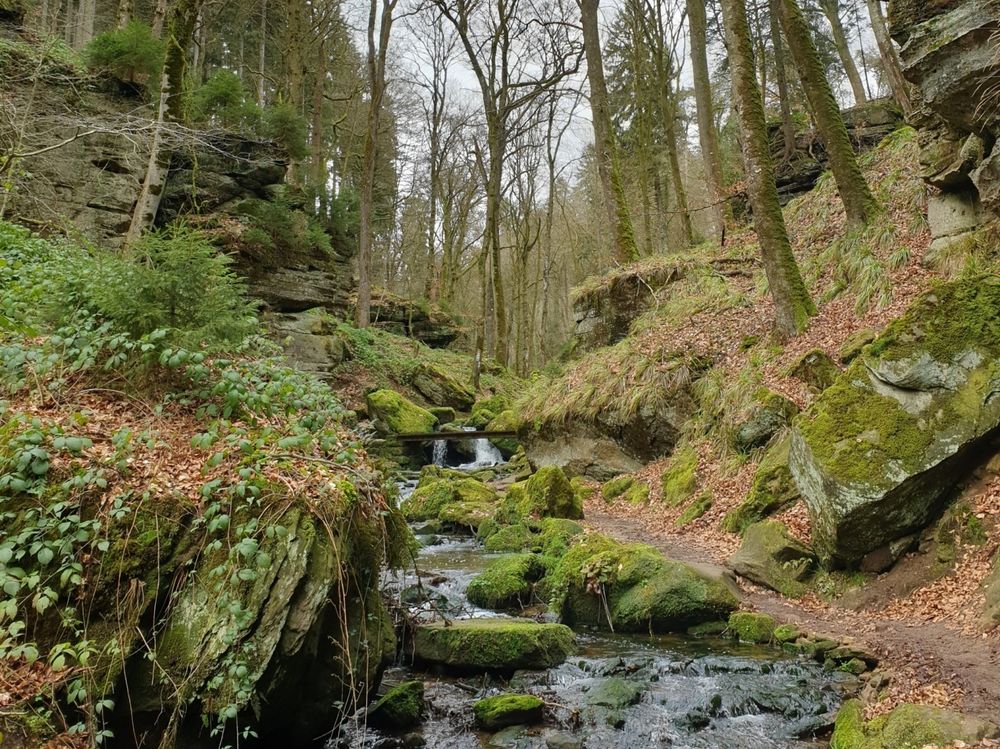
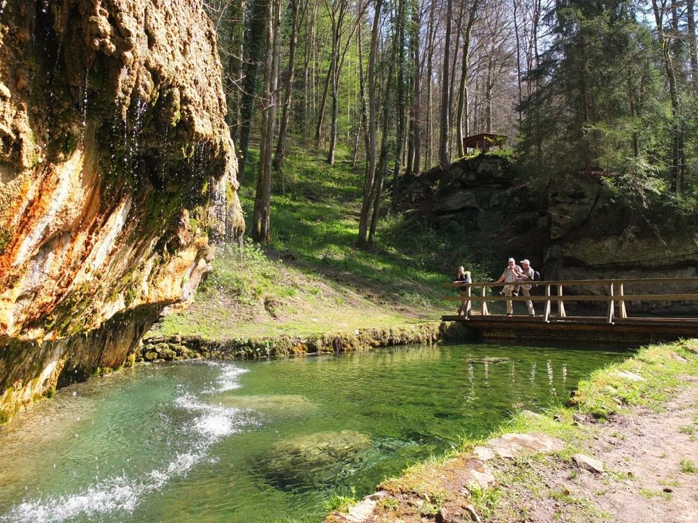
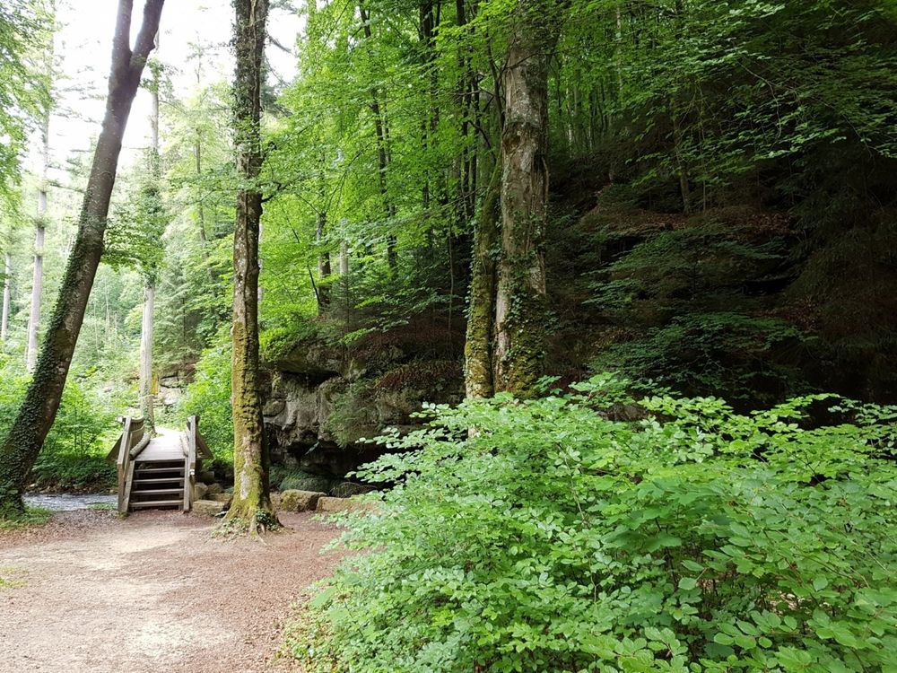
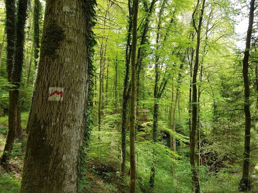
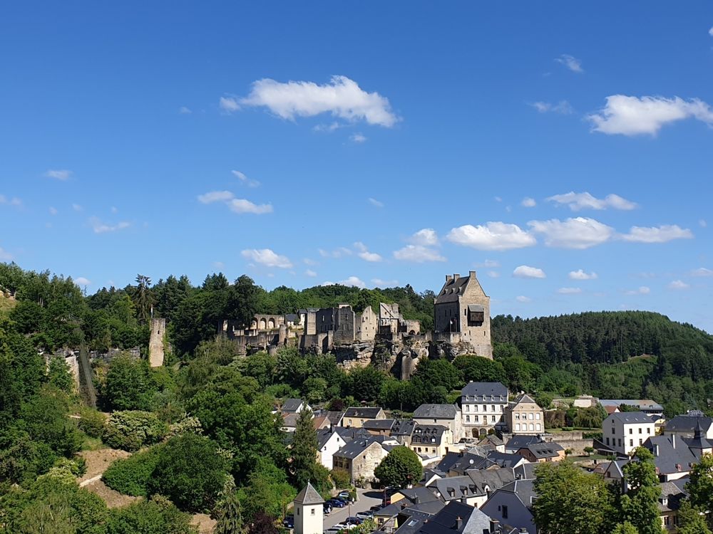
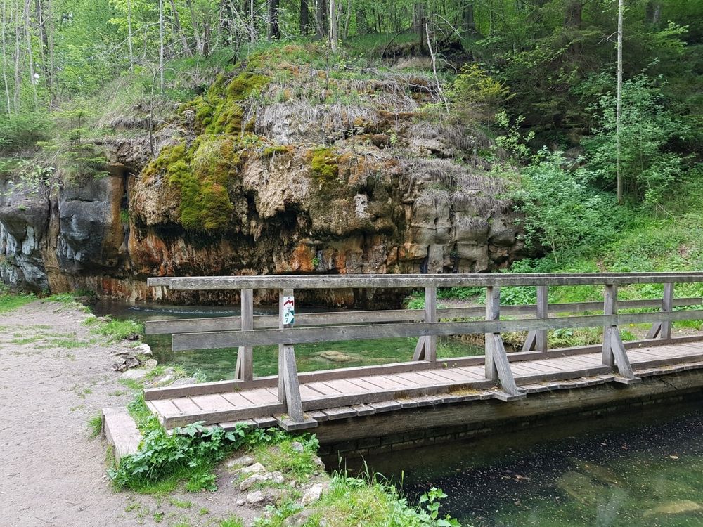
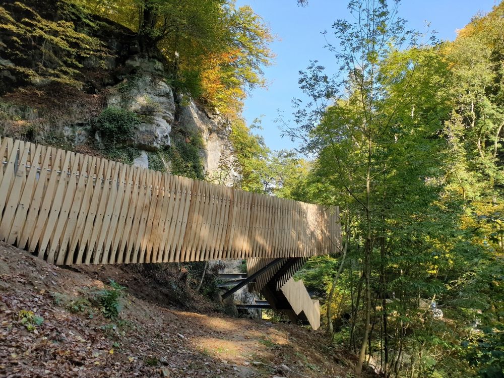
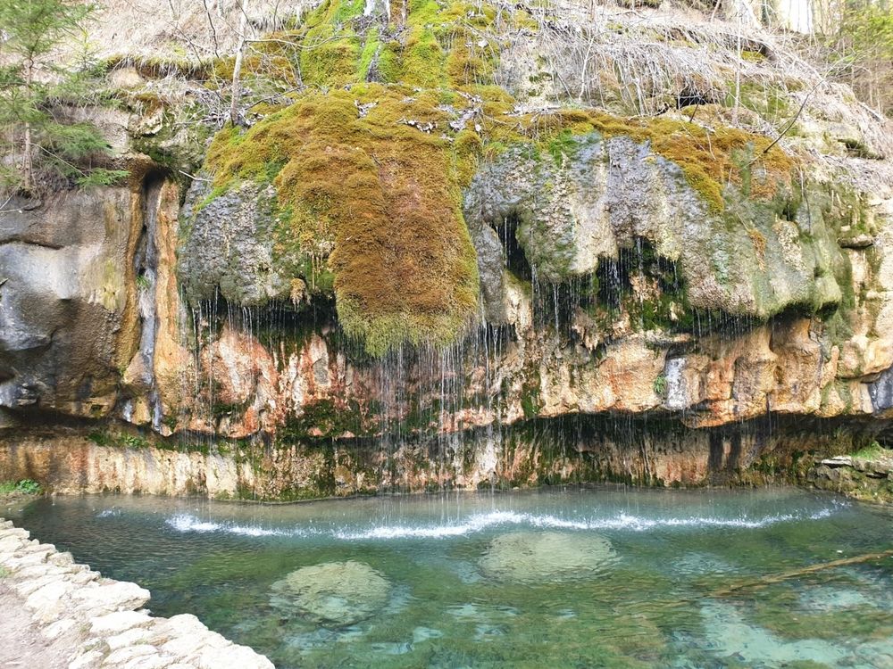
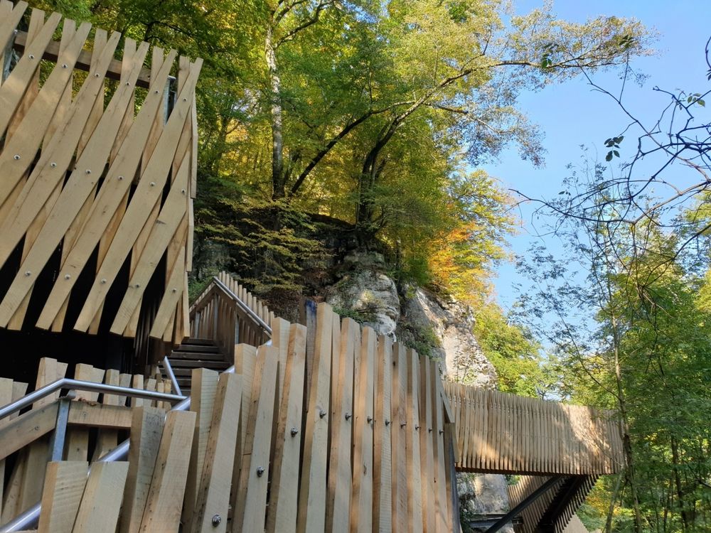
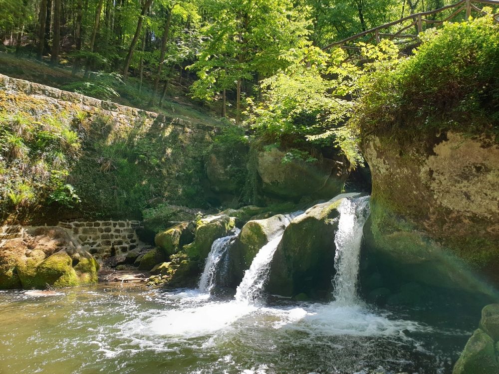
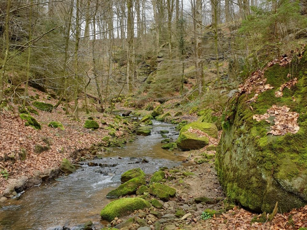
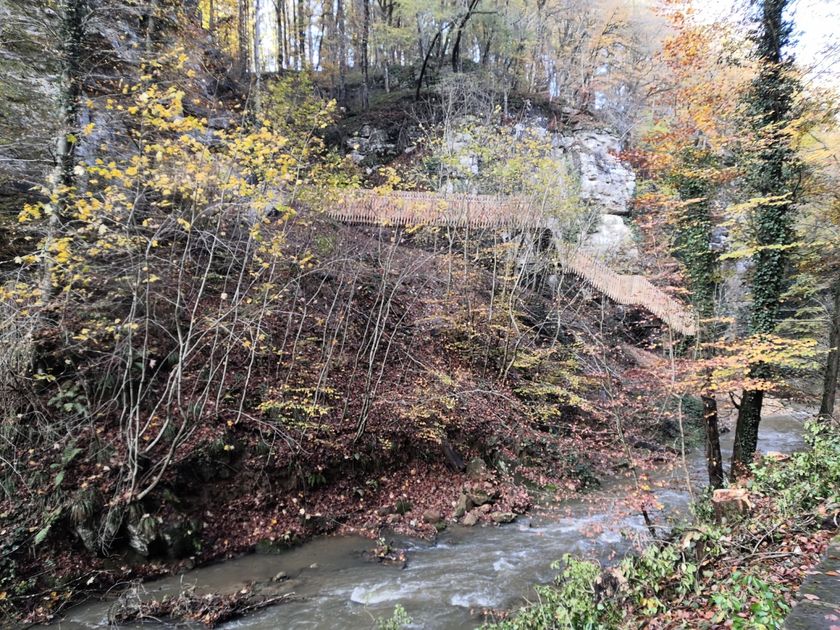
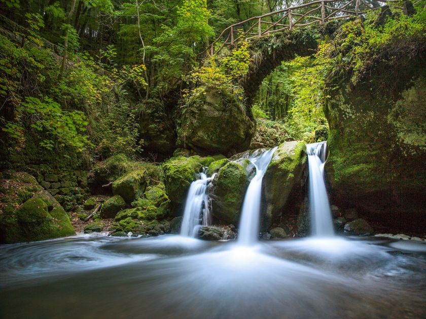
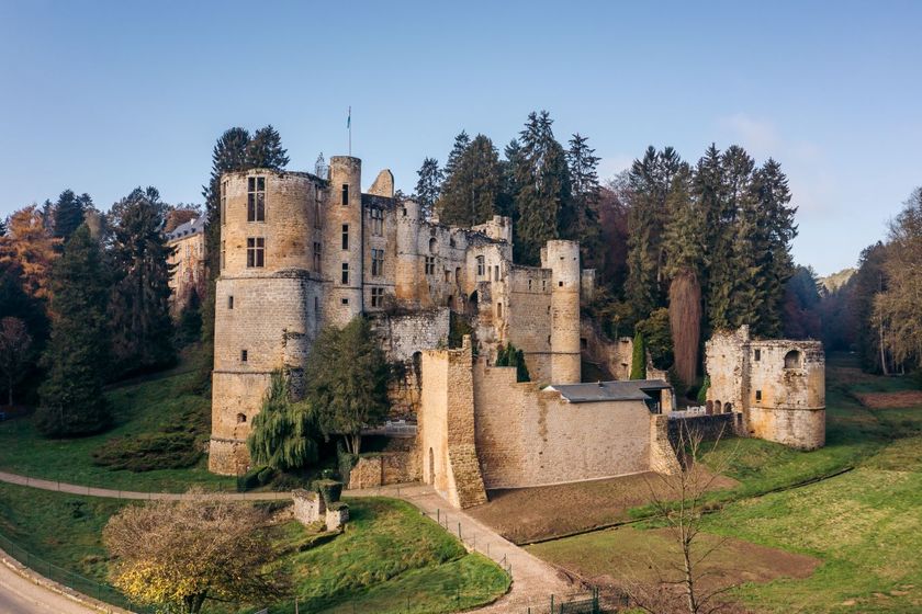
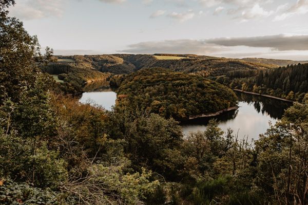
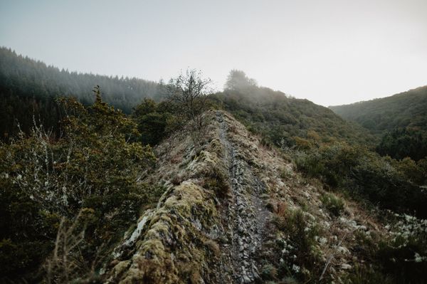
On the route, there are two castles, each with its own character: the castle ruins in Larochette and Beaufort, along with the associated Renaissance castle. Besides the castles, the route runs along protected stream valleys, through forests, along rocks, and to spectacular viewpoints. Over a 700m long wooden footbridge, you reach the Kallektuff spring, a moss-covered rock from which water emerges and collects in a basin - here you can experience a colorful spectacle at any time of the year. Route 3 also passes the symbol of Luxembourg tourism: the Schéissendëmpel - a waterfall with a small, romantic bridge.

Directions
Route 3 of the Mullerthal Trail borders directly on Route 2 in the village of Müllerthal. The village of Müllerthal serves as a starting point for this route, but good starting points are also available, for example, in Beaufort, Medernach, Larochette, or Heffingen.
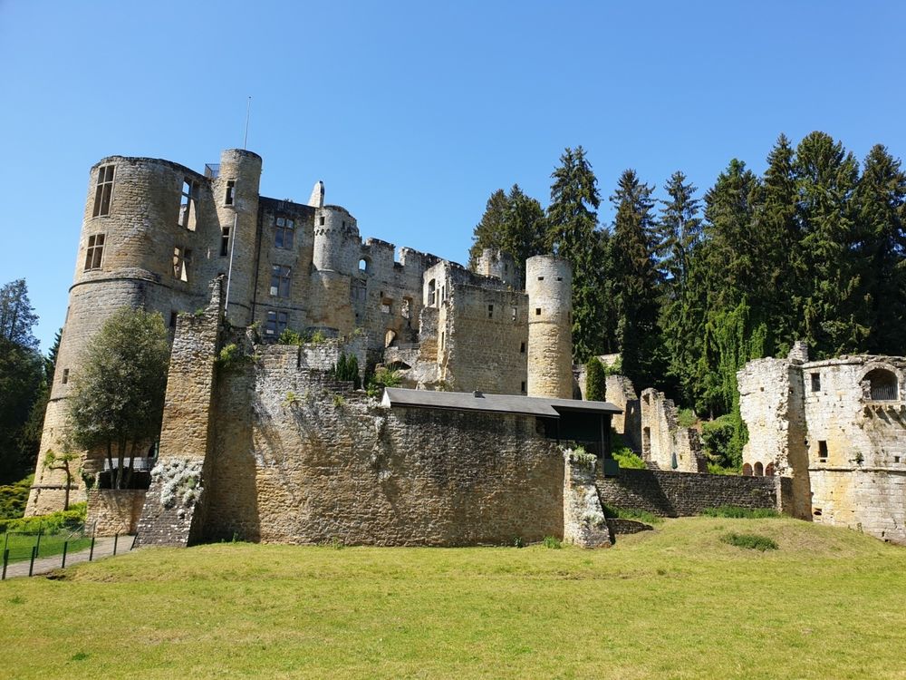
Starting from the village of Müllerthal, the path leads towards Beaufort along the romantic valley of the Schwarze Ernz stream, before flowing into the impressive Halerbaach valley with its steep rock faces. From the Halerbaach, the Mullerthal Trail finally changes to the Haupeschbach, along whose banks it goes directly to Beaufort Castle. Here, a stop is recommended with a visit to the castle ruins and a tasting of the famous Cassero, which is still produced in the castle today. The village of Beaufort offers various dining options.
Along the Halerbaach, the Mullerthal Trail then leads out of Beaufort again, through a largely open landscape with charming forest sections, past Medernach to the village of Larochette.
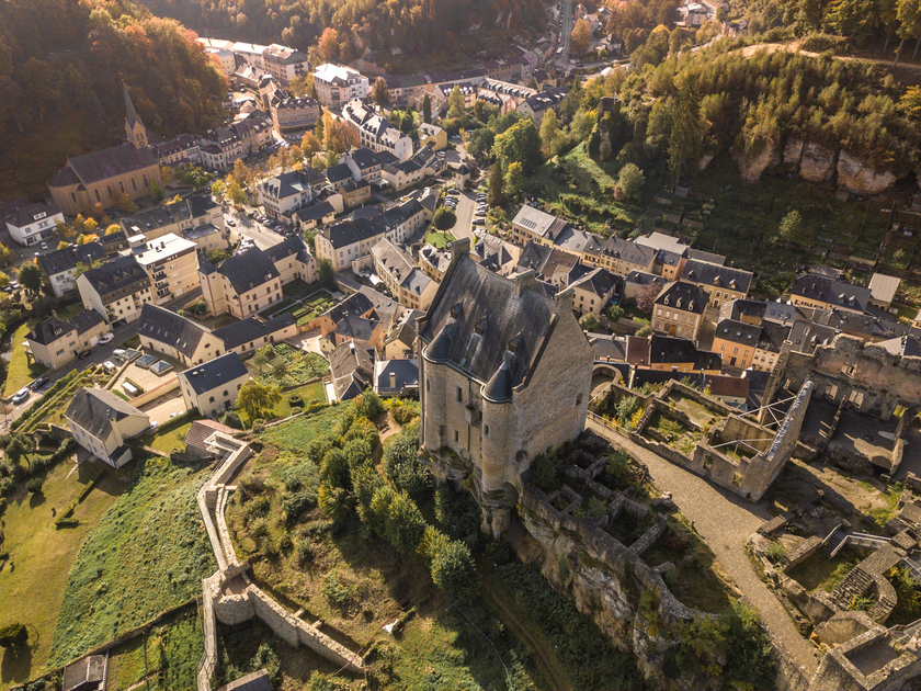
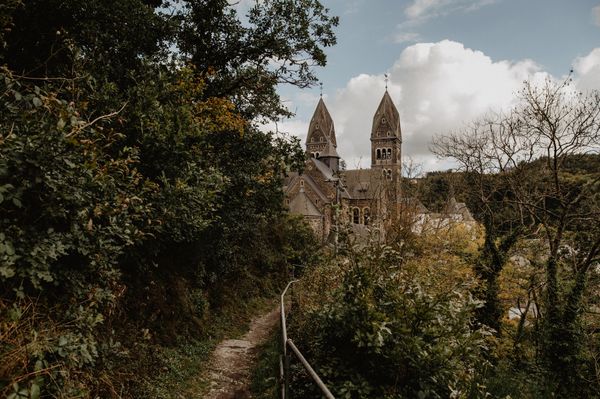
In Larochette, the hiker is greeted by the vast castle ruins, which tower high above the village and give it its unique silhouette. It is also worth taking a break here to rest and sightsee. Larochette itself offers numerous dining options.
Along the Weiße Ernz, which is accompanied by an open stream valley, the Mullerthal Trail continues southwards towards Blumenthal. This section runs over the high plateau and offers excellent views and vistas.
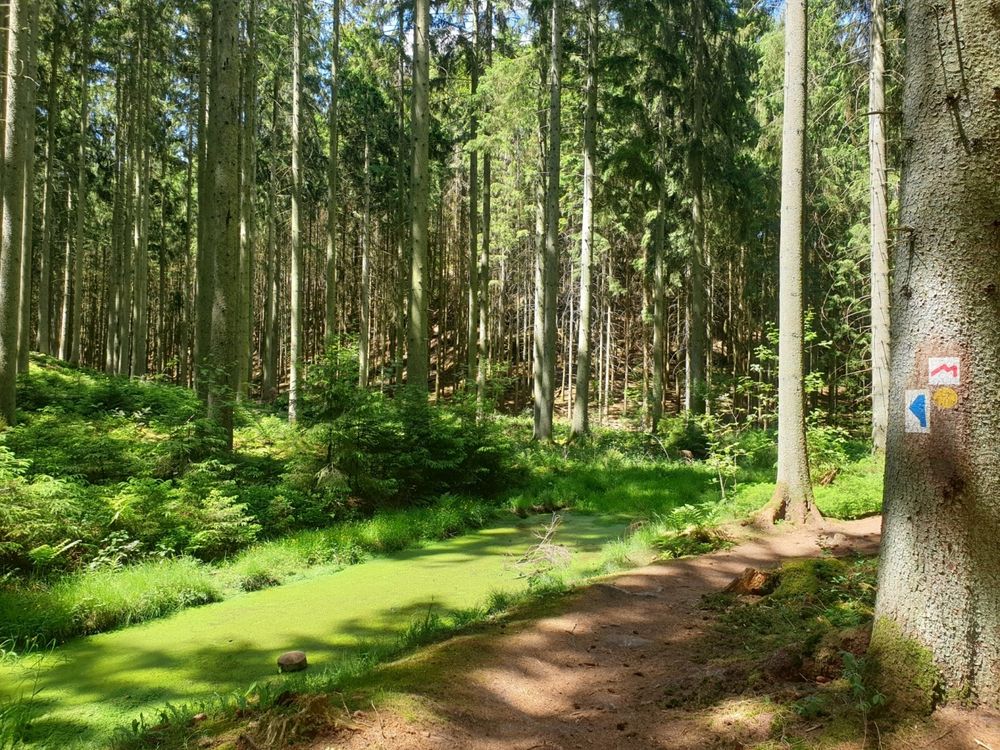
From Blumenthal, the path goes through the Marscherwald, a light beech forest, as well as along the Schwarze Ernz. Over a wooden footbridge, the hiker reaches the impressive Kallektuff spring (calcareous tufa spring).
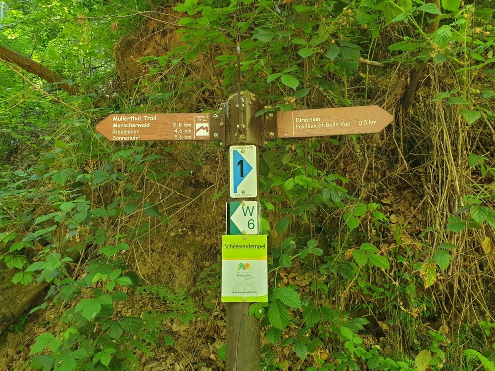
It continues towards Müllerthal. Through a beautiful forest and rock landscape, the hiker arrives at the well-known Schéissendëmpel waterfall, which was already described in Route 2. After about one kilometer, the village of Müllerthal is reached again.
For your safety
After heavy rainfall and due to logging or other forest work, some trail sections can be very muddy and difficult to pass in places.
Equipment
Please always remember to wear sturdy footwear.
Journey
Public transport in Luxembourg is free. Use the app mobiliteit.lu to plan your stay


 This website uses technology and content from the Outdooractive Platform.