©Visit Luxembourg
Guttland Germany France

Rondwandelroute Beringen

Route
5,85 km
Duur
1:45 h
moeilijkheid
makkelijk
  • Voorwaarde
Hoogste punt
407 Hm
Laagste punt
219 Hm
Beklimming
178 Hm
Herkomst
178 Hm
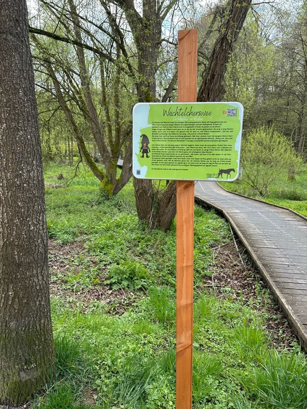
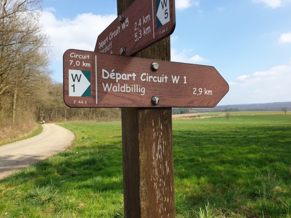
Rondwandelroutes Visit Luxembourg

Beschrijving

Rondwandelroute Beringen

Hoogtepunten langs de tocht

Rondwandelroute Beringen

  • ©Restaurant A Guddesch
    Restaurant A Guddesch
    Creativiteit en de juiste smaak vormen de rode draad doorheen alle gerechten.
    Meer informatie

Vergelijkbare wandeltochten

©Visit Luxembourg
Rondwandelroutes
Lokale wandelroute - B5
Afstand: 5,95 km
Duur: 1:40 h
Moeilijkheidsgraad: makkelijk
Meer informatie
©Visit Éislek, Visit Éislek
Rondwandelroutes
Lokale wandelroute BS 1 - Lipperscheid
Afstand: 5,47 km
Duur: 1:50 h
Moeilijkheidsgraad: makkelijk
Meer informatie
©Visit Éislek, Visit Éislek
Rondwandelroutes
Lokale wandelroute BS 3 - Bourscheid-Moulin
Afstand: 6,77 km
Duur: 2:05 h
Moeilijkheidsgraad: makkelijk
Meer informatie
©Visit Éislek, Visit Éislek
Rondwandelroutes
Lokale wandelroute CL 1 - Kalborn
Afstand: 5,33 km
Duur: 1:35 h
Moeilijkheidsgraad: makkelijk
Meer informatie
©Visit Éislek, Visit Éislek
Rondwandelroutes
Lokale wandelroute BL 2 - Boulaide
Afstand: 5,70 km
Duur: 1:35 h
Moeilijkheidsgraad: makkelijk
Meer informatie
©Visit Éislek, Visit Éislek
Rondwandelroutes
Lokale wandelroute BL 1 - Surré
Afstand: 4,79 km
Duur: 1:20 h
Moeilijkheidsgraad: makkelijk
Meer informatie
©ORT Sud
Rondwandelroutes
Wandelpad "De Kaweechelcherspad"
Afstand: 1,36 km
Duur: 0:25 h
Moeilijkheidsgraad: makkelijk
Meer informatie
©Visit Luxembourg
UNESCO Wandeling - Luxemburg Vesting en oude stadsdelen
Afstand: 3,39 km
Duur: 1:47 h
Moeilijkheidsgraad: makkelijk
Meer informatie
©Pulsa Pictures, Pulsa Pictures & ORT Sud
Thematische routes
Dumontshaff-natuurpad
Afstand: 4,87 km
Duur: 1:15 h
Moeilijkheidsgraad: makkelijk
Meer informatie
outdooractive Deze website maakt gebruik van technologie en inhoud van het Outdooractive Platform.