©Visit Luxembourg
Müllerthal Germany France

Natuurpad "Joffer Margot"

Vertrekpunt

Consdorf: Parking Konsdrëffermillen

Bestemming

Consdorf: Parking Konsdrëffermillen

Route
6,88 km
Duur
2:00 h
moeilijkheid
makkelijk
  • Voorwaarde
Hoogste punt
364 Hm
Laagste punt
256 Hm
Beklimming
130 Hm
Herkomst
128 Hm
Thematische routes Visit Luxembourg

Beschrijving

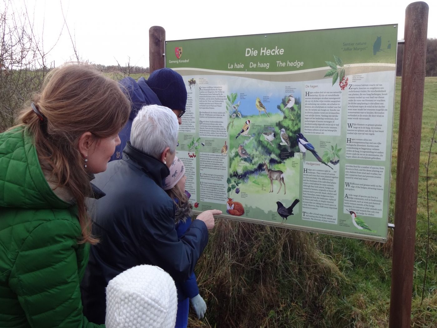
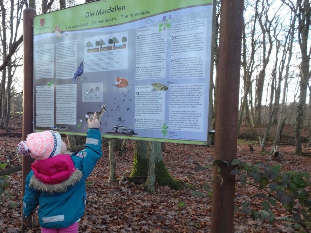
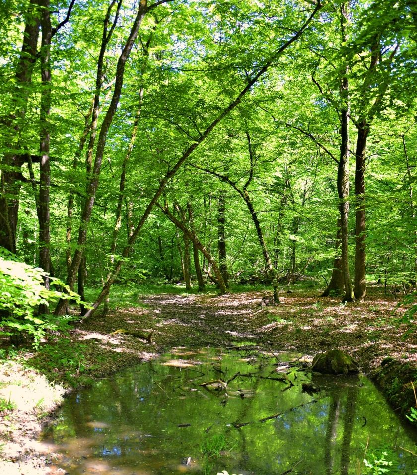
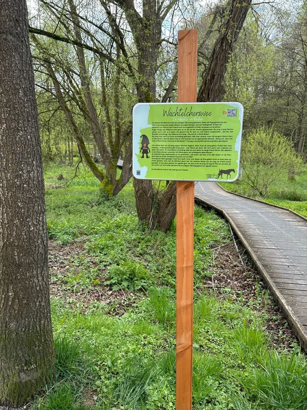
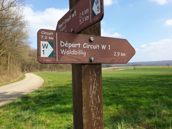
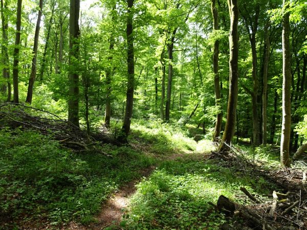
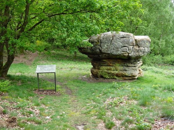
Ontdek de natuurschatten van de regio Müllerthal op het natuurpad Joffer-Margot.

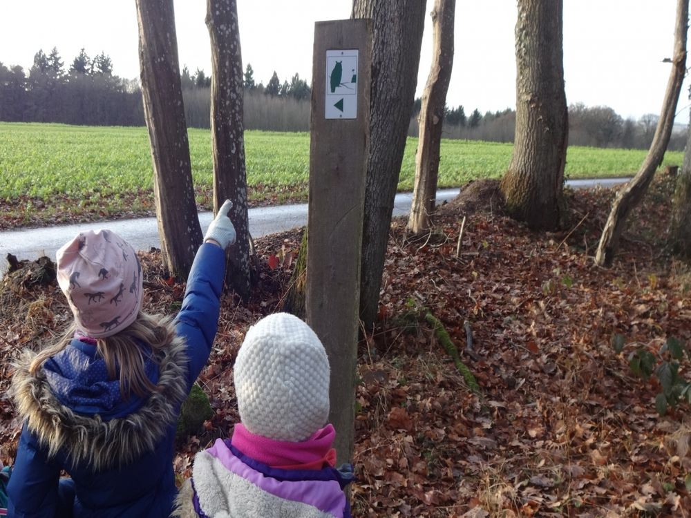
Op dit natuurpad in Consdorf wijst de uil u de weg door het natuurlijke erfgoed van de regio. De informatieborden bij de verschillende punten tonen de biodiversiteit van de regio, er zijn verschillende lengtes; Bij de Tourist Info is een flyer over het pad verkrijgbaar

Hoogtepunten langs de tocht

Natuurpad "Joffer Margot"

  • Mardell
    Mardell
    Meer informatie
  • ©SIT Consdorf
    Tourist Info Consdorf
    Tourist Info Consdorf
    Meer informatie
  • Brasserie op Buergkapp
    Dit moderne restaurant in industriële stijl bevindt zich in de buurt van Camping La Pinède in Consdorf.
    Meer informatie

Vergelijkbare wandeltochten

©ORT Sud
Rondwandelroutes
Parc Le'h - wandelpad voor kinderen
Afstand: 1,46 km
Duur: 0:25 h
Moeilijkheidsgraad: makkelijk
Meer informatie
©©Visit Éislek
Éischter Bëschrou
Afstand: 4,33 km
Duur: 1:10 h
Moeilijkheidsgraad: makkelijk
Meer informatie
©Jeniska Photography, Visit Luxembourg
Guttland.Trails
Guttland.Trail Fautelfiels
Afstand: 5,40 km
Duur: 1:45 h
Moeilijkheidsgraad: makkelijk
Meer informatie
©CFL, Visit Luxembourg
Langeafstandswandelroutes
31 Station naar station Niederkorn - Bascharage-Sanem
Afstand: 5,28 km
Duur: 1:20 h
Moeilijkheidsgraad: makkelijk
Meer informatie
©Visit Luxembourg
Rondwandelroutes
Circular walk Machtum E
Afstand: 3,11 km
Duur: 0:57 h
Moeilijkheidsgraad: makkelijk
Meer informatie
©Paul Hilbert, Visit Luxembourg
Cultural trail Stadtbredimus
Afstand: 1,75 km
Duur: 0:25 h
Moeilijkheidsgraad: makkelijk
Meer informatie
©Visit Luxembourg
Rondwandelroutes
Lokale wandelroute - F3
Afstand: 2,69 km
Duur: 0:50 h
Moeilijkheidsgraad: makkelijk
Meer informatie
©Visit Luxembourg
Rondwandelroutes
Tour de la Mémoire
Afstand: 2,61 km
Duur: 0:40 h
Moeilijkheidsgraad: makkelijk
Meer informatie
©Visit Éislek, Visit Éislek
Rondwandelroutes
Lokale wandelroute LH 3 - Liefrange
Afstand: 5,46 km
Duur: 1:35 h
Moeilijkheidsgraad: makkelijk
Meer informatie
outdooractive Deze website maakt gebruik van technologie en inhoud van het Outdooractive Platform.