©Visit Luxembourg
Müllerthal Germany France

Ierelchen Echternach - toegankelijk wandelpad met restricties

Vertrekpunt

Parkeerplaats Mélick

Bestemming

Parkeerplaats Mélick

Route
3,32 km
moeilijkheid
makkelijk
  • Voorwaarde
Hoogste punt
338 Hm
Laagste punt
292 Hm
Beklimming
60 Hm
Herkomst
57 Hm
Thematische routes Visit Luxembourg

Beschrijving

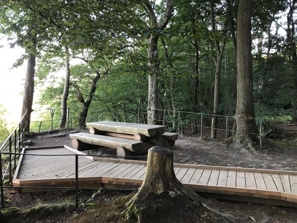
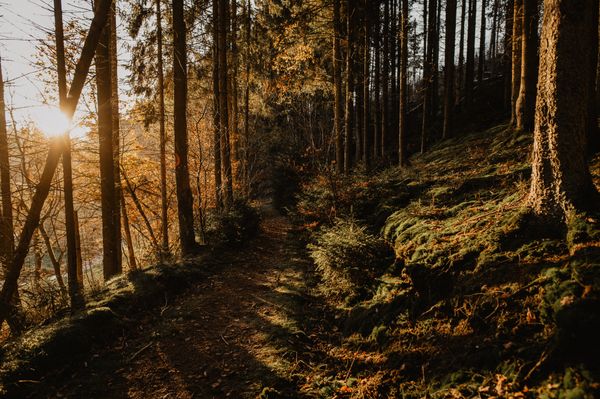
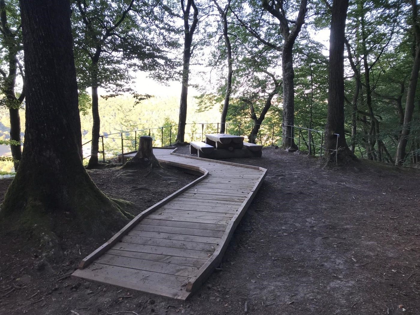
Wandelpad over een plat pad in het bos met een mooie picknickplaats.

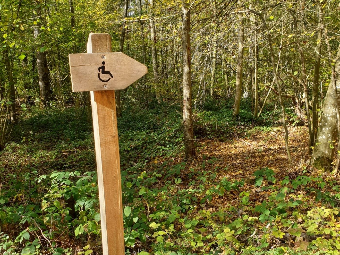
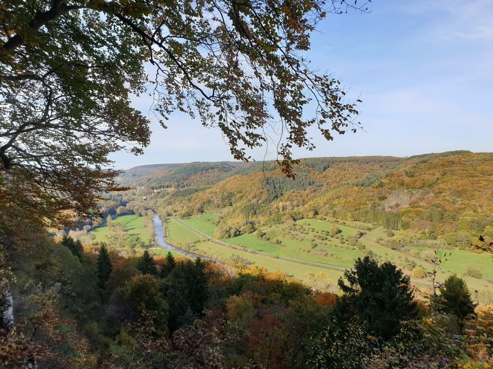
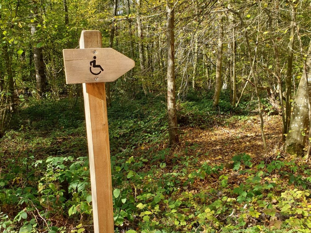
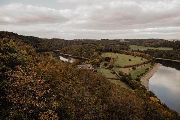
Op Mélick in Echternach ligt het gemeentelijke bos “Ierelchen”. Het bospad is gedeeltelijk toegankelijk zonder grote stijging. Vanaf het pad is het ongeveer 50 meter naar de Paulsplatte, deze weg is gemarkeerd met een rolstoelpictogram. Een gedeeltelijk toegankelijke helling brengt u naar het uitkijkpunt met zicht over de vallei van de rivier de Sûre

Hoogtepunten langs de tocht

Ierelchen Echternach - toegankelijk wandelpad met restricties

  • ©Pancake! Photographie
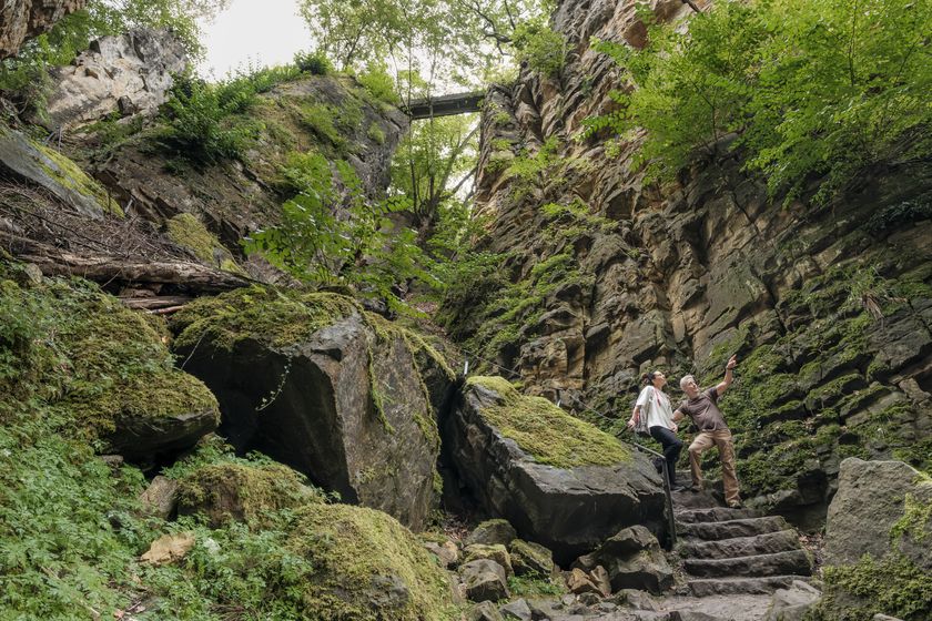
    Rotsformatie "Wollefsschlucht"
    Imposante rotsachtige kloof met rotswanden die tot 50 meter de lucht in reiken.
    Meer informatie

Vergelijkbare wandeltochten

©Visit Guttland, Visit Guttland
Thematische routes
Thematische wandelroute Mertzig
Afstand: 4,00 km
Duur: 1:05 h
Moeilijkheidsgraad: makkelijk
Meer informatie
©Visit Éislek, Visit Éislek
Rondwandelroutes
Lokale wandelroute ES 1 - Burfelt
Afstand: 4,66 km
Duur: 1:35 h
Moeilijkheidsgraad: makkelijk
Meer informatie
©Visit Éislek, Visit Luxembourg
Thematische routes
Ontdekkingsroute - De Fledermaustunnel
Afstand: 3,13 km
Duur: 0:49 h
Moeilijkheidsgraad: makkelijk
Meer informatie
©Visit Luxembourg
Rondwandelroutes
Auto-Pédestre wandelroute Büderscheid
Afstand: 4,64 km
Duur: 1:20 h
Moeilijkheidsgraad: makkelijk
Meer informatie
©Luxembourg for Tourism
Rondwandelroutes
Auto-Pédestre wandelroute Bourscheid
Afstand: 5,88 km
Duur: 2:05 h
Moeilijkheidsgraad: makkelijk
Meer informatie
©Visit Luxembourg
Rondwandelroutes
Lokale wandelroute - R6
Afstand: 3,79 km
Duur: 1:05 h
Moeilijkheidsgraad: makkelijk
Meer informatie
©Visit Luxembourg
Rondwandelroutes
Auto-Pédestre wandelroute Surré
Afstand: 6,21 km
Duur: 1:45 h
Moeilijkheidsgraad: makkelijk
Meer informatie
©Visit Luxembourg
Rondwandelroutes
Lokale wandelroute - N3
Afstand: 2,88 km
Duur: 1:00 h
Moeilijkheidsgraad: makkelijk
Meer informatie
©Jeniska Photography, Visit Guttland
Guttland.Trails
Guttland.Trail Aarnescht
Afstand: 9,50 km
Duur: 2:35 h
Moeilijkheidsgraad: makkelijk
Meer informatie
outdooractive Deze website maakt gebruik van technologie en inhoud van het Outdooractive Platform.