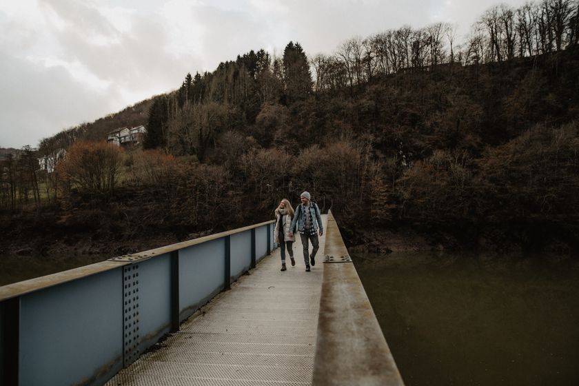
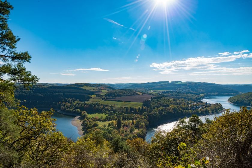
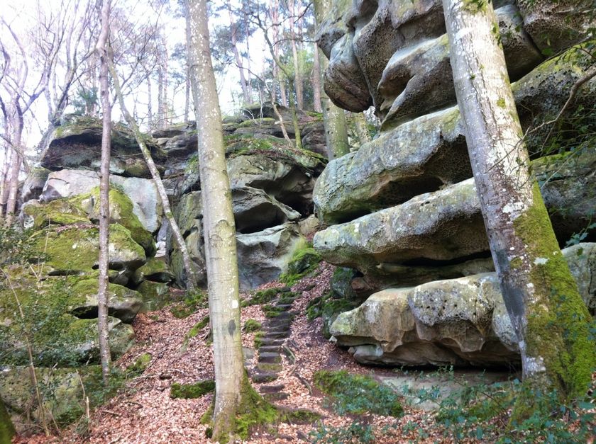
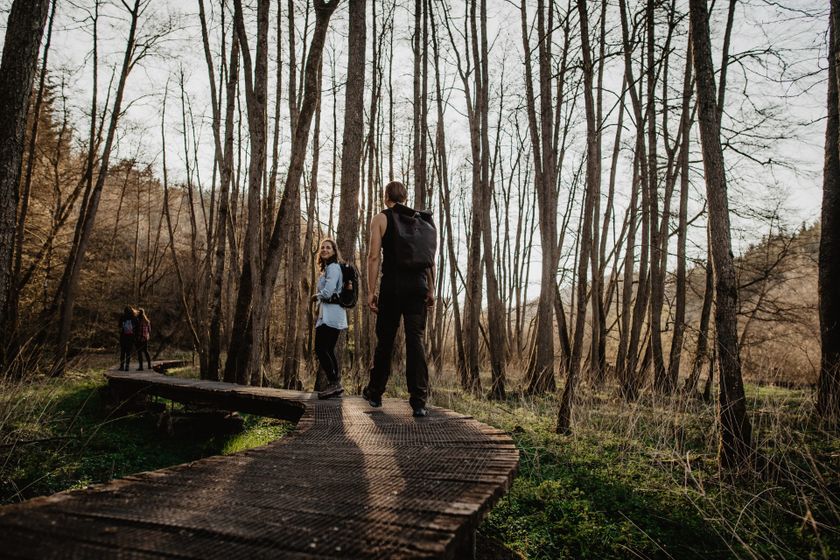
Luxembourg Hiking
Heat and drought: help us protect nature
During periods of high temperatures and prolonged dry weather, the risk of vegetation and forest fires increases significantly. By following a few simple precautionary measures, everyone can help protect our natural landscapes and forests.
Read the recommendations issued by the Luxembourg authorities to help prevent vegetation and forest fires.
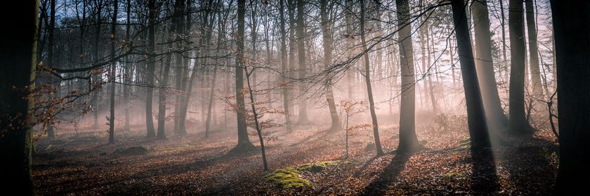
Dirbach©Jeniska Photography Hiking map
pdf | 5.60 MBDownload - Hiking map | pdf | 5.60 MBThe foldable hiking map includes a geographic orientation of the country’s walking trails as well as useful information about the activity. It provides an overview of the main hiking offer in Luxembourg, with guidance on where to find more specific information. One map in four languages (DE, FR, EN, NL).

Hiking trails in Luxembourg
641 results
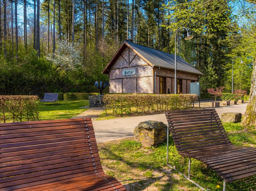
©Visit Luxembourg Circular routesScenicLocal hiking trail TA 2 - Bettel
Distance: 6,00 kmFind out more
Duration: 1:45 h
Difficulty: easy©Pulsa Pictures, ORT SUD Circular routesLocal hiking trail "Fitness & Promenades 5" (Brown)
Distance: 11,13 kmFind out more
Duration: 3:05 h
Difficulty: difficult©Visit Éislek, Visit Éislek Circular routesScenicLocal hiking trail KI 8 - Kautenbach
Distance: 17,03 kmFind out more
Duration: 5:35 h
Difficulty: difficult©Pulsa Pictures, ORT SUD Circular routesKids & FamilyAuto-Pédestre trail Pétange
Distance: 7,61 kmFind out more
Duration: 2:05 h
Difficulty: medium©Visit Éislek, Visit Éislek NaturWanderPark DeluxScenicNaturWanderPark delux - Nat'Our Route 4
Distance: 15,54 kmFind out more
Duration: 5:00 h
Difficulty: medium©@Visit Éislek Thematic pathsEscape Helpers Route (North route) - Troisvierges
Distance: 12,87 kmFind out more
Duration: 3:30 h
Difficulty: medium©Visit Luxembourg Circular routesScenicLocal Hiking Route LH 1 - Kaundorf
Distance: 3,86 kmFind out more
Duration: 1:15 h
Difficulty: easy©Jemp Origer, Visit Luxembourg Circular routesLocal hiking trail - C3
Distance: 6,66 kmFind out more
Duration: 1:48 h
Difficulty: easy©Alfonso Salgueiro Photography , Visit Luxembourg Circular routesAuto-Pédestre trail Oberpallen
Distance: 10,14 kmFind out more
Duration: 2:40 h
Difficulty: medium©Visit Éislek, Visit Luxembourg Kids & Family ScenicNaturpur? - Large circular route (variant)
Distance: 7,37 kmFind out more
Duration: 2:15 h
Difficulty: medium