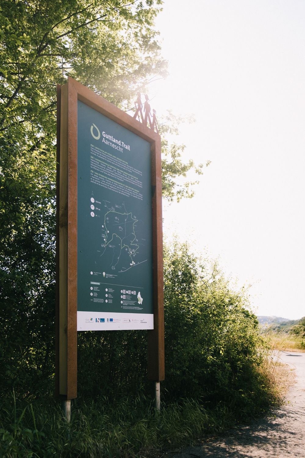
Description
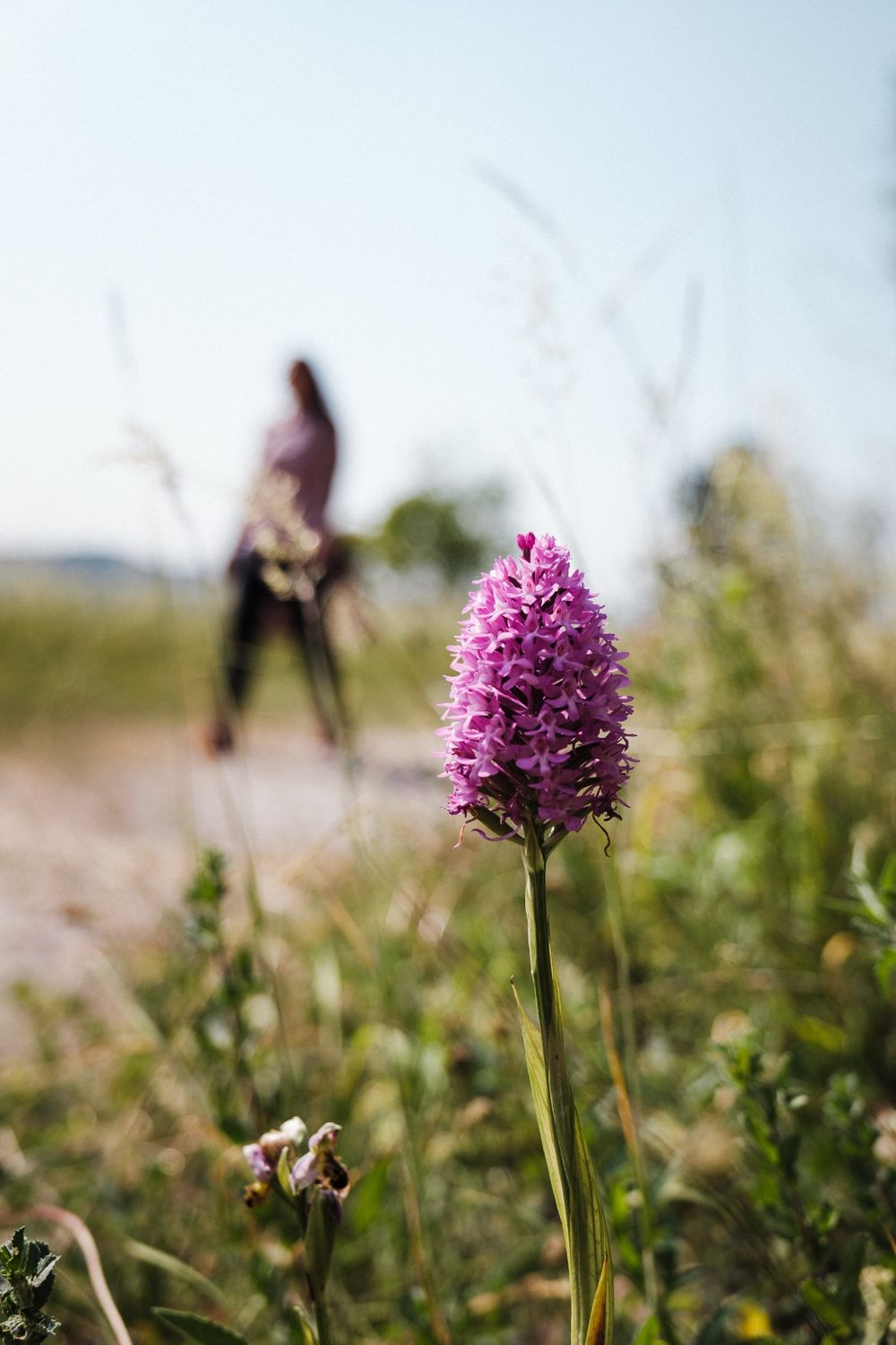
Extensive meadows, fields and forests lead to the unique Aarnescht nature reserve. This former farmland is known for its microclimate and rich flora diversity, e.g. orchids. A paradise for plants and animals, but also for hikers!
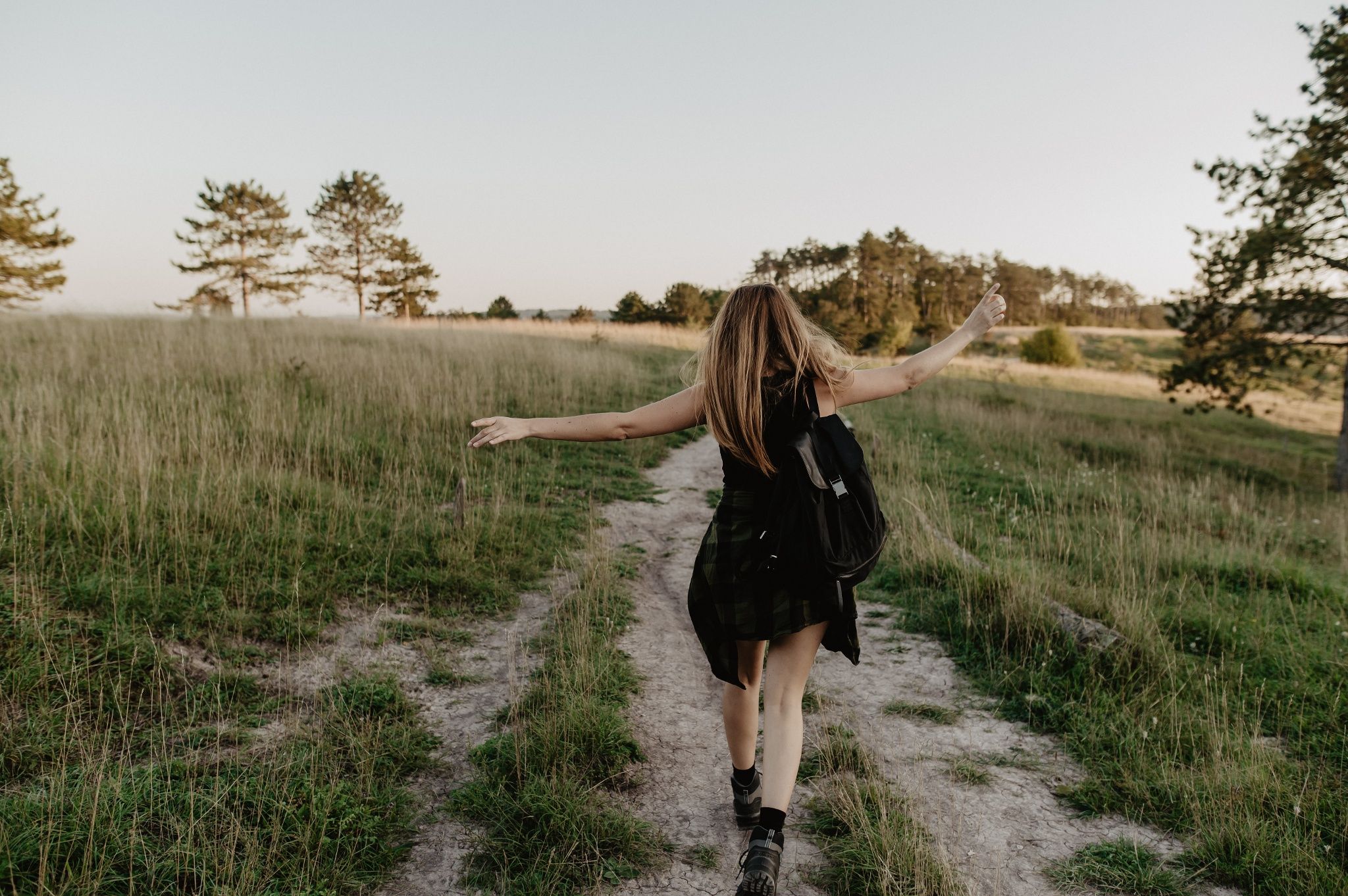
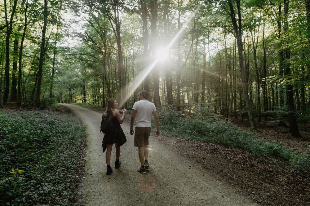
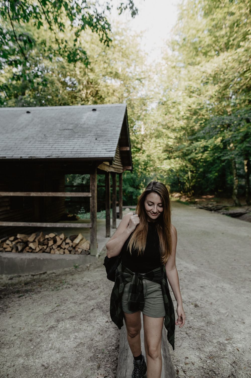
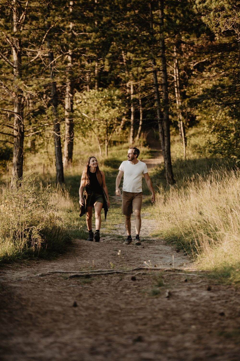
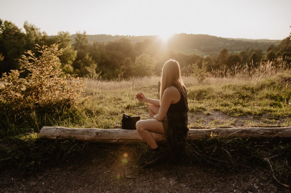
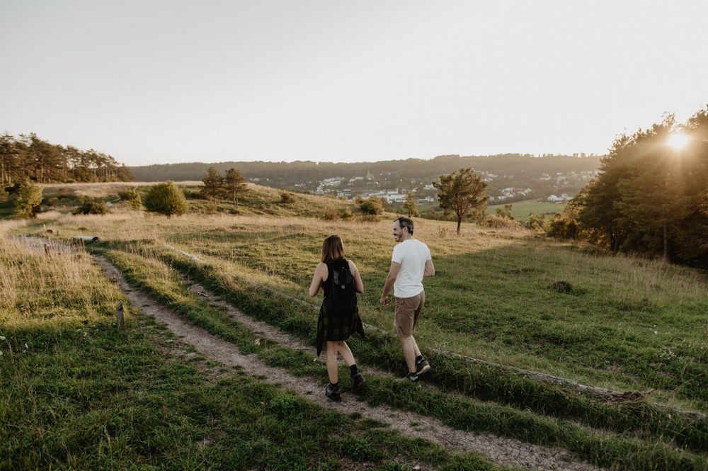
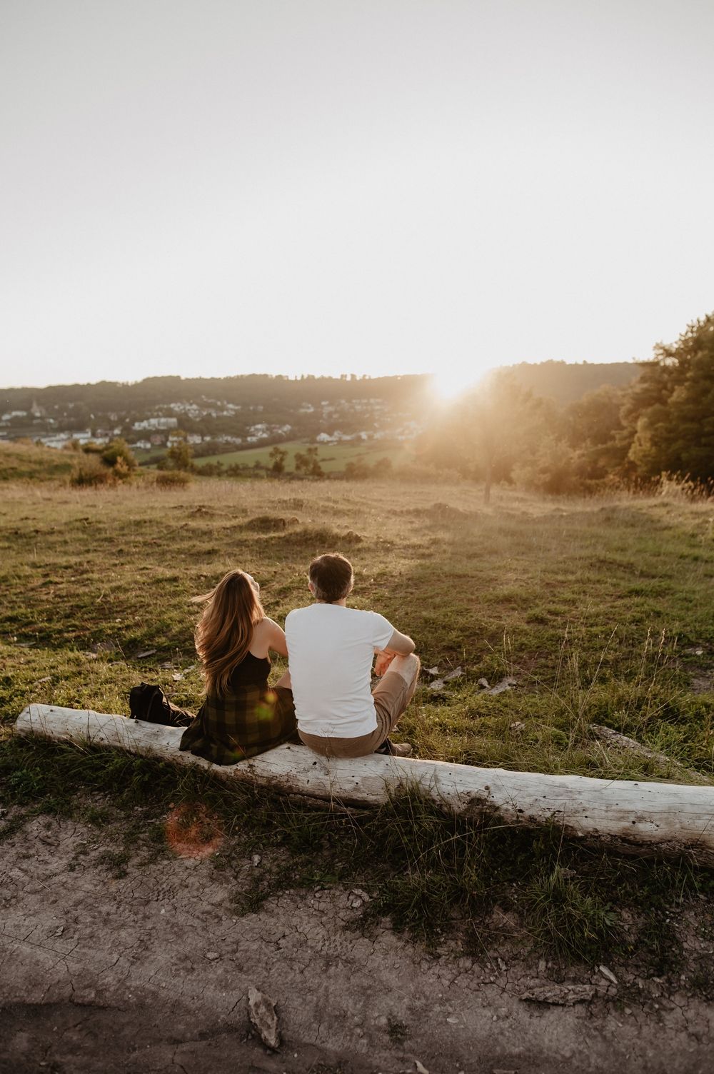
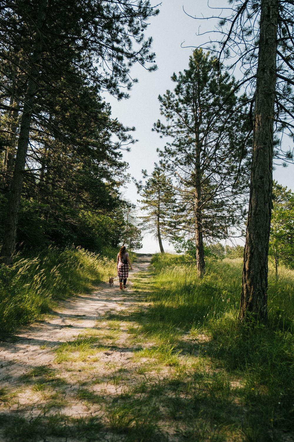
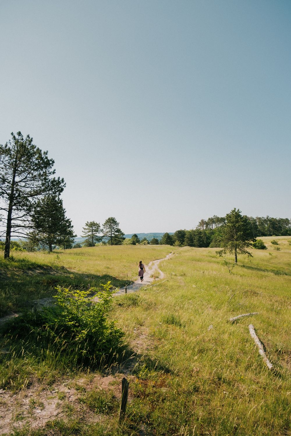
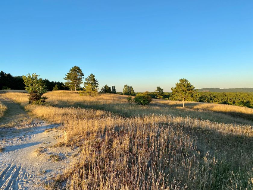
Right from the beginning of the hike, you immerse yourself in a green oasis. The dense forest surrounds you with its tranquility and beauty. The sight of the treetops swaying in the wind instantly makes you forget about the daily grind, allowing you to pause for a moment and appreciate nature in its purest form. The highlight of this tour is the hilly nature reserve 'Aarnescht', a diverse habitat that is well-known for its variety of orchids. Here, delightful expansive views enchant you, and you may even catch a glimpse of airplanes taking off or landing. As you leave the dry grasslands behind, vast fields open up, where, with a stroke of luck, you may spot a deer before making your way back through the dense forest to the starting point.
Directions
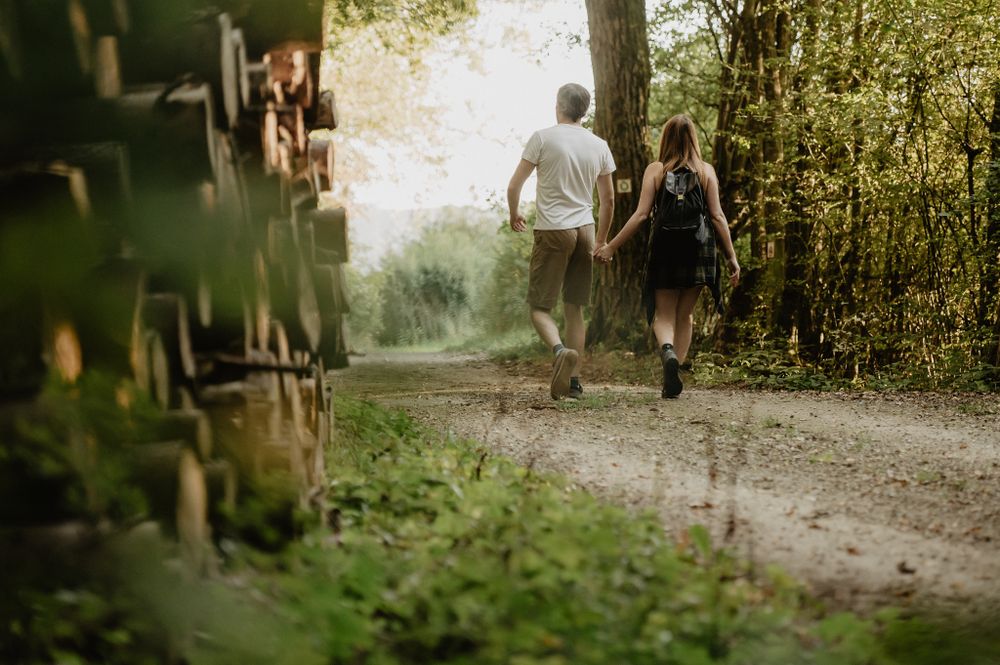
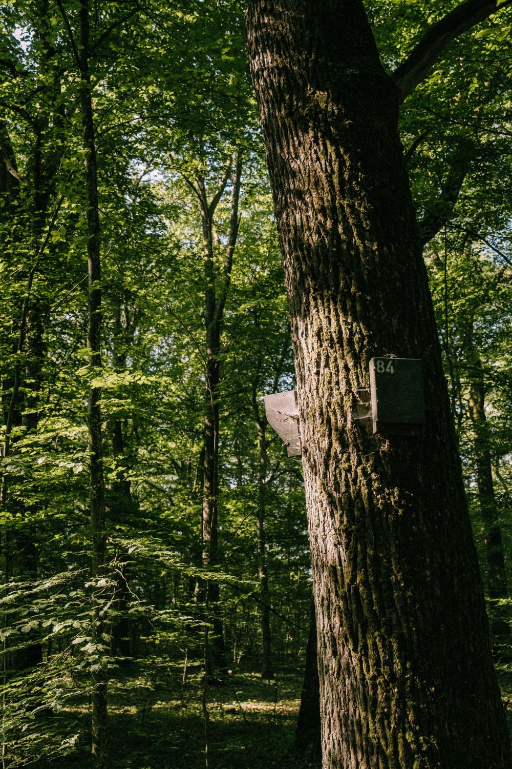
The starting point of this enchanting hike is the parking lot at the entrance of the forest called 'Groussebësch', along the N1, Route de Trèves in Niederanven. From here, a dirt road leads you directly into the dense forest. Majestic trees tower above you and surround you with their protective canopy of leaves. As you cover several kilometers, the forest alternates with picturesque clearings, offering you beautiful views.
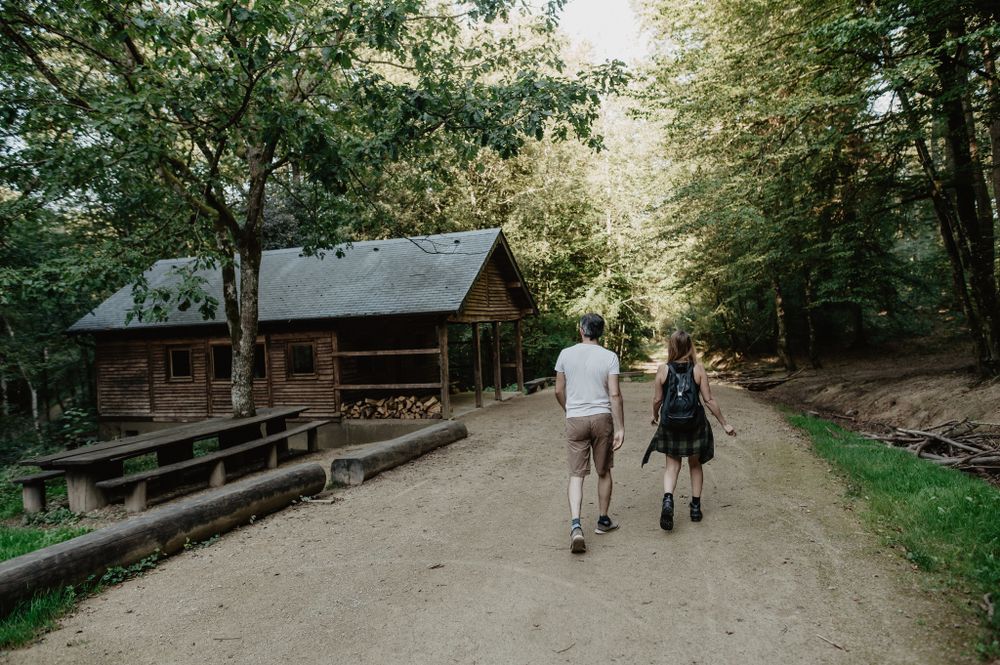
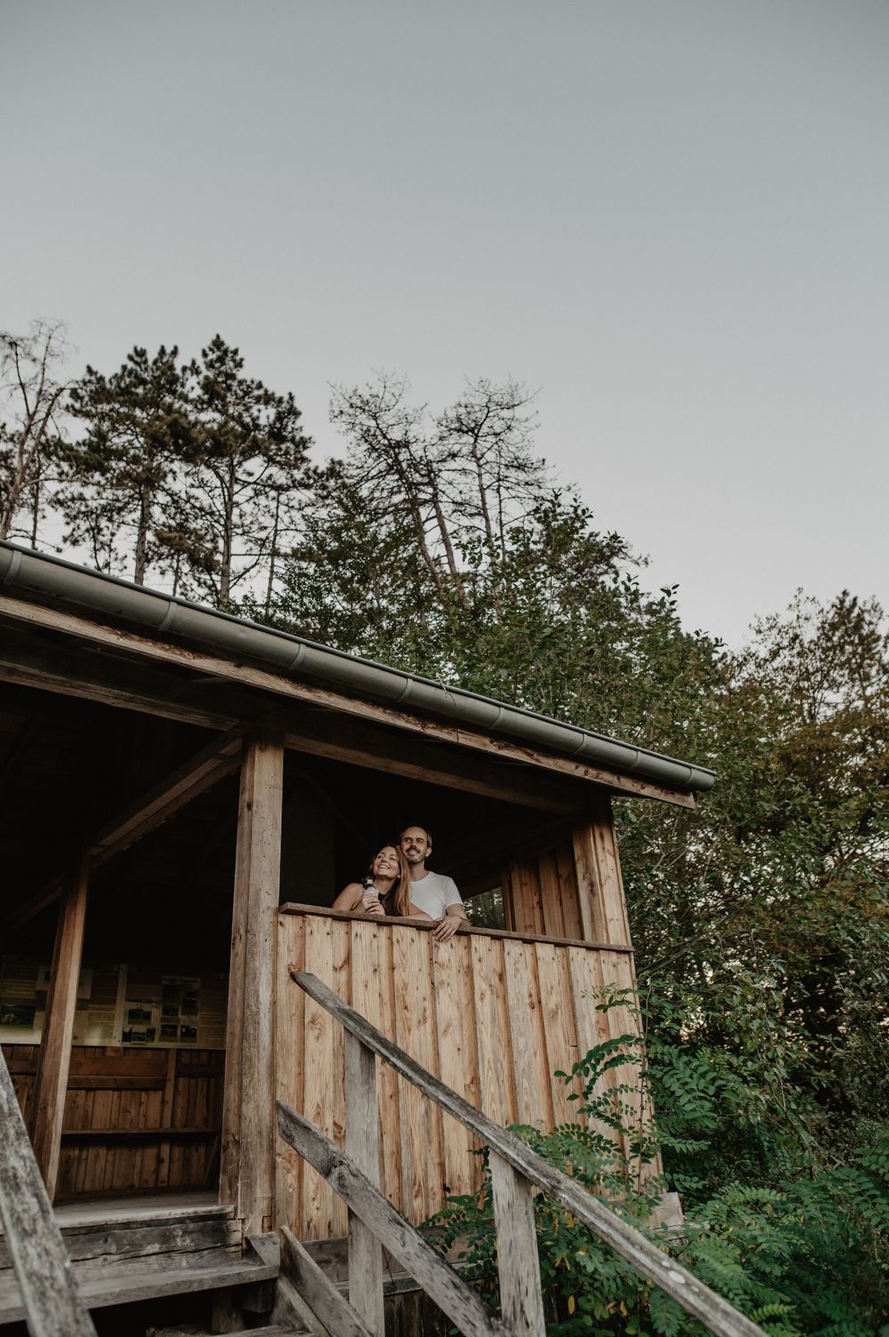
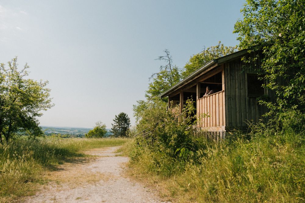
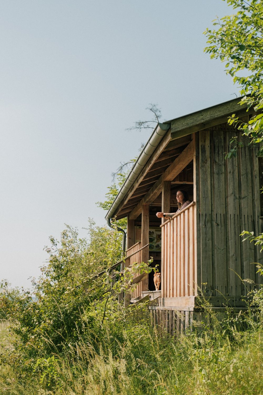
On your way, you will eventually reach the hilly 'Aarnescht'. This impressive nature reserve is a true oasis of biodiversity and is home to a variety of plants and animals. We kindly ask you to use the designated hiking trail to protect this natural habitat. At the entrance of the 'Aarnescht', you will find a chalet that provides information about the protected biotope with its dry meadows. From here, you can also enjoy a stunning view over the Syr Valley.
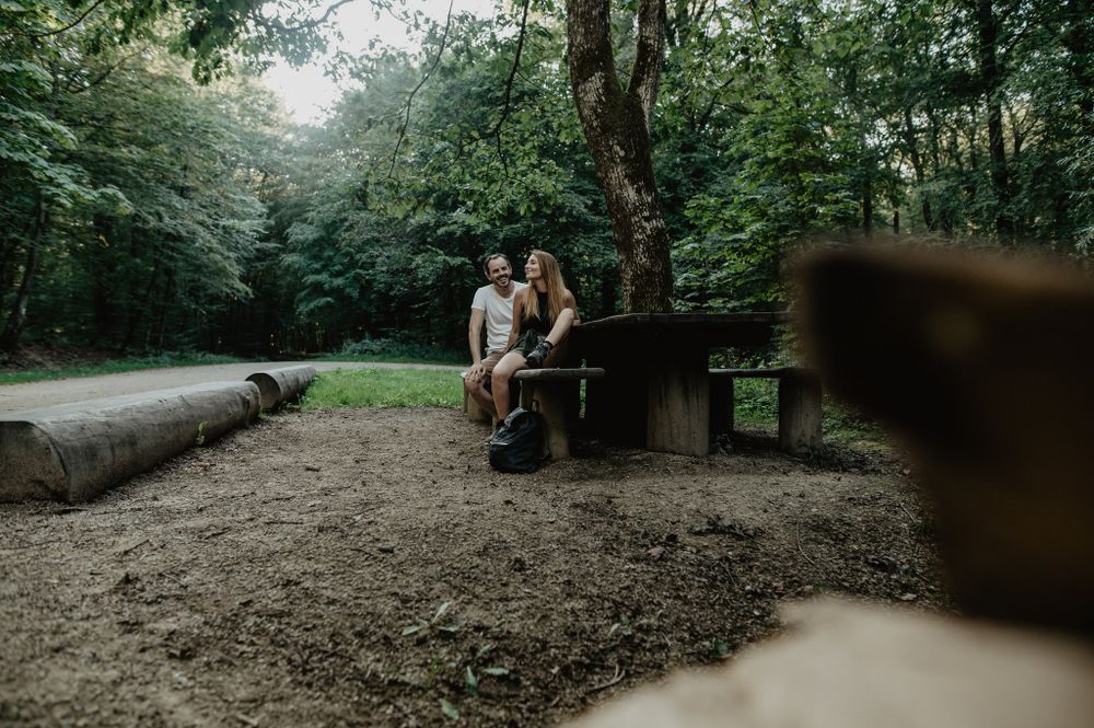
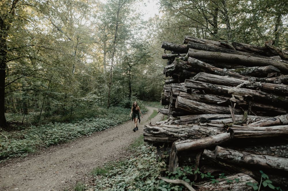
After enjoying the nature reserve, continue your hike through the dense forest on wide paths that captivate you with their natural tranquility. As you approach the starting point, you will come across a beautifully large picnic table that invites you to take a break in a shady spot. Here, time seems to stand still, and you can indulge in a moment of relaxation amidst nature.
The hiking trail is marked in both directions. Please follow the white-green markings.
For your safety
Weather conditions such as wetness, ice and wind can make a tour difficult. The information given refers to optimal conditions.
Equipment
Sturdy shoes and something to drink.
Journey
Use the free public transport and travel climate-friendly by bus and train.
Various bus lines will take you close to the starting point. The nearest bus stops are 'Niederanven Geisfeld' or 'Roodt-sur-syre Rothoicht'. From here, it is approximately a 10-minute walk to the starting point of the hike.
Please check the different bus lines in advance using the Luxembourg mobility app to get more information.
Getting there:
To reach the starting point of this tour most conveniently, it is recommended to take the A1 and exit at Niederanven. Then, follow the signs towards Niederanven and stay on Route de Trèves, N1, towards Roodt-sur-Syre. Soon, you will reach the starting point of the hike on the left side of the road.
Parking:
Right at the starting point, next to the N1, Route de Trèves, there is a designated parking lot.


 This website uses technology and content from the Outdooractive Platform.