© Visit Luxembourg

Auto-pédestre trail Walferdange

Starting point
Forest car park on the heights of Helmsange, towards "Stafelter".
Destination
Forest car park on the heights of Helmsange, towards "Stafelter".
Distance
10,29 km
Duration
2:55 h
Difficulty
medium
  • Condition
Highest point
417 Hm
Lowest point
253 Hm
Aggregated Ascent
214 Hm
Aggregated Descent
214 Hm
Circular routes Visit Luxembourg

Description

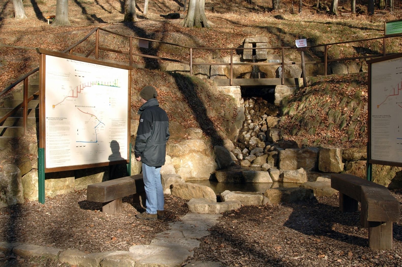
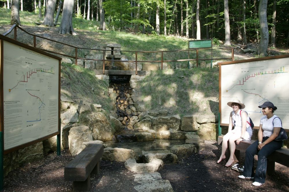
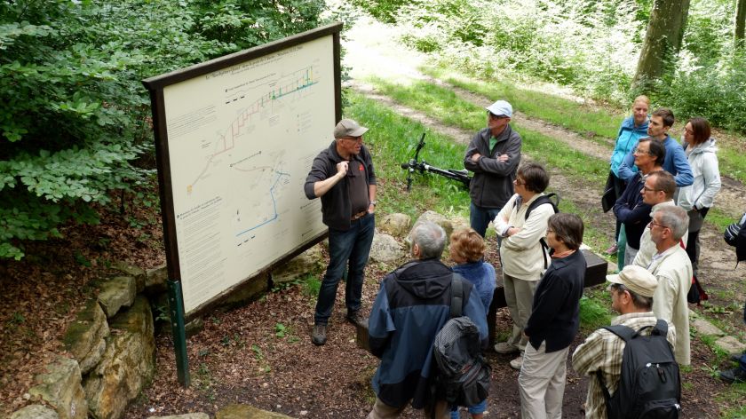
Circular walk Walferdange

You leave the parking lot to the north, then down to Helmsange. You follow some time the National Trail of the Alzette to the south, crossing the locality. You regain the heights and go to Walferbierg near Jaanshaff.

In a large loop regain you start.

Suggestions nearby

Auto-pédestre trail Walferdange

  • © ORTCO
    Gallo-Roman aqueduct Raschpëtzer
    Gallo-Roman aqueduct Raschpëtzer
    Find out more
  • © Visit Guttland
    Roman villa Helmsange
    Roman villa Helmsange
    Find out more

Similar hiking tours

© © Wanderbüro Saar-Hunsrück, Klaus-Peter Kappest, SaarSchleifenLand
Dream loops
"Traumschleife" Schengen without borders
Distance: 8,54 km
Duration: 3:30 h
Difficulty: medium
Find out more
© Visit Luxembourg
Distance trails
21 Station to station Bettembourg - Dudelange-Burange
Distance: 14,66 km
Duration: 3:45 h
Difficulty: medium
Find out more
© CFL, Visit Luxembourg
Distance trails
22 Station to Station Dudelange - Burange - Rumelange
Distance: 10,22 km
Duration: 3:05 h
Difficulty: medium
Find out more
© ORT Sud
Distance trails
23 Station to station Rumelange - Kayl
Distance: 12,57 km
Duration: 3:25 h
Difficulty: medium
Find out more
© Visit Luxembourg
Distance trails
25 Station to station Kayl - Schifflange - Esch-sur-Alzette
Distance: 21,71 km
Duration: 6:05 h
Difficulty: medium
Find out more
© Pulsa Pictures, ORT SUD
Distance trails
26 Station to station Esch-sur-Alzette - Belvaux-Soleuvre
Distance: 9,05 km
Duration: 2:30 h
Difficulty: medium
Find out more
© Visit Luxembourg
Distance trails
27 Station to station Belvaux-Soleuvre-Oberkorn
Distance: 5,20 km
Duration: 1:25 h
Difficulty: medium
Find out more
© ORT Sud
Distance trails
28 Station to station Oberkorn - Niederkorn
Distance: 8,69 km
Duration: 2:25 h
Difficulty: medium
Find out more
© ORT Sud
Distance trails
29 Station to station Niederkorn - Rodange
Distance: 10,12 km
Duration: 2:55 h
Difficulty: medium
Find out more