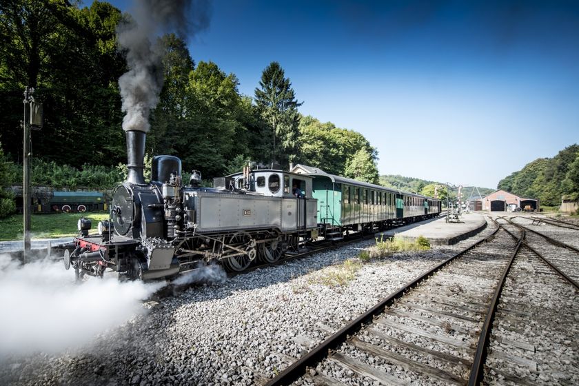
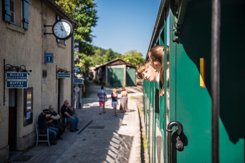
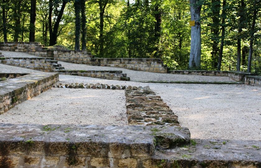
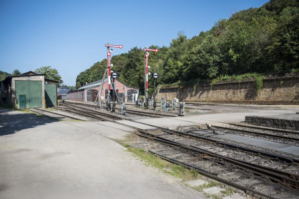
Description
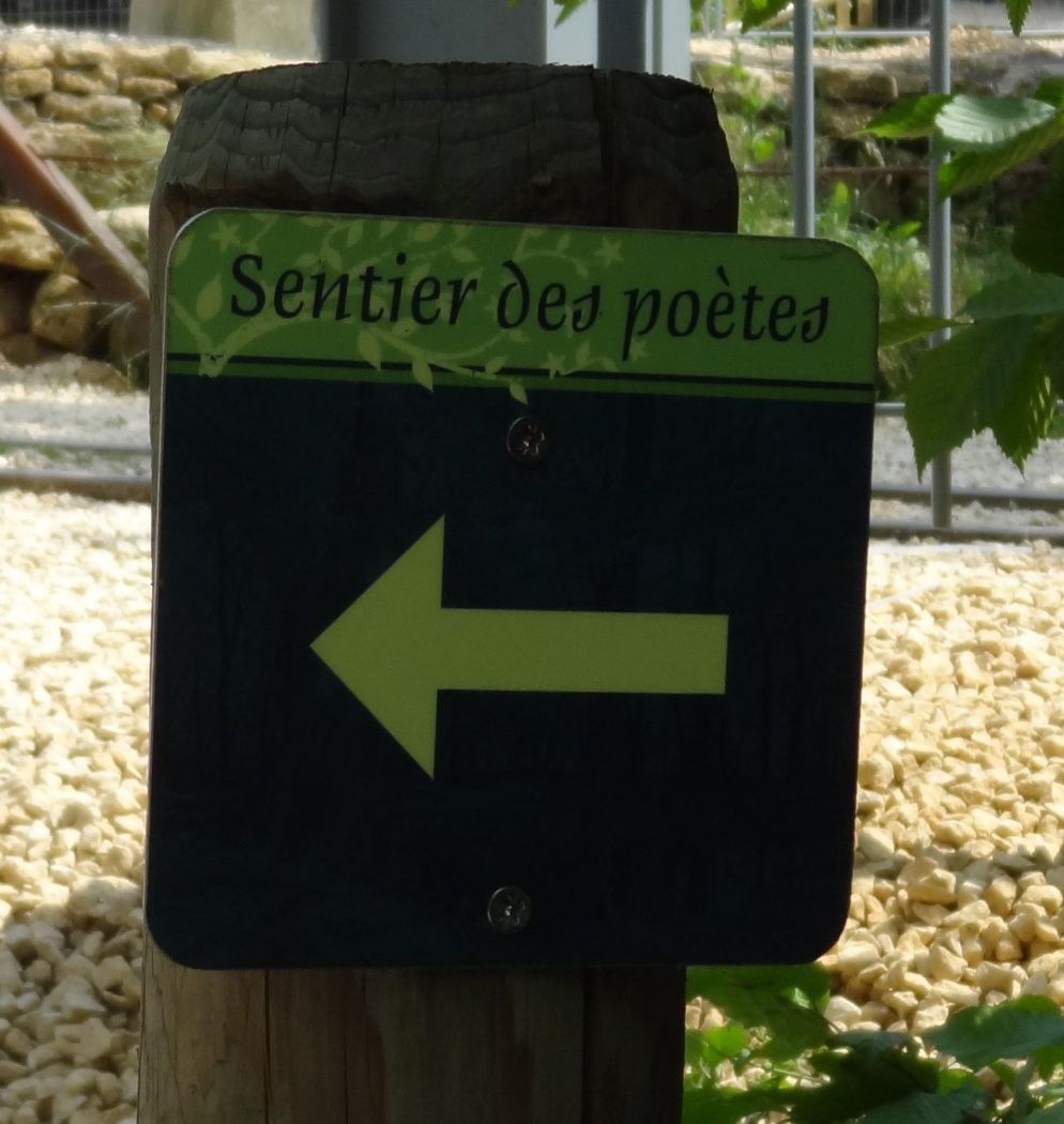
Hike in the footsteps of the poets
The Path of the Poets was established in 2011 as part of the International Year of Forests in collaboration with the National Literature Centre in Mersch.
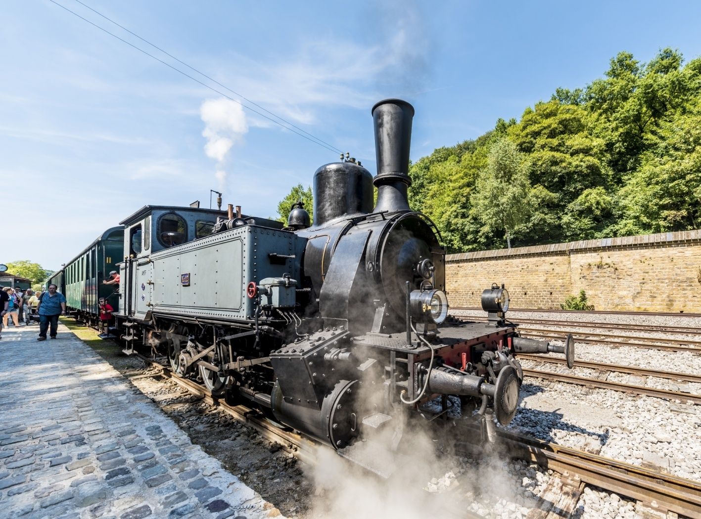
This route between Lamadelaine, Rodange and Fond-de-Gras is not an ordinary educational trail. It reveals the beauty of the landscape in a poetic way: the hiker can discover literary texts by Luxembourg authors about the forest theme at 12 stations.
© Syndicat d'Initiative de la Commune de Pétange - Translation ORT Sud
Signposting
Directions
Three starting points lead to the circular route and give the total length of the path different distances:
Starting point 1 at Doihl in Rodange, distance 6.9 km.
Starting point 2 rue du Titelberg in Lamadelaine, distance 4.9 km.
Starting point 3 Fond-de-Gras, distance 3.9 km.
Please follow the official signage and stay on the designated path.
For your safety
Please remember sturdy footwear and appropriate clothing in case of bad weather.
Equipment
Please remember to pack sufficient provisions for the circular hike.
Journey
Bus No. 3 from Rodange station to Rodange, Schwemm, then 500 meters on foot
Getting there:
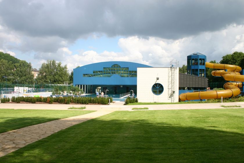
Drive on the A13 to the "Pétange" exit, drive through Pétange to Rodange and then follow the village centre towards the "PiKo" swimming pool
Parking:
Parking at the "PiKo" swimming pool on site, from here 500 meters on foot to the start.


 This website uses technology and content from the Outdooractive Platform.