Description
Hike through the vast nature reserve "Haard-Hesselsbierg-Staebierg" and discover how nature can reclaim everything.
The Minett Trail is a 90-kilometer-long hiking trail that runs across the Minett region. In ten stages, you can experience smaller and larger towns as well as eight nature reserves. These impress with old forests and former open-pit mining areas. They are unique in Luxembourg due to the steep rock faces, the red earth, and mine entrances.
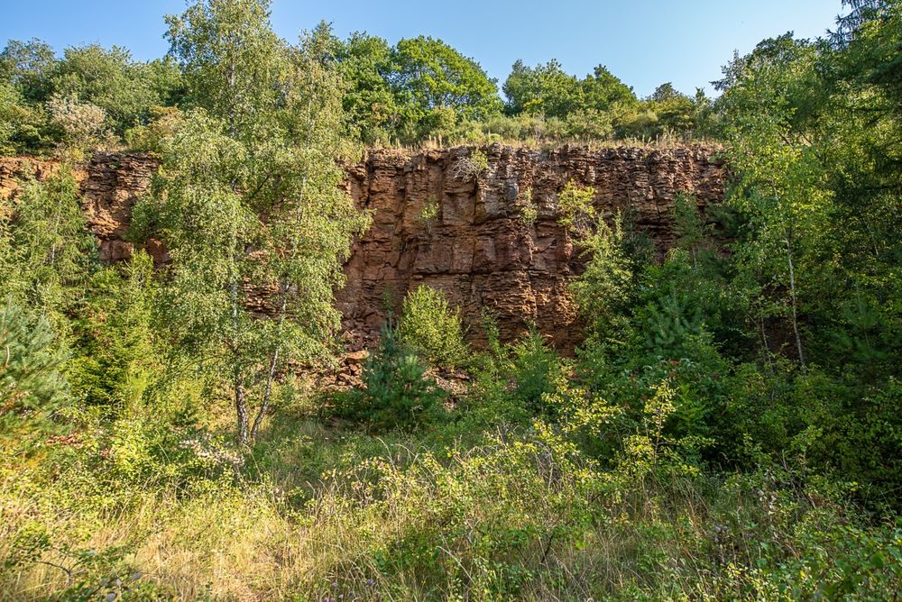
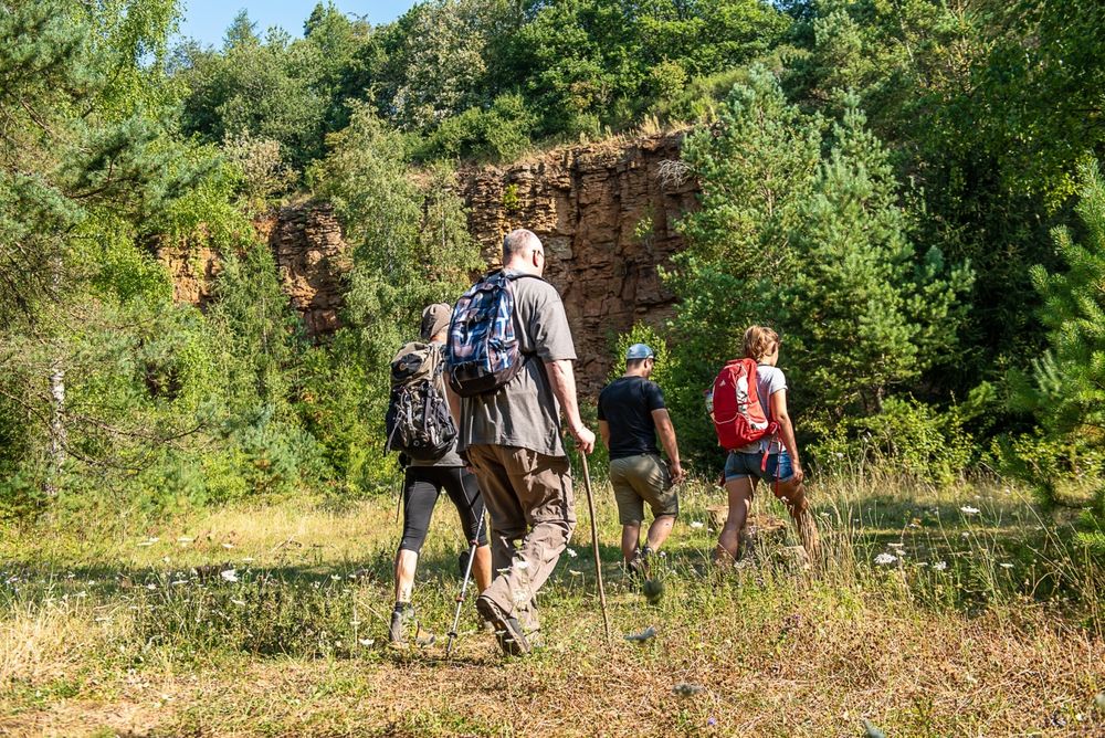
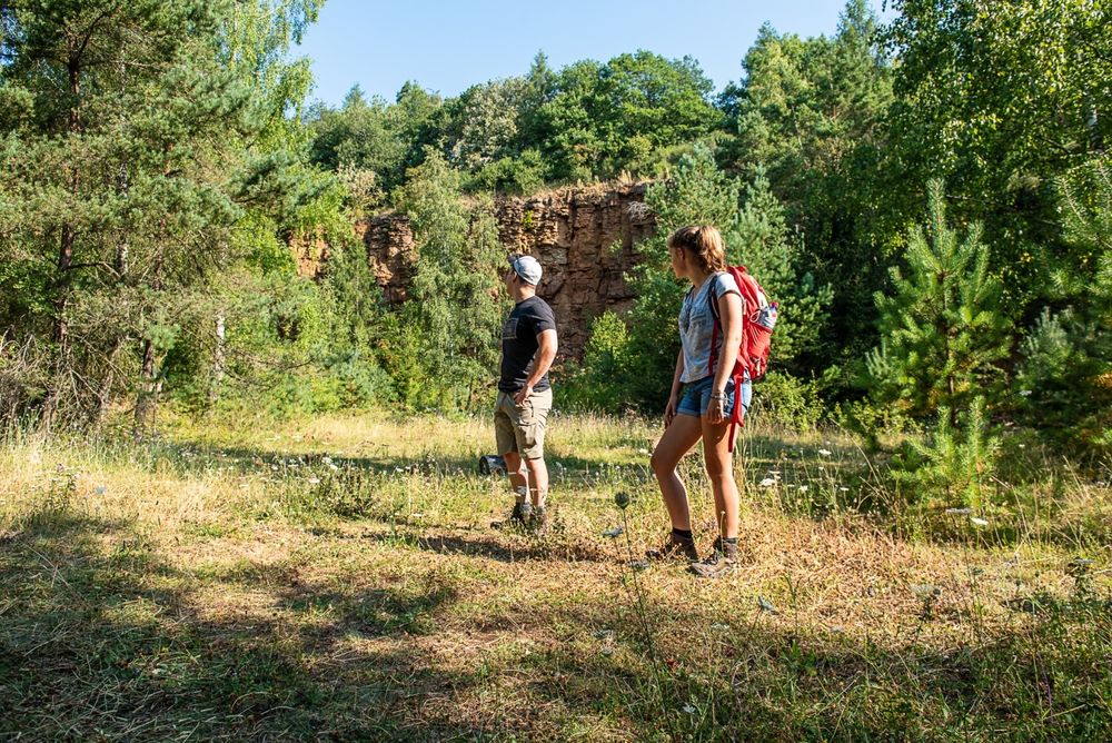
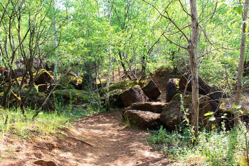
On this section, you will hike through the huge "Haard - Hesselsbierg - Staebierg" nature protection zone; massive rock formations, red cliffs, and dense forests dominate this former lunar landscape. For decades, the precious "Minette" ore was mined here, which from the early 20th century until late in the 1980s made an essential contribution to the country's economic development.
Within the nature reserve, the path passes by the longest continuous rock face in Europe, which also stands out due to its distinctive red color. Together with the exceptional biodiversity and nature in the "Haard-Hesselsbierg-Staebierg" reserve, this characterizes the strengths of this section.
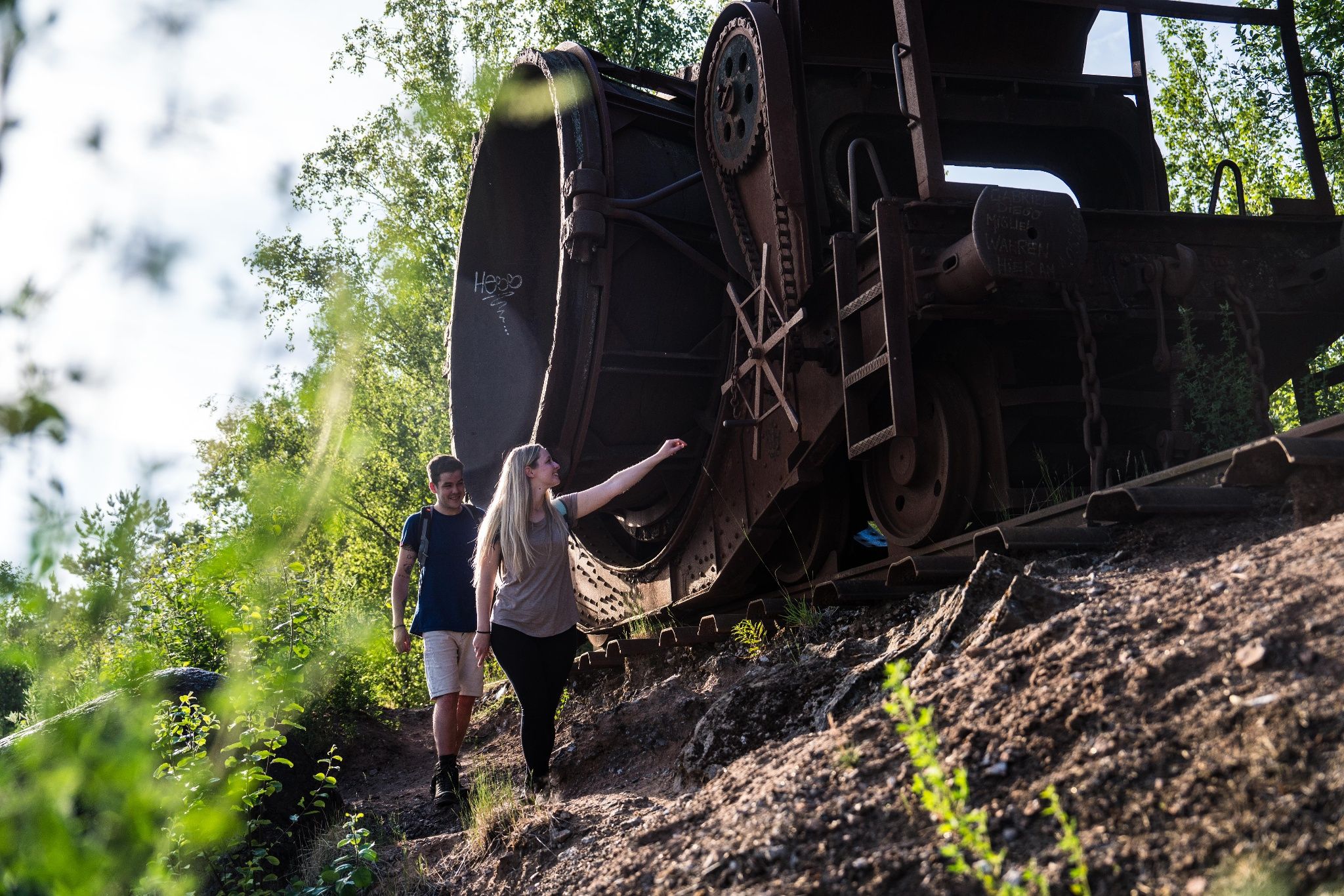
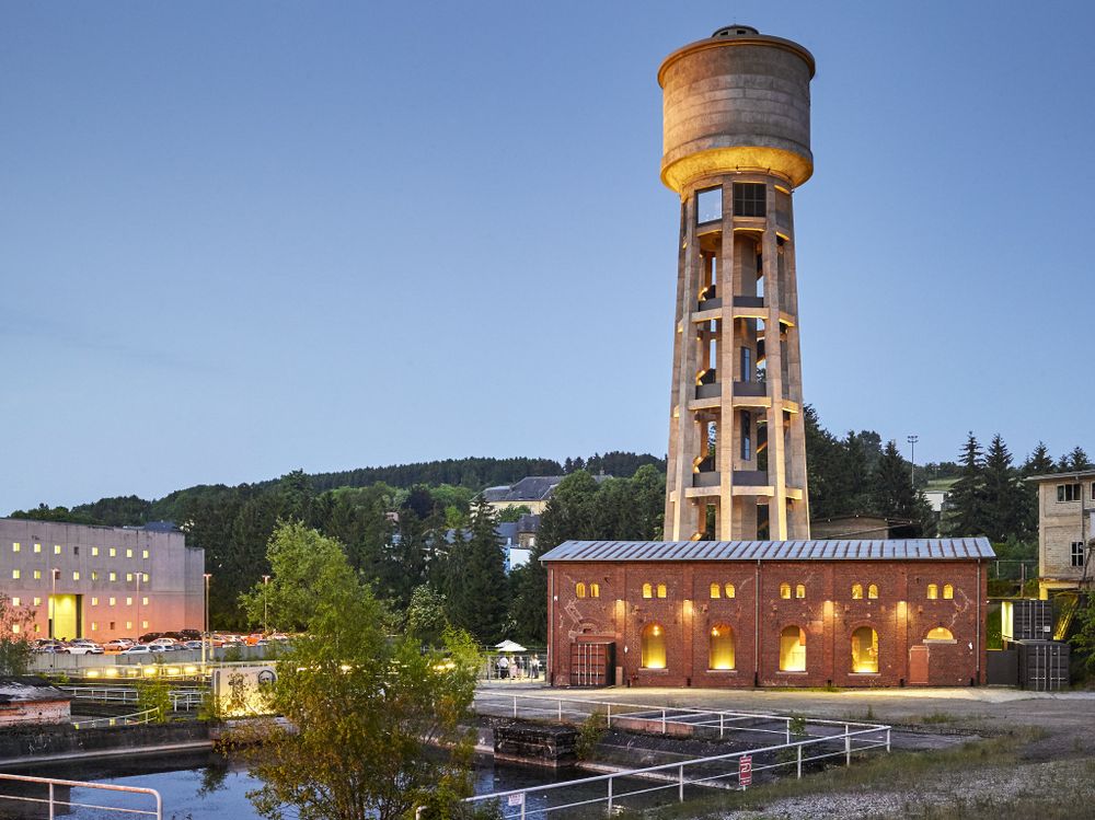
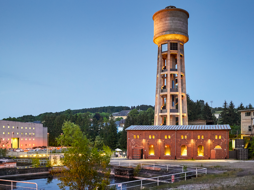
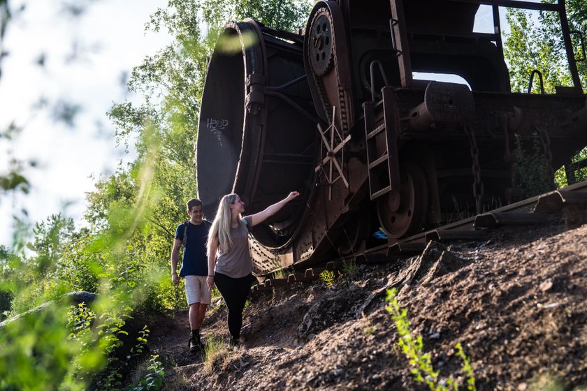
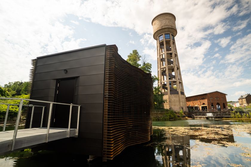
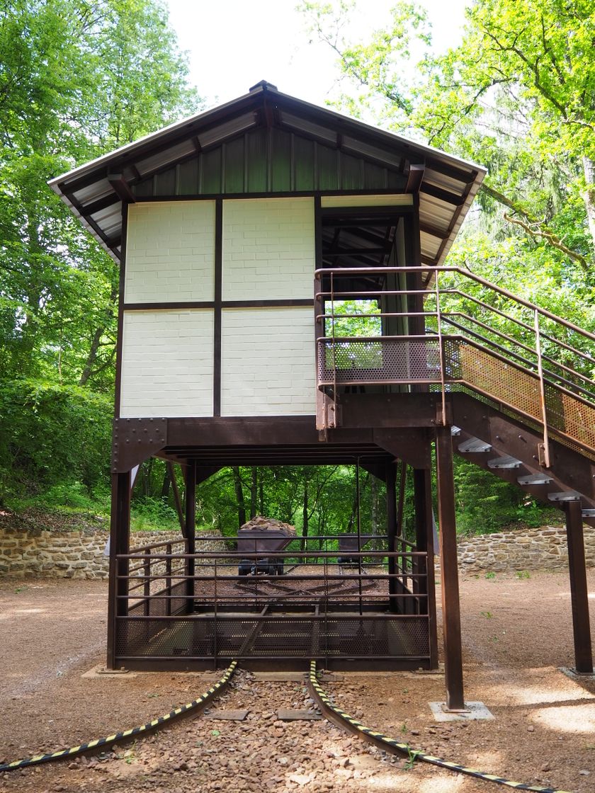
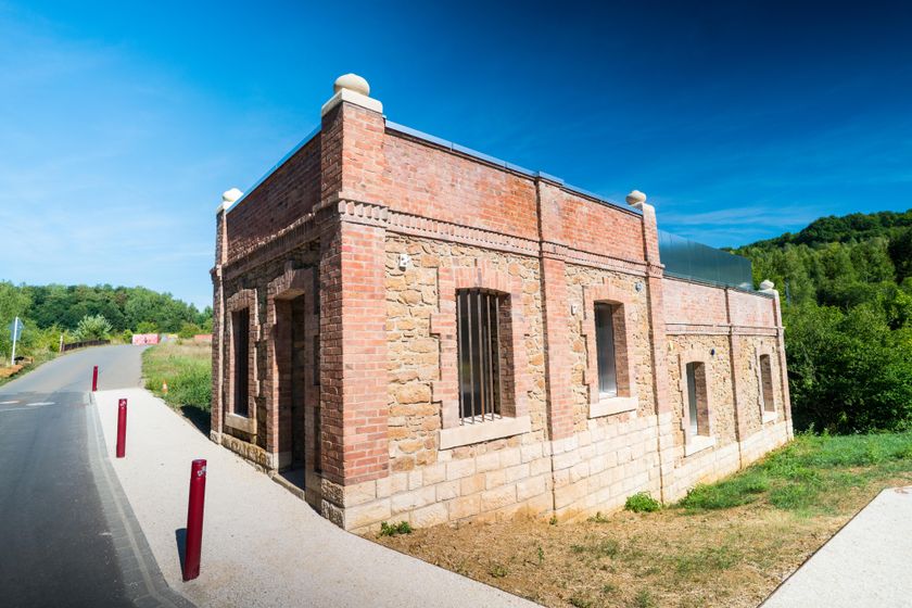
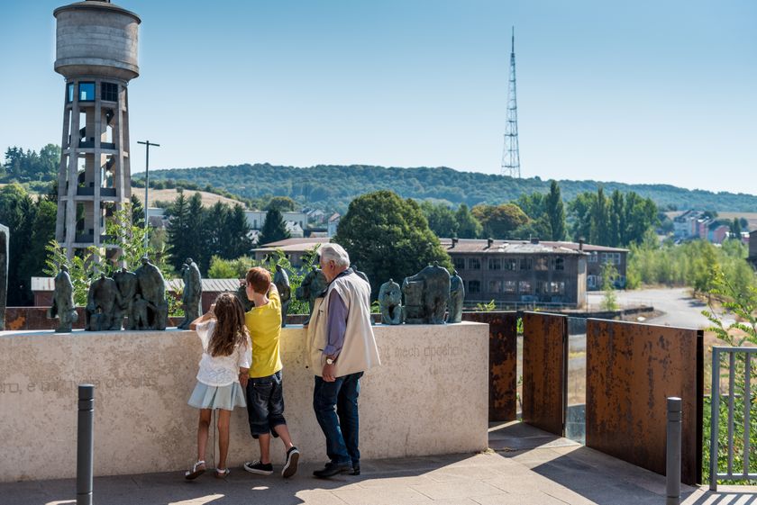
At the start in Rumelange, you will also find the Musée National des Mines, where you can participate in guided tours through the tunnels. Along the way, there are further witnesses to the industrial past: a slag tipping wagon (the "Humpen") and views of the former industrial area in Dudelange when arriving down from the nature reserve - with a view of the old water tower - stand out clearly.
WARNING: Unfortunately, this stage of the Minett Trail is regularly subject to vandalism. We recommend downloading the GPX data before hiking as the markings are often damaged or removed.

Signposting

Directions
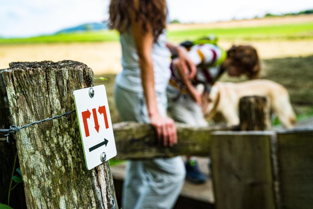
Please follow the "Minett Trail" signage, which you can follow in both directions on the route.
This section of the trail starts optionally next to the train station in Rumelange or at the Documentation Centre for Human Migration (CDMH) in Dudelange. Look out for the signage with three red arrows on a white background. They are "line of sight" signposted and may be attached to streetlights or other posts.
In nature, you will find them on trees and posts. At important junctions, you will also find signposts with arrows as direction indicators and information about distance to specific points, as well as pictograms with information about possible hiking destinations.
For your safety
Please be aware that mountain bikers may come towards you along certain sections and the trail partially crosses roads within towns. Therefore, please follow the posted signage, do not leave the path, and pay attention to your surroundings.
Equipment
Please remember to wear sturdy footwear and appropriate clothing in case of bad weather.
Journey
Start and finish are at train stations. Direct trains to Luxembourg City run from here.
Parking:
Parking available on site.


 This website uses technology and content from the Outdooractive Platform.