

Description
The Mullerthal Trail is supplemented by five ExtraRoutes, which are also very attractive hiking trails. They are suitable for getting to know the region or as additional routes when the other three routes have already been hiked.
The ExtraRoute D connects the Mullerthal Region with the Grünewald near the capital, where it links to a wider network of hiking trails.
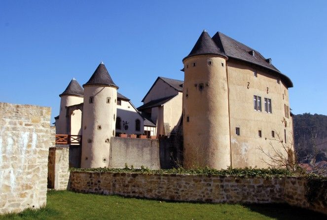
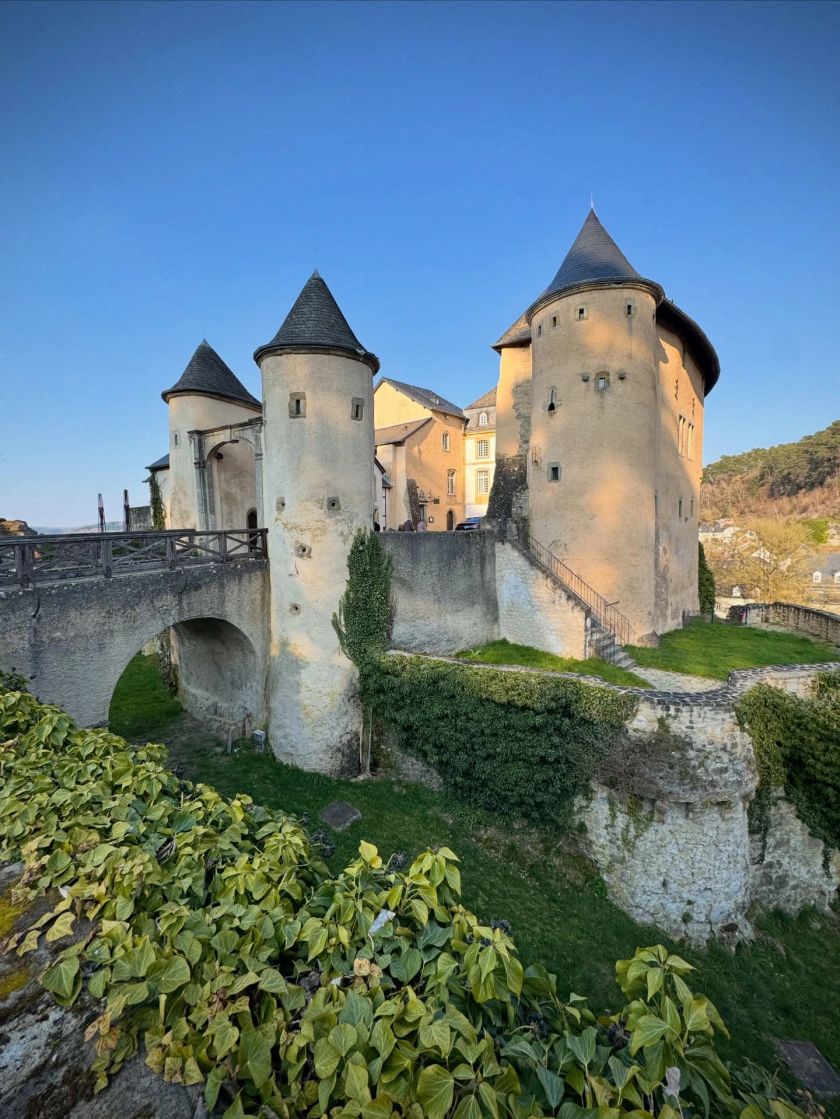
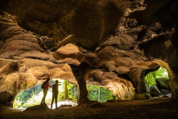
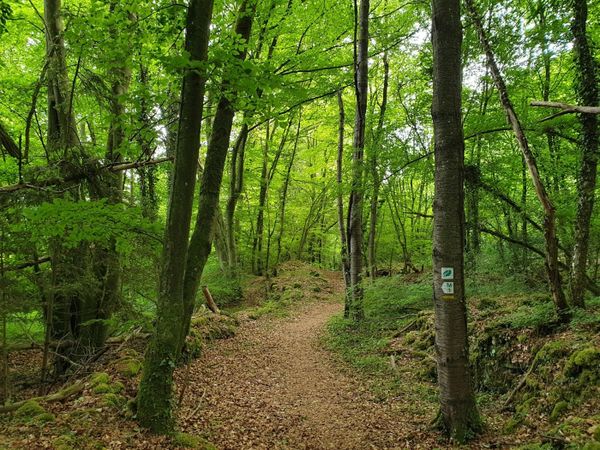
The route starts at the beautiful castle in the cobblestone streets of the small town of Bourglinster. From there, it passes through Altlinster and Schleifmillen, leading by the rock formations of the prehistoric cult site Häerdcheslay. Through a beautiful mixed forest and past a forest pond, the route continues via Blumenthal (connection to Mullerthal Trail Route 3) to Junglinster. After 18.5 km, hikers have the option of taking a shortcut directly back to Bourglinster. From Junglinster, the route follows beautiful forest paths to the "Grand Ducal Enclosure", a 500-hectare private nature reserve of the Grand Ducal family that has been open to the public since 2009.
Possible starting points:
Junglinster: Church
Bourglinster: Castle
Blumenthal: Center
Signposting

Directions
The route starts at the beautiful castle in the cobblestone streets of the small town of Bourglinster. From there, it passes through Altlinster and Schleifmillen, leading by the rock formations of the prehistoric cult site Häerdcheslay. Through a beautiful mixed forest and past a forest pond, the route continues via Blumenthal (connection to Mullerthal Trail Route 3) to Junglinster. After 18.5 km, hikers have the option of taking a shortcut directly back to Bourglinster. From Junglinster, the route follows beautiful forest paths to the "Grand Ducal Enclosure", a 500-hectare private nature reserve of the Grand Ducal family that has been open to the public since 2009.
Equipment
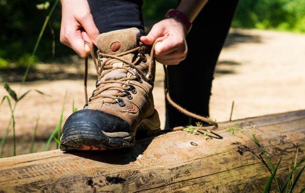
Sturdy footwear is recommended, especially in wet weather.
Journey
Nearest bus stops:
Junglinster, Gemeng
Bourglinster, Am Duerf
Blumenthal, Blummendall
Parking:
Nearest parking:
Junglinster: Church (on site)
Bourglinster: Castle (on site)

 This website uses technology and content from the Outdooractive Platform.