©Pancake!Photographie, Visit Luxembourg
Müllerthal Germany France

Mullerthal Trail – Section 9: Larochette–Beaufort

Hunting Season 2026/27 — Check for hunts

Autumn is here, and that means hunting season has begun! From mid-October to January/February, hunters are active across the country. Stay safe by checking hunt dates in your area on our Map. 

Click on Map in the Header > Services > More > Hunting.

Starting point

Larochette Place Bleech

Destination

Beaufort

Distance
12,32 km
Duration
3:20 h
Difficulty
difficult
  • Condition
Highest point
414 Hm
Lowest point
271 Hm
Aggregated Ascent
208 Hm
Aggregated Descent
165 Hm
Visit Luxembourg

Description

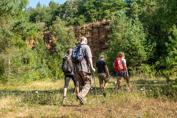
This section of the Mullerthal Trail leads from Larochette to Beaufort. It is one of 13 sections into which the entire Mullerthal Trail can be divided.

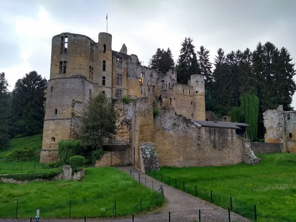
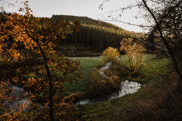
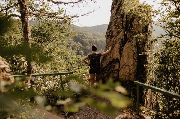
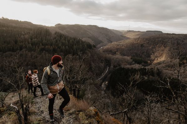
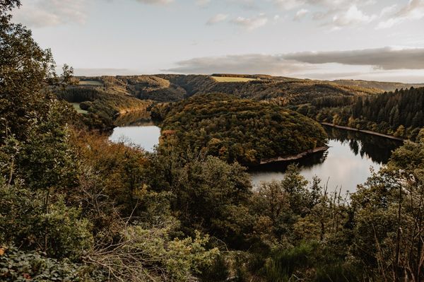
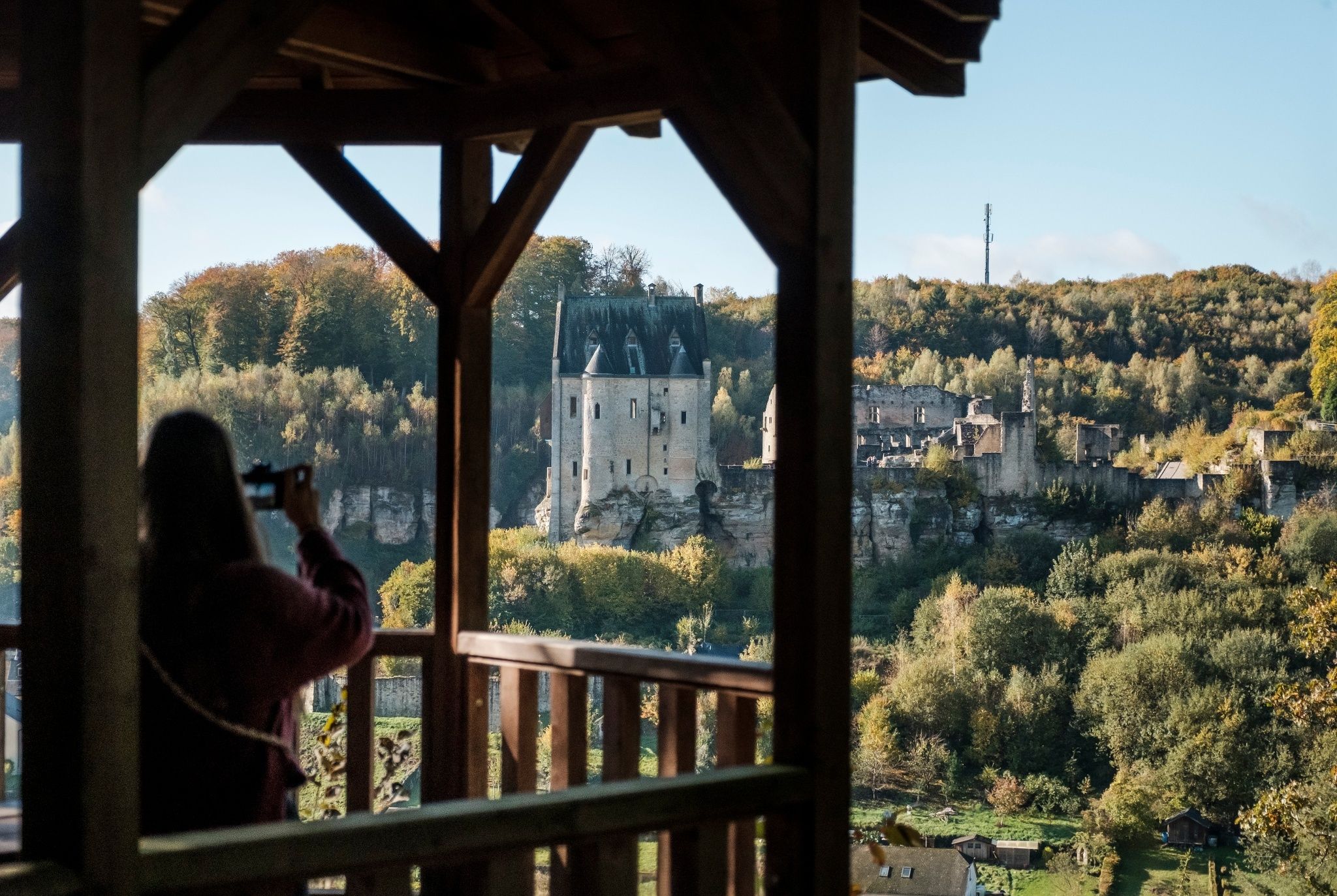
From castle to castle is the motto of this section of the Mullerthal Trail. The starting point is the Place Bleech in Larochette. The Mullerthal Trail crosses the square and leads behind the church up to the woods. After a short but steep climb, you enjoy a final glance for the viewpoint Salzdeebelchen on the castle. From there, the trail first passes through a light beech forest and continues to rise up to the plateau to an open landscape - past meadows, fields and farms. After a short forest followed by a tail-lined section at the end, you reach the highest point of the hike. Once there, a 360° panoramic view rewards you for the constant rise.

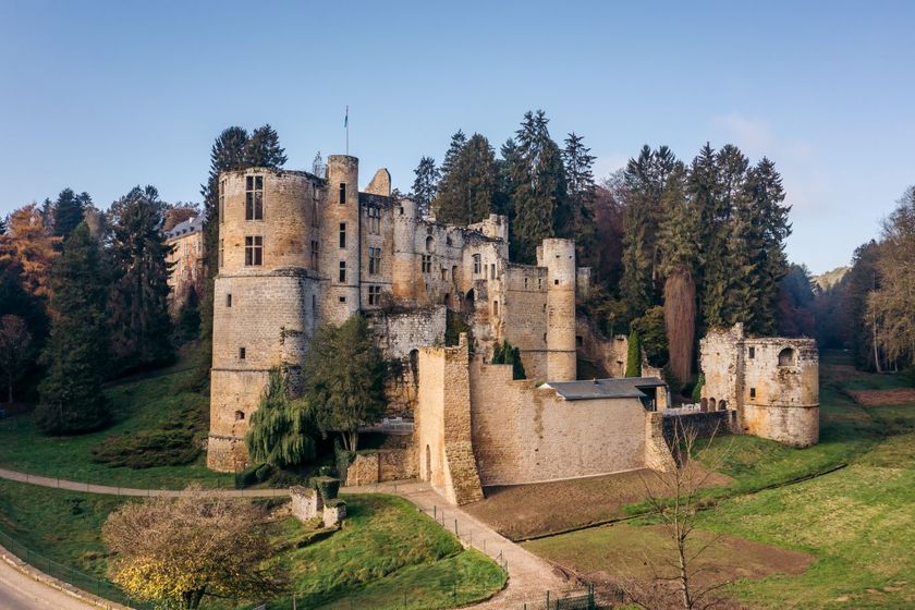
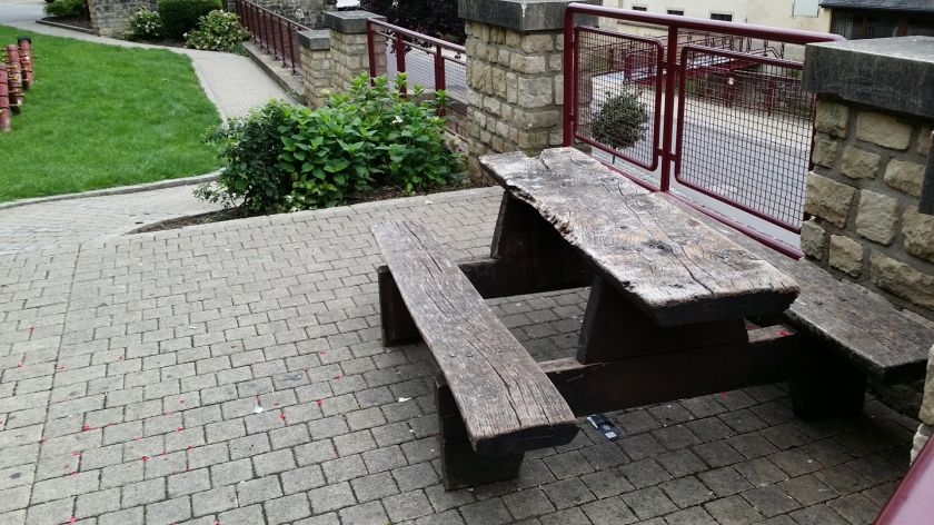
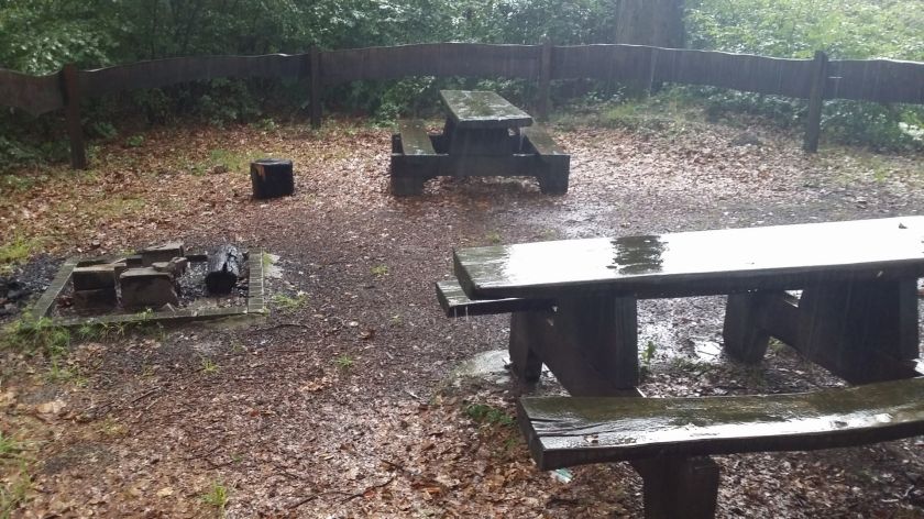
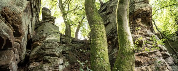
Thereafter the hike goes through a forest path up to Berens. Here the Mullerthal Trail develops into a narrow path that leads to Aleweier, on the banks of which a picnic area invites the hikers to rest. The path then runs along rock formations to an old washing area, the Klingelbuer. You continue on a wooden footbridge: at this point,you see the destination of your tour - Beaufort Castle.

Suggestions nearby

Mullerthal Trail – Section 9: Larochette–Beaufort

  • ©Pancake! Photographie
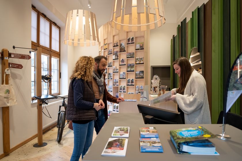
    Tourist Info Larochette
    Tourist Info Larochette
    Find out more
  • ©Auberge Rustique
    Auberge Rustique
    Pets allowedWifiRestaurant
  • ©Anne Lommel
    free
    with theLuxembourgPass
    Beaufort Castle
    Immerse yourself in the history of the medieval castle and discover how the last occupant lived in the Renaissance castle.
    Find out more
  • Natura 2000 area - Valley of the White Ernz
    Natura 2000 area - Valley of the White Ernz
    Find out more
  • Picnic area Schongfabrik Larochette
    Picnic area Schongfabrik Larochette
    Find out more
  • ©ORT MPSL
    Picnic area Medernach
    Picnic area Medernach
    Find out more

Similar hiking tours

©Visit Éislek, Visit Éislek
Éislek Pied
Éislek Pad Troisvierges
Distance: 19,34 km
Duration: 5:45 h
Difficulty: difficult
Find out more
©Pulsa Pictures, ORT SUD
Circular routes
Local hiking trail "Fitness & Promenades 7" (black)
Distance: 12,84 km
Duration: 3:30 h
Difficulty: difficult
Find out more
©Visit Luxembourg
Thematic paths
Bunker hiking route
Distance: 13,84 km
Duration: 4:30 h
Difficulty: difficult
Find out more
©Visit Luxembourg
Thematic paths
Sound Walk
Distance: 5,76 km
Duration: 1:45 h
Difficulty: difficult
Find out more
©D. Ketz, Eifel Tourismus GmbH, D. Ketz
NaturWanderPark Delux
NaturWanderPark delux: Rock path 2 (D-Bollendorf/L-Beaufort)
Distance: 20,29 km
Duration: 6:00 h
Difficulty: difficult
Find out more
©Pulsa Pictures, Pulsa Pictures & ORT Sud
Circular routes
Sentier des Mineurs
Distance: 24,53 km
Duration: 7:10 h
Difficulty: difficult
Find out more
©Visit Éislek, Visit Luxembourg
Éislek Pied
Éislek Pad Bourscheid
Distance: 14,81 km
Duration: 5:05 h
Difficulty: difficult
Find out more
©Visit Éislek, Visit Éislek
Éislek Pied
Éislek Path Kautenbach
Distance: 14,44 km
Duration: 4:59 h
Difficulty: difficult
Find out more
©Visit Éislek, Visit Éislek
Circular routes
Circuit du Lac (western part)
Distance: 26,73 km
Duration: 8:20 h
Difficulty: difficult
Find out more
outdooractive This website uses technology and content from the Outdooractive Platform.