Hunting Season 2026/27 — Check for hunts

Autumn is here, and that means hunting season has begun! From mid-October to January/February, hunters are active across the country. Stay safe by checking hunt dates in your area on our Map. 

Click on Map in the Header > Services > More > Hunting.

Starting point

Blumenthal

Destination

Larochette

Distance
8,15 km
Duration
2:15 h
Difficulty
medium
  • Condition
Highest point
371 Hm
Lowest point
271 Hm
Aggregated Ascent
139 Hm
Aggregated Descent
150 Hm
Visit Luxembourg

Description

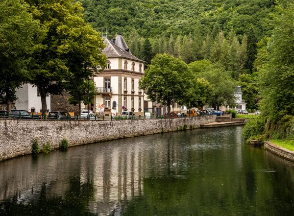
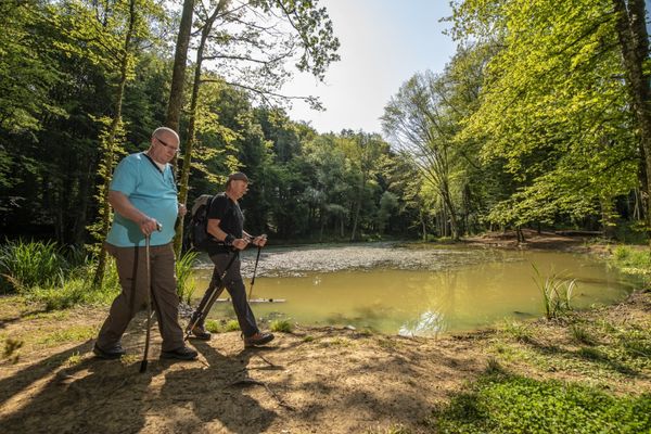
This section of the Mullerthal Trail leads from Blumenthal to Larochette. It is one of 13 sections into which the entire Mullerthal Trail can be divided.

This section of the Mullerthal Trail leads from the Black to the White Ernz. The starting point in the village of Blumenthal is located on the Black Ernz. The Mullerthal Trail leads towards Heffingen, leaves the valley after a short time and climbs steeply up into the woods.

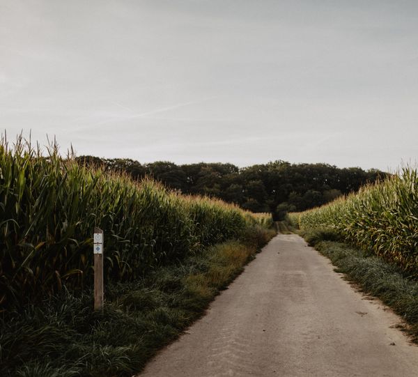
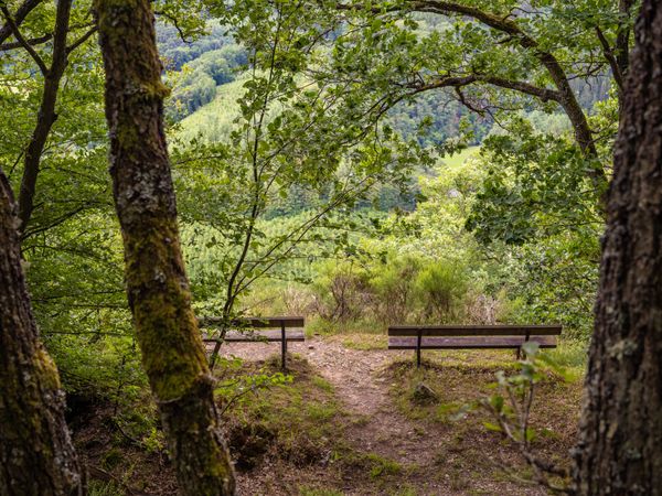
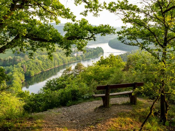
Once on the plateau, you will have an open, agricultural embossed stretch to make. The viewpoint Houbierg offers top long-distance views over fields and meadows.

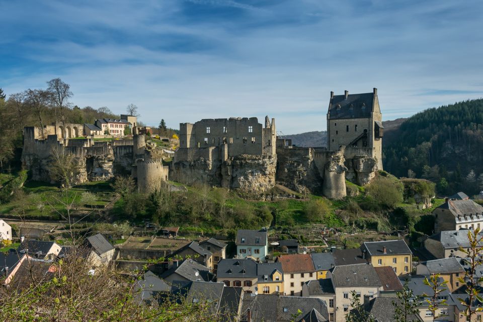
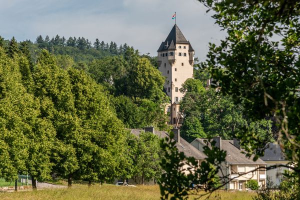
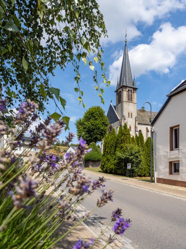
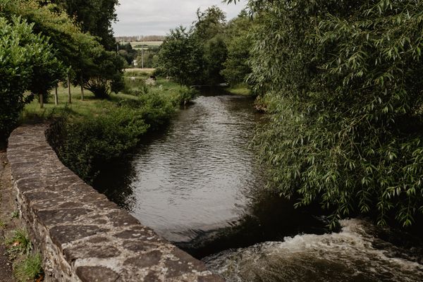
The Mullerthal Trail then leads through a forest with charming rock sections down into the valley of the White Ernz. In parallel to the stream, it continues to Supp. Behind the village, the MullerthalTrail leaves the stream, leads up to the forest and on beautiful,narrow paths towards Larochette. The huge ruins of the castle of Larochette, which lies above the village, already welcome you from far. Arrived in Larochette, the path leads down to the village, next to the White Ernz.

Suggestions nearby

Mullerthal Trail – Section 8: Blumenthal–Larochette

  • ©Restaurant de l'Hostellerie de la Vallée
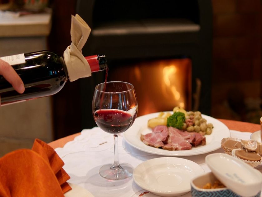
    Restaurant de l'Hostellerie de la Vallée
    Restaurant de l'Hostellerie de la Vallée
    Find out more
  • Barbecue place Larochette
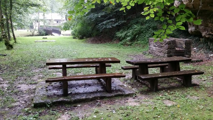
    Barbecue area near the forest with seating.
    Find out more
  • Picnic area Schongfabrik Larochette
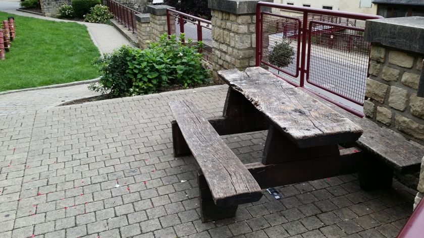
    Picnic area Schongfabrik Larochette
    Find out more
  • ©ORT MPSL
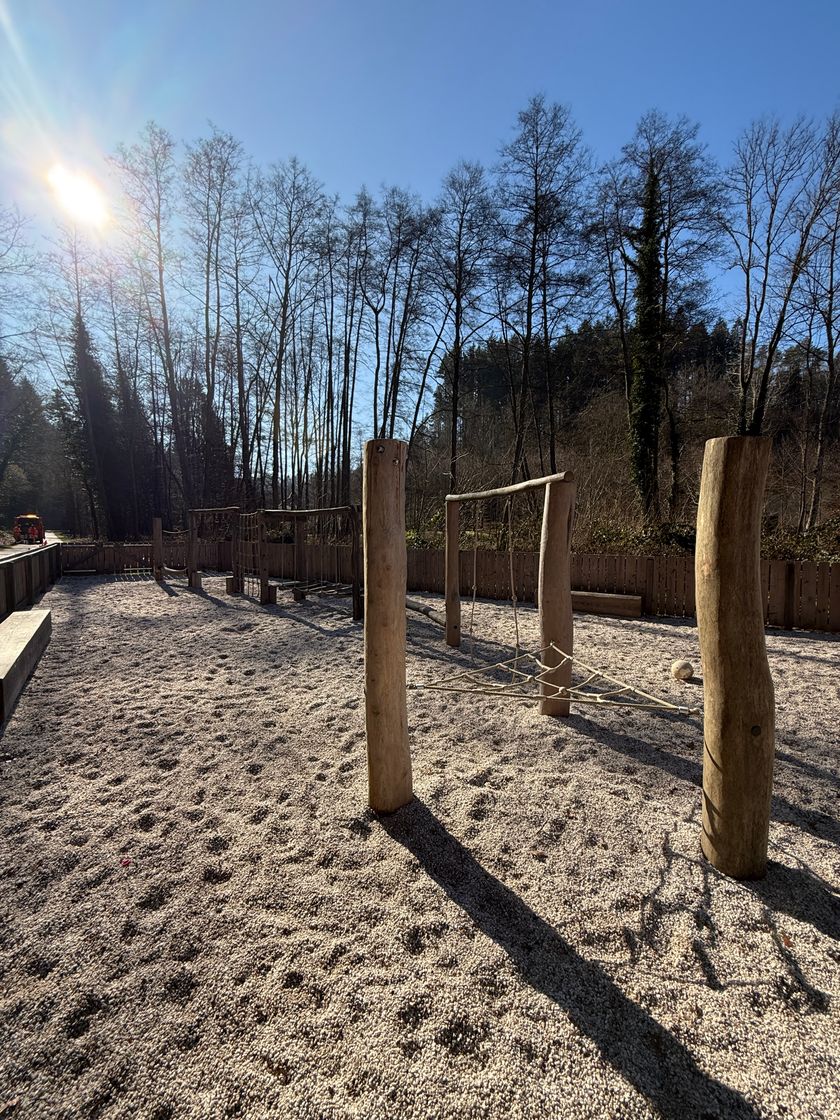
    Playground Larochette "Um Daeich"
    Playground Larochette "Um Daeich"
    Find out more
  • ©Pancake! Photographie
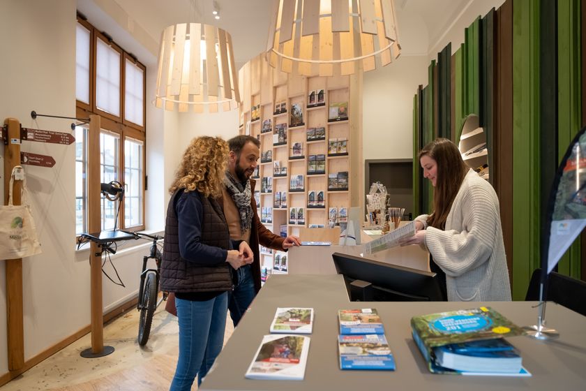
    Tourist Info Larochette
    Tourist Info Larochette
    Find out more

Similar hiking tours

©Visit Éislek
Circular routes
Auto-Pédestre hiking route Heiderscheid
Distance: 7,97 km
Duration: 2:25 h
Difficulty: medium
Find out more
©Dan Castiglia, Visit Éislek
Circular routes
Auto-Pédestre route Colmar-Berg
Distance: 7,24 km
Duration: 2:00 h
Difficulty: medium
Find out more
©Visit Éislek
Circular routes
Auto-Pédestre hiking route Esch-Sur-Sûre
Distance: 9,72 km
Duration: 3:10 h
Difficulty: medium
Find out more
©Pulsa Pictures, ORT SUD
Thematic paths
Nature walk "Natura 2000" - Ellergronn
Distance: 11,89 km
Duration: 3:10 h
Difficulty: medium
Find out more
©Visit Luxembourg
Circular routes
Auto-Pédestre Hiking Trail Holtz
Distance: 8,92 km
Duration: 2:30 h
Difficulty: medium
Find out more
©Visit Éislek
Circular routes
Auto-Pédestre hiking route Arsdorf
Distance: 11,05 km
Duration: 3:10 h
Difficulty: medium
Find out more
©Visit Éislek
Circular routes
Auto-Pédestre route Goesdorf
Distance: 6,87 km
Duration: 2:10 h
Difficulty: medium
Find out more
©Visit Éislek
Circular routes
Auto-Pédestre hiking route Wilwerwiltz
Distance: 9,65 km
Duration: 2:50 h
Difficulty: medium
Find out more
©Runtschelt, Visit Éislek
Circular routes
Auto-Pédestre Hiking Trail Kaundorf
Distance: 8,51 km
Duration: 2:25 h
Difficulty: medium
Find out more
outdooractive This website uses technology and content from the Outdooractive Platform.