©Pancake! Photographie, Visit Luxembourg
Müllerthal Germany France

Mullerthal Trail – Section 6: Berdorf–Müllerthal

Hunting Season 2026/27 — Check for hunts

Autumn is here, and that means hunting season has begun! From mid-October to January/February, hunters are active across the country. Stay safe by checking hunt dates in your area on our Map. 

Click on Map in the Header > Services > More > Hunting.

Starting point

Berdorf

Destination

Mullerthal

Distance
6,62 km
Duration
2:05 h
Difficulty
medium
  • Condition
Highest point
376 Hm
Lowest point
208 Hm
Aggregated Ascent
47 Hm
Aggregated Descent
223 Hm
Visit Luxembourg

Description

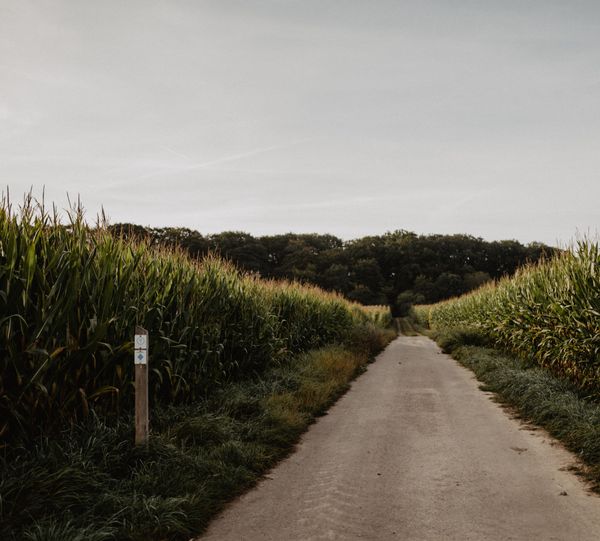
This section of the Mullerthal Trail leads from Berdorf to Müllerthal. It is one of 13 sections into which the entire Mullerthal Trail can be divided.

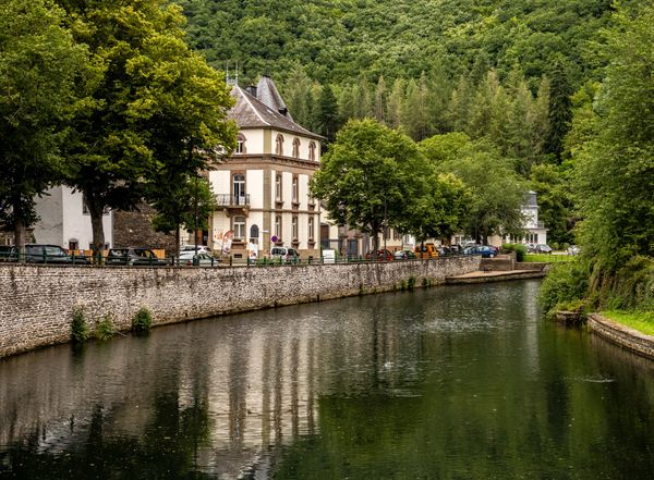
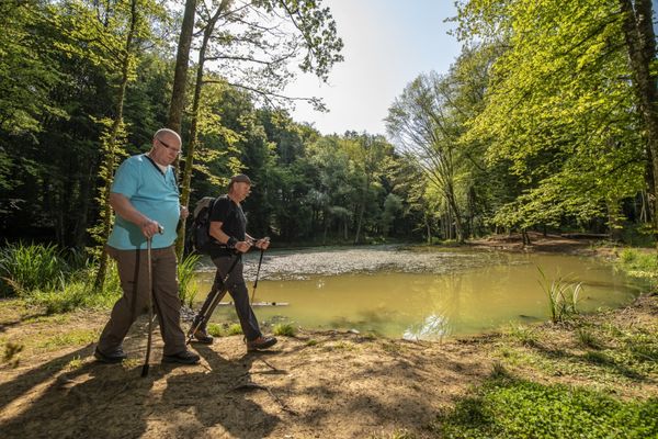
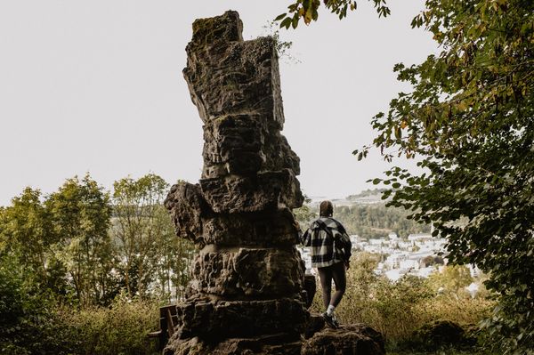
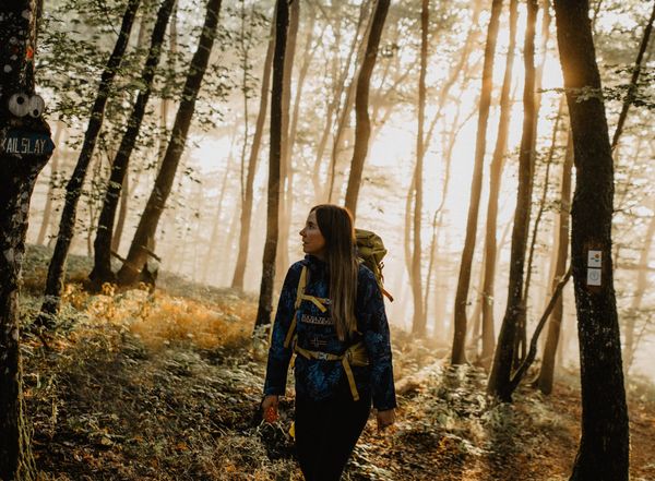
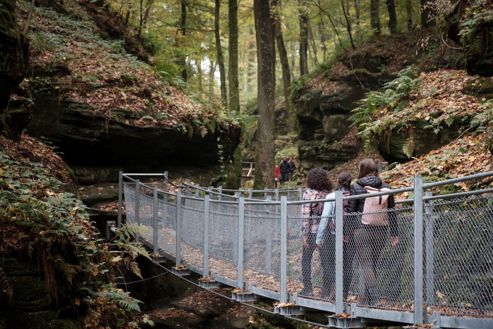
The center of Berdorf, surrounded by rocks, lies on a plateau and is the starting point of this section. From there, the Mullerthal Trail first runs through the locality and then into its rocky landscape that impresses by massive cliffs, gorges and caves. The route leads along the romantic valley of Ruetsbaach and passes over a suspension bridge towards Ruetsbechschlëff. A trip to the plateau of Ruetsbechschlëff is recommended.

In the following section, further rocky highlights are lined up -including Binzeltschlëff, Priedegtstull and Werschrummschlëff. During the second half of the section, you pass through the natural forest area called Nature forest Schnellert, a beautiful and wild part of the MullerthalTrail. The Heringer Millen in the village of Mullerthal is the arrival of this stage. This mill used to be one of the major mills in the region and now houses a tourist center and a restaurant.

Suggestions nearby

Mullerthal Trail – Section 6: Berdorf–Müllerthal

  • ©Hotel Le Cigalon
    Hotel Le Cigalon
    Pets allowedGarden / ParkParkingWellnessWifiRestaurant
  • Natura 2000 area - Valley of the Black Ernz
    Natura 2000 area - Valley of the Black Ernz
    Find out more
  • ©Charel Heinen
    Brasserie Heringer Millen
    Eat, drink, relax – the Brasserie Heringer Millen in the locality of Mullerthal welcomes you.
    Find out more
  • ©ORT MPSL
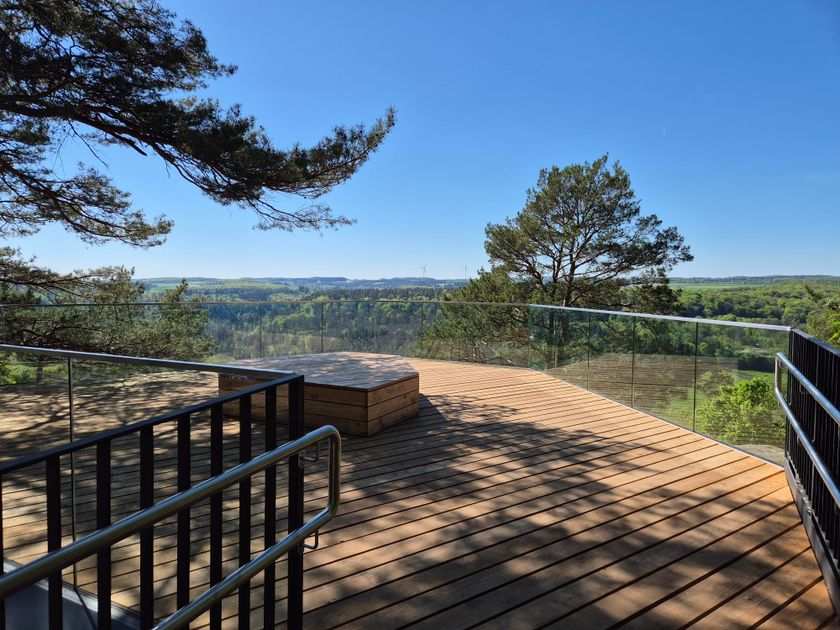
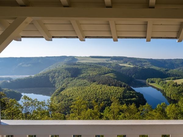
    Viewing Platform Ruetsbech
    Built in 2025, the Ruetsbech viewing platform overlooks the valley of the Black Ernz and the characteristic landscapes of the Mullerthal Region.
    Find out more
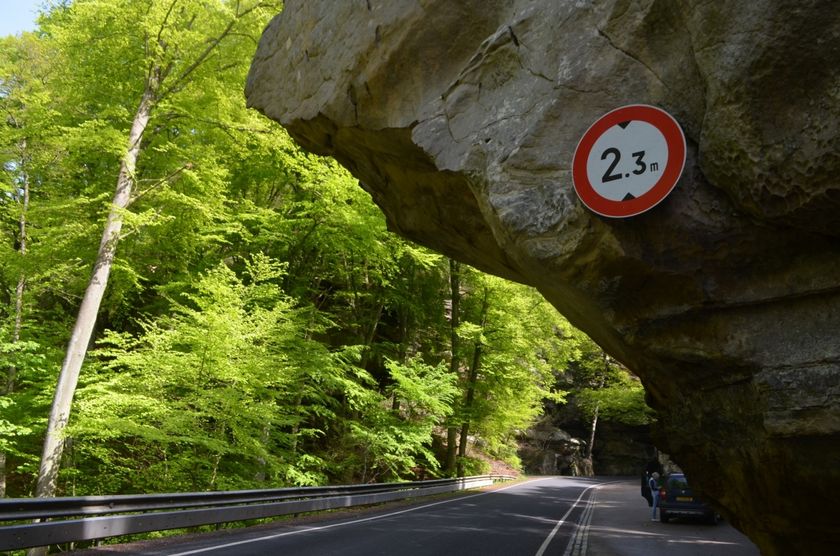
  • Rock formation "Priedegtstull"
    The impressive rock overhangs the road and offers an impressive view.
    Find out more
  • Rock formation "Raiberhiel"
    Enter one of the narrowest caves in the region and climb out again via the stairs.
    Find out more

Similar hiking tours

©Visit Luxembourg
Circular routes
Local hiking trail GM2 - Gruussfooscht/Haard
Distance: 6,93 km
Duration: 2:00 h
Difficulty: medium
Find out more
©Visit Éislek
Circular routes
Auto-Pédestre route Lieler
Distance: 7,85 km
Duration: 2:15 h
Difficulty: medium
Find out more
©Visit Éislek
Circular routes
Auto-Pédestre hiking route Esch-Sur-Sûre
Distance: 9,72 km
Duration: 3:10 h
Difficulty: medium
Find out more
©Pulsa Pictures, ORT SUD
Thematic paths
Nature walk "Natura 2000" - Ellergronn
Distance: 11,89 km
Duration: 3:10 h
Difficulty: medium
Find out more
©Visit Luxembourg
Circular routes
Auto-Pédestre Stolzembourg hiking trail
Distance: 7,59 km
Duration: 2:15 h
Difficulty: medium
Find out more
©Visit Éislek, Visit Éislek
Éislek Pied
Éislek Path Diekirch
Distance: 14,51 km
Duration: 4:15 h
Difficulty: medium
Find out more
©Visit Luxembourg
Circular routes
Auto-Pédestre Hiking Trail Dahl
Distance: 9,05 km
Duration: 2:45 h
Difficulty: medium
Find out more
©Lynn Schüssler, Visit Luxembourg
Éislek Pied
Éislek Pad Heinerscheid
Distance: 15,84 km
Duration: 4:50 h
Difficulty: medium
Find out more
©Visit Éislek
Circular routes
Auto-Pédestre Baschleiden route
Distance: 8,55 km
Duration: 2:40 h
Difficulty: medium
Find out more
outdooractive This website uses technology and content from the Outdooractive Platform.