©Visit Luxembourg

Mullerthal Trail – Section 3: Moersdorf–Herborn

Hunting Season 2026/27 — Check for hunts

Autumn is here, and that means hunting season has begun! From mid-October to January/February, hunters are active across the country. Stay safe by checking hunt dates in your area on our Map. 

Click on Map in the Header > Services > More > Hunting.

Starting point

Moersdorf village square

Destination

Herborn

Distance
9,20 km
Duration
2:35 h
Difficulty
medium
  • Condition
Highest point
356 Hm
Lowest point
148 Hm
Aggregated Ascent
264 Hm
Aggregated Descent
107 Hm
Visit Luxembourg

Description

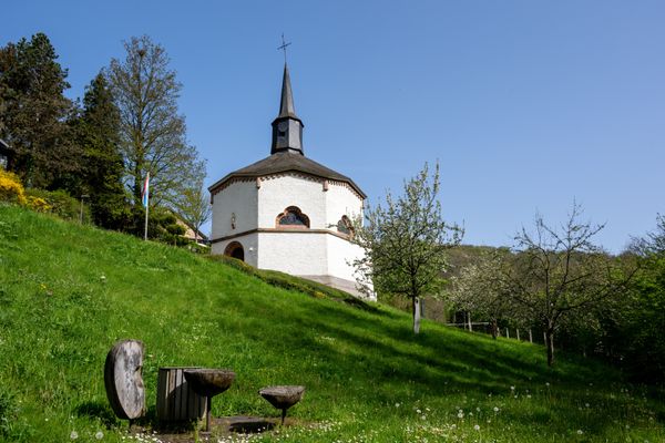
This section of the Mullerthal Trail leads from Moersdorf to Herborn. It is one of 13 sections into which the entire Mullerthal Trail can be divided.

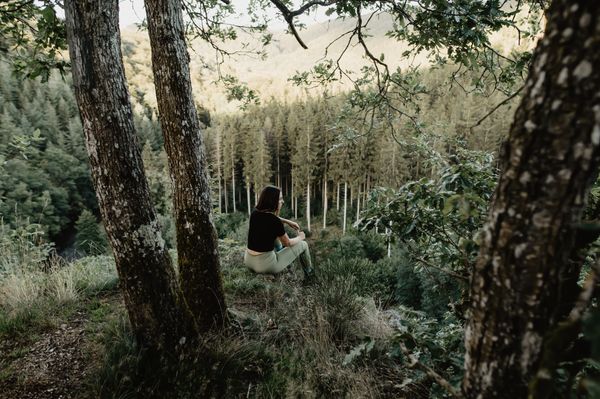
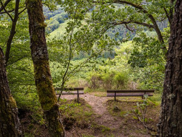
From Moersdorf, the Mullerthal Trail first winds through the nature reserve of Deiwelskopp with its different forest types such as high, low and ravine forest and calcareous dry grasslands with a multitude of species.

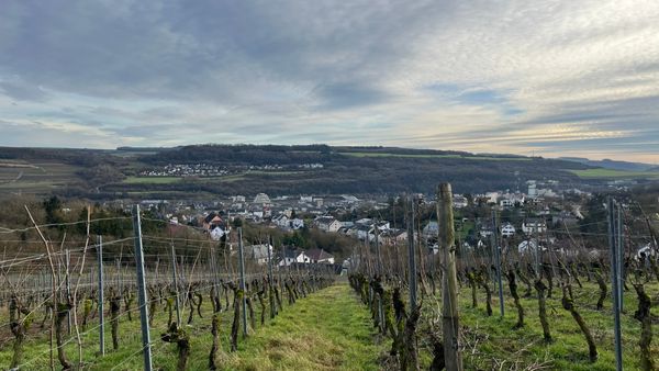
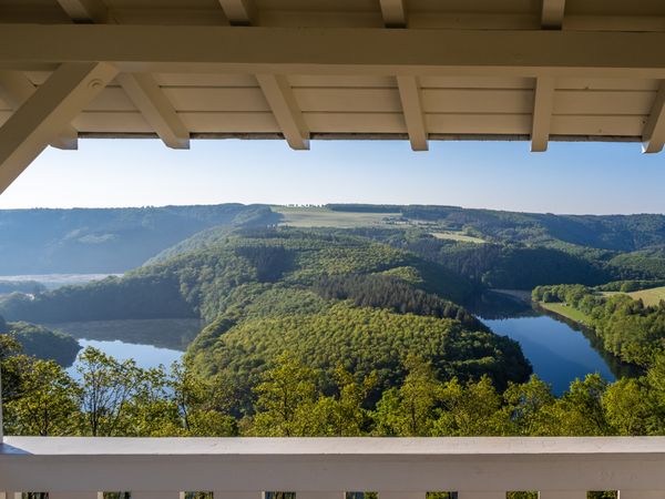
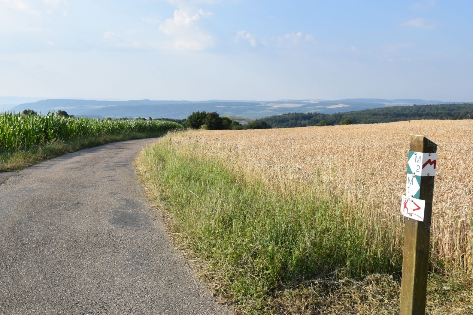
After a steep ascent to the plateau, the hiker will be rewarded with magnificent views on the Sûre and even onto the Moselle. From here, the hiker continues across open agricultural land until behind Mompach.

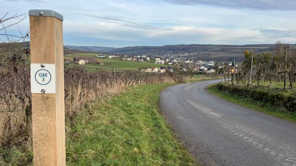
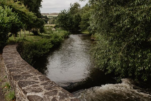
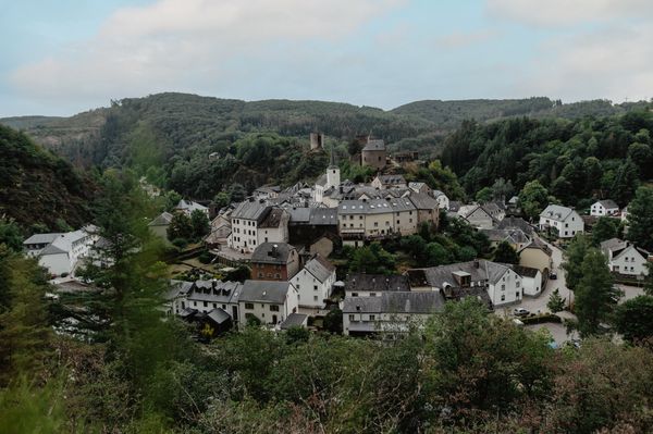
The village has managed to preserve its rural character and its appealby the disclosure of the Klengelbaach. The Mullerthal Trail crosses the village center and then leads through the forest called Honsréck in the direction of Herborn. Shortly after the forest, the hiker enjoys wonderful panoramic views on the village of Herborn.

Similar hiking tours

©Visit Luxembourg
Circular routes
Local hiking trail GM2 - Gruussfooscht/Haard
Distance: 6,93 km
Duration: 2:00 h
Difficulty: medium
Find out more
©Visit Luxembourg
Circular routes
Local hiking trail GM3 - Groësteen
Distance: 8,37 km
Duration: 2:30 h
Difficulty: medium
Find out more
©Visit Éislek
Circular routes
Auto-Pédestre hiking route Heiderscheid
Distance: 7,97 km
Duration: 2:25 h
Difficulty: medium
Find out more
©Jeniska, Visit Éislek
Circular routes
Auto-Pédestre hiking route Roder
Distance: 7,64 km
Duration: 2:30 h
Difficulty: medium
Find out more
©Visit Éislek
Circular routes
Auto-Pédestre route Goesdorf
Distance: 6,87 km
Duration: 2:10 h
Difficulty: medium
Find out more
©Visit Éislek
Circular routes
Auto-Pédestre Baschleiden route
Distance: 8,55 km
Duration: 2:40 h
Difficulty: medium
Find out more
©Visit Éislek
Circular routes
Auto-Pédestre hiking route Wilwerwiltz
Distance: 9,65 km
Duration: 2:50 h
Difficulty: medium
Find out more
©Visit Éislek
Circular routes
Auto-Pédestre Hiking Trail Consthum
Distance: 7,72 km
Duration: 2:15 h
Difficulty: medium
Find out more
©Visit Luxembourg
Circular routes
Circuit du Lac (eastern part)
Distance: 16,79 km
Duration: 5:30 h
Difficulty: medium
Find out more
outdooractive This website uses technology and content from the Outdooractive Platform.