©Jemp Origer, Visit Luxembourg

Mullerthal Trail – Section 12: Hersberg–Scheidgen

Hunting Season 2026/27 — Check for hunts

Autumn is here, and that means hunting season has begun! From mid-October to January/February, hunters are active across the country. Stay safe by checking hunt dates in your area on our Map. 

Click on Map in the Header > Services > More > Hunting.

Starting point

Hersberg Bildchen

Destination

Scheidgen

Distance
8,32 km
Duration
2:15 h
Difficulty
medium
  • Condition
Highest point
387 Hm
Lowest point
301 Hm
Aggregated Ascent
112 Hm
Aggregated Descent
188 Hm
Visit Luxembourg

Description

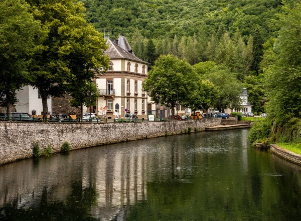
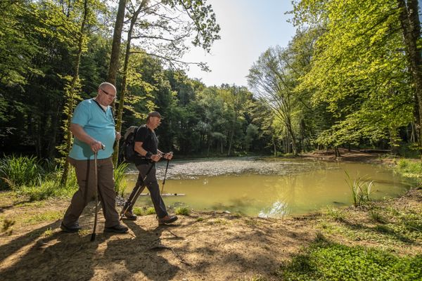
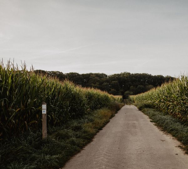
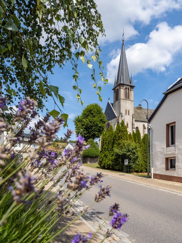
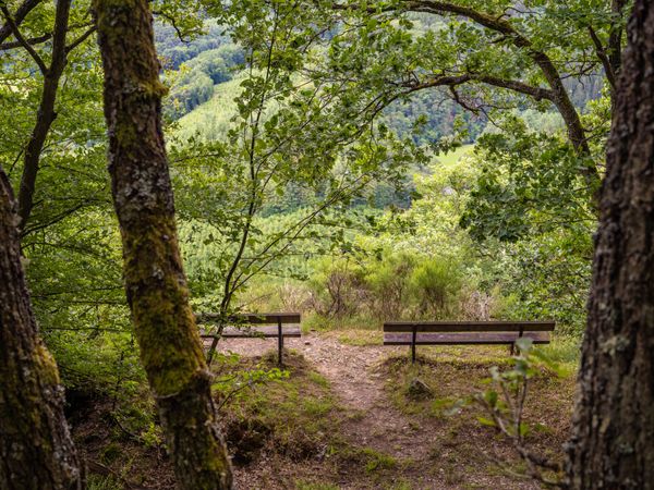
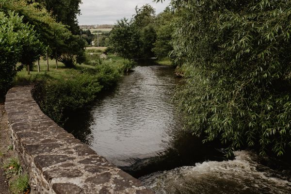
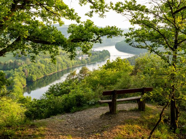
This section of the Mullerthal Trail leads from Hersberg to Scheidgen. It is one of 13 sections into which the entire Mullerthal Trail can be divided.

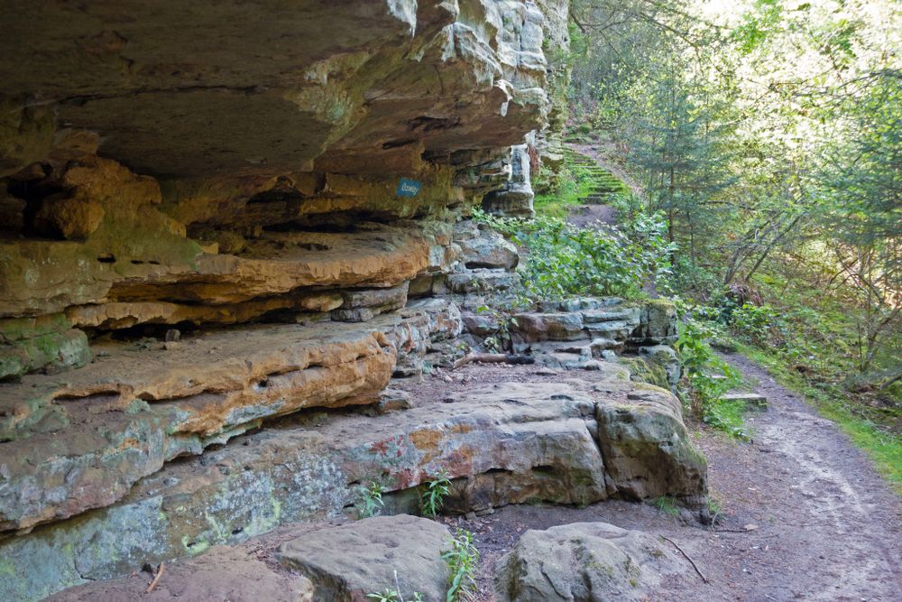
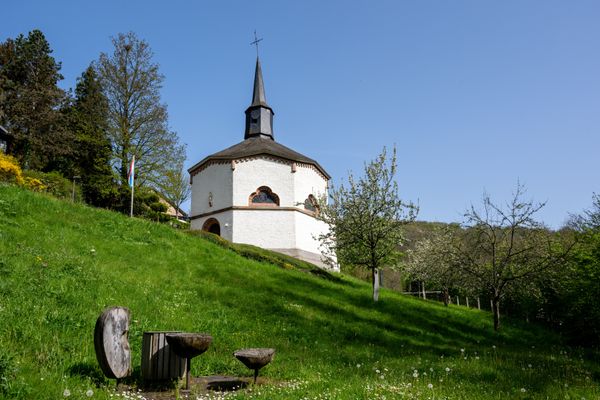
From the starting point in Hersberg, the Mullerthal Trail leads first to Bildchen, an ancient oak, which houses a small statue of Virgin Mary. A relatively steep narrow path leads then parallel to Steebach on the plateau surface. At the foot of the steep cliff, prehistoric grinding grooves can be seen. The sandstone has been used to grind the stone tools. From there, the Mullerthal Trail runs througha beautiful landscape with forests, rocks and open areas.

After crossing the road, you pass along the Méchelskierch, a rockcave that, according to the traditions of the end of the 18th century, is said to have been a hermitage.

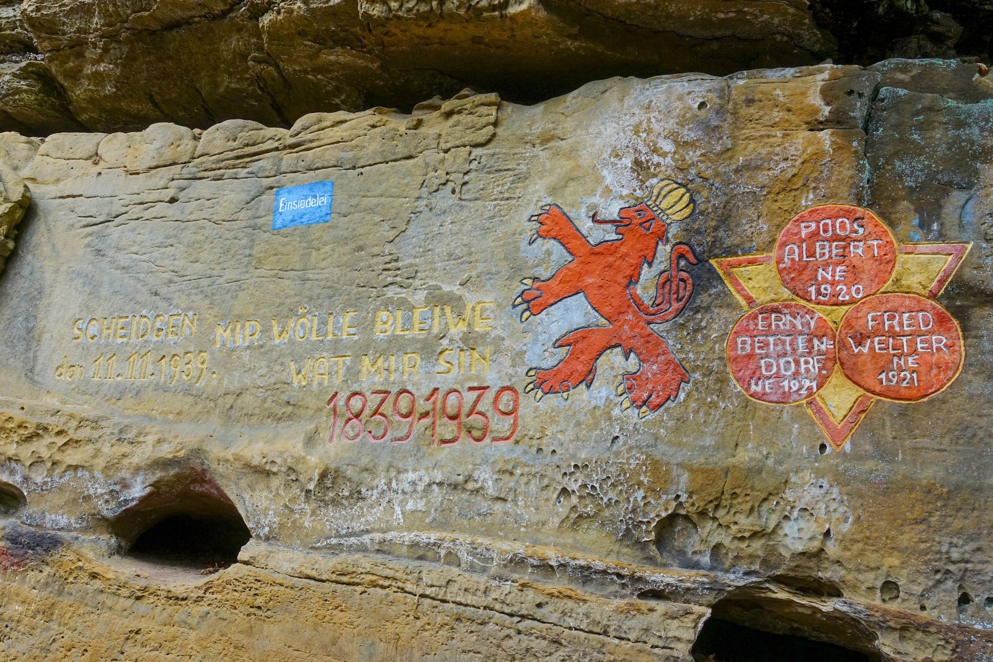
From this point, the Mullerthal Trail passes first through a wooden area and then after a few kilometers, further on narrow paths, past impressive rock formations such as Dachselee, Einsiedelei or Herrgottskapp. With a little imagination, you can recognize fairytale figures in the rocky walls. Scheidgen is the destination of this stage.

Suggestions nearby

Mullerthal Trail – Section 12: Hersberg–Scheidgen

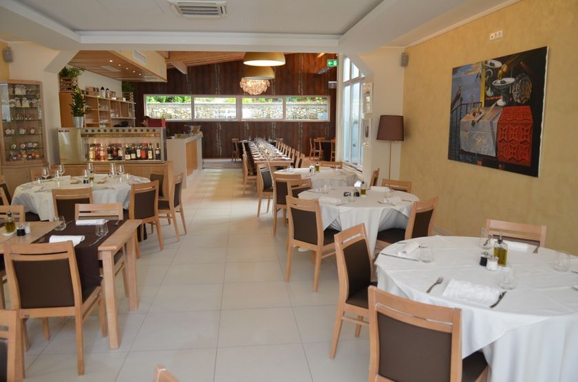
  • ©Restaurant Grill Bon Repos
    Restaurant Grill Bon Repos
    Restaurant Grill Bon Repos
    Find out more

Similar hiking tours

©Visit Éislek
Circular routes
Auto-Pédestre hiking route Heiderscheid
Distance: 7,97 km
Duration: 2:25 h
Difficulty: medium
Find out more
©Dan Castiglia, Visit Éislek
Circular routes
Auto-Pédestre route Colmar-Berg
Distance: 7,24 km
Duration: 2:00 h
Difficulty: medium
Find out more
©Visit Éislek
Circular routes
Auto-Pédestre hiking route Esch-Sur-Sûre
Distance: 9,72 km
Duration: 3:10 h
Difficulty: medium
Find out more
©Pulsa Pictures, ORT SUD
Thematic paths
Nature walk "Natura 2000" - Ellergronn
Distance: 11,89 km
Duration: 3:10 h
Difficulty: medium
Find out more
©Visit Luxembourg
Circular routes
Auto-Pédestre Hiking Trail Holtz
Distance: 8,92 km
Duration: 2:30 h
Difficulty: medium
Find out more
©Visit Éislek
Circular routes
Auto-Pédestre hiking route Arsdorf
Distance: 11,05 km
Duration: 3:10 h
Difficulty: medium
Find out more
©Visit Éislek
Circular routes
Auto-Pédestre route Goesdorf
Distance: 6,87 km
Duration: 2:10 h
Difficulty: medium
Find out more
©Visit Éislek
Circular routes
Auto-Pédestre hiking route Wilwerwiltz
Distance: 9,65 km
Duration: 2:50 h
Difficulty: medium
Find out more
©Runtschelt, Visit Éislek
Circular routes
Auto-Pédestre Hiking Trail Kaundorf
Distance: 8,51 km
Duration: 2:25 h
Difficulty: medium
Find out more
outdooractive This website uses technology and content from the Outdooractive Platform.