Hunting Season 2026/27 — Check for hunts

Autumn is here, and that means hunting season has begun! From mid-October to January/February, hunters are active across the country. Stay safe by checking hunt dates in your area on our Map. 

Click on Map in the Header > Services > More > Hunting.

Starting point

Müllerthal Heringer Millen

Destination

Hersberg

Distance
9,98 km
Duration
3:15 h
Difficulty
medium
  • Condition
Highest point
379 Hm
Lowest point
213 Hm
Aggregated Ascent
272 Hm
Aggregated Descent
140 Hm
Visit Luxembourg

Description

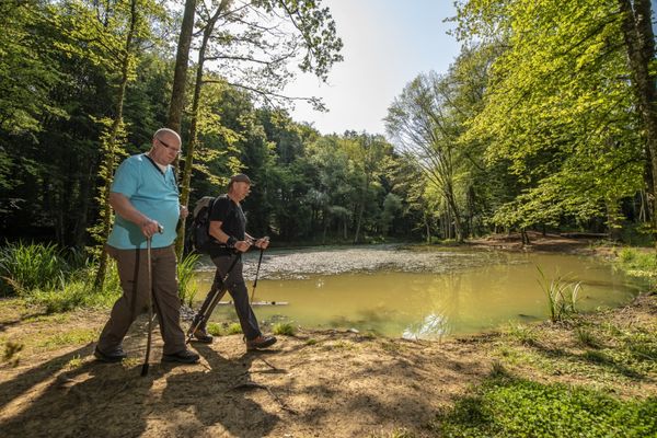
This section of the Mullerthal Trail leads from Müllerthal to Hersberg. It is one of 13 sections into which the entire Mullerthal Trail can be divided.

From the Heringer Millen, the Mullerthal Trail runs in the direction of Schéissendëmpel where he crosses the road and climbs into the forest. From there narrow paths, completely surrounded by impressive cliffs, lead to rocks with imaginative names like Eilebuerg, Goldfralee or Goldkaul. A whole series of myths and legends are being told of these bizarre rock formations. The Mullerthal Trail passes along the Konsdrëffer Millen and continues through the forest to the crevices of Rittergang, Déiwepëtz and the pitch-black canyon and geosite Kuelscheier.

Behind Kuelscheier the trail continues through forests and rocky landscapes towards Hersberg. Just before the village, you can continue or select a shortcut to go to Scheidgen. If you follow the path towards Hersberg, you get to Bildchen, a 500 year old oak tree bearing a Virgin Mary Statue.

Suggestions nearby

Mullerthal Trail – Section 11: Müllerthal–Hersberg

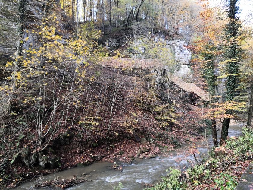
  • Trap - Schiessentümpel staircase
    Trap - Schiessentümpel staircase
    Find out more
  • ©Konsdrëffer Millen Brauhaus - Béiergaart
    Konsdrëffer Millen Brauhaus - Béiergaart
    Konsdrëffer Millen Brauhaus - Béiergaart
    Find out more
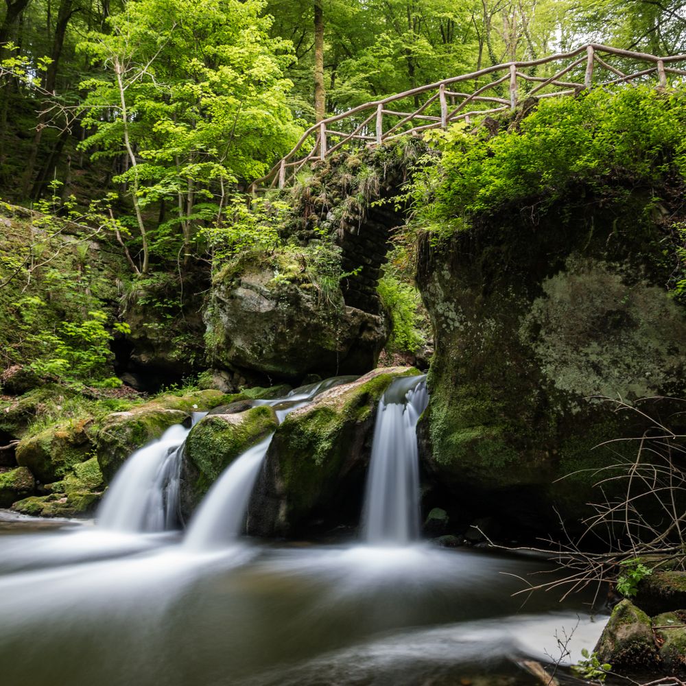
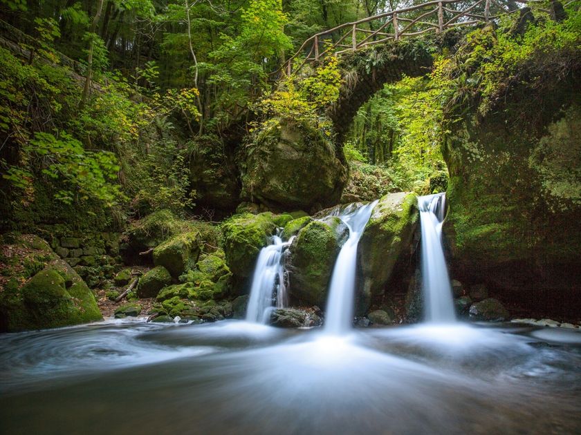
  • Schiessentümpel / Schéissendëmpel waterfall
    Schiessentümpel / Schéissendëmpel waterfall
    Find out more
  • ©Pancake! Photographie
    Rock formation "Kuelscheier"
    Visit the pitch-dark crevice of about 100 m length.
    Find out more
  • Natura 2000 area - Valley of the Black Ernz
    Natura 2000 area - Valley of the Black Ernz
    Find out more
  • ©Charel Heinen
    Brasserie Heringer Millen
    Eat, drink, relax – the Brasserie Heringer Millen in the locality of Mullerthal welcomes you.
    Find out more

Similar hiking tours

©Visit Éislek
Circular routes
Auto-Pédestre hiking route Heiderscheid
Distance: 7,97 km
Duration: 2:25 h
Difficulty: medium
Find out more
©Dan Castiglia, Visit Éislek
Circular routes
Auto-Pédestre route Colmar-Berg
Distance: 7,24 km
Duration: 2:00 h
Difficulty: medium
Find out more
©Visit Éislek
Circular routes
Auto-Pédestre hiking route Esch-Sur-Sûre
Distance: 9,72 km
Duration: 3:10 h
Difficulty: medium
Find out more
©Pulsa Pictures, ORT SUD
Thematic paths
Nature walk "Natura 2000" - Ellergronn
Distance: 11,89 km
Duration: 3:10 h
Difficulty: medium
Find out more
©Visit Luxembourg
Circular routes
Auto-Pédestre Hiking Trail Holtz
Distance: 8,92 km
Duration: 2:30 h
Difficulty: medium
Find out more
©Visit Éislek
Circular routes
Auto-Pédestre hiking route Arsdorf
Distance: 11,05 km
Duration: 3:10 h
Difficulty: medium
Find out more
©Visit Éislek
Circular routes
Auto-Pédestre route Goesdorf
Distance: 6,87 km
Duration: 2:10 h
Difficulty: medium
Find out more
©Visit Éislek
Circular routes
Auto-Pédestre hiking route Wilwerwiltz
Distance: 9,65 km
Duration: 2:50 h
Difficulty: medium
Find out more
©Runtschelt, Visit Éislek
Circular routes
Auto-Pédestre Hiking Trail Kaundorf
Distance: 8,51 km
Duration: 2:25 h
Difficulty: medium
Find out more
outdooractive This website uses technology and content from the Outdooractive Platform.