©Visit Luxembourg
Müllerthal Germany France

Local hiking trail - J5

Hunting Season 2026/27 — Check for hunts

Autumn is here, and that means hunting season has begun! From mid-October to January/February, hunters are active across the country. Stay safe by checking hunt dates in your area on our Map. 

Click on Map in the Header > Services > More > Hunting.

Starting point

Junglinster: Pavilion Sports Center/Soccer Field (Op de Fréinen)

Destination

Junglinster: Pavilion Sports Center/Soccer Field (Op de Fréinen)

Distance
6,54 km
Duration
1:44 h
Difficulty
easy
  • Condition
Highest point
391 Hm
Lowest point
300 Hm
Aggregated Ascent
104 Hm
Aggregated Descent
104 Hm
Circular routes Visit Luxembourg

Description

Kids & Family Refreshment stops available

A pleasant walk through and around Junglinster, mostly on quiet, paved country roads.

-Promenade of Junglinster-

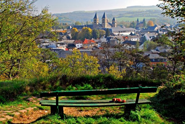
The path is an ideal family walk in almost any weather. It is recommended to visit the recently renovated parish church of Junglinster halfway through. It is considered one of the most beautiful churches in the region. The entire building stands on oak piles driven into the damp ground. The right side altar comes from the castle chapel of Bourglinster. Through wooded heights, it leads back to the starting point.

Suggestions nearby

Local hiking trail - J5

  • ©Bistro Lënster
    Bistro Lënster
    The Bistro Lënster offers a convivial and familiar atmosphere.
    Find out more

Similar hiking tours

©Unknown
Thematic paths
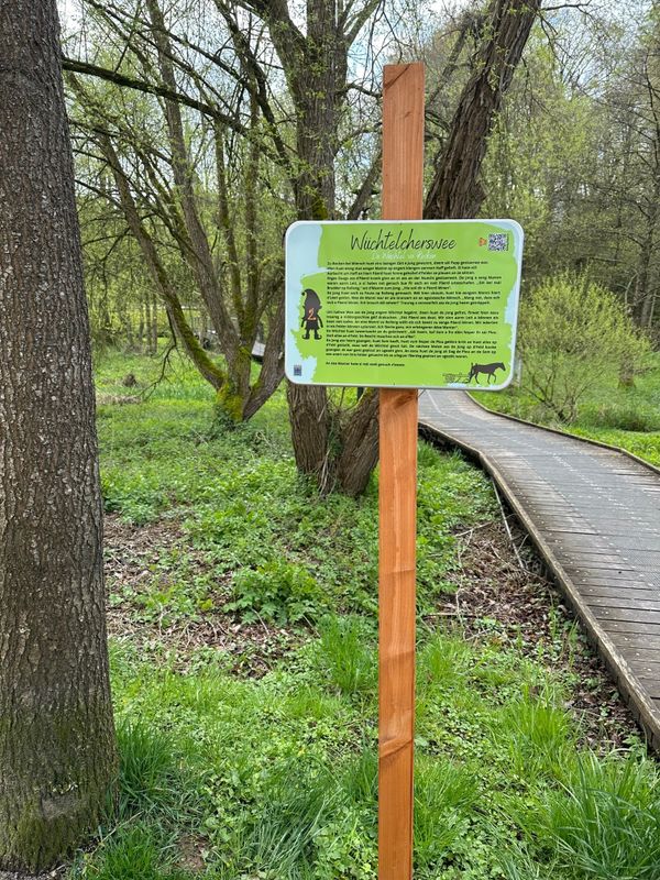
Wiichtelcherswee Useldeng
Distance: 2,45 km
Duration: 0:40 h
Difficulty: easy
Find out more
©Visit Luxembourg
Circular routes
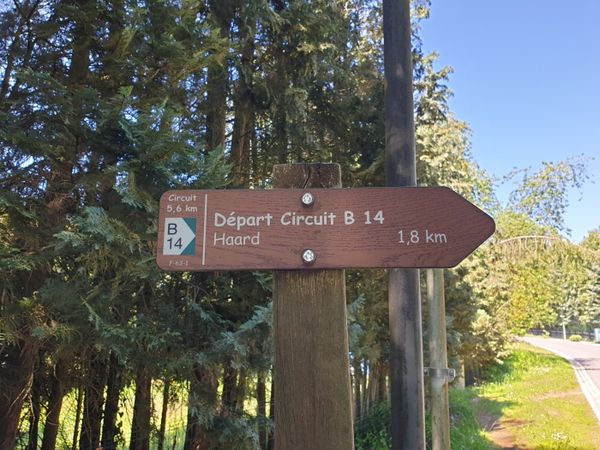
Local hiking trail - B14
Distance: 5,31 km
Duration: 1:25 h
Difficulty: easy
Find out more
©Visit Luxembourg
Circular routes
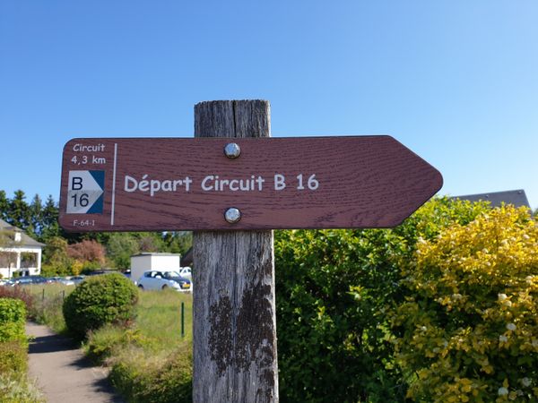
Local hiking trail - B16
Distance: 4,32 km
Duration: 1:05 h
Difficulty: easy
Find out more
©Visit Luxembourg
Circular routes
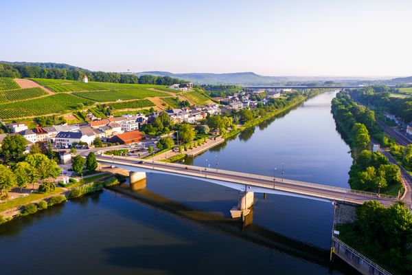
Auto-pedestrian hiking trail Schengen
Distance: 5,40 km
Duration: 1:30 h
Difficulty: easy
Find out more

No image available
Distance trails
36 CFL hiking trails from station to station : Leudelange - Mamer Lycée - Mamer
Distance: 10,96 km
Duration: 2:45 h
Difficulty: easy
Find out more
©Visit Luxembourg
Circular routes
Local hiking trail - W1
Distance: 6,81 km
Duration: 1:47 h
Difficulty: easy
Find out more
©Unknown
Circular routes
Local hiking trail - E5
Distance: 6,33 km
Duration: 1:40 h
Difficulty: easy
Find out more
©Ville de Differdange, Ville de Differdange
Circular routes
Local hiking trail "Märchewee" Differdange
Distance: 1,01 km
Duration: 0:45 h
Difficulty: easy
Find out more
©L. Schömer, Visit Luxembourg
Circular routes
Local hiking trail - J16
Distance: 5,60 km
Duration: 1:25 h
Difficulty: easy
Find out more
outdooractive This website uses technology and content from the Outdooractive Platform.