Hunting Season 2025/26 — Check for hunts

Autumn is here, and that means hunting season has begun! From mid-October to January/February, hunters are active across the country. Stay safe by checking hunt dates in your area on our Map. 

Click on Map in the Header > Services > More > Hunting.

Starting point

Beaufort: Route de Reisdorf

Destination

Beaufort: Route de Reisdorf

Distance
5,31 km
Duration
1:25 h
Difficulty
easy
  • Condition
Highest point
413 Hm
Lowest point
357 Hm
Aggregated Ascent
57 Hm
Aggregated Descent
57 Hm
Circular routes Visit Luxembourg

Description

Kids & Family Scenic Dog-friendly

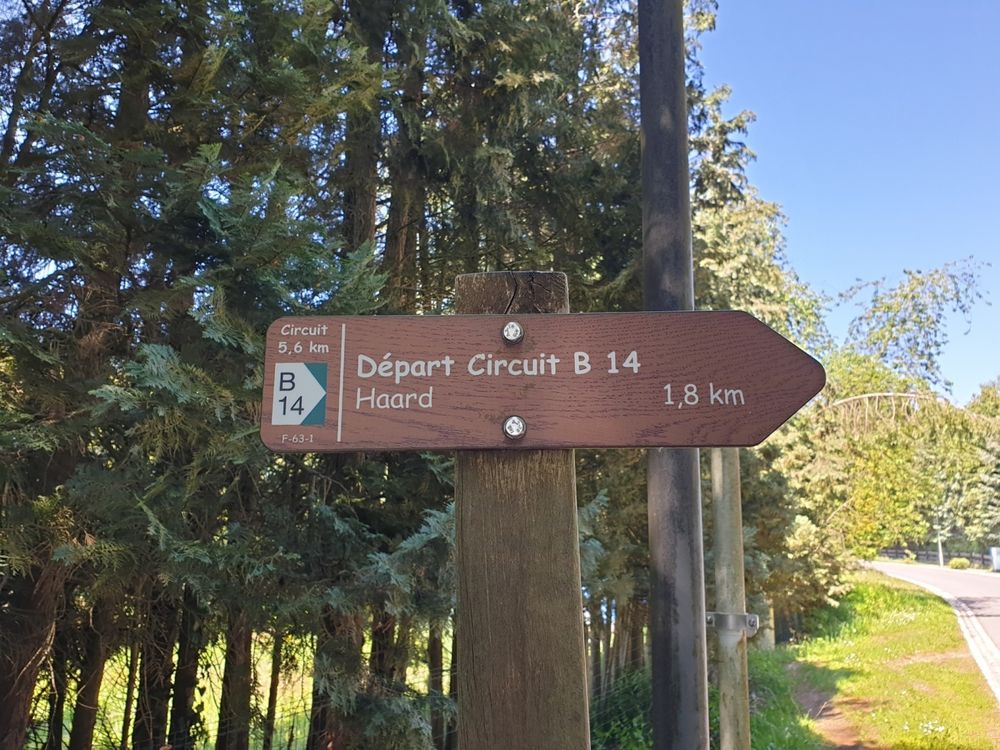
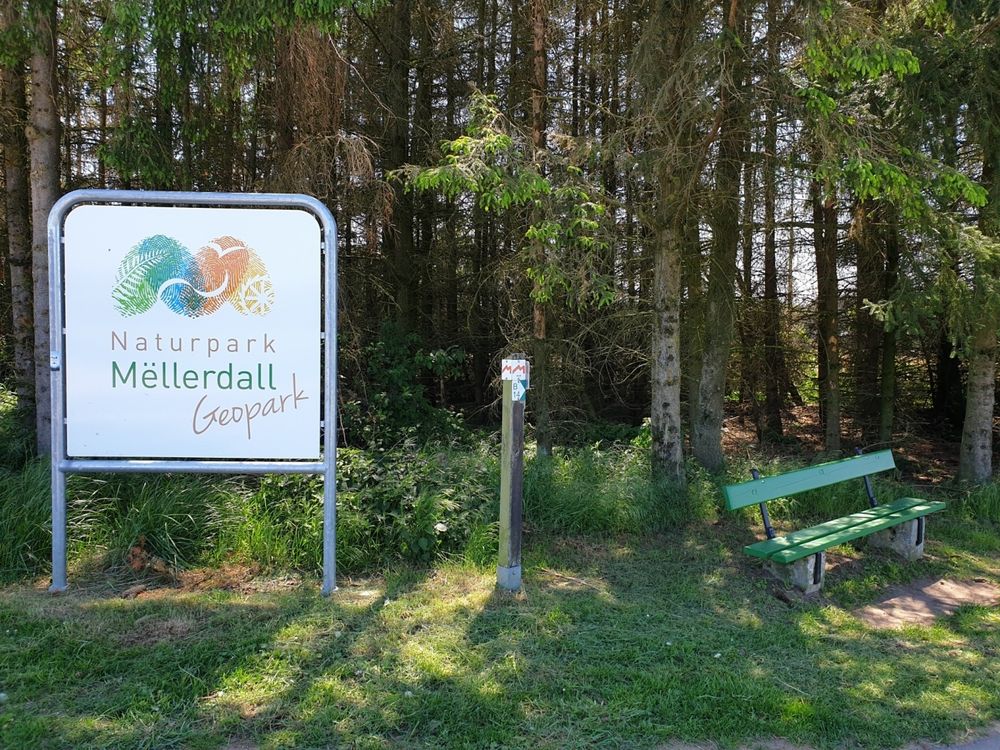
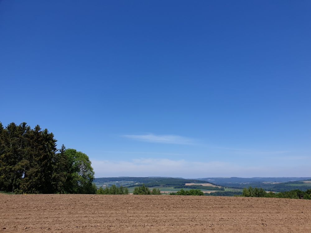
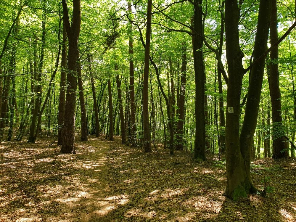
The local hiking route B14, an easy and relaxed route, offers a beautiful view and is perfect for nature lovers.

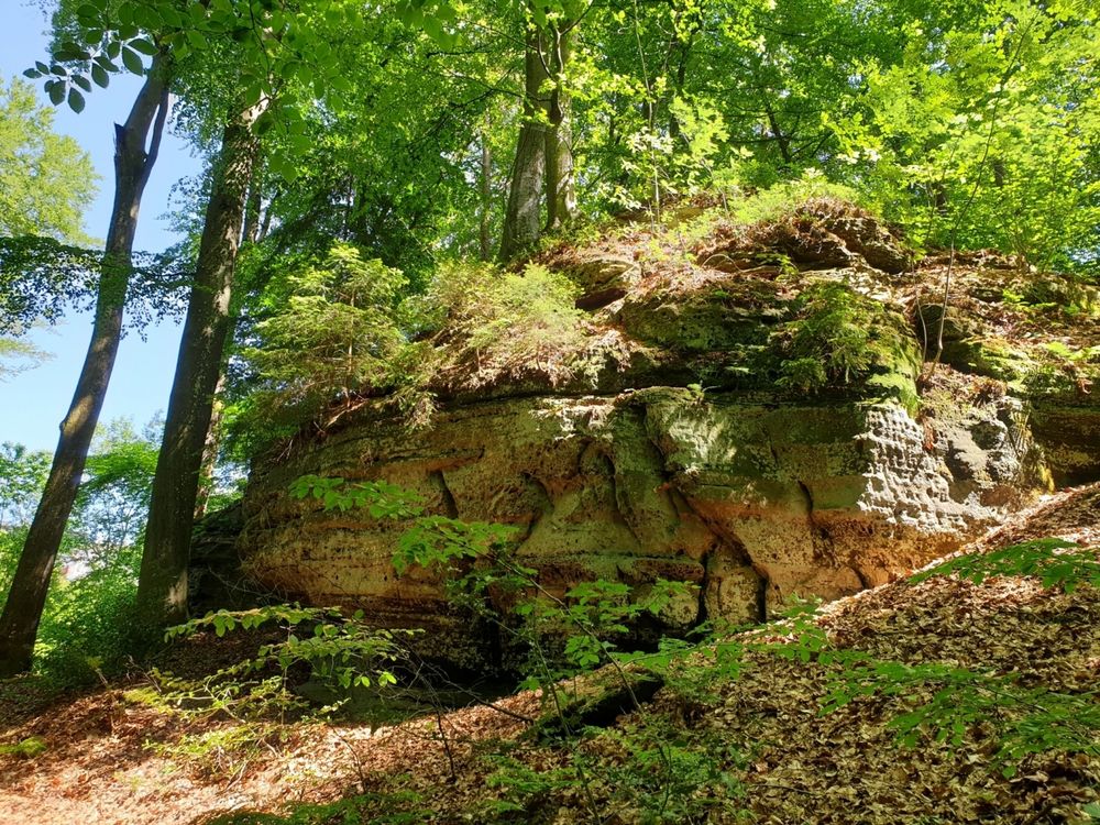
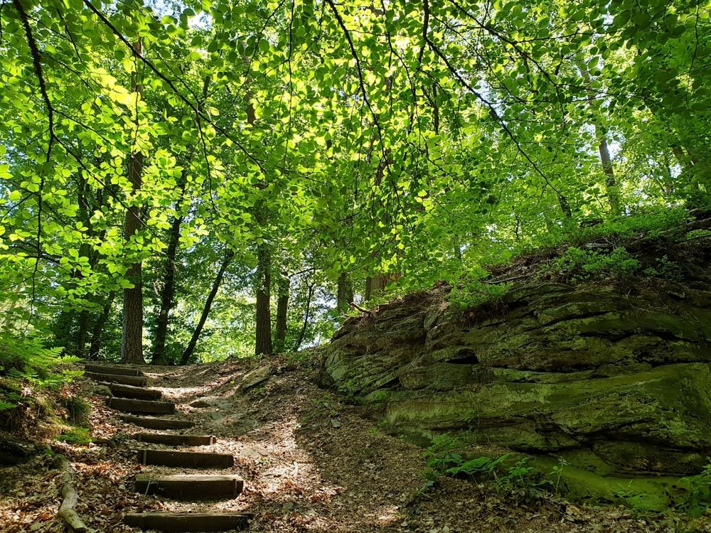
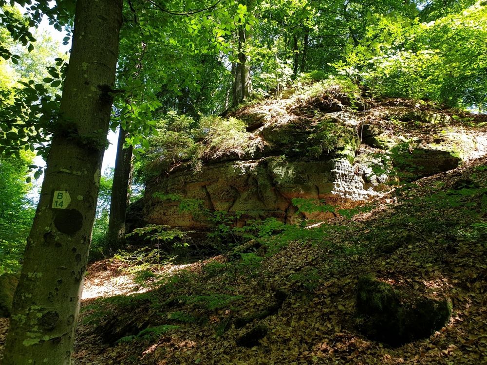
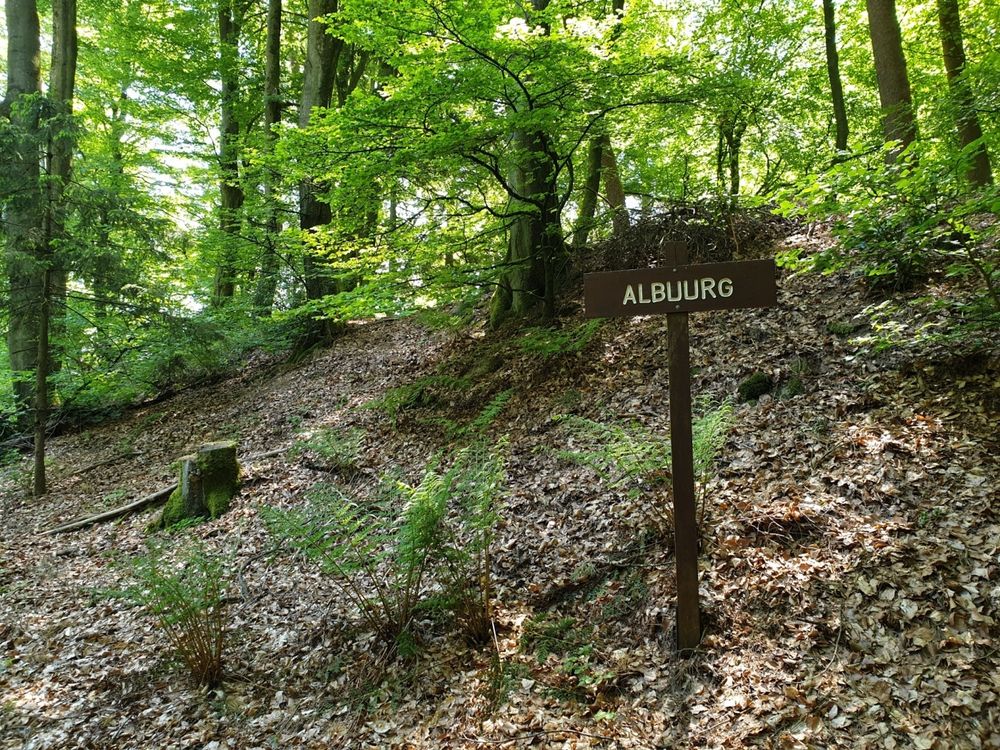
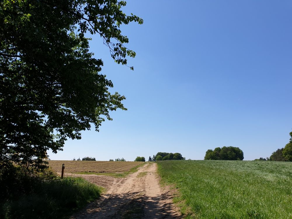
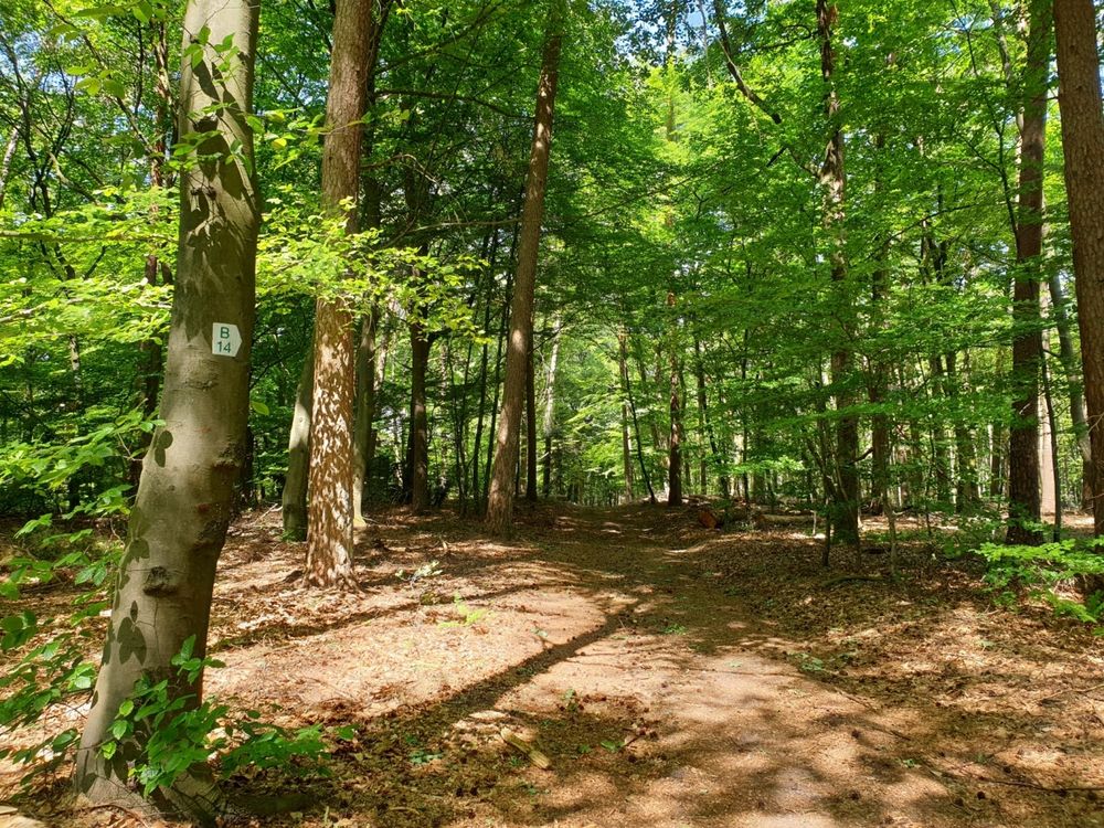
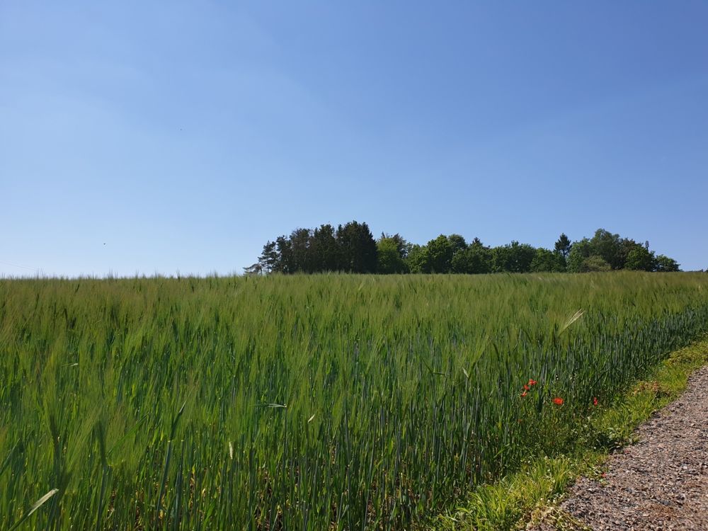
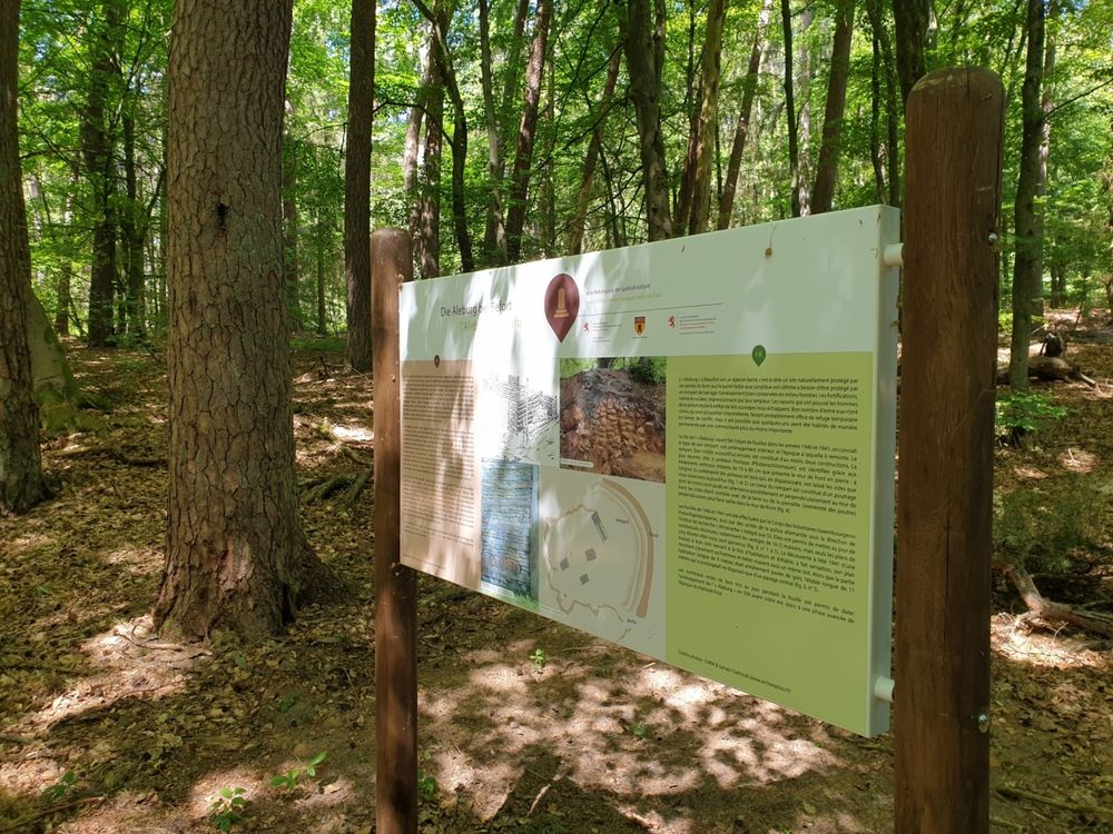
This easy route starts at Route de Reisdorf, first leading through a forest and then across an open plain with a beautiful view. The return path goes via a nice serpentine path over the Alebuerg (remains of an old defensive wall) and past Klaisgen (small chapel 50 meters to the left of the route). After that, it is not far back to the starting point.
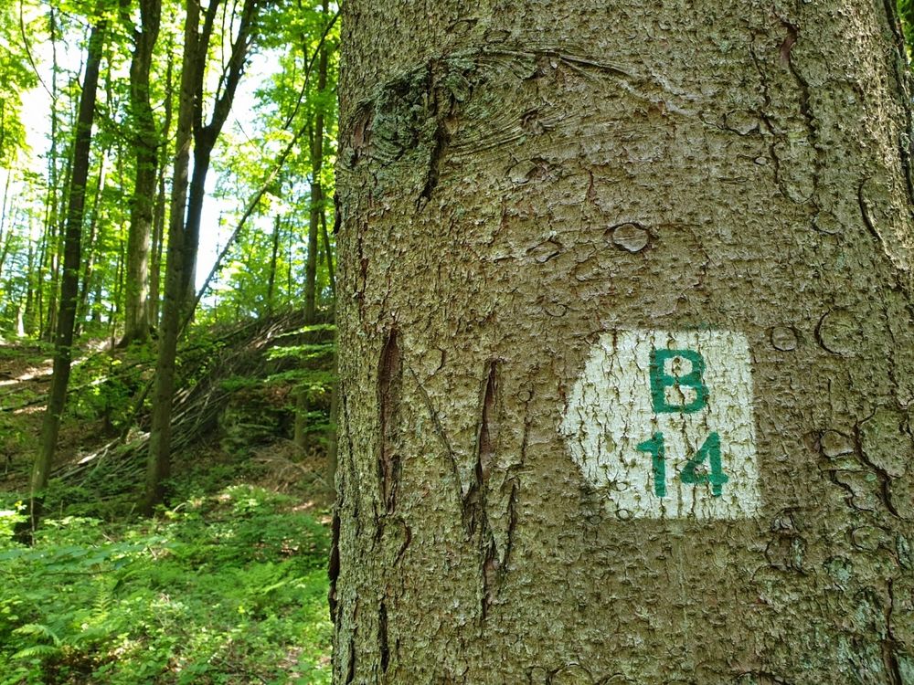
Suggestions nearby

Local hiking route - B14

  • ©Camping Um Bierg
    Camping Um Bierg Beaufort
    Pets allowedRestaurant
  • ©Brasserie Beim Adelheid
    Brasserie Beim Adelheid
    Embark on a culinary journey through Luxembourg cuisine.
    Find out more
  • ©Restaurant Hotel Meyer
    Restaurant Meyer
    Restaurant Meyer
    Find out more
  • ©HRS.de
    Hotel Meyer

Similar hiking tours

©Visit Éislek, Visit Éislek
Circular routes
Local hiking trail ES 1 - Burfelt
Distance: 4,66 km
Duration: 1:35 h
Difficulty: easy
Find out more
©Visit Éislek, Visit Éislek
Circular routes
Local hiking trail WN 2 - Asselborn Mill
Distance: 5,51 km
Duration: 1:30 h
Difficulty: easy
Find out more
©Administration Communcale de Mondorf-les-Bains
Circular routes
Auto-pedestrian hiking trail Mondorf-les-Bains
Distance: 10,38 km
Duration: 2:40 h
Difficulty: easy
Find out more
©Visit Luxembourg
Circular routes
Local hiking trail - C4
Distance: 6,75 km
Duration: 1:50 h
Difficulty: easy
Find out more
©Visit Luxembourg
Circular routes
Local hiking route - C7
Distance: 6,83 km
Duration: 1:45 h
Difficulty: easy
Find out more
©CFL, Visit Luxembourg
Distance trails
31 Station to station Niederkorn - Bascharage-Sanem
Distance: 5,28 km
Duration: 1:20 h
Difficulty: easy
Find out more
©L. Schömer, Visit Luxembourg
Circular routes
Auto-pédestre trail Nommern I
Distance: 5,90 km
Duration: 2:00 h
Difficulty: easy
Find out more
©V. G., Visit Luxembourg
Circular routes
Auto-Pédestre trail Mertzig
Distance: 8,09 km
Duration: 2:15 h
Difficulty: easy
Find out more
©ORT Sud
Distance trails
European long-distance path GR 570
Distance: 25,63 km
Duration: 7:20 h
Difficulty: easy
Find out more
outdooractive This website uses technology and content from the Outdooractive Platform.