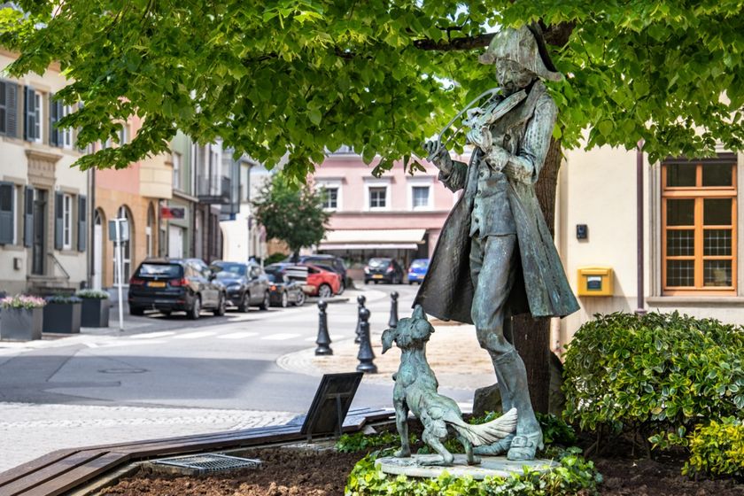
Description
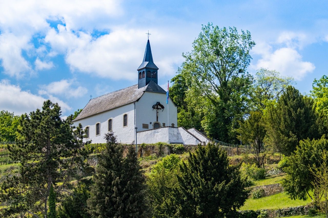
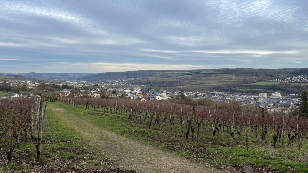
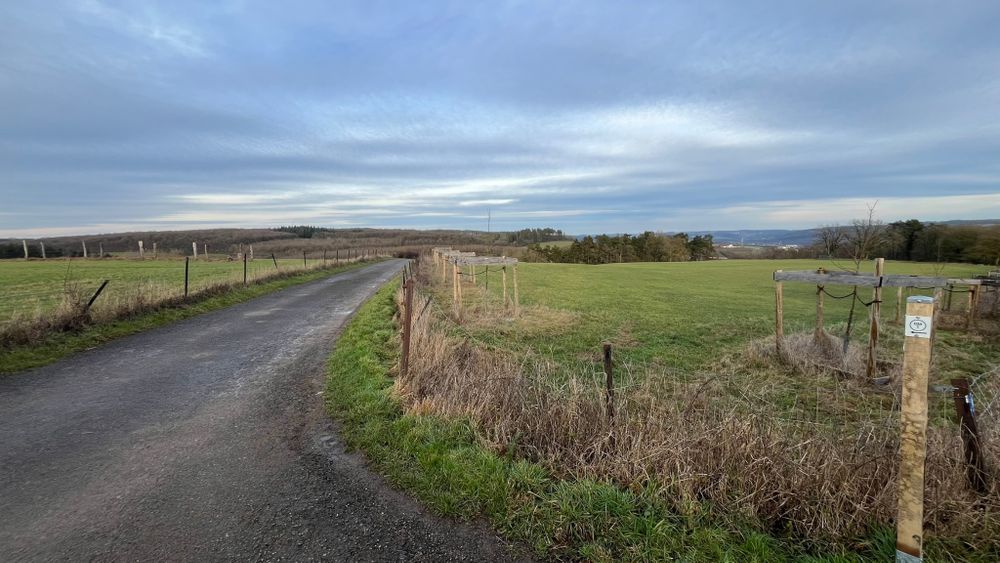
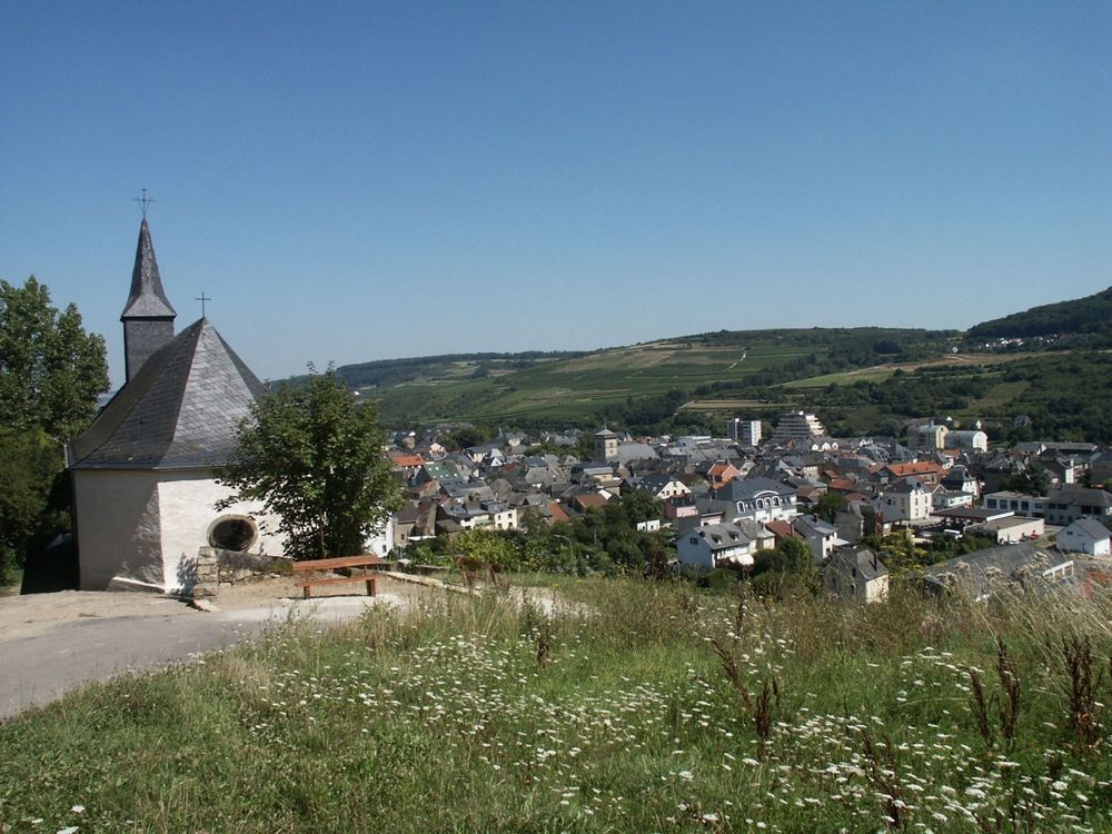
The local hiking trail starts at the bus station and leads towards the market square via Rue de Luxembourg, then climbs up to the Kreuzerberg with the “Kreuzkapelle“ chapel dating from 1737. At the site known as “Longkaul”, on the “Hougeriicht” hill, a magnificent view opens over the vineyards and the Moselle valley. The trail continues through the “Baambësch” to the Gallo-Roman funerary monument “Réimerdenkmol”, passes via Potaschberg to the forest area “Gruussfooscht”, and finally returns to the bus station through the residential areas of Grueweréck and Rue des Remparts.
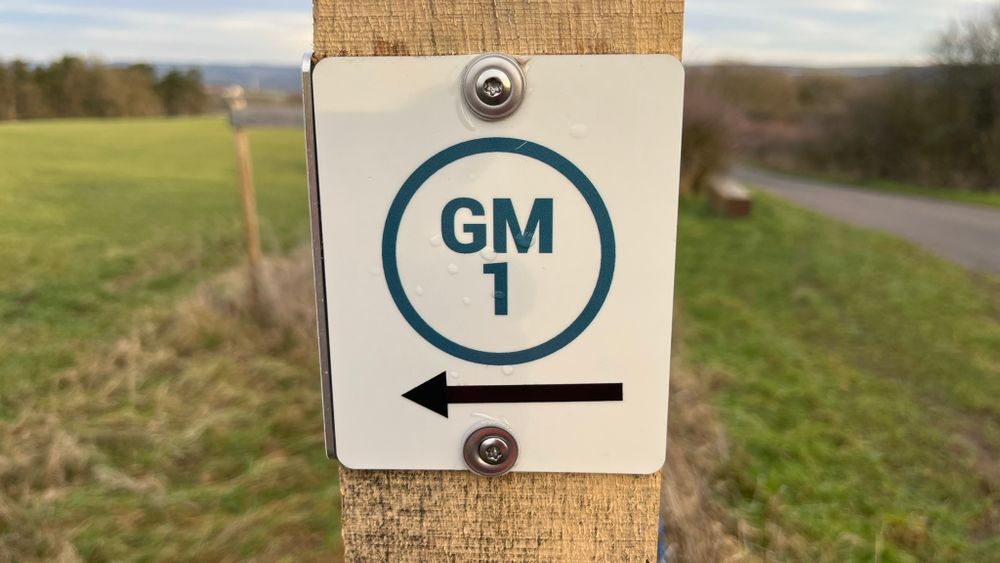
Signposting

Directions
From the bus station towards the market square, the trail leads through Rue de Luxembourg and then climbs along the 14 Stations of the Cross of the Kalvarienberg up to the Kreuzerberg, where the "Kreuzkapelle" chapel, built in 1737, is located. On the “Hougeriicht” hill, where from the Middle Ages until modern times justice for serious crimes was carried out (only the place name remains), the site known as “Longkaul”, where a rockslide occurred centuries ago, offers an impressive view over the vineyards and the Moselle valley. After crossing Oberdonvener Straße, the trail continues through the “Baambësch” to the “Réimerdenkmol”, a Gallo-Roman funerary monument located along the former Roman road from Metz to Trier, heading towards “Potaschberg”. Where industrial and artisanal zones dominate today, potash used to be extracted. The route then crosses National Road 1 and continues towards the forest area “Gruussfooscht”. Finally, it returns to the bus station via the residential areas of Grueweréck – Rue de Wecker – Rue des Remparts (where remains of the former fortress can still be seen).
Journey
Bus stop: Grevenmacher, Gare routière
Parking:
Parking "Place du Marché aux Bestiaux"


 This website uses technology and content from the Outdooractive Platform.